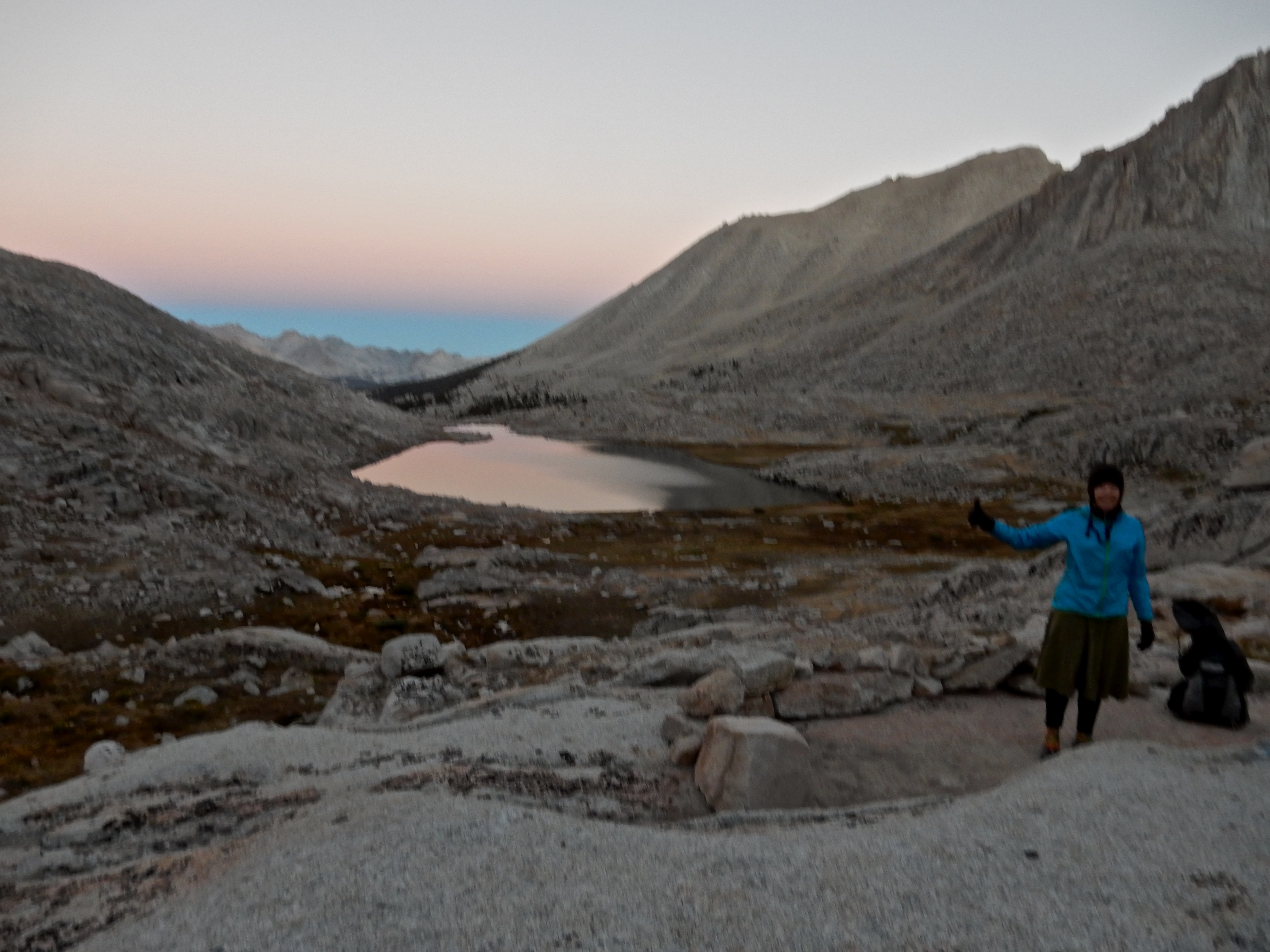
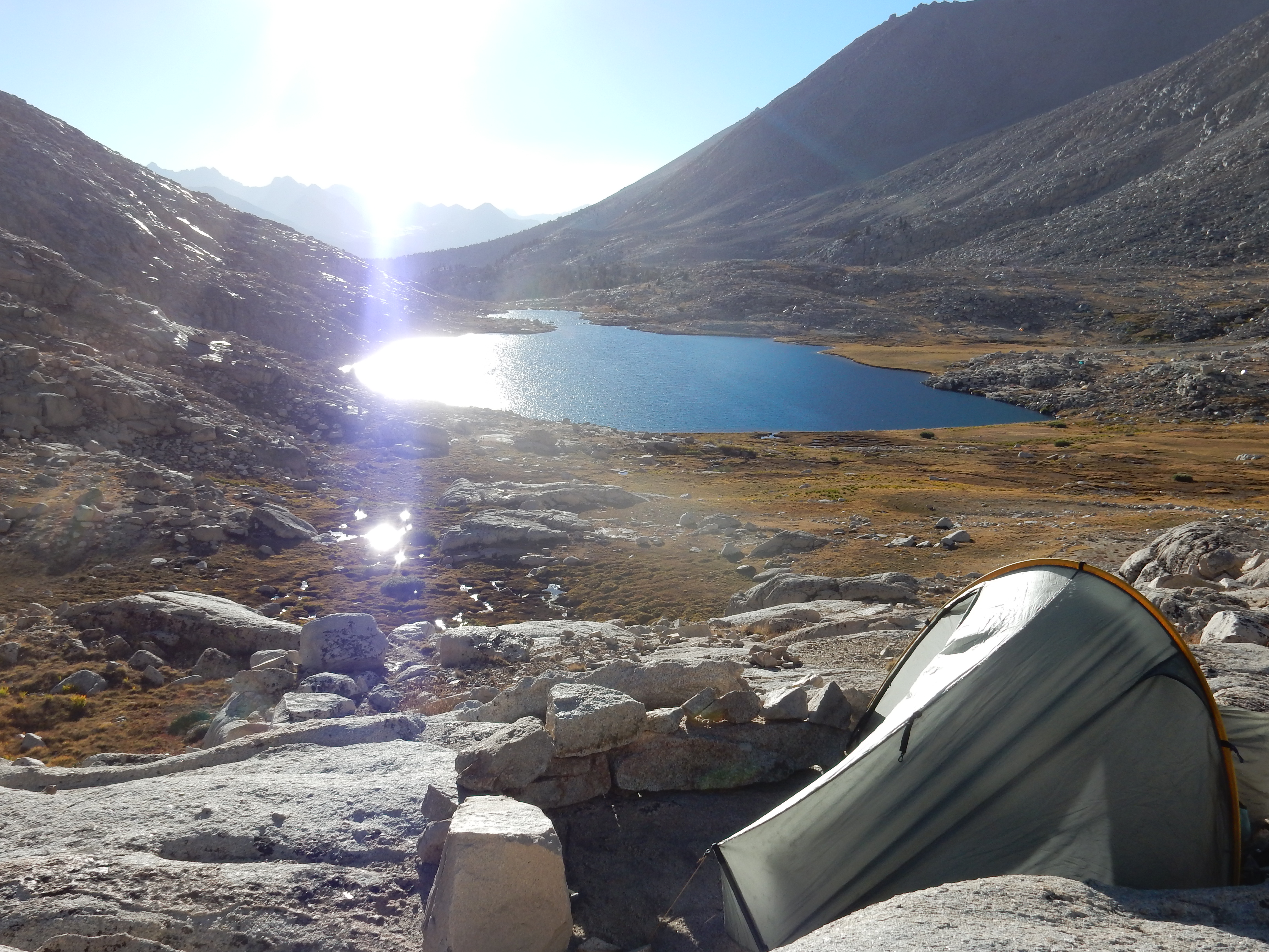
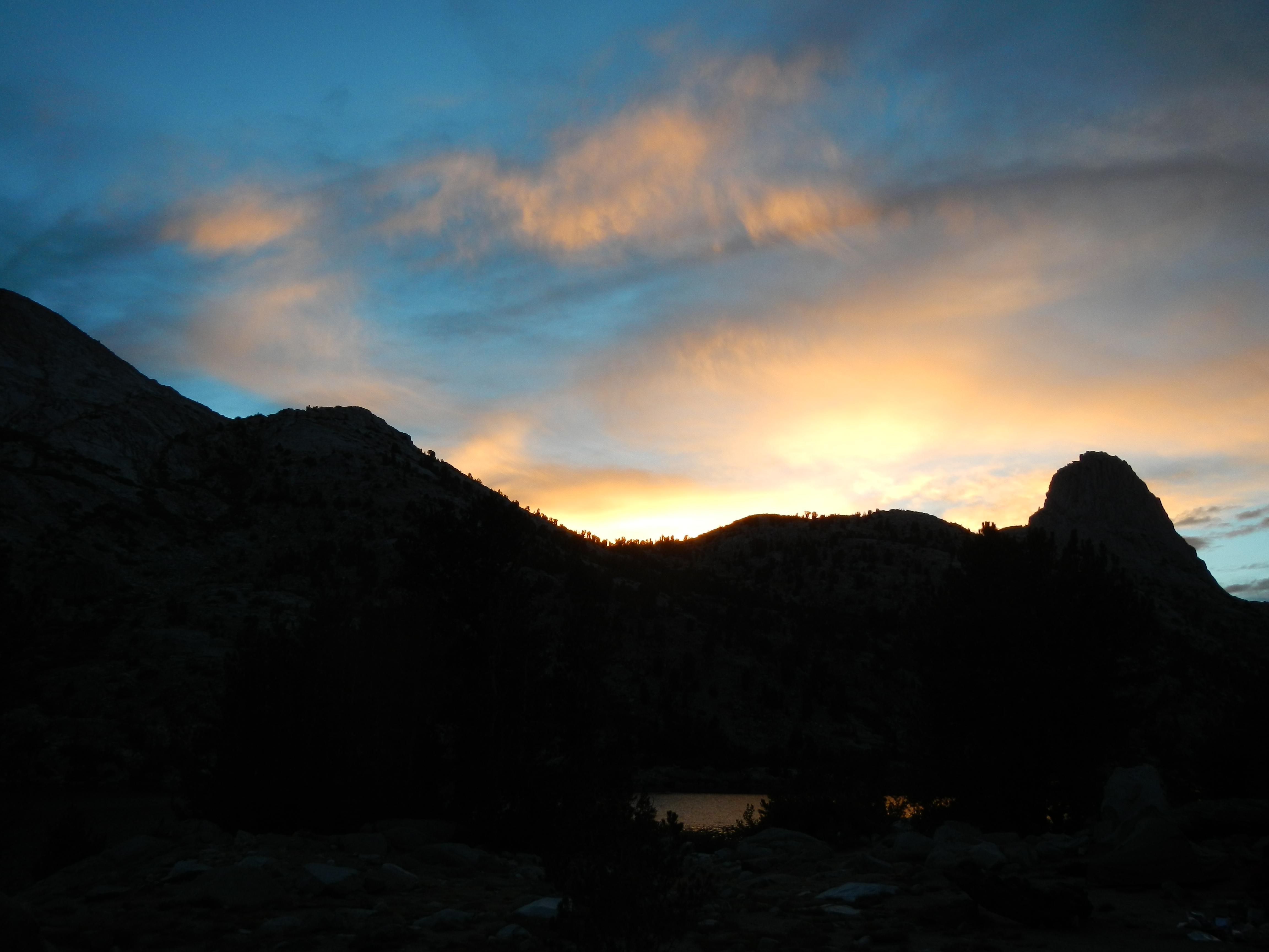
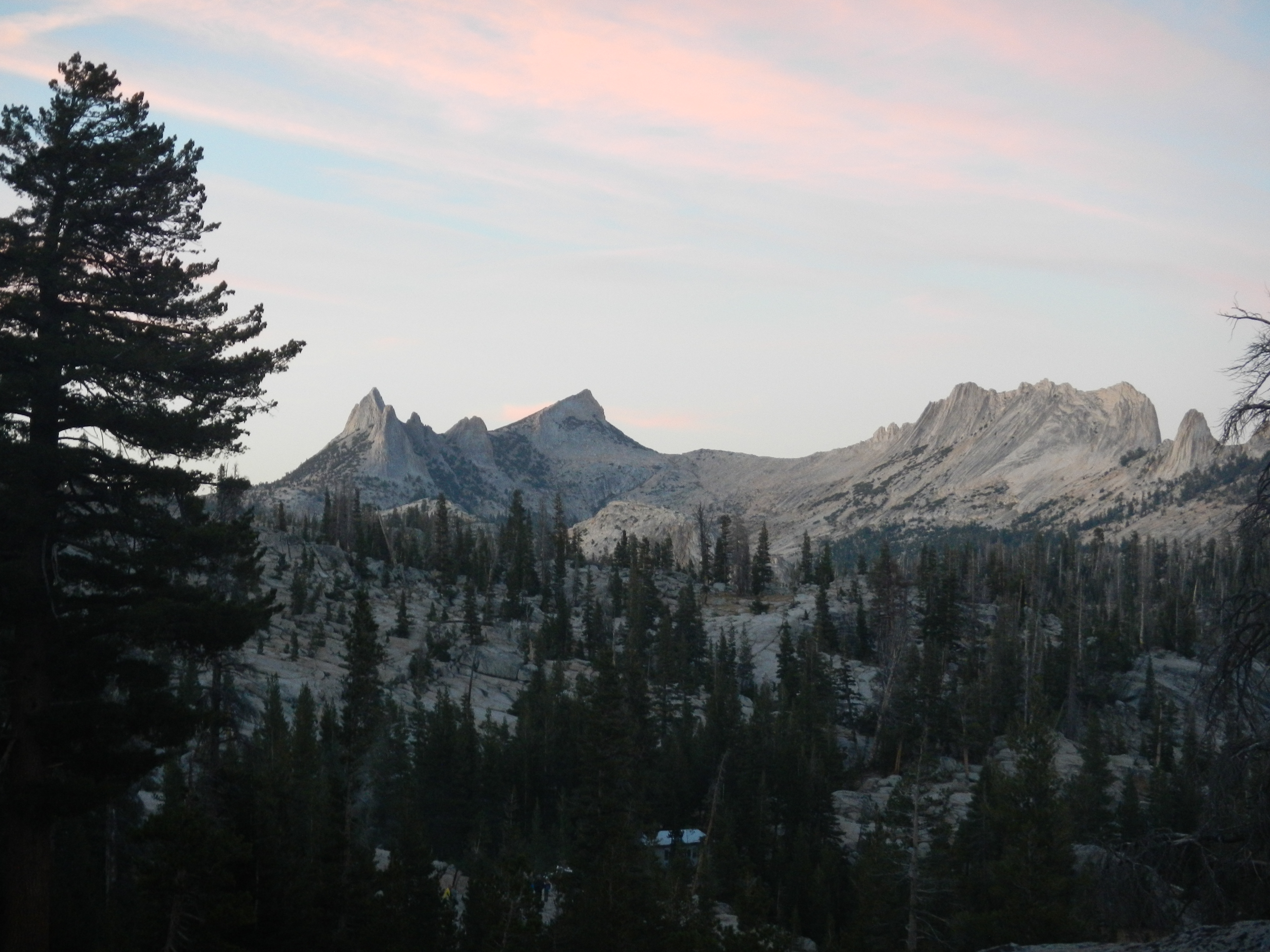
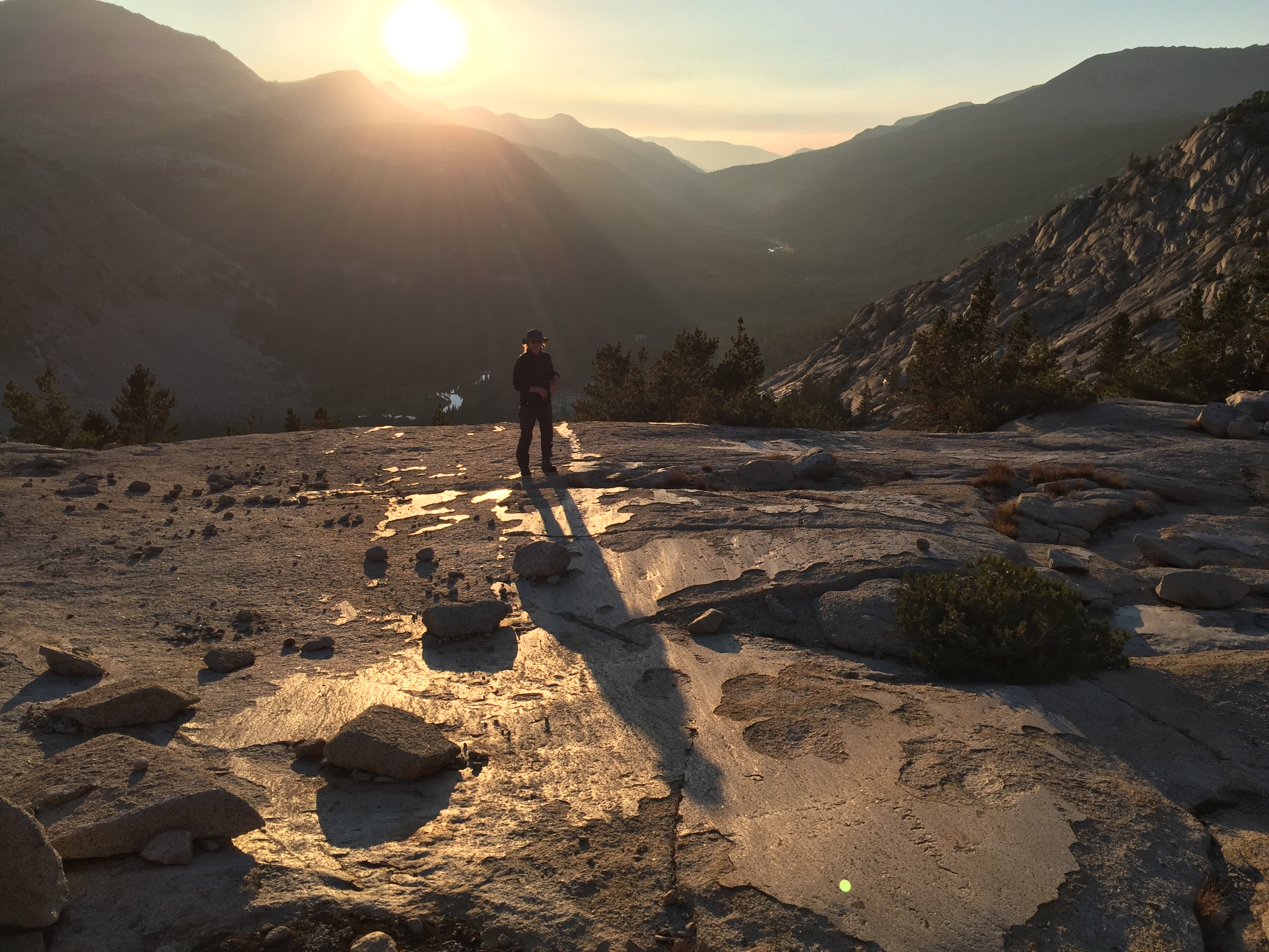
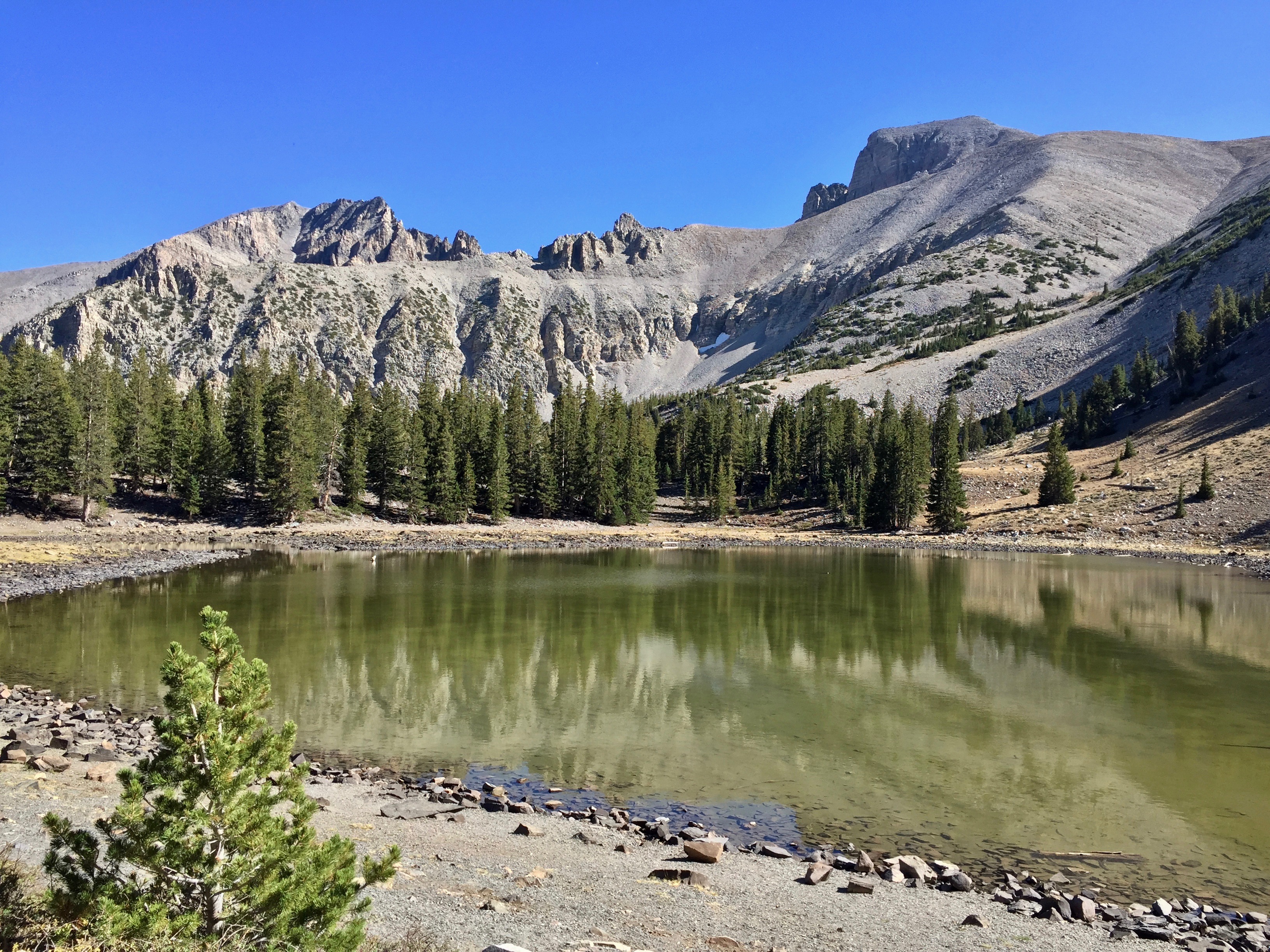
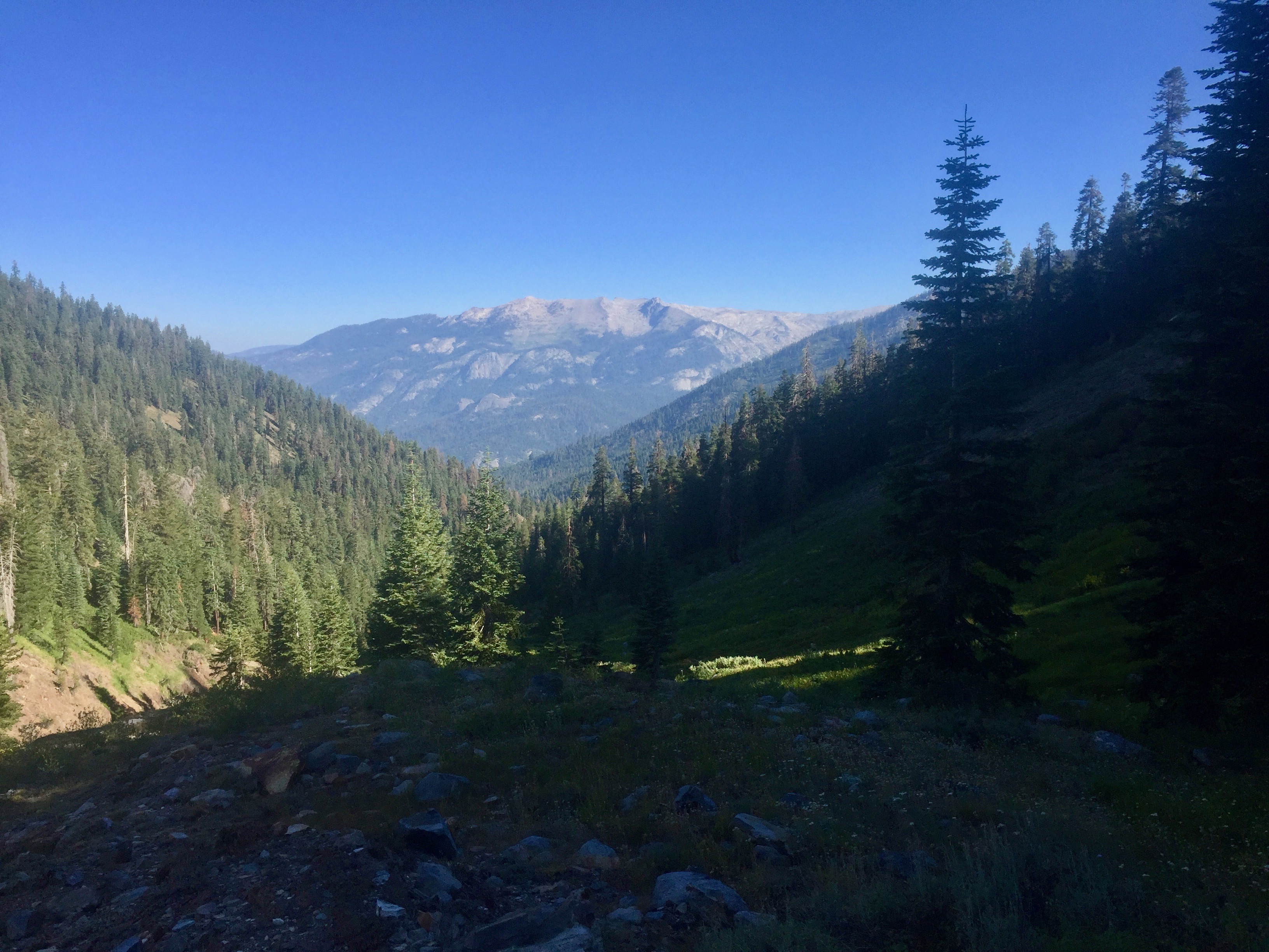
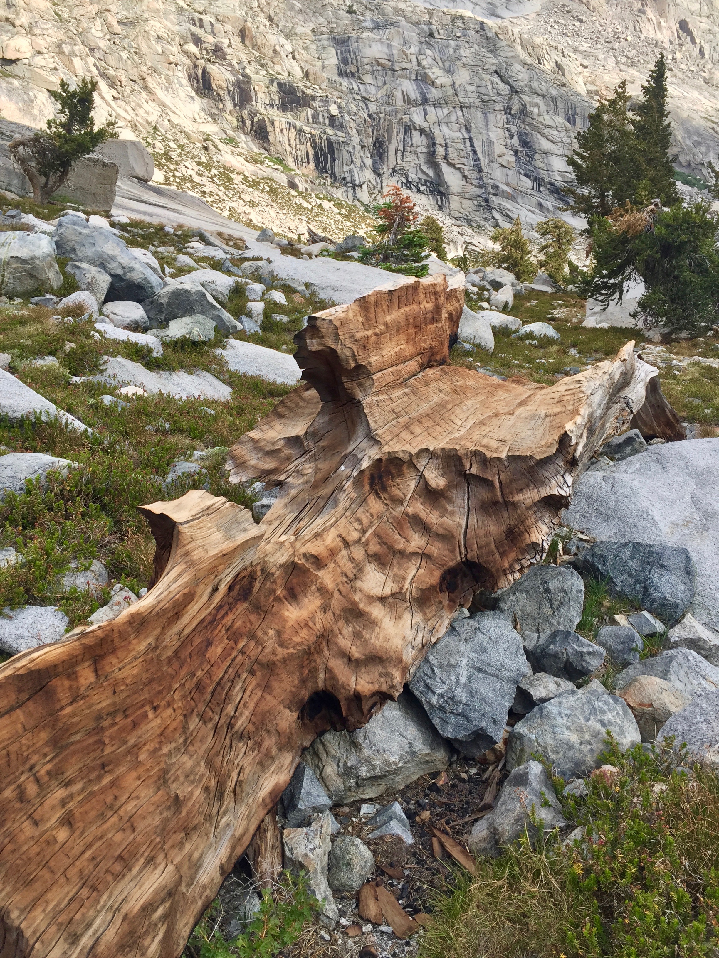
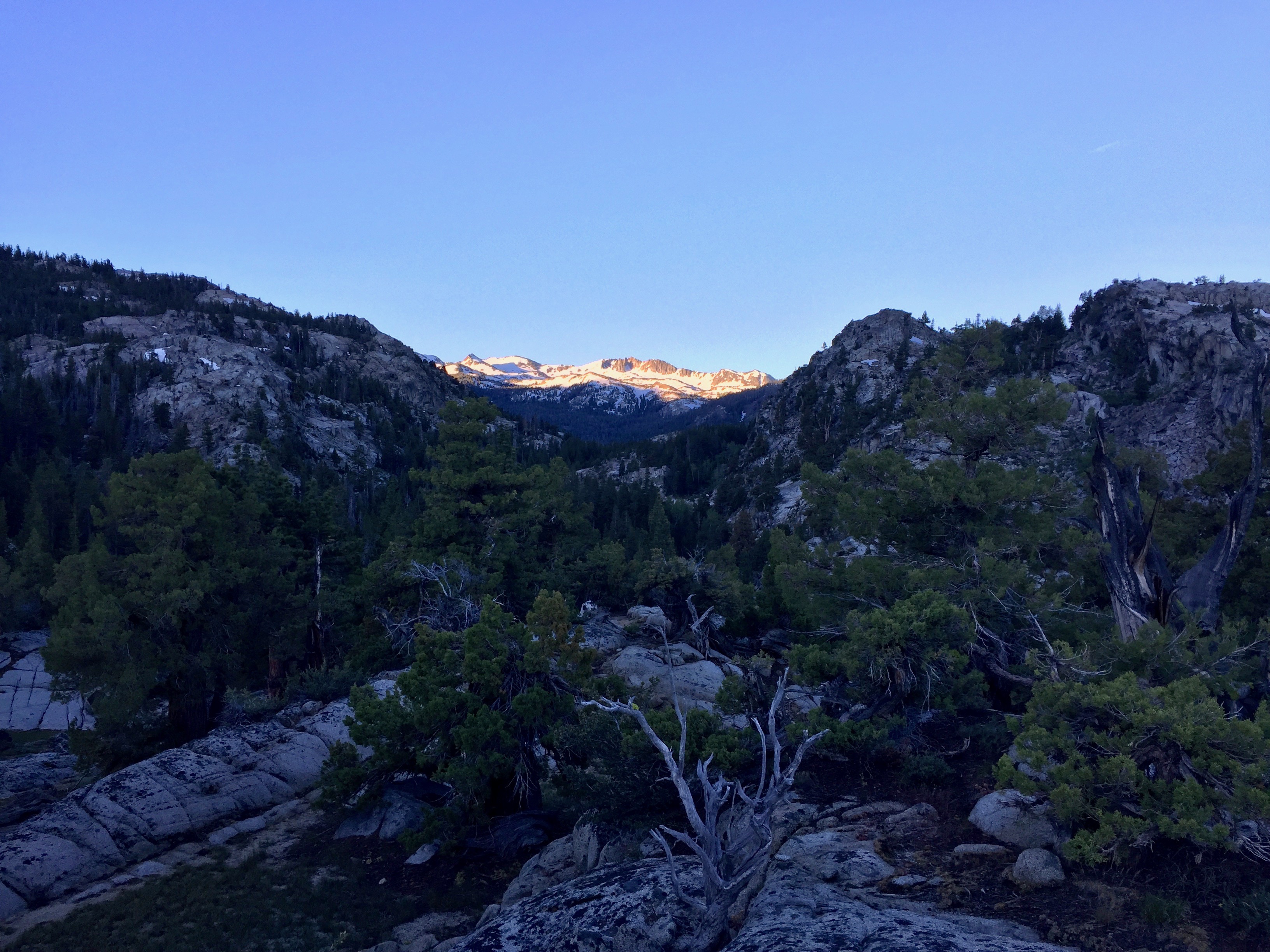
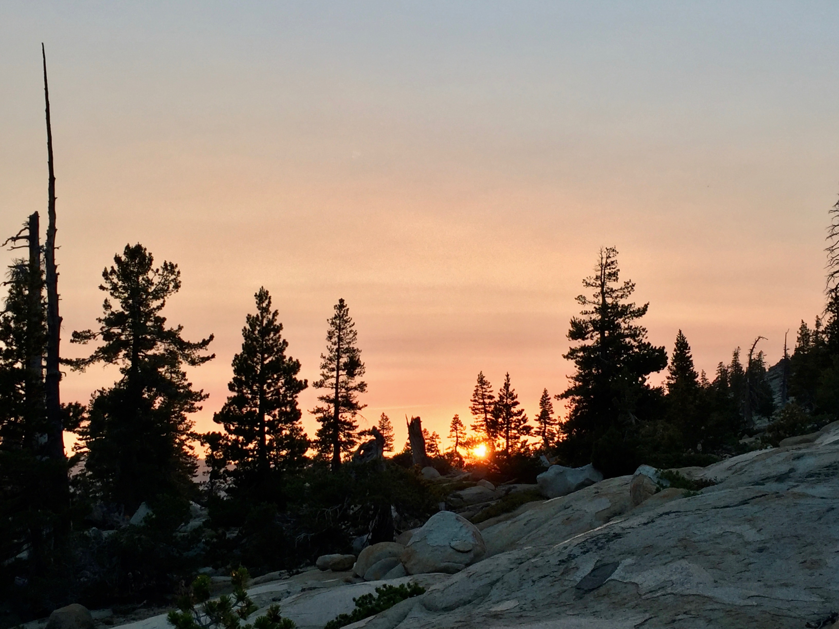
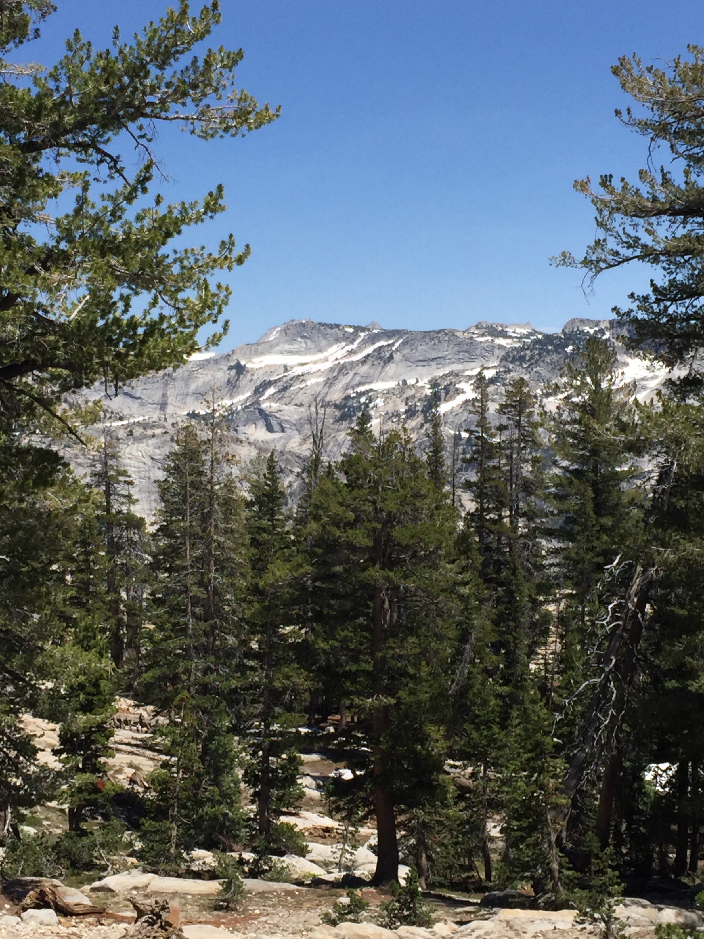
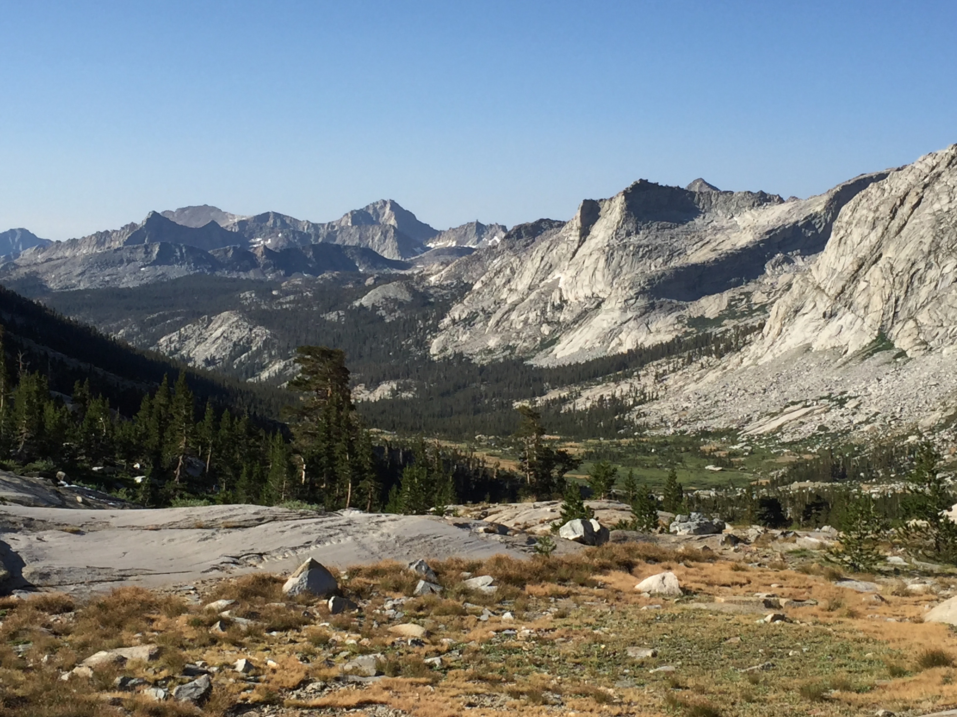
Early morning, above Guitar Lake. Photo: BW

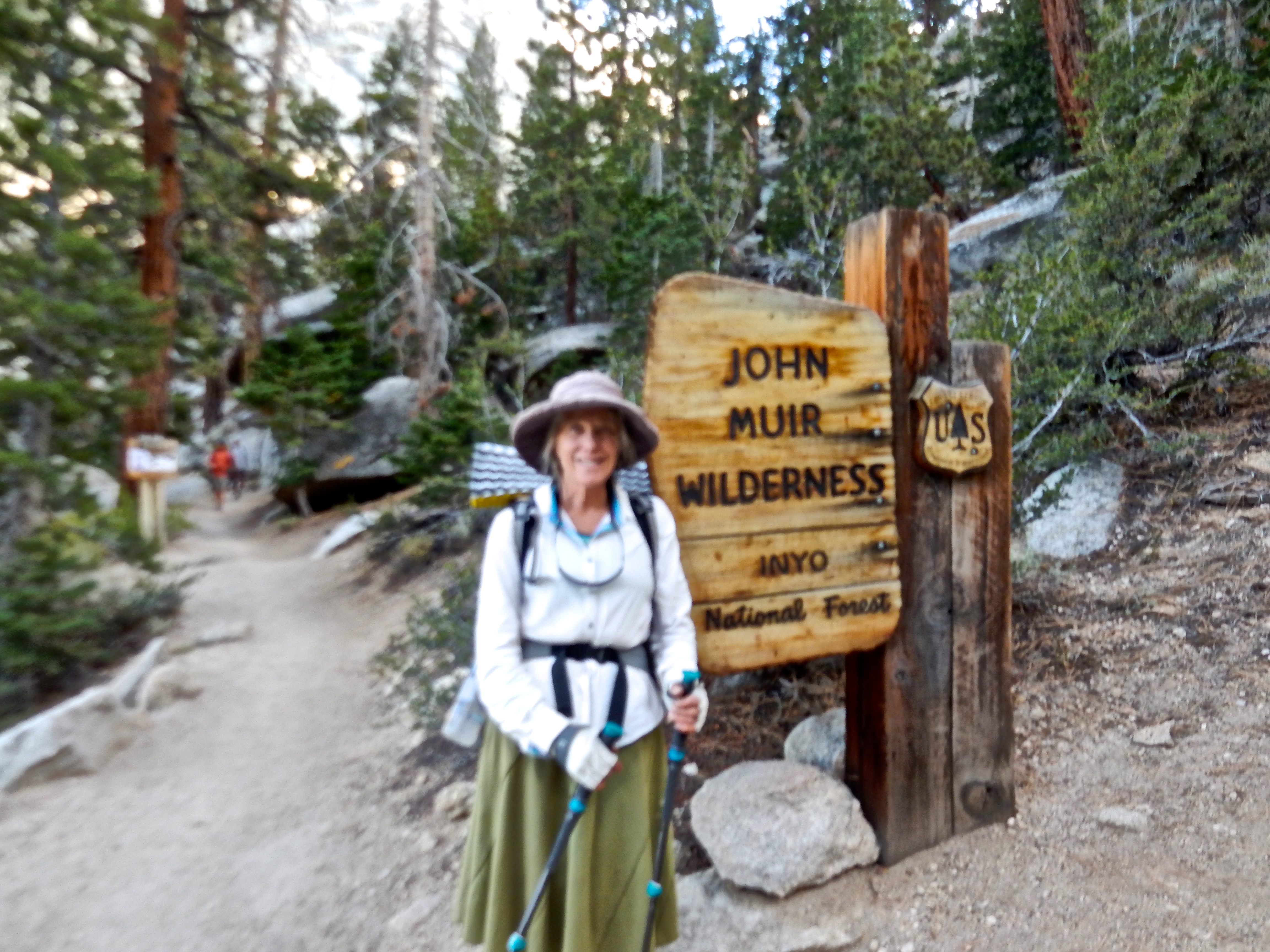
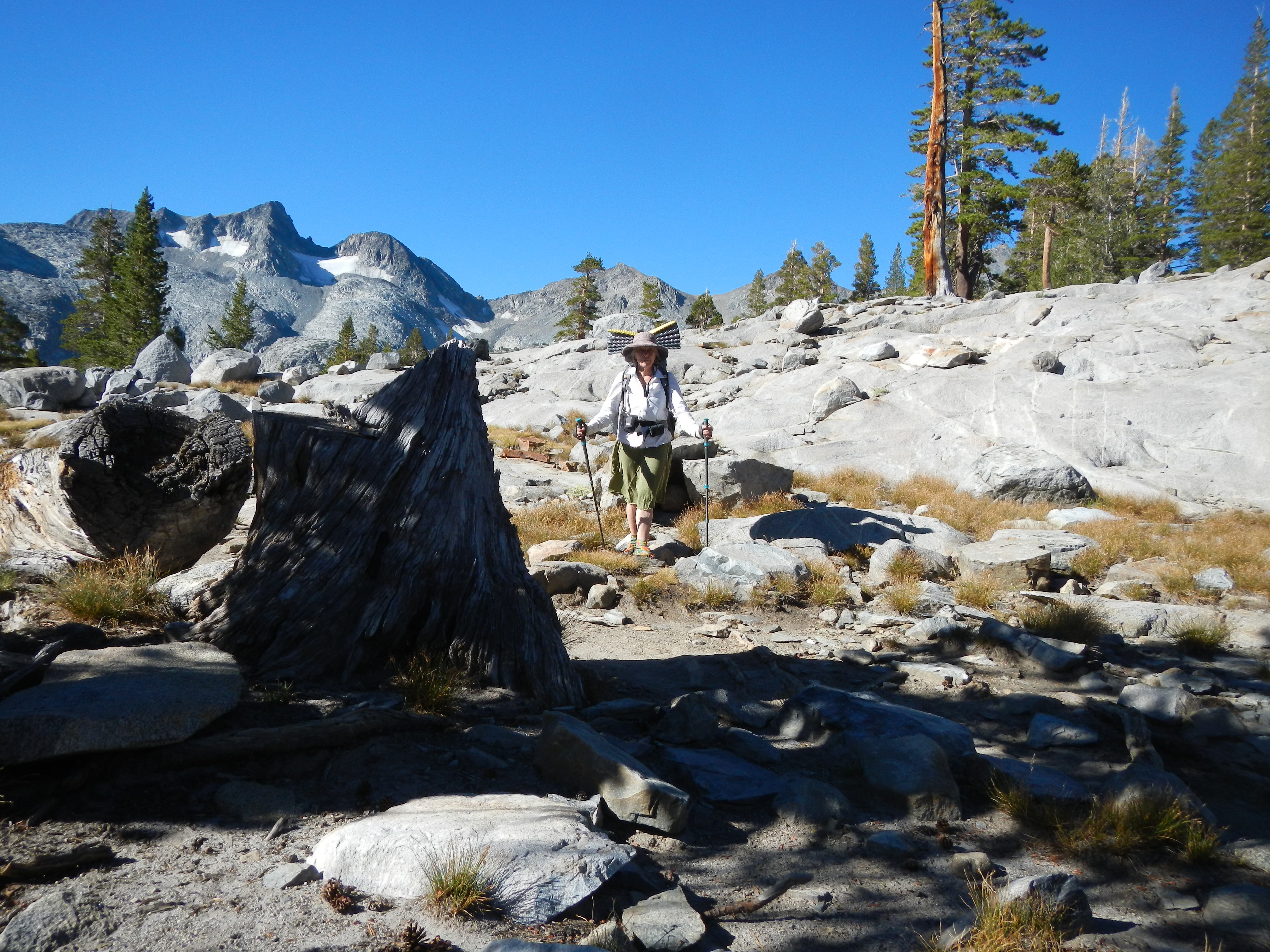
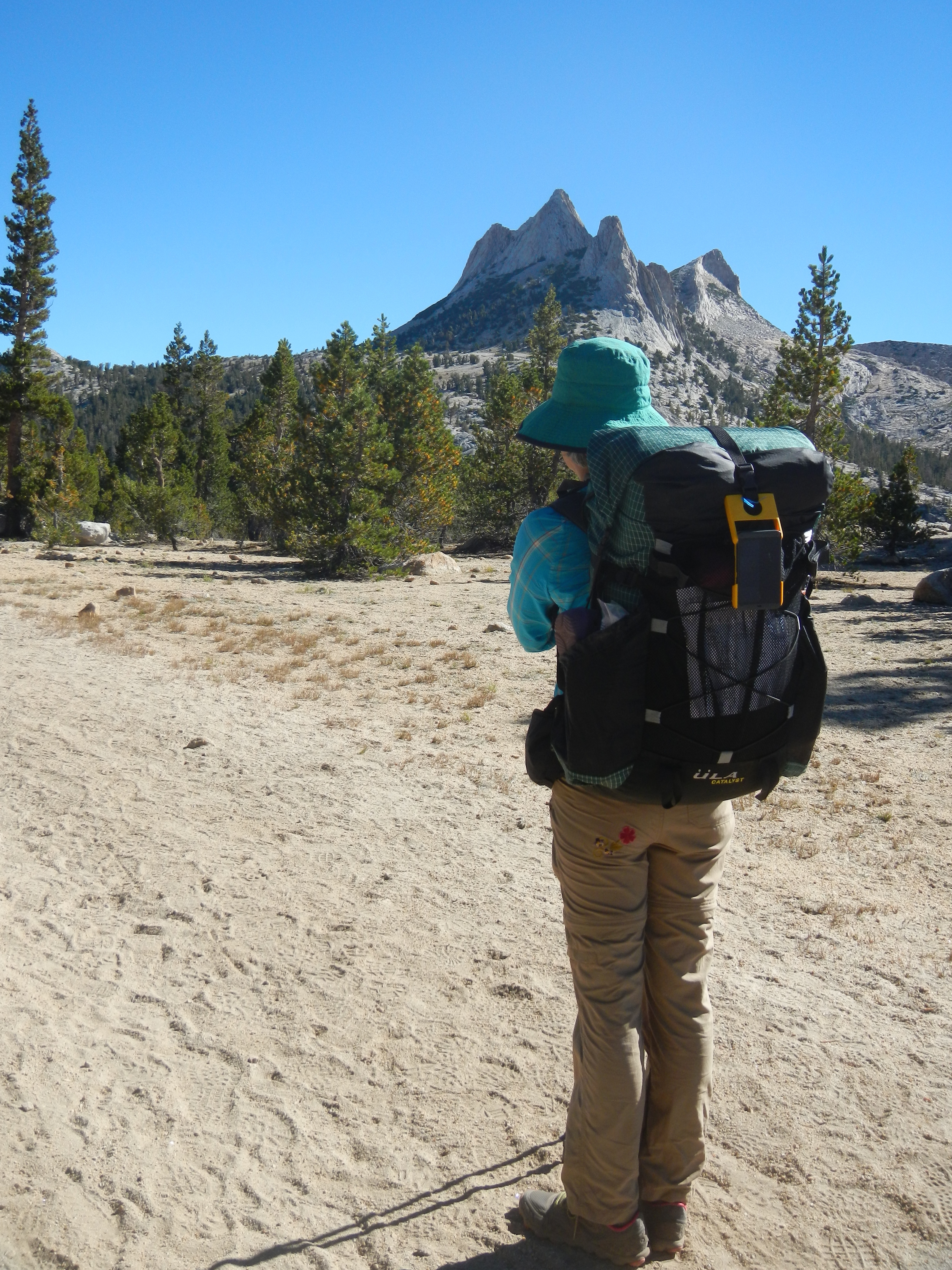
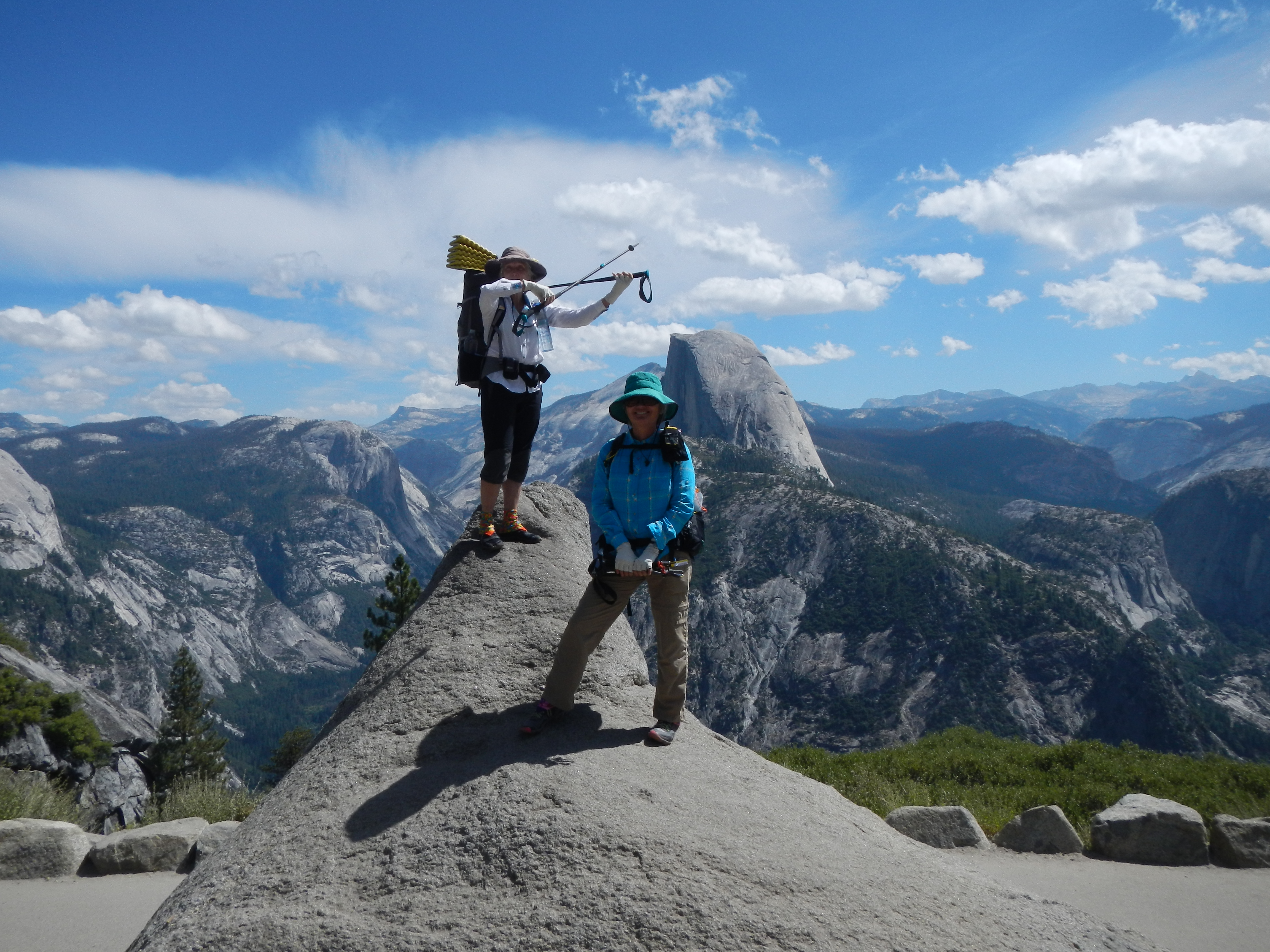
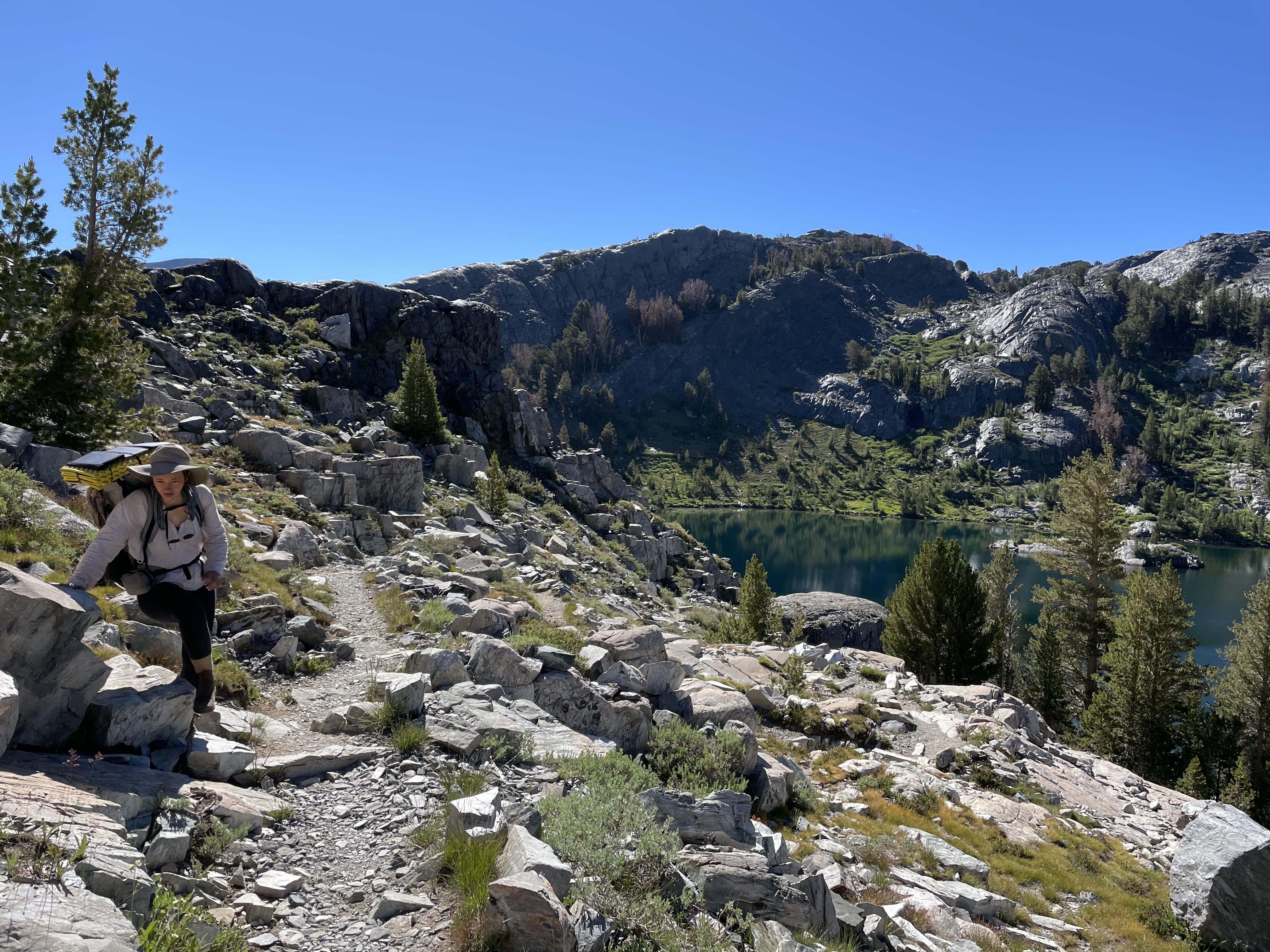
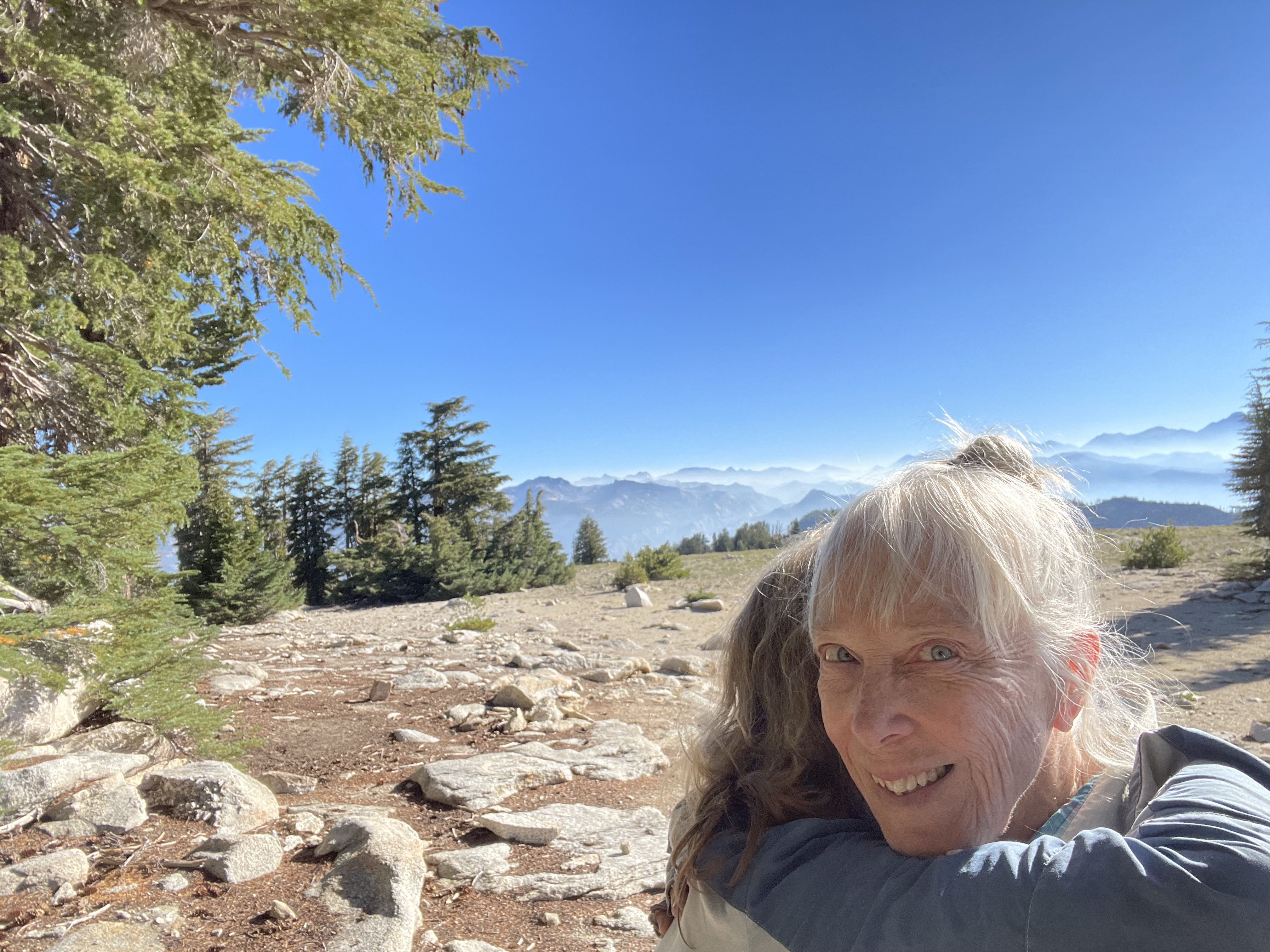
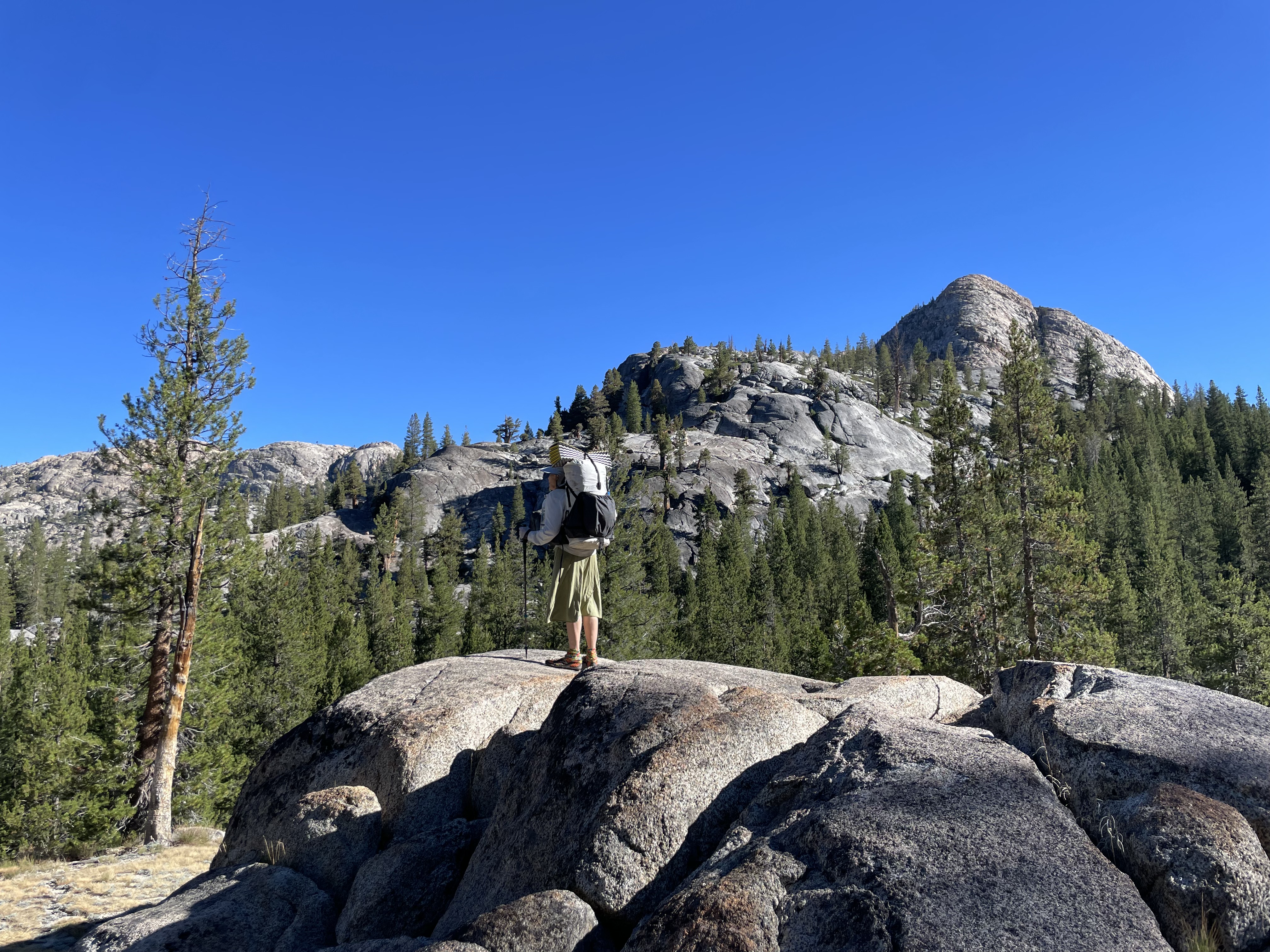
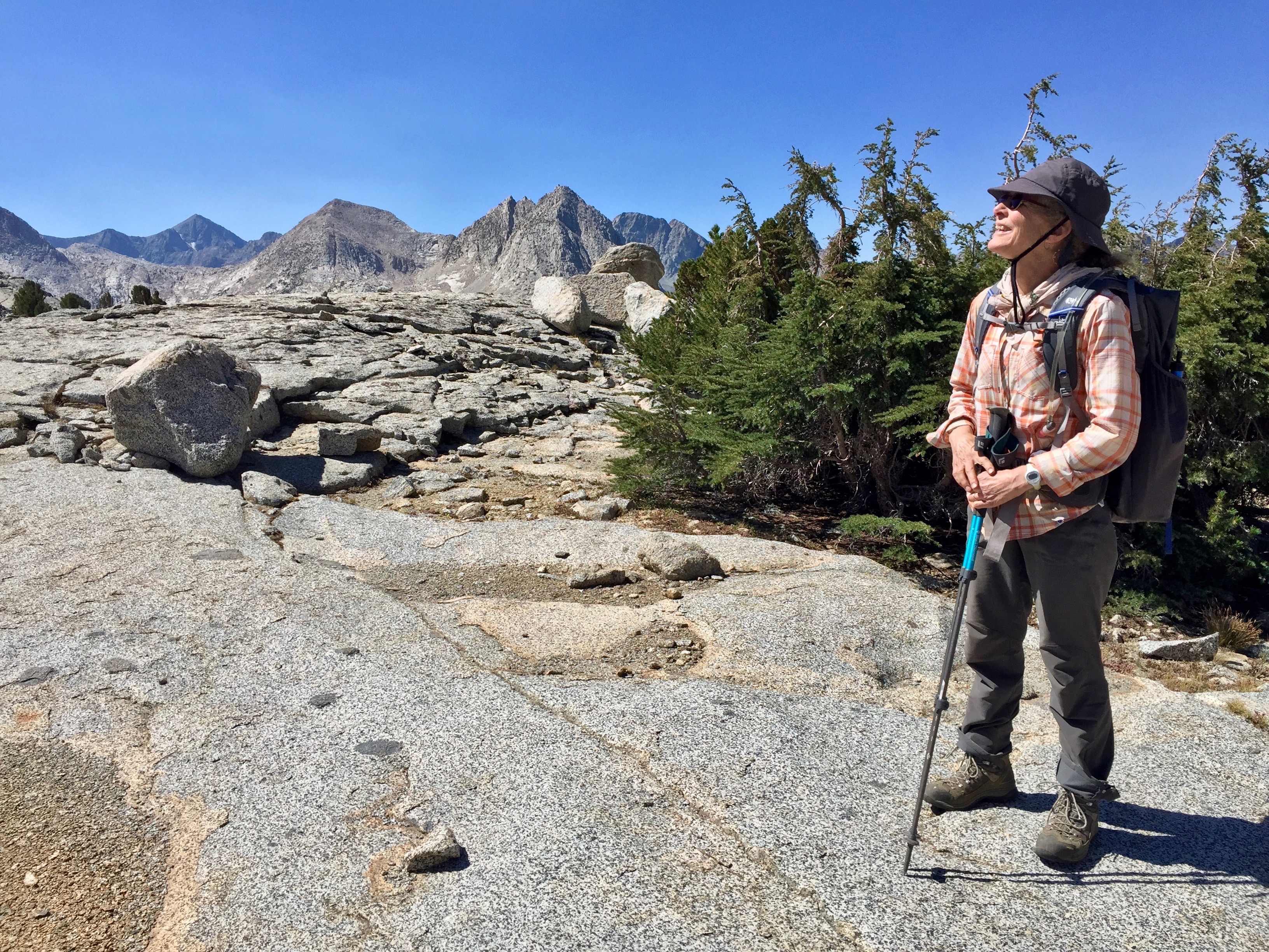
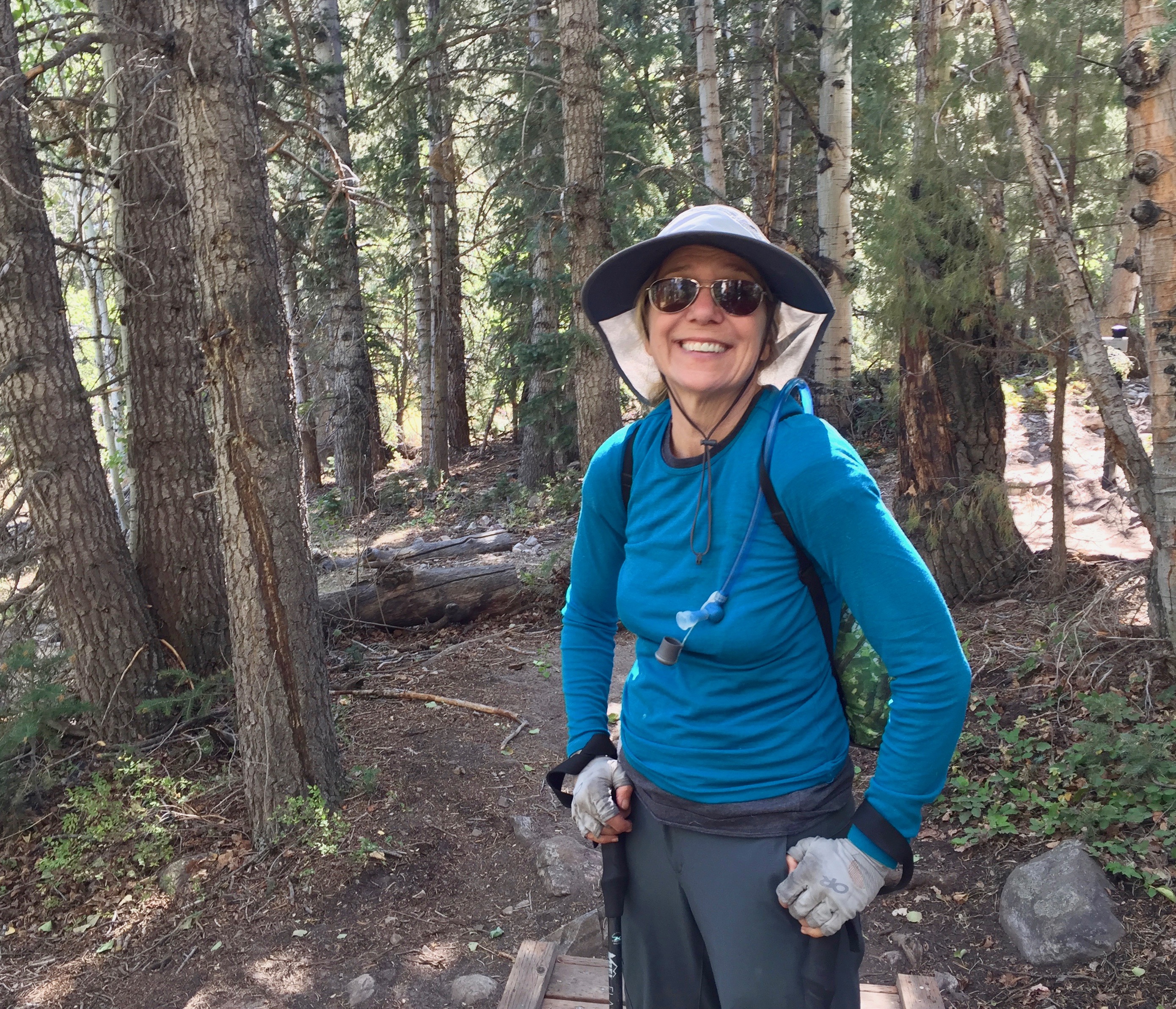
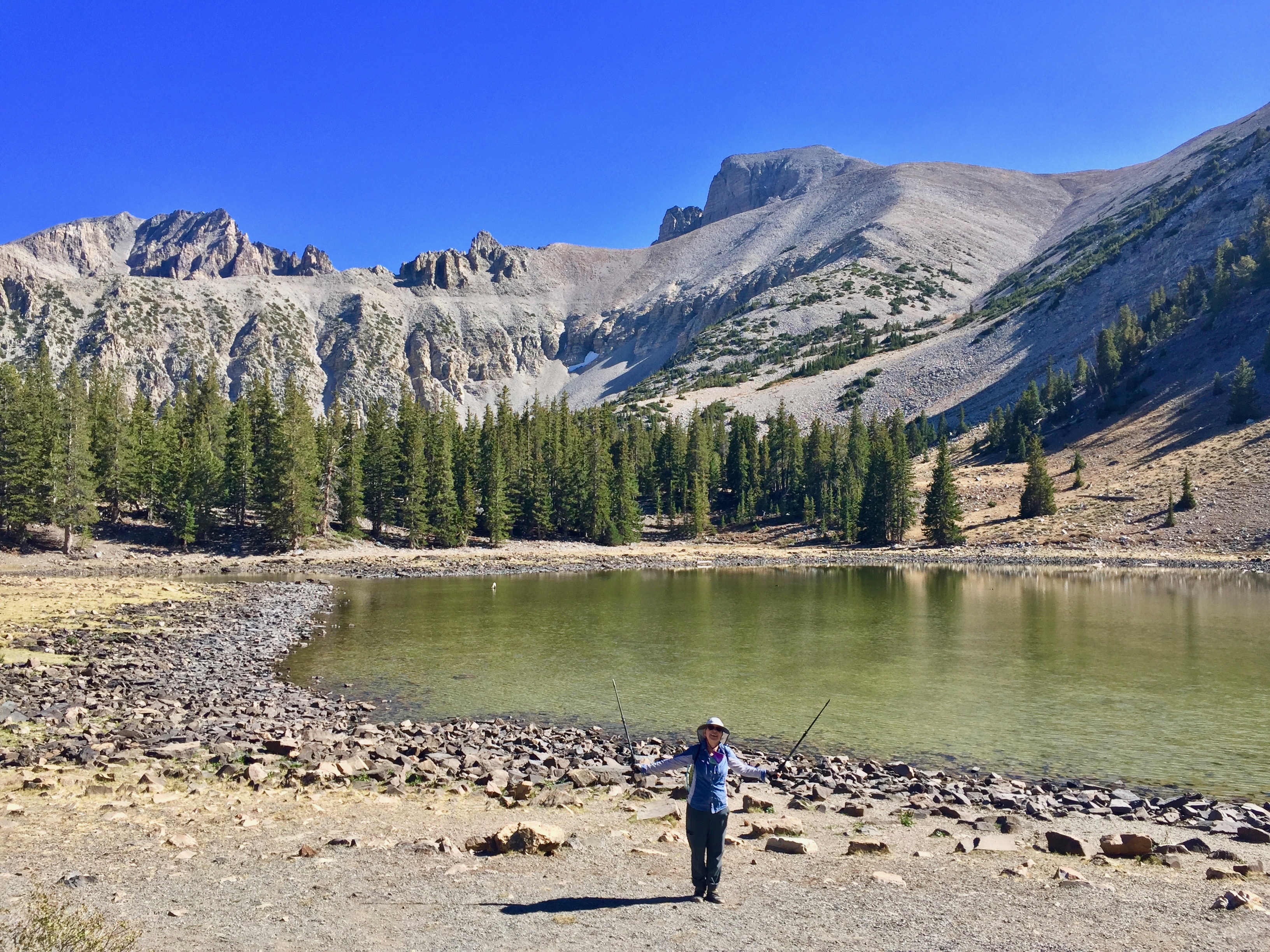
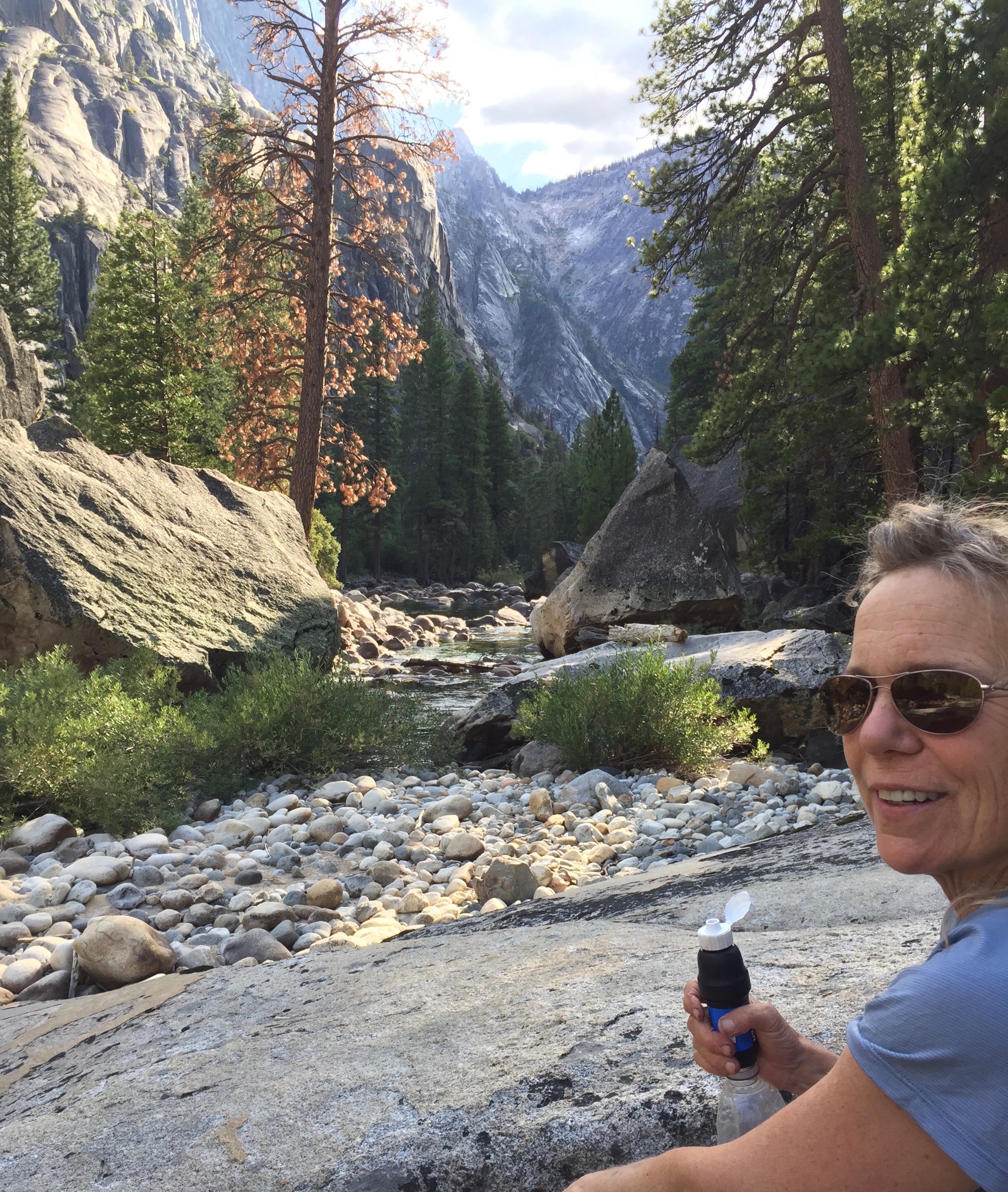
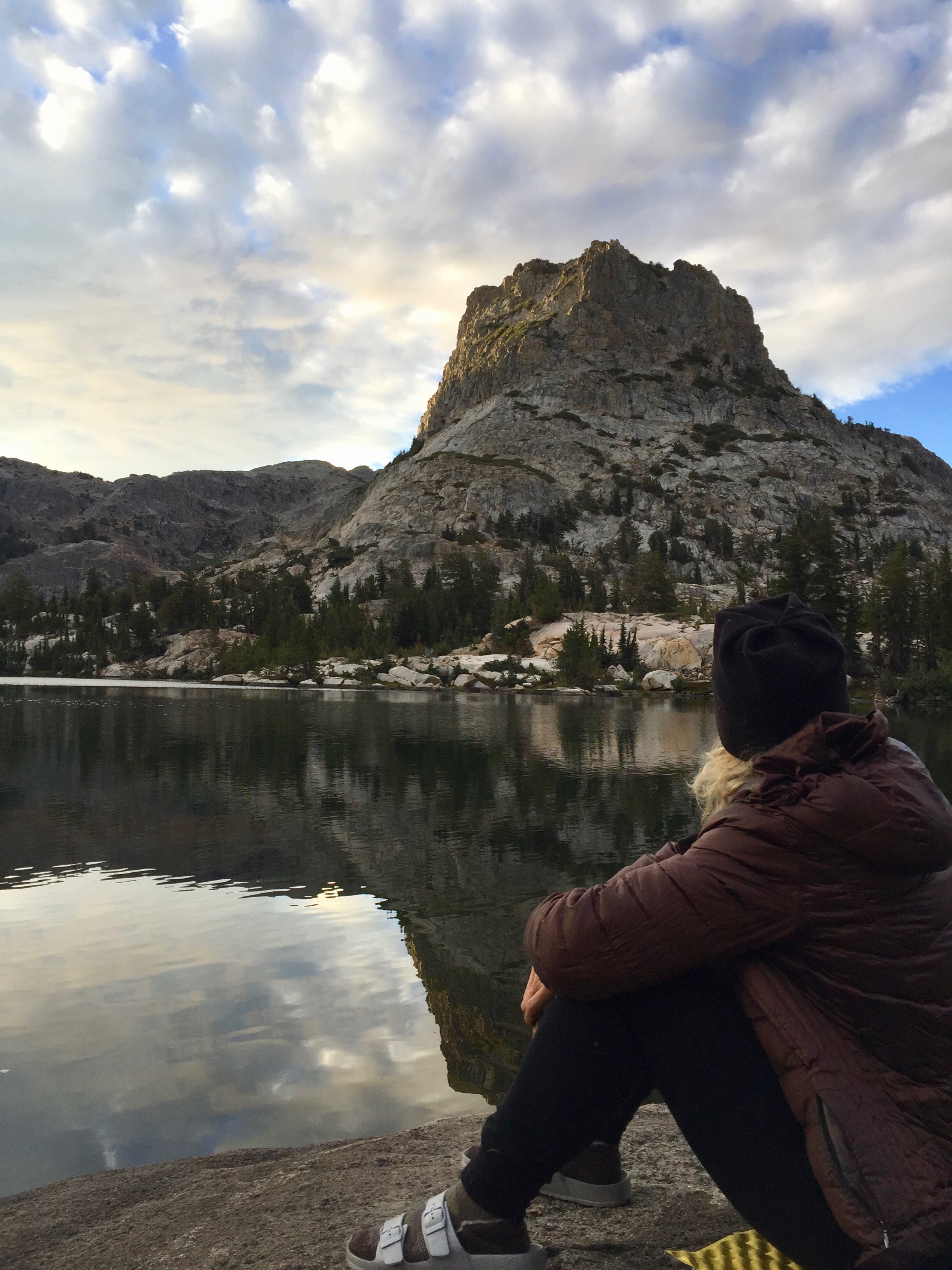
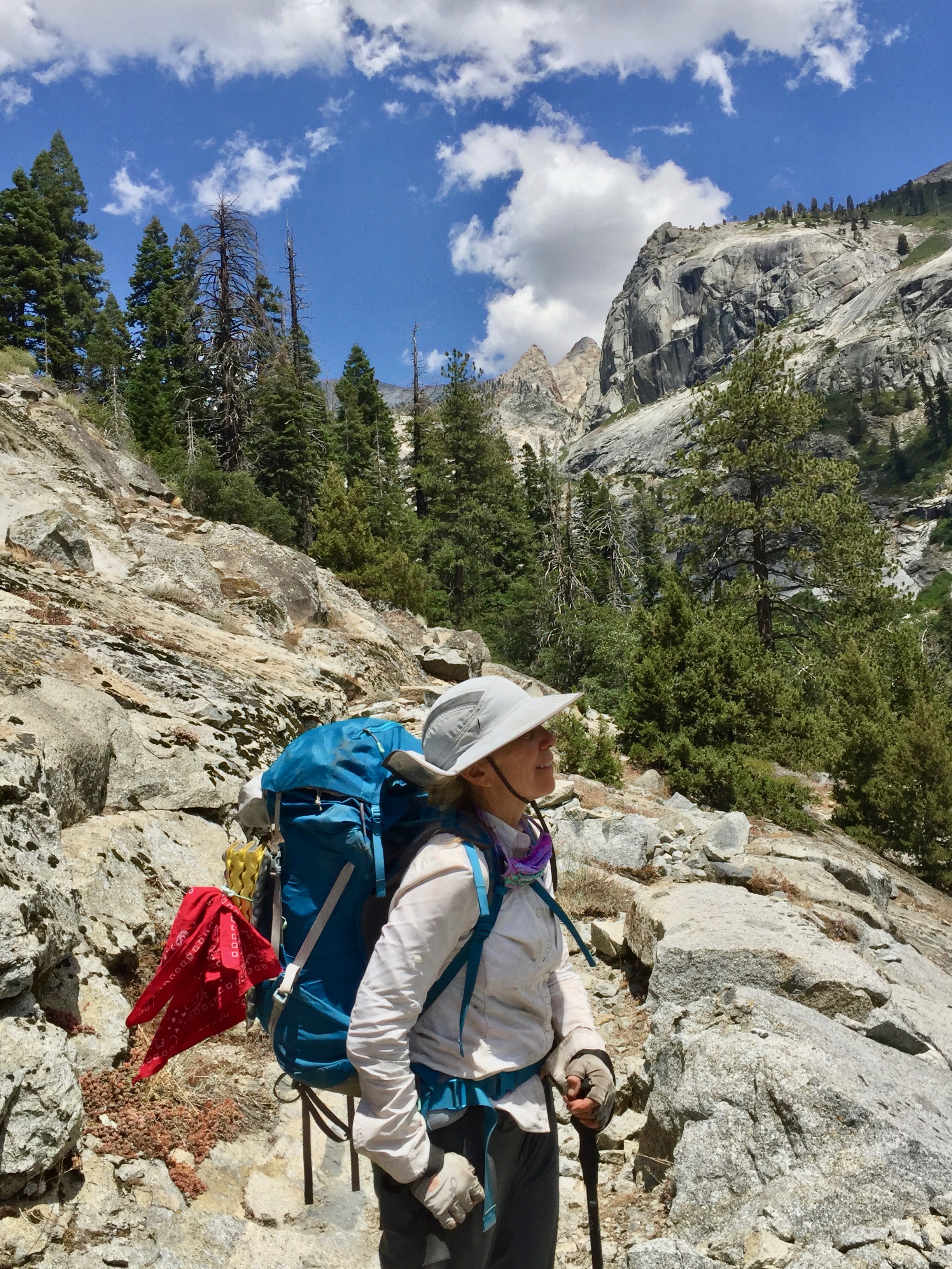
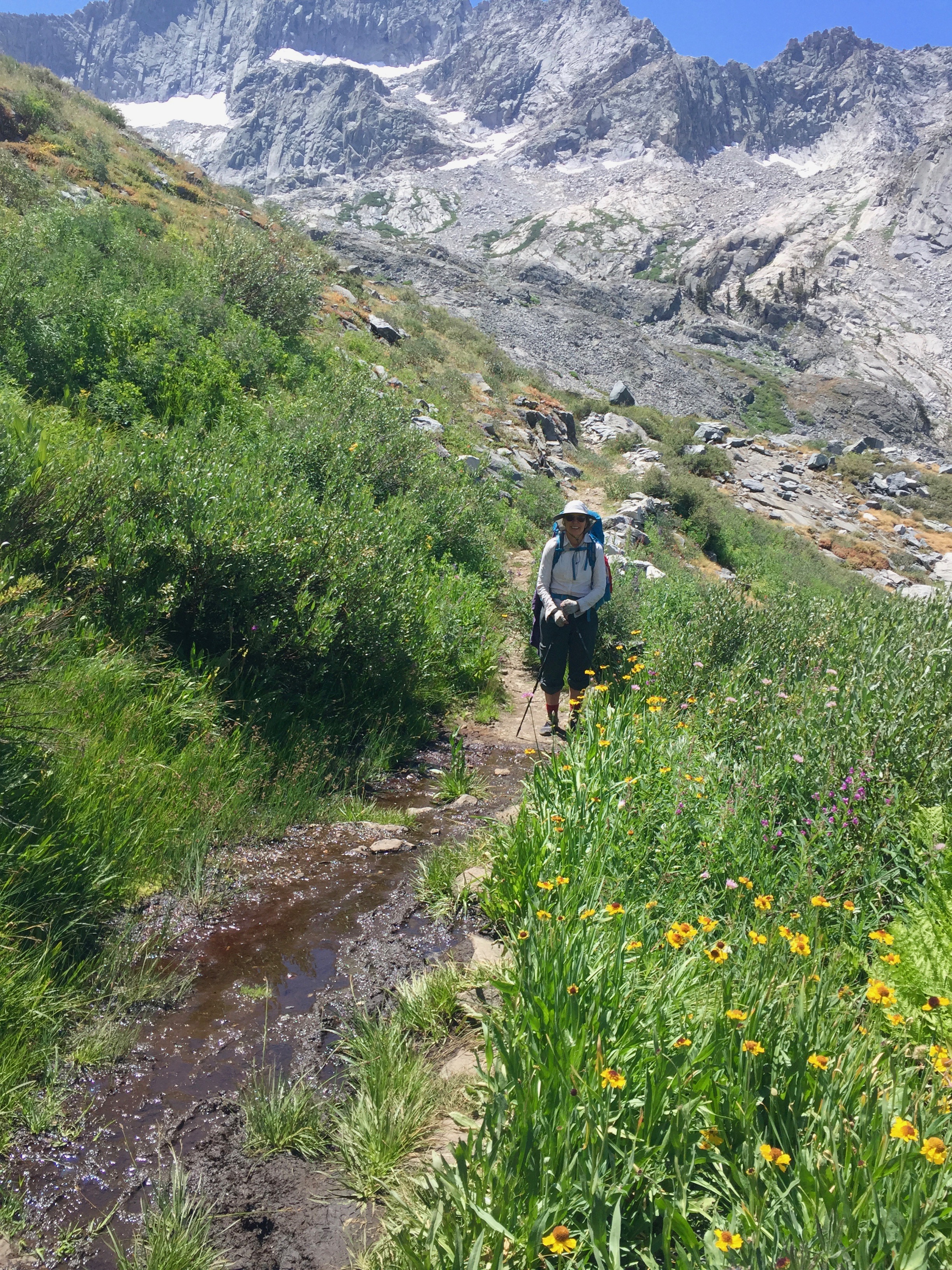
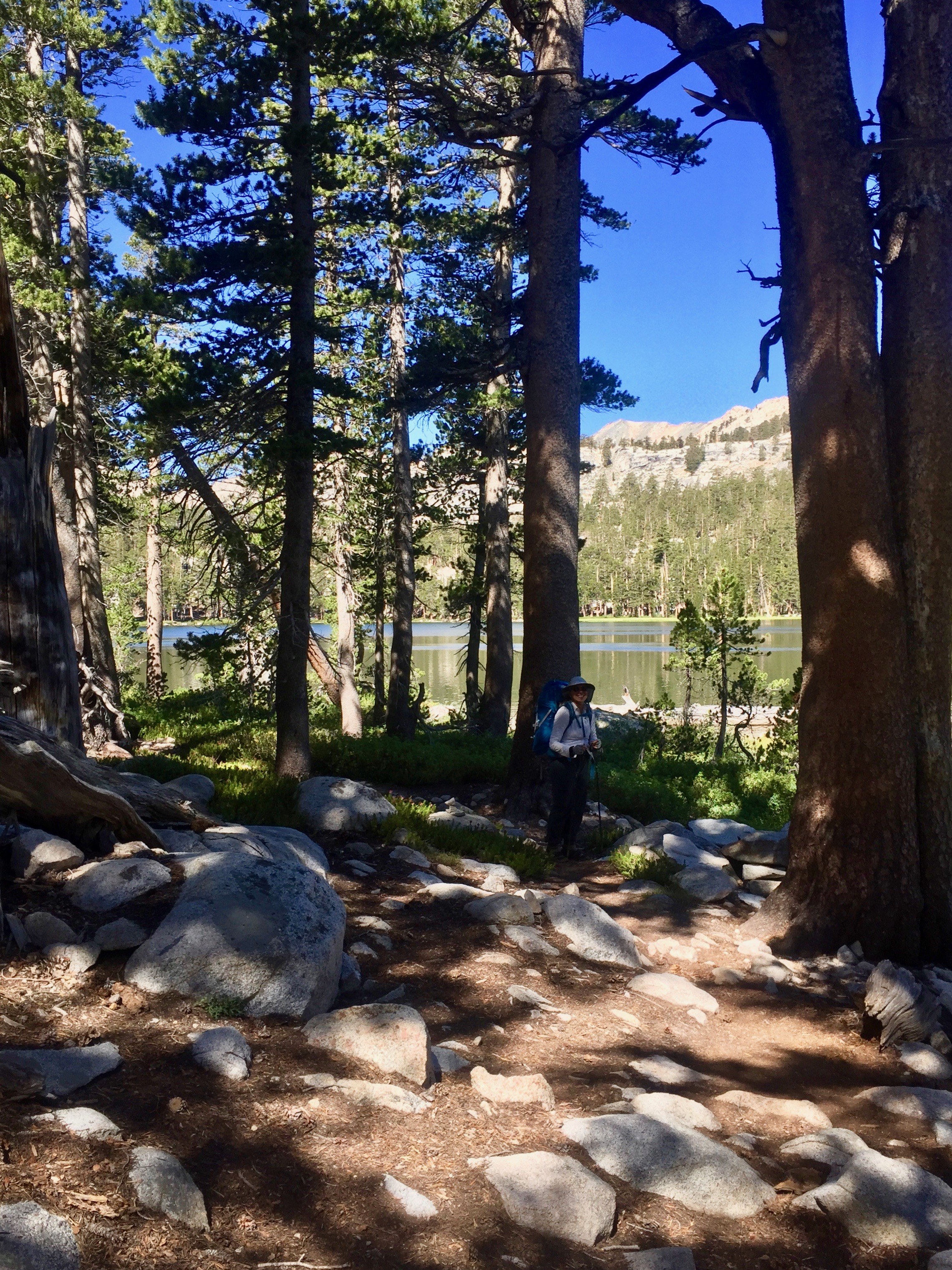
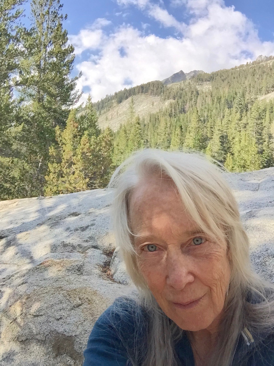
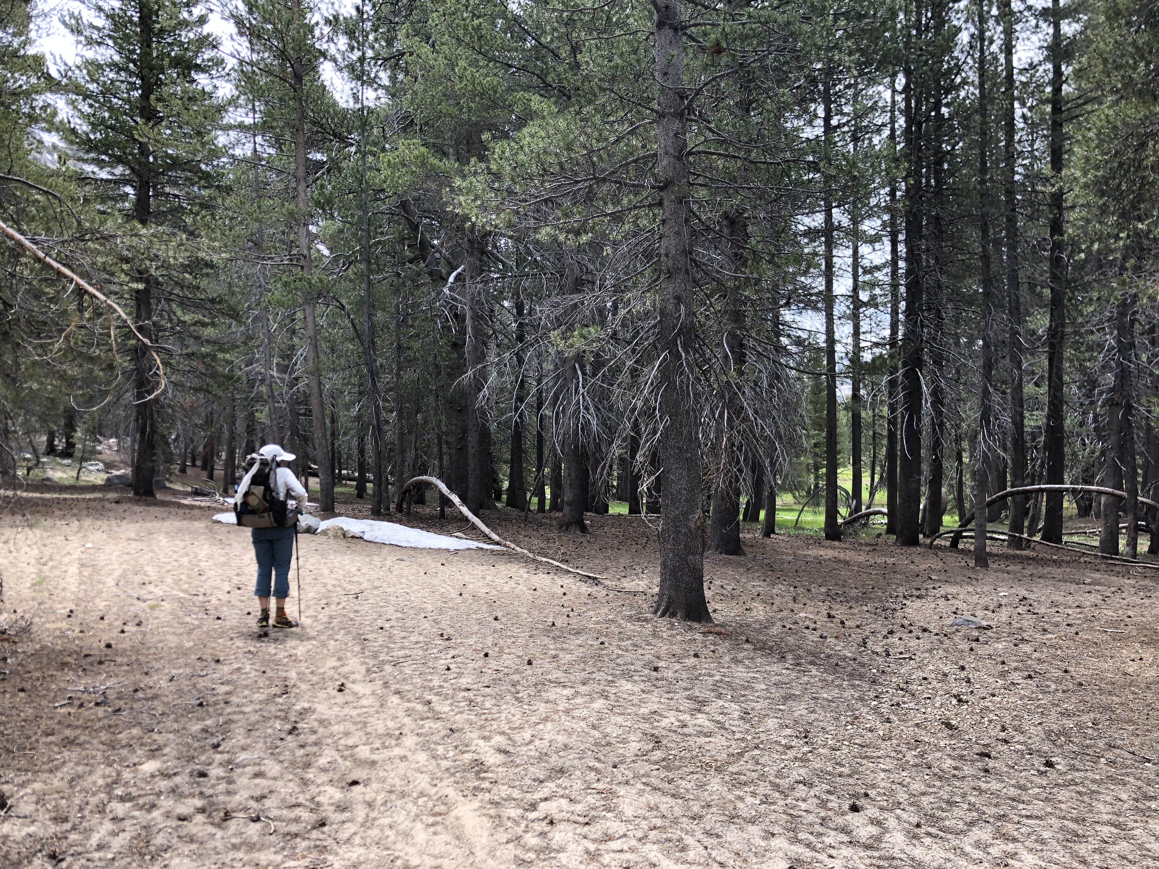
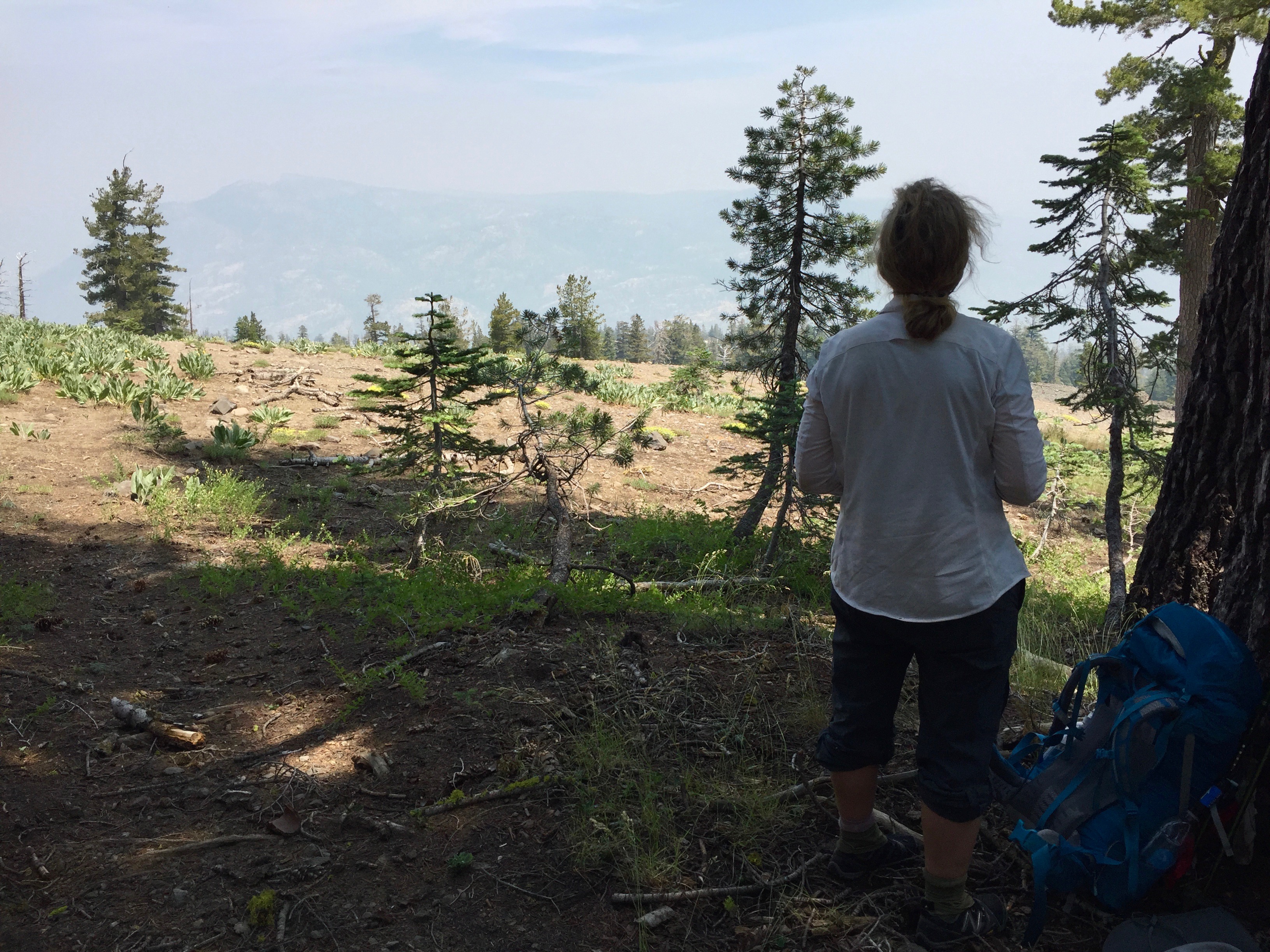
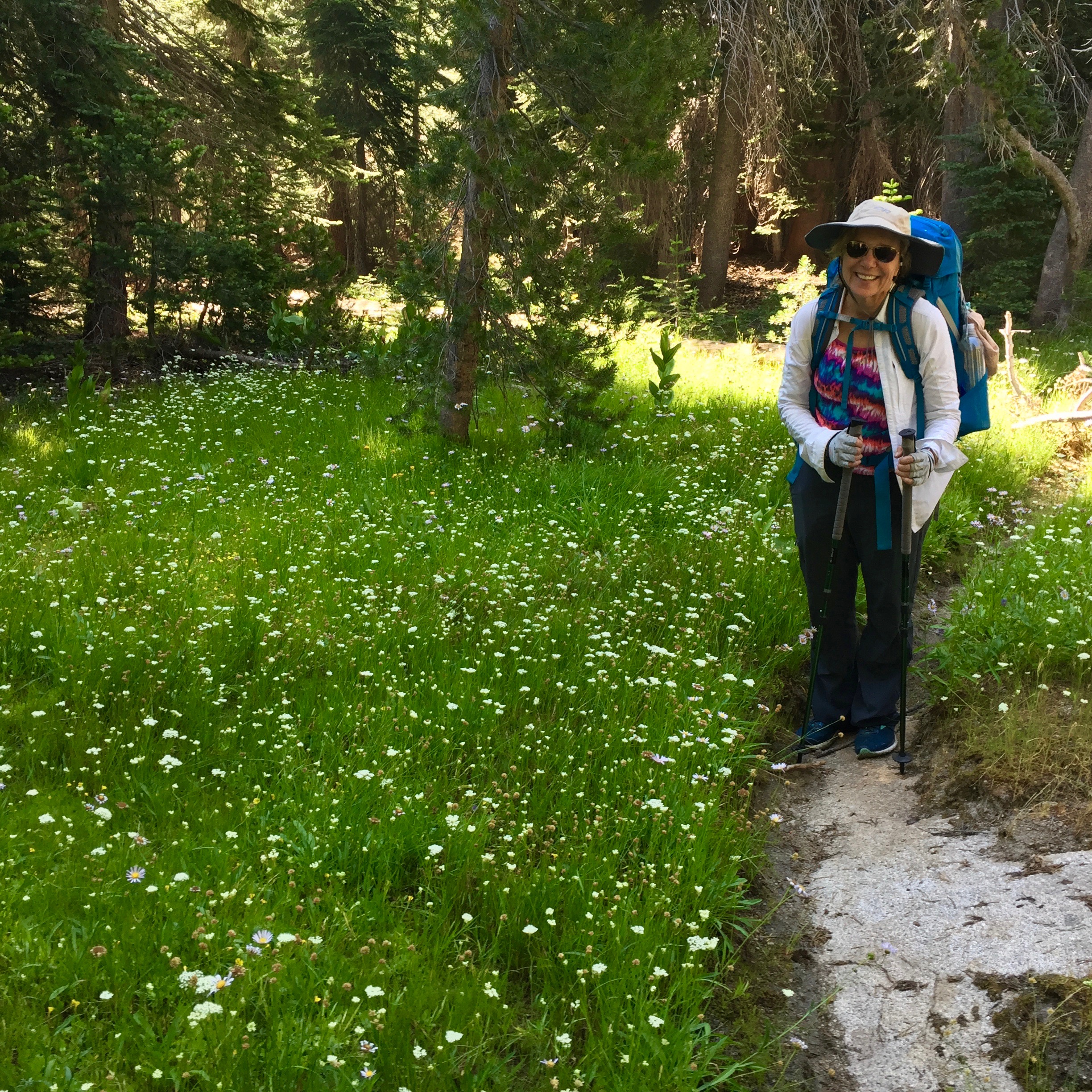
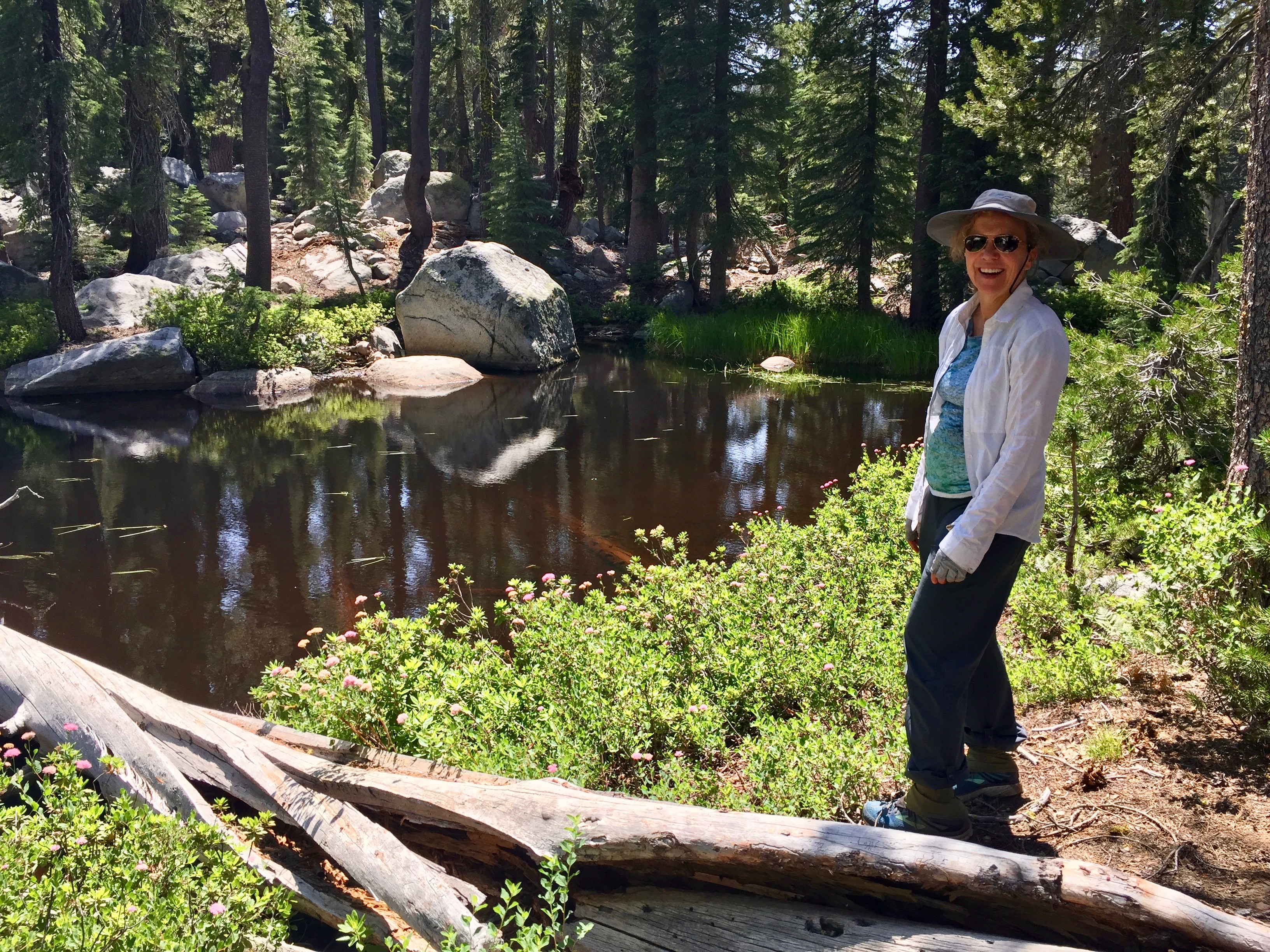
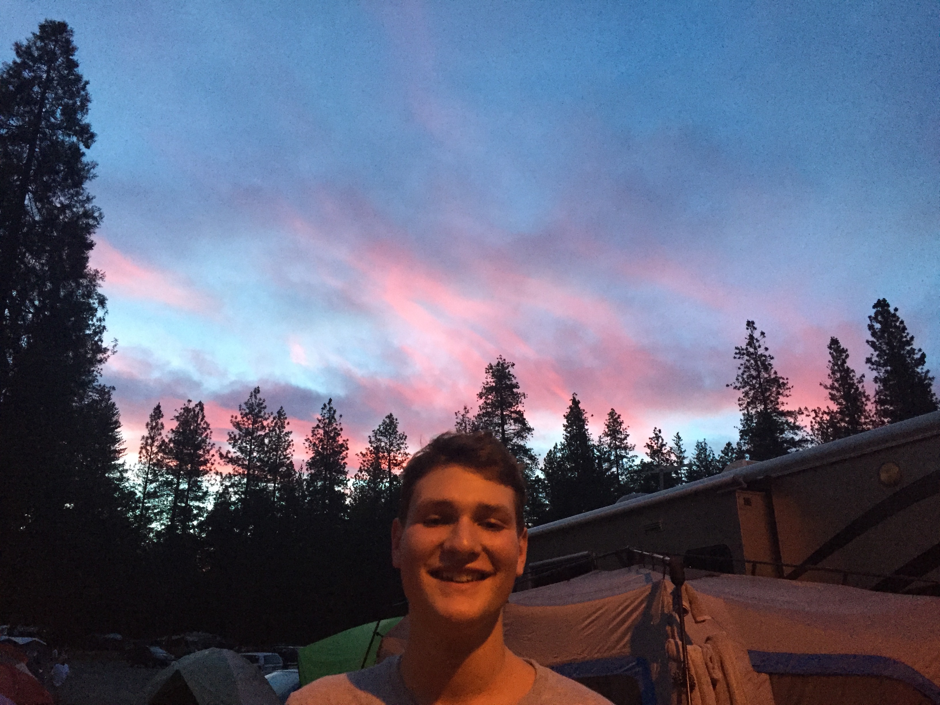
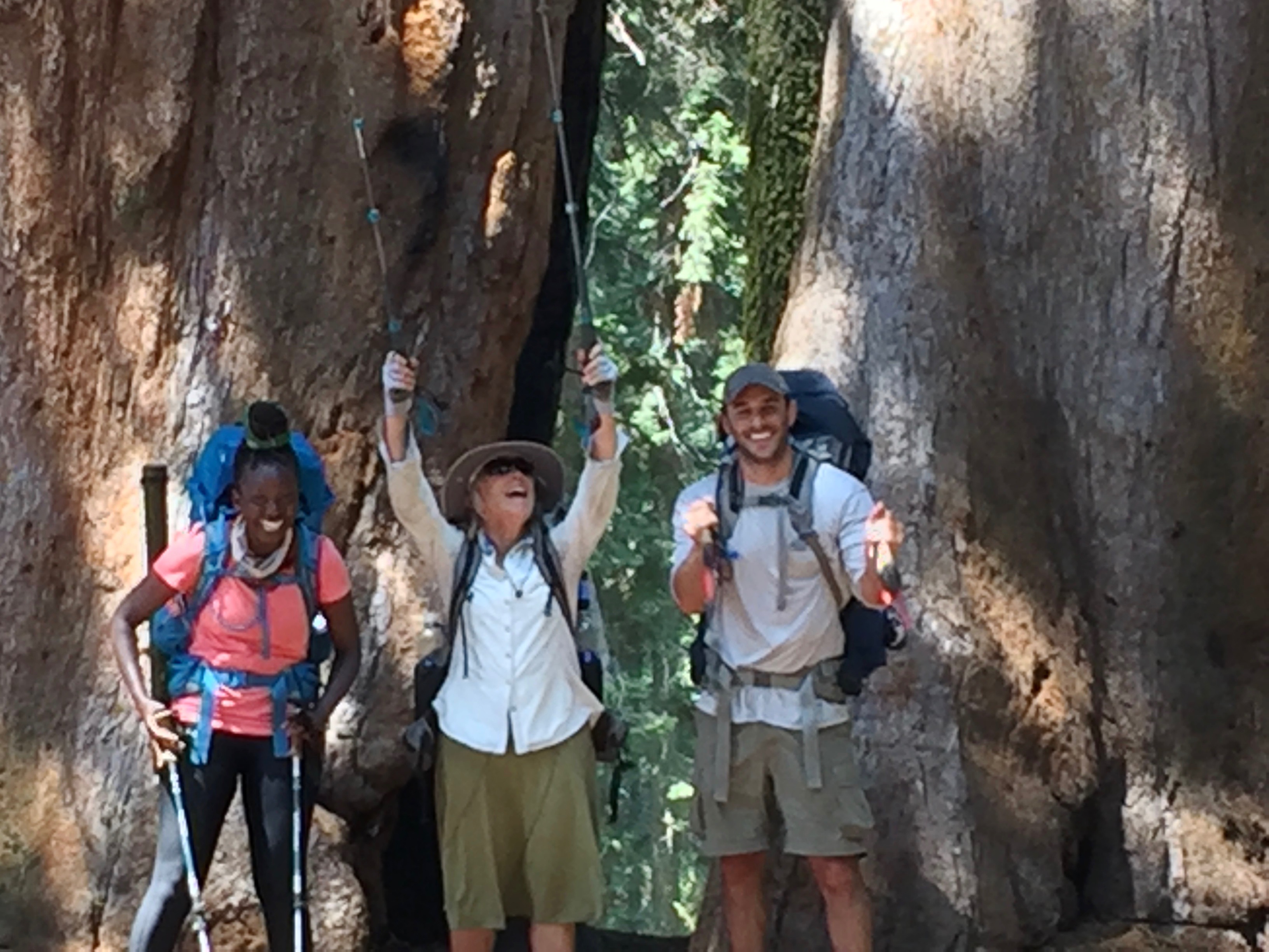
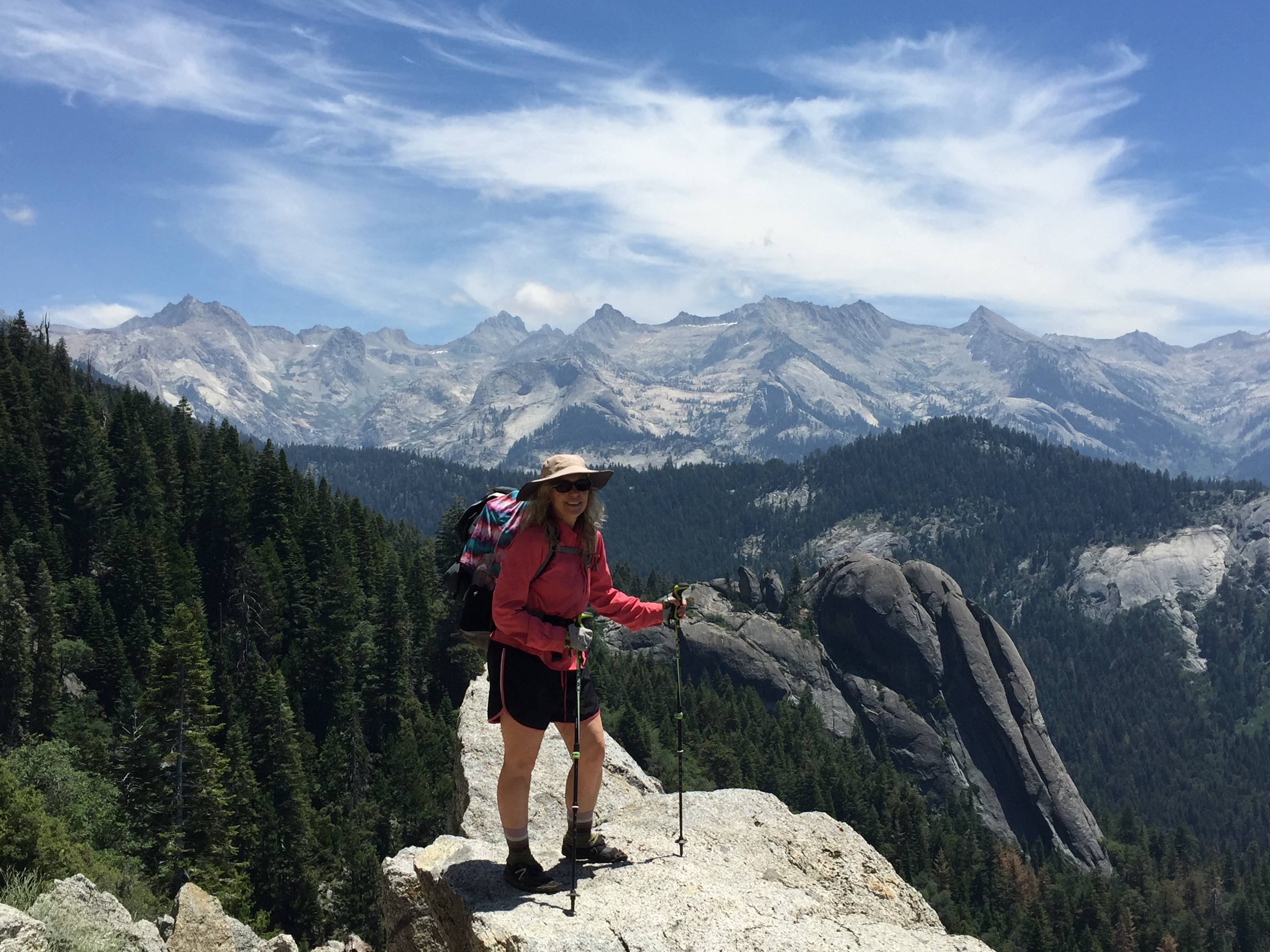
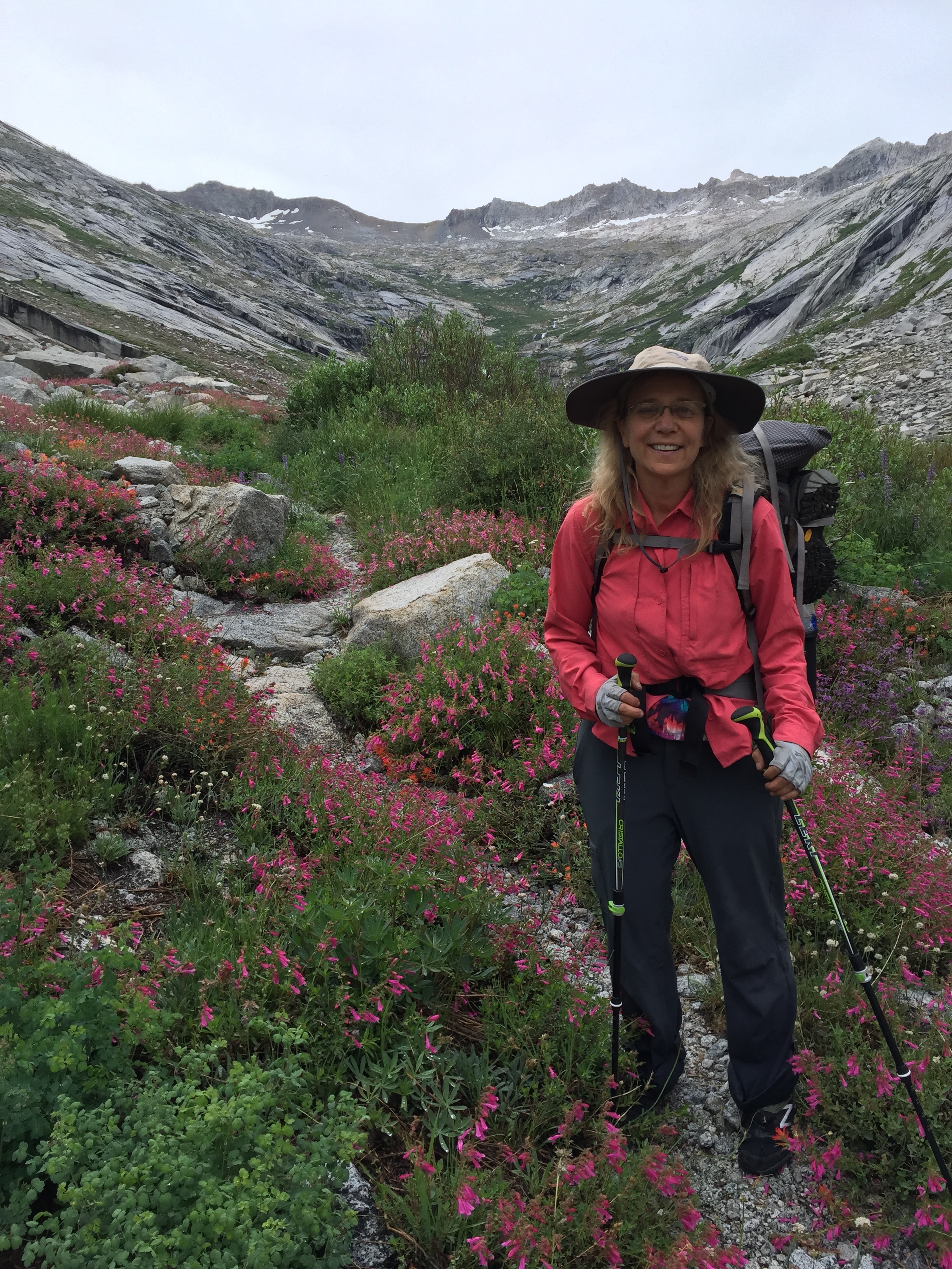
Betty is ready to climb.
I didn’t write a journal entry for this day, so everything I write here is from memory, which is still very vivid. We’ll see if we can get the important stuff down.
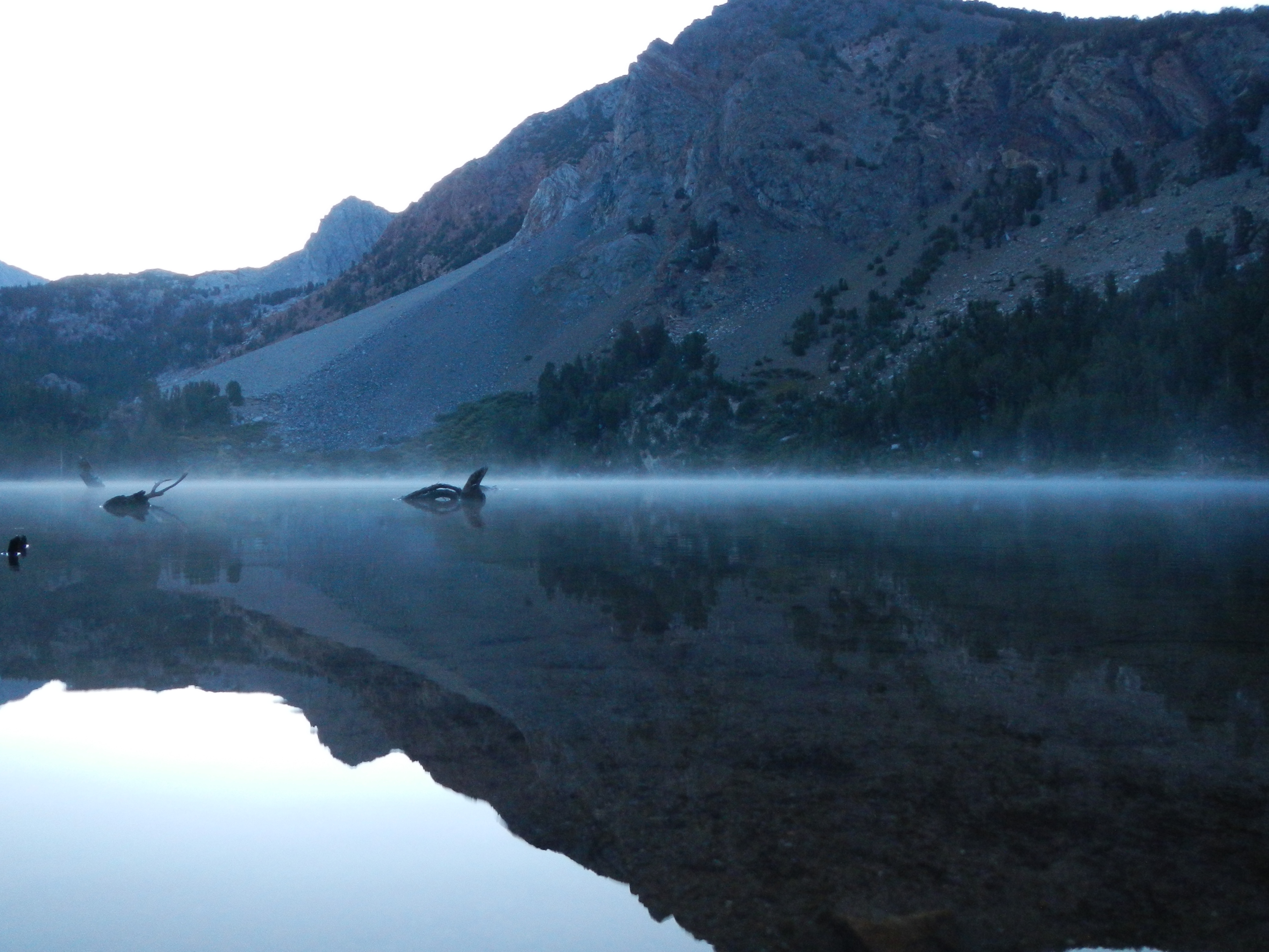
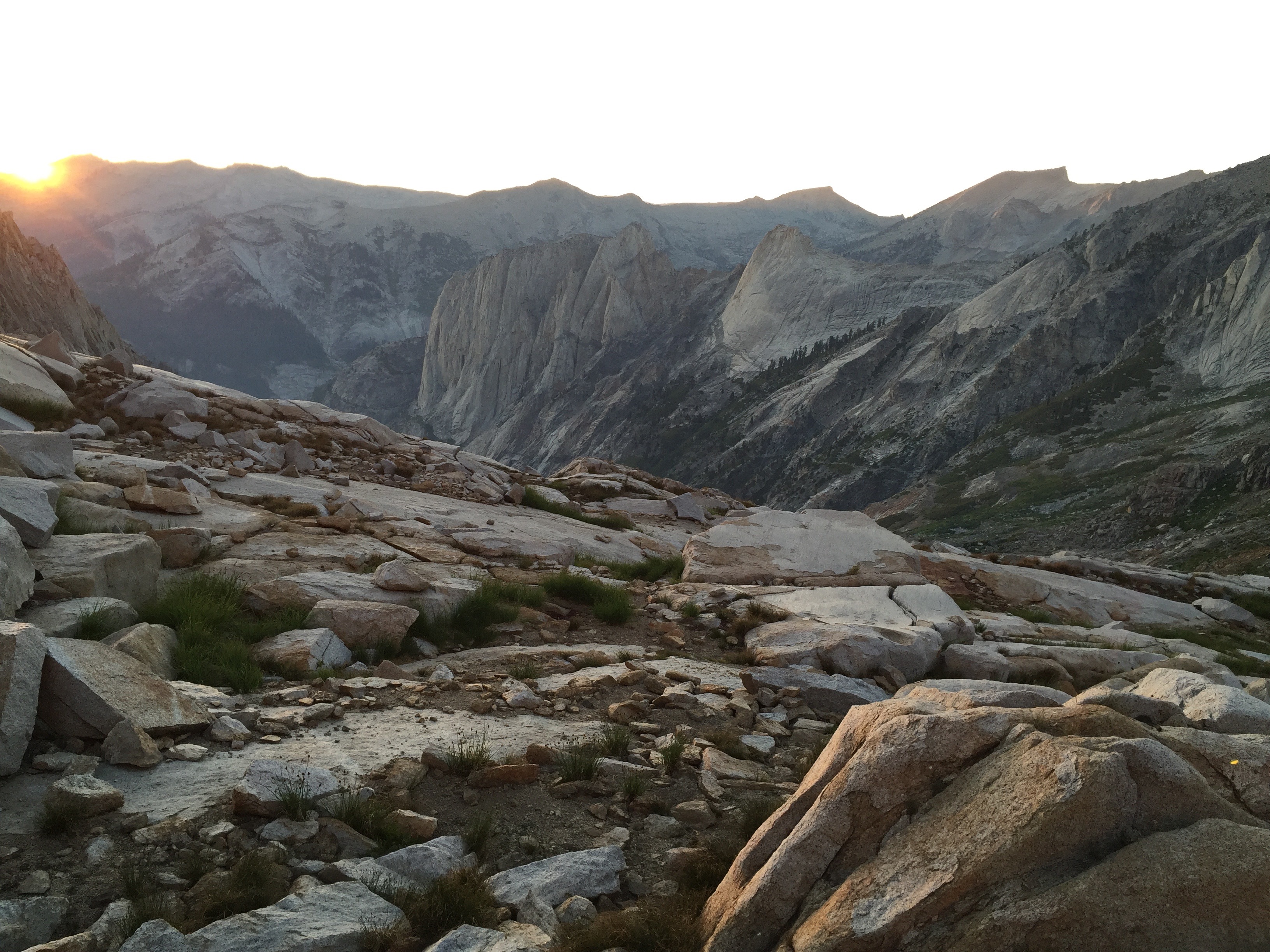
I was awakened sometime in the middle of the night by a flashlight beam raking across my tent. Apparently, many hikers start the ascent up Whitney in time to see sunrise from the summit. That means leaving Guitar Lake by about 3:00 AM. Betty and I opted not to do that. But looking out my tent, it’s a pretty neat sight, seeing small points of light spread out all along the switchbacks ahead of us. They look like stars that lost their way and fell to the ground, moving very, very slowly up the mountain. Seeing all this activity made it difficult to go back to sleep, but I managed for a couple more hours. Then I woke up Betty and we started getting ready for the ascent. First, breakfast. I had my absolute worst meal of the trip, quite by accident. Betty had brought some sort of broccoli cheese thing (just add hot water), which I thought might be good. I had tried this at home pre-trip, and it was pretty tasty. So I decided that I would add a little oatmeal to it to give it more body. Unfortunately, I didn’t notice that the oatmeal was one of those horrible, way-too-sweet mixes. the combination of the salty cheese/broccoli and the sweet oatmeal was ghastly! But I ate most of it anyway, because I needed to eat something and there it was. Yuck! Never again!
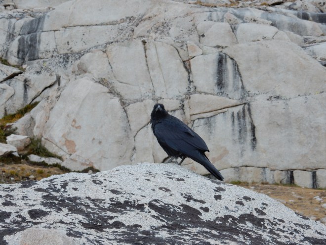
A raven talked to everyone passing by, sending us on our way up the switchbacks. Photo: BW
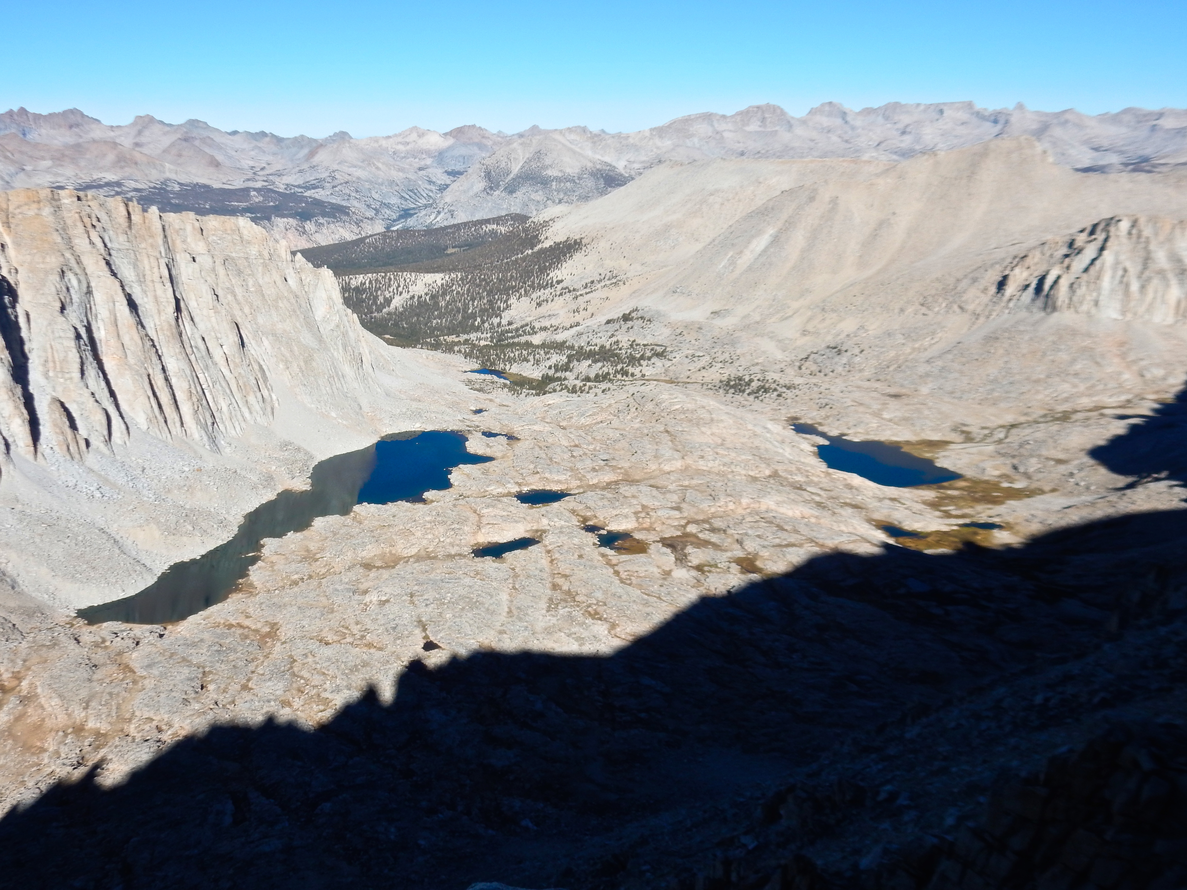
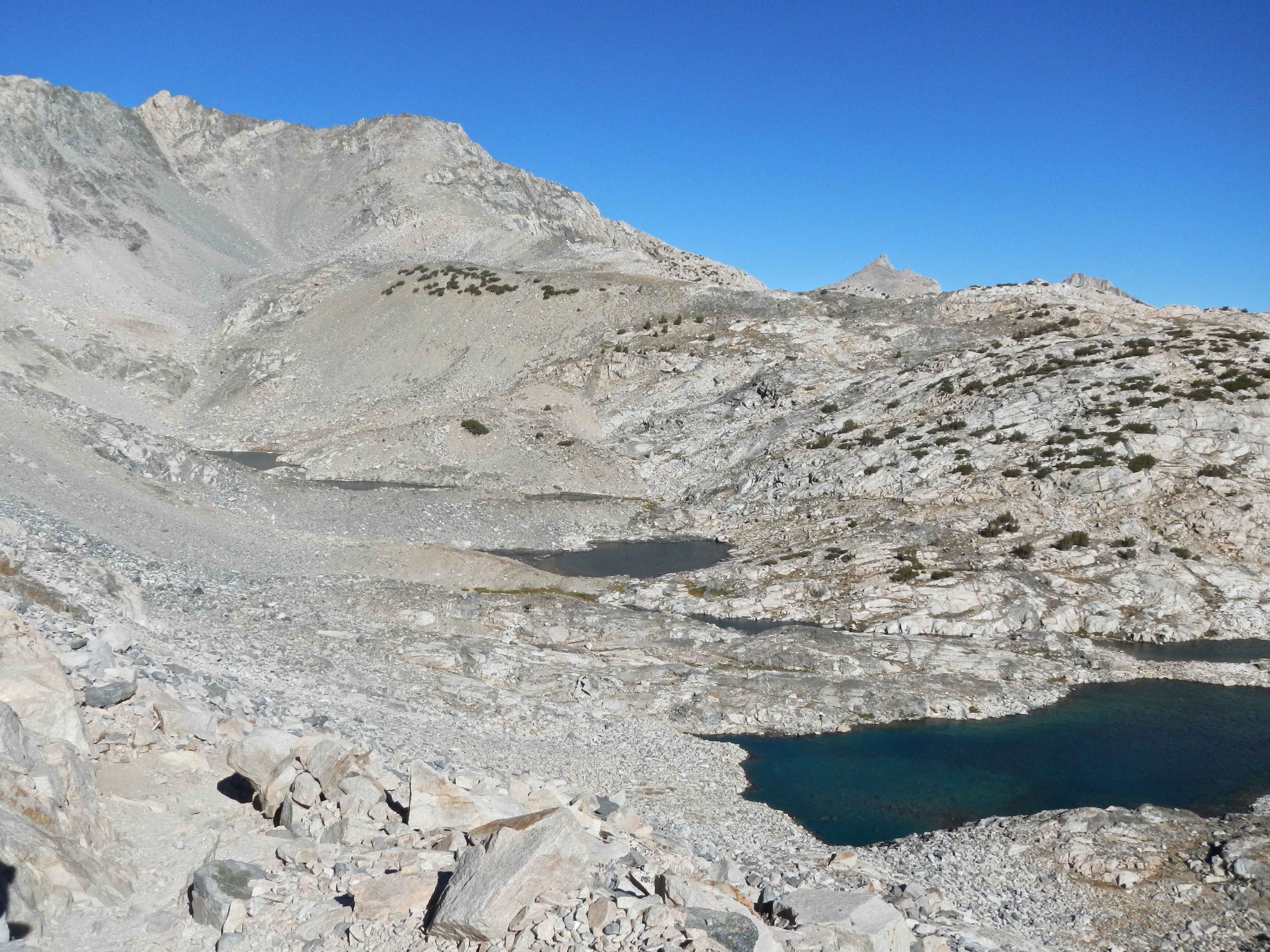
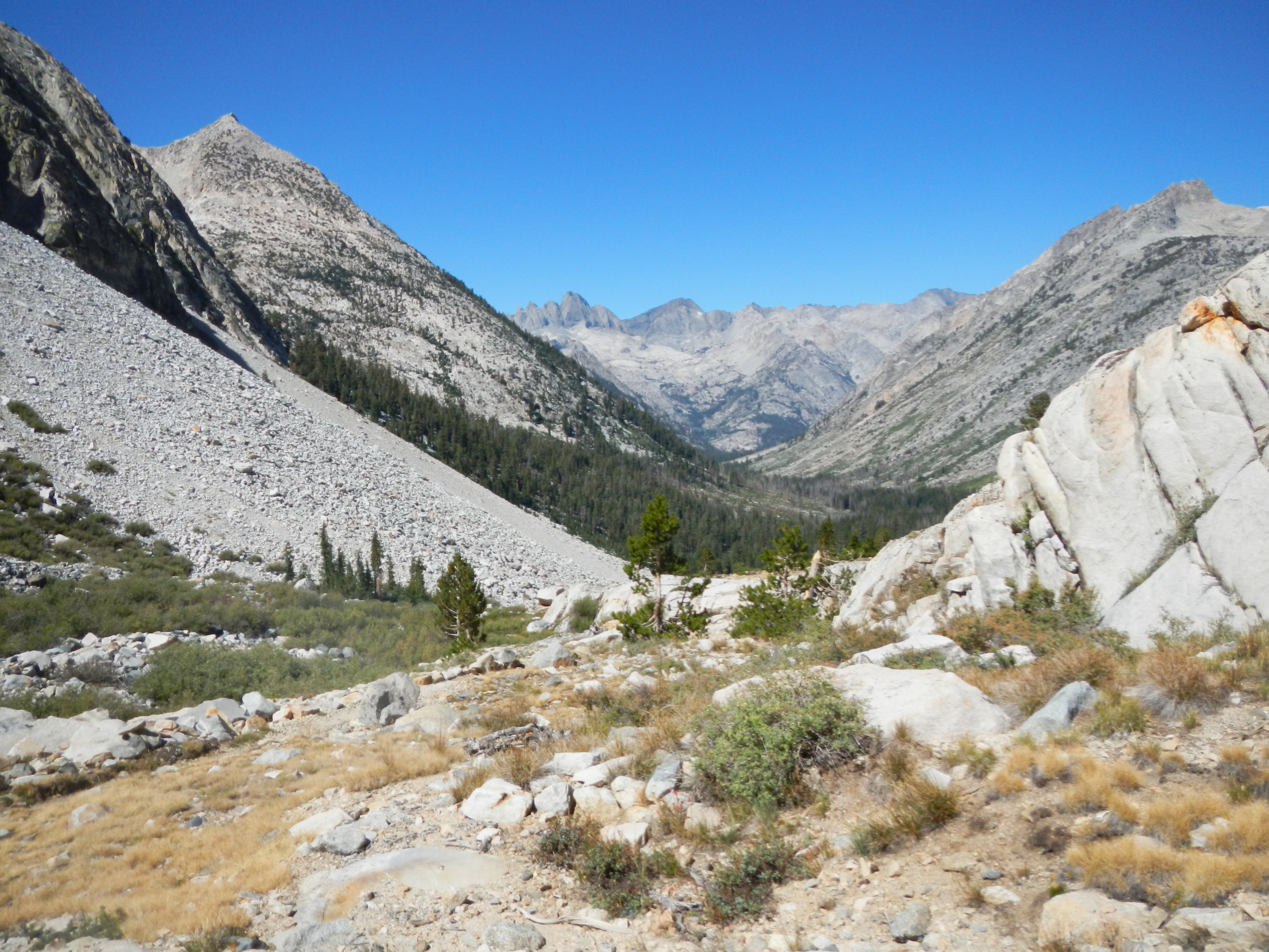
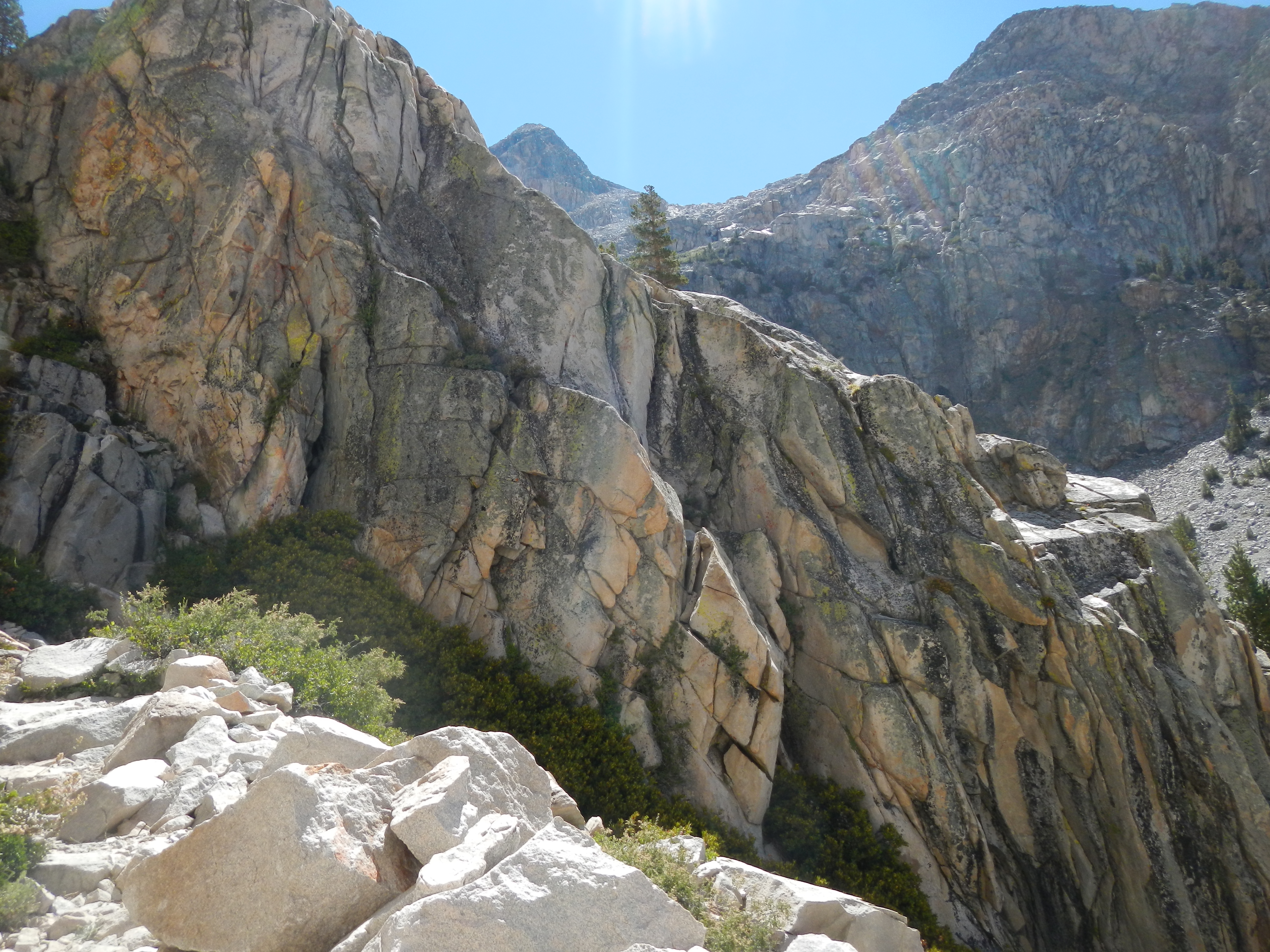
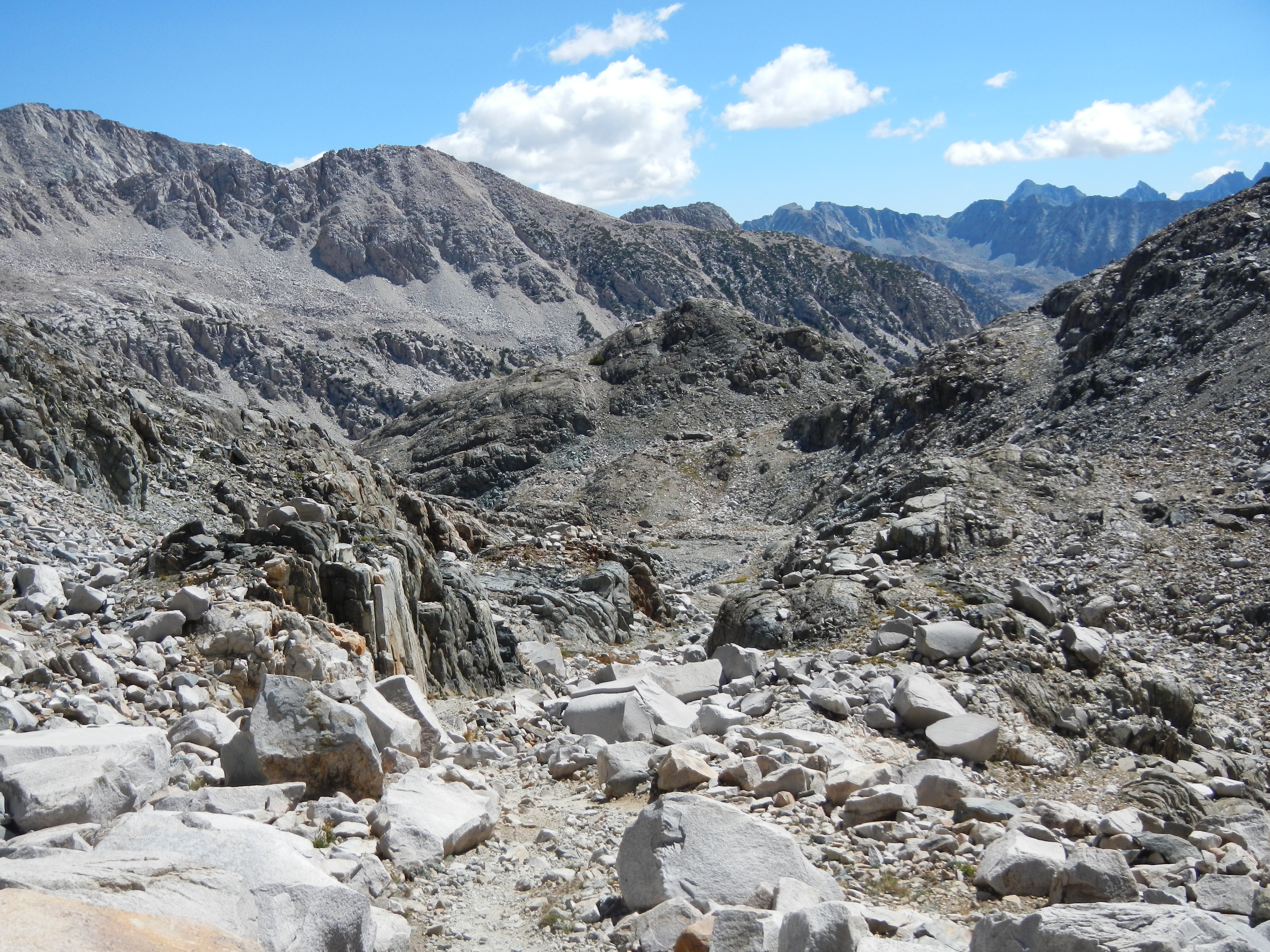
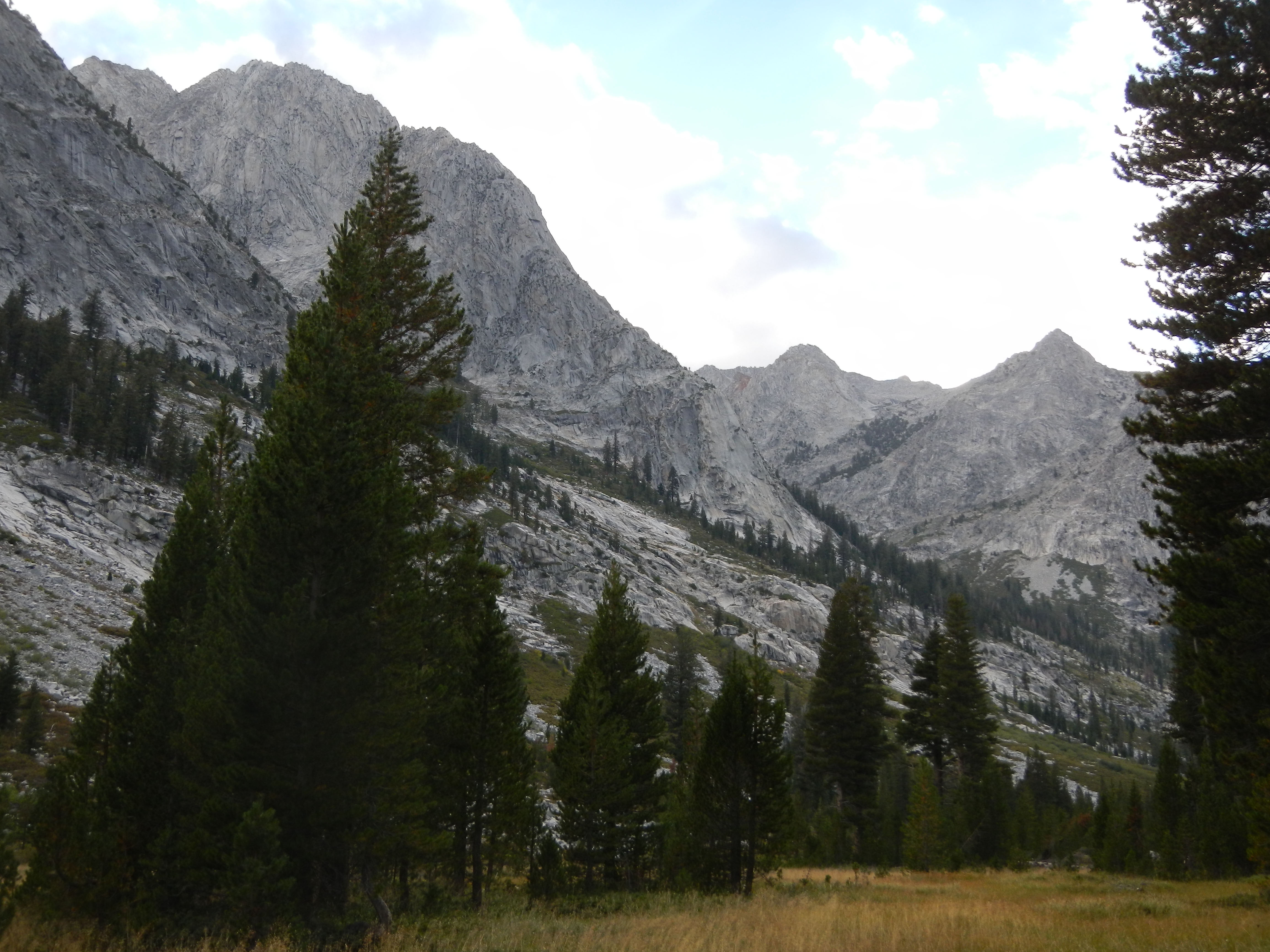
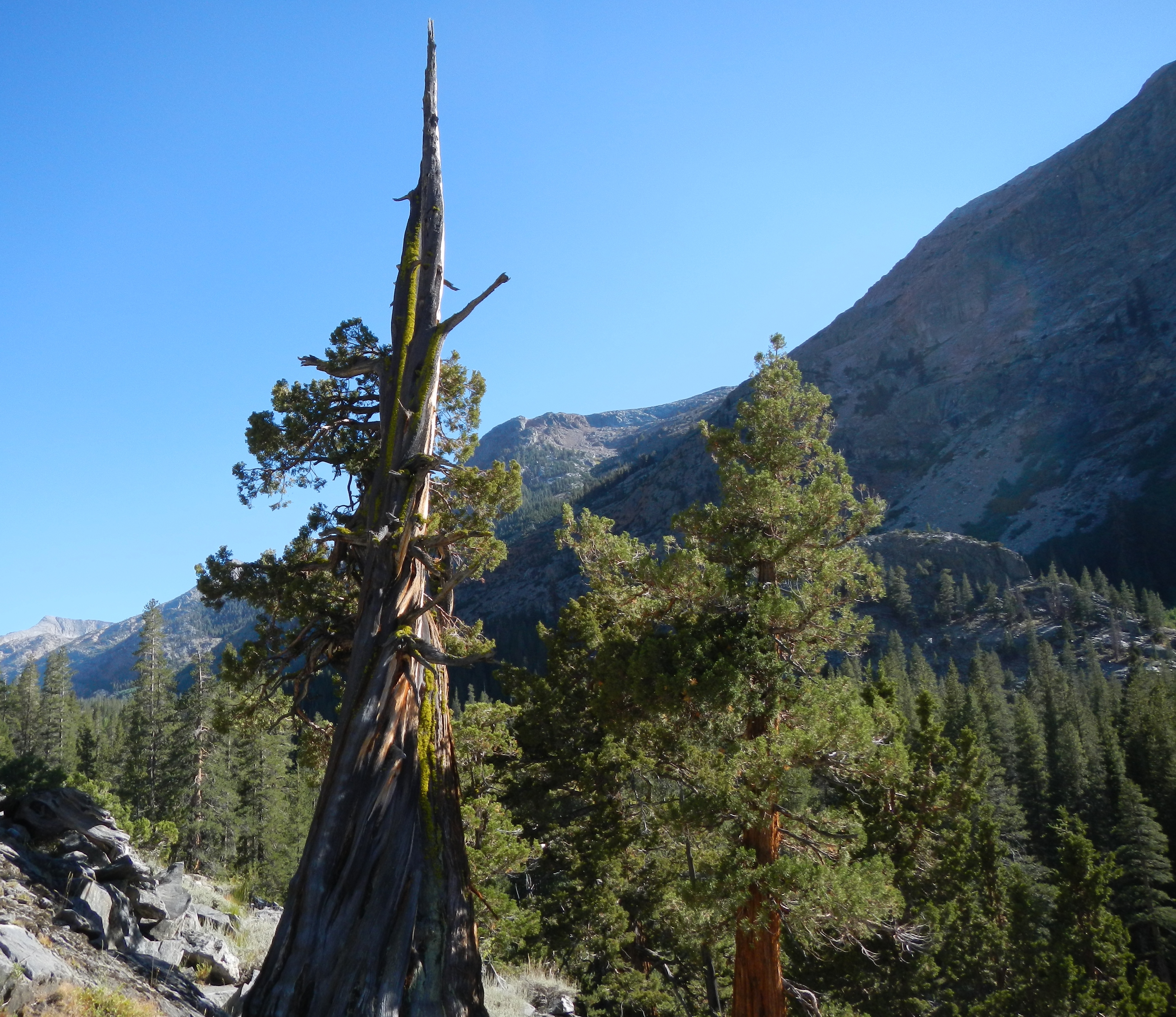
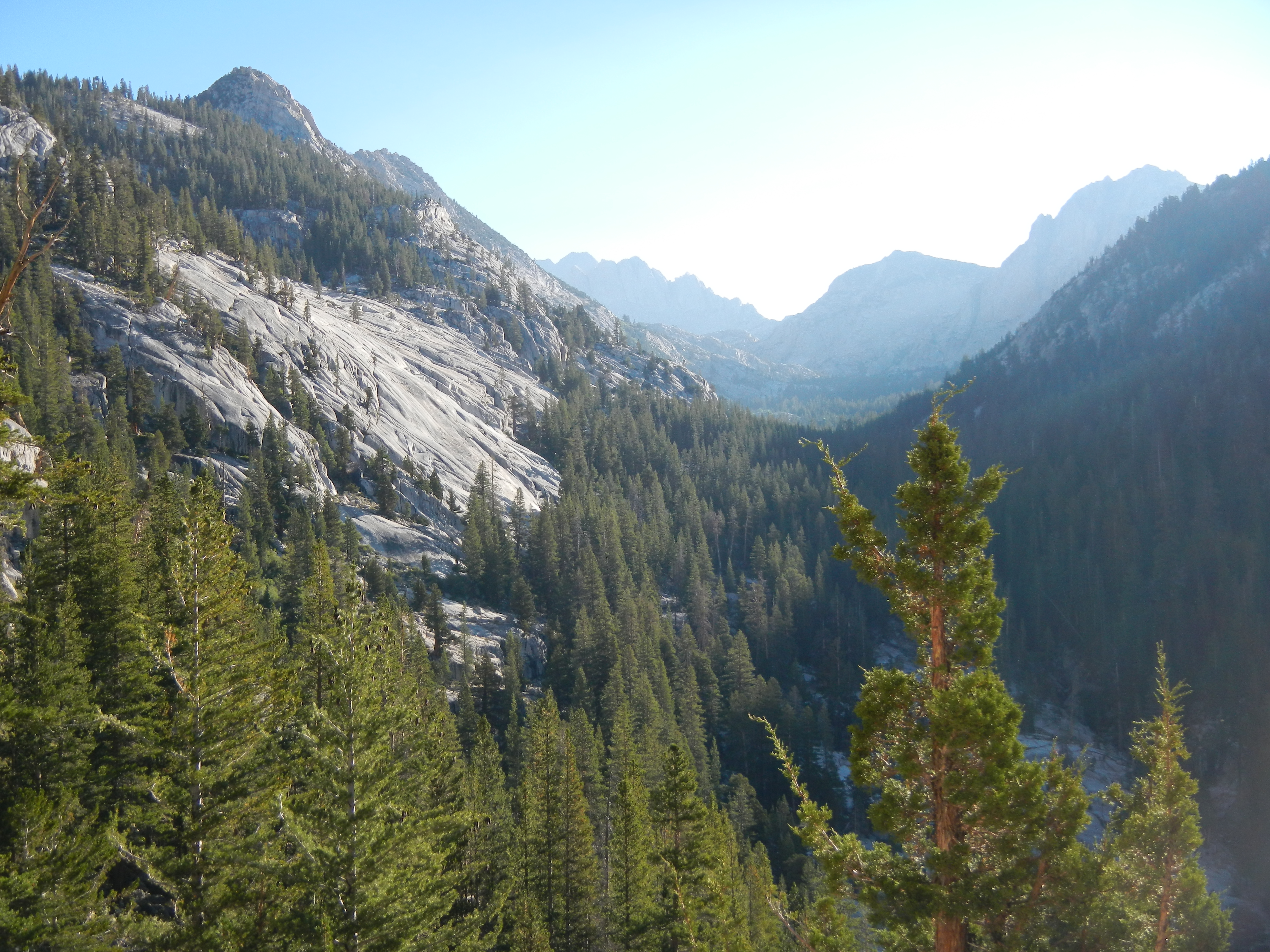
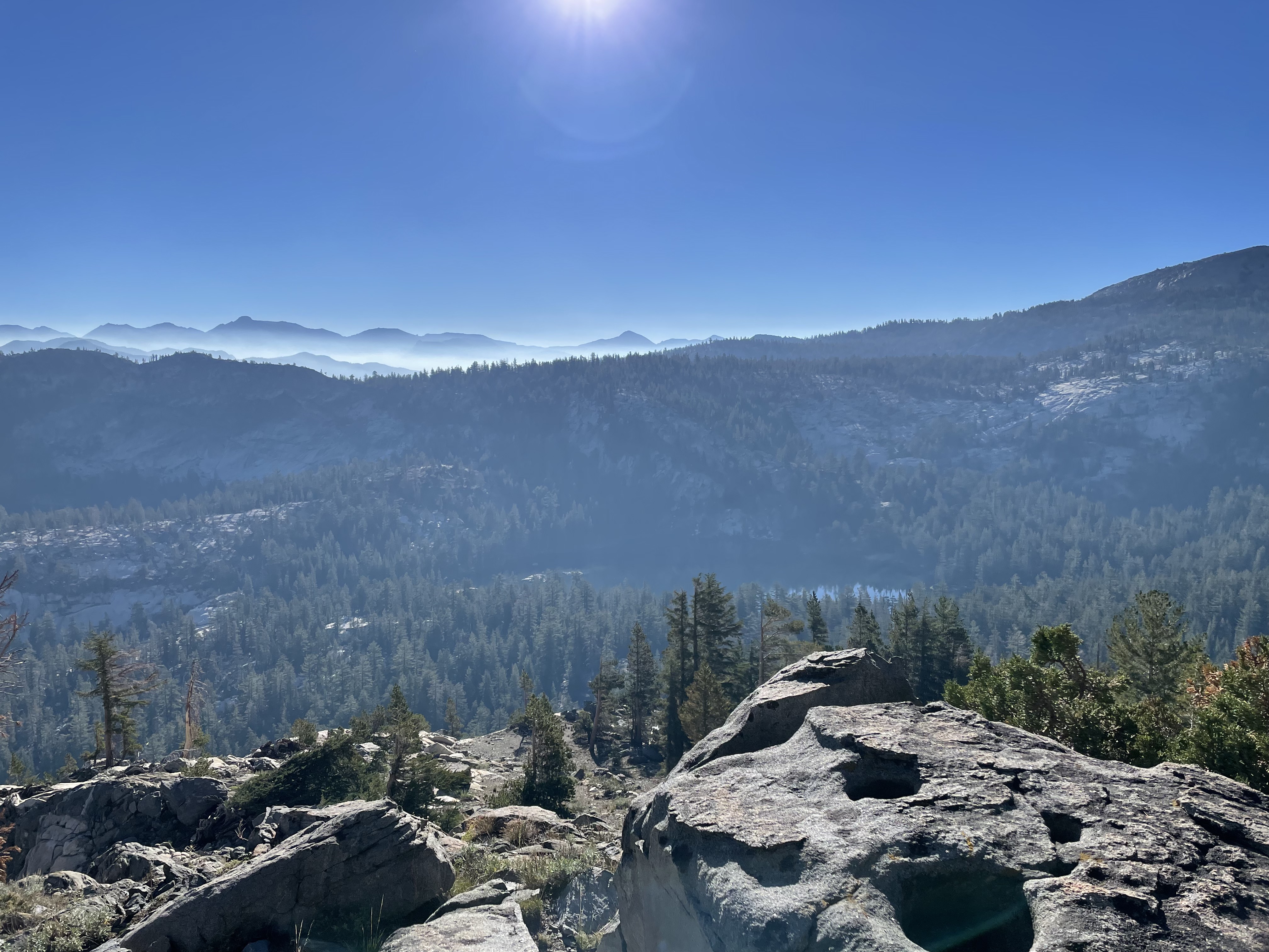
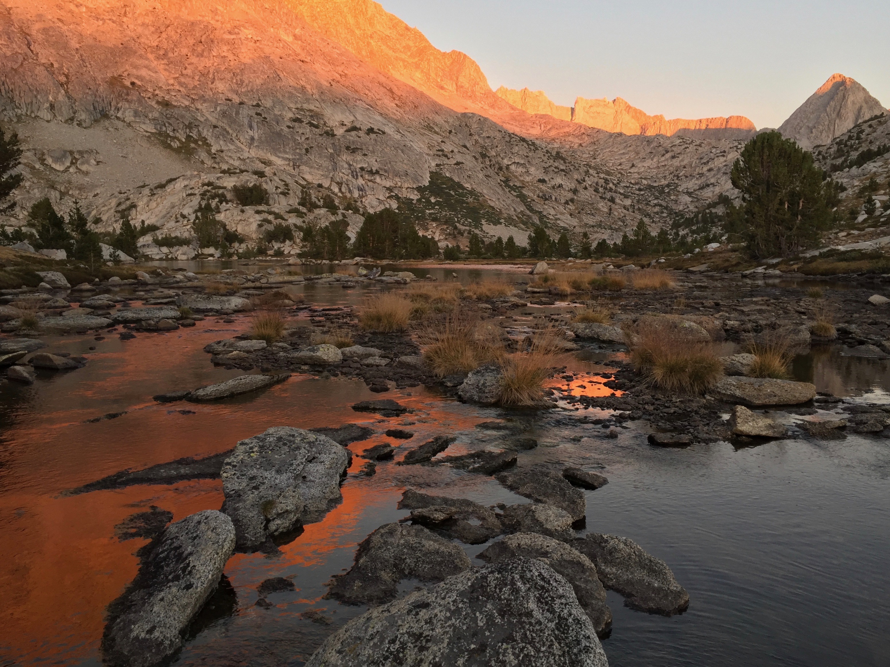
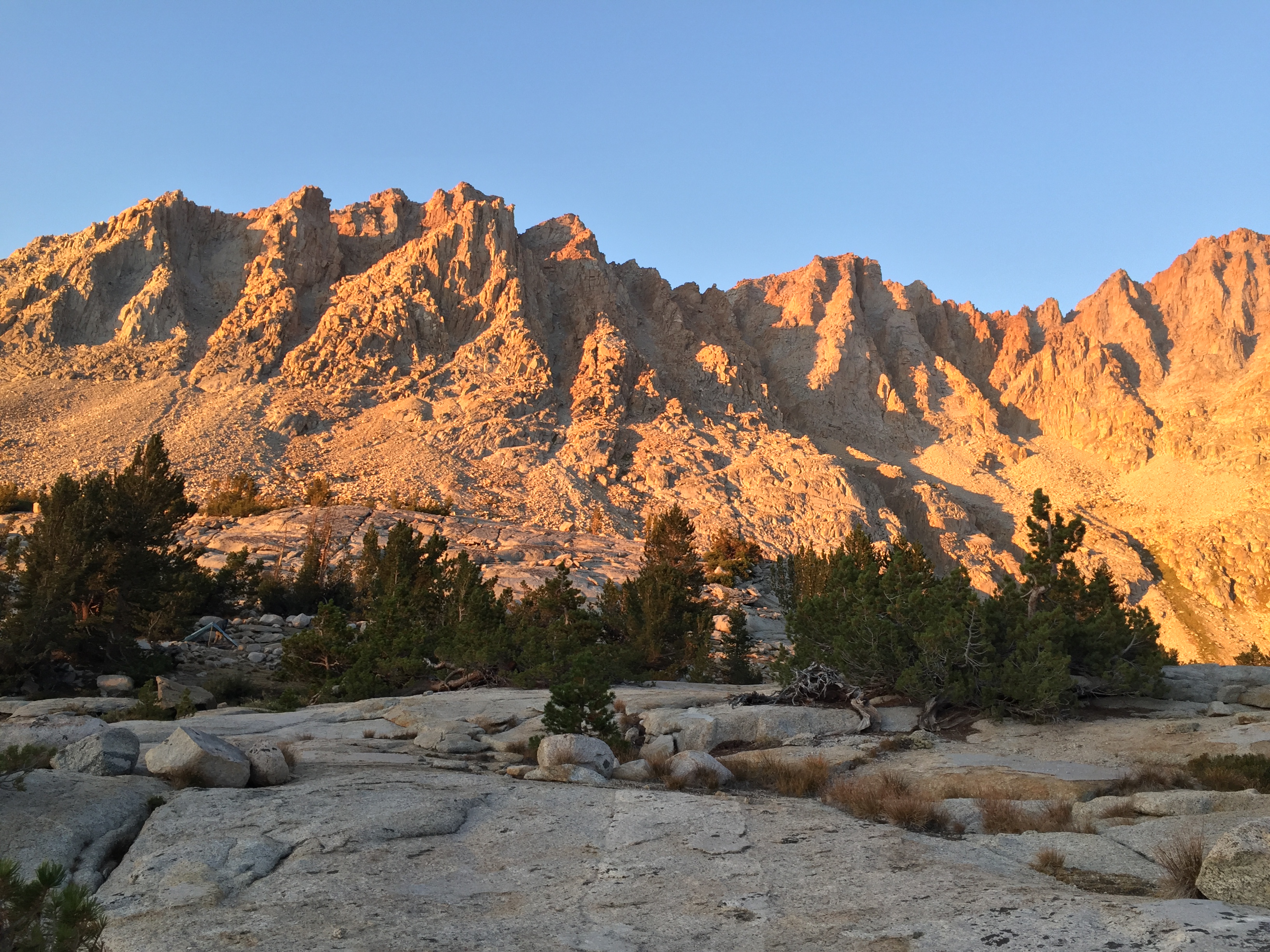
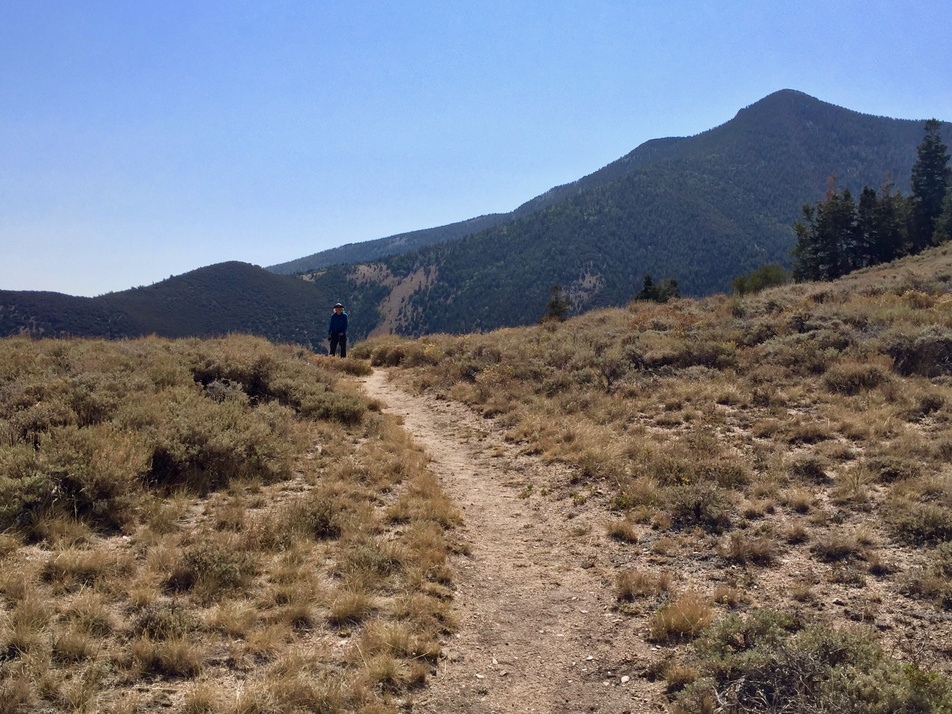
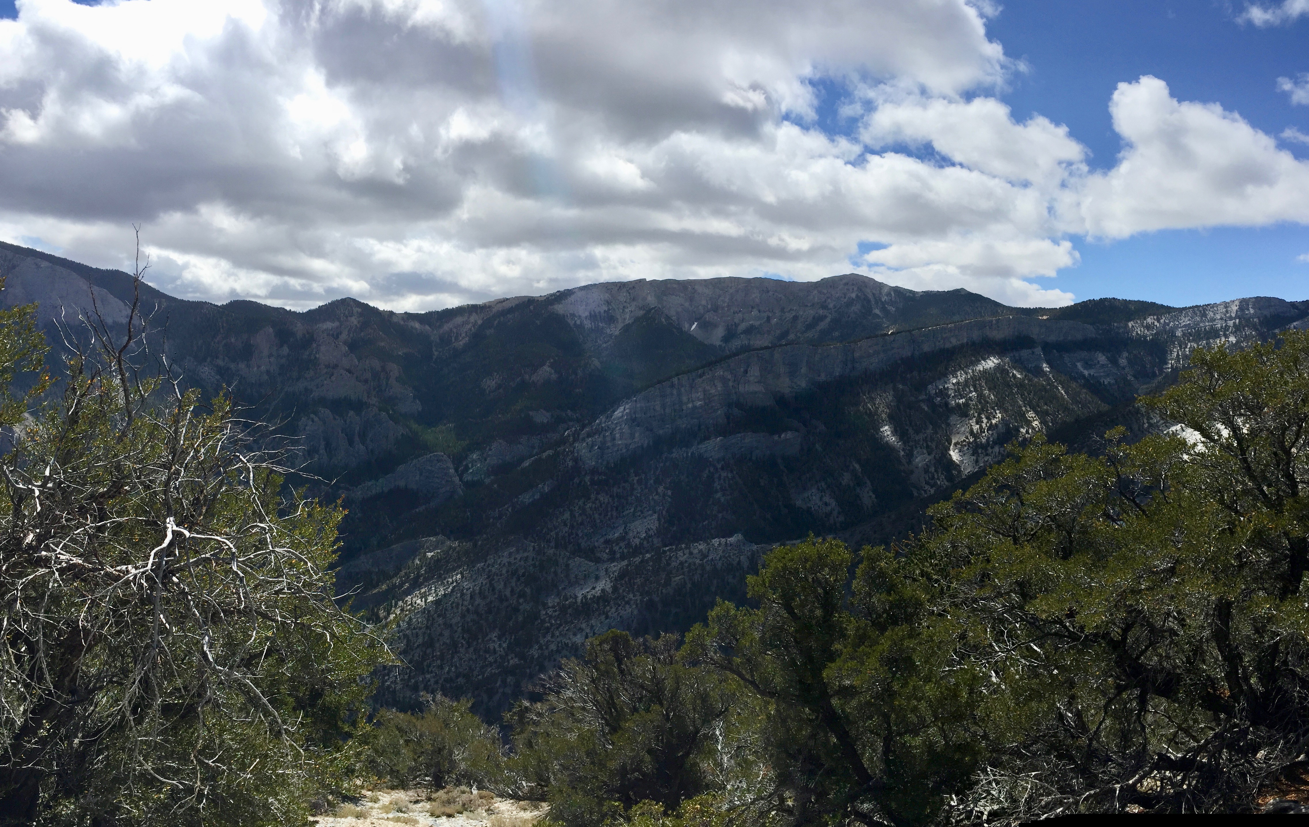
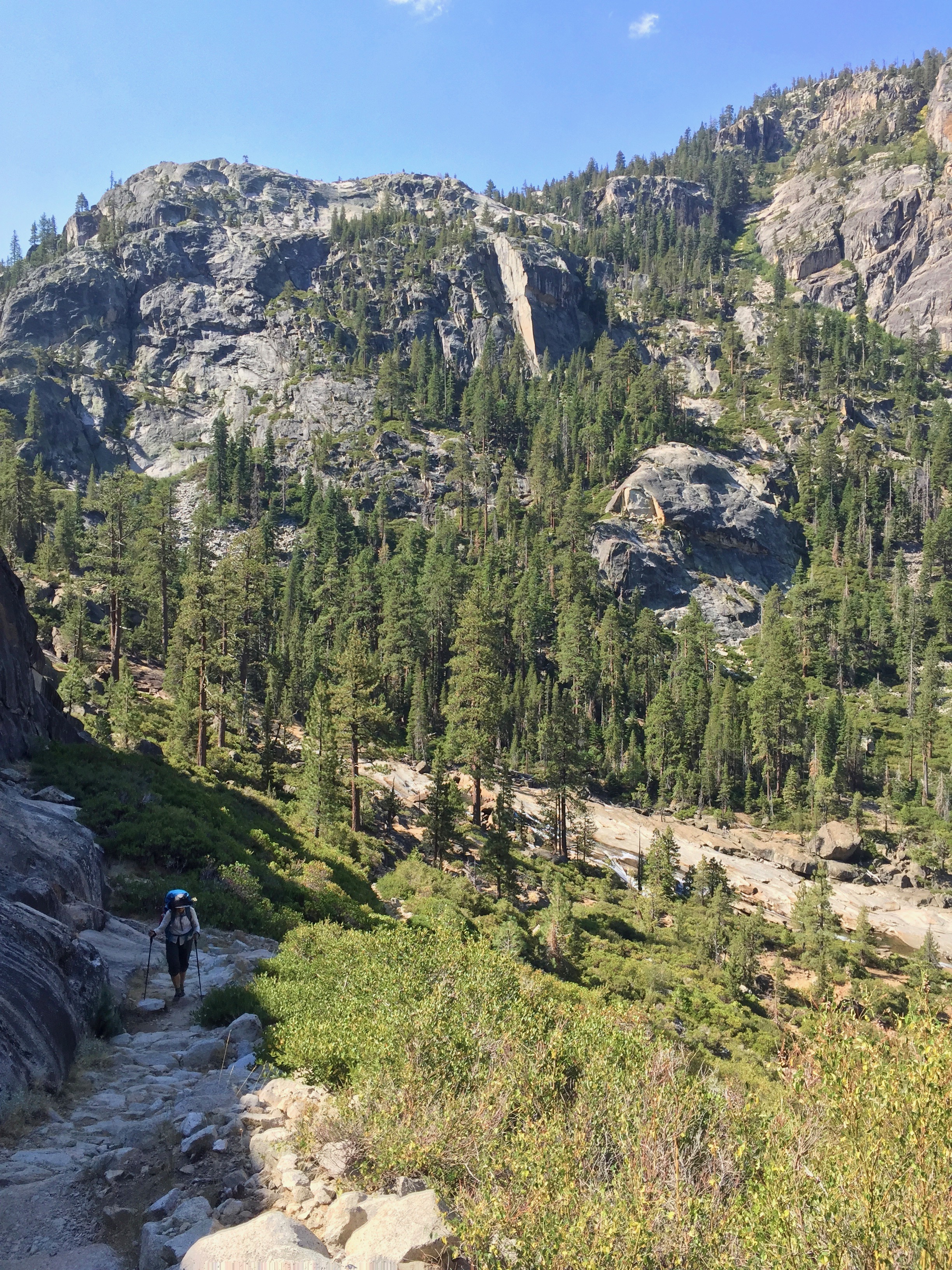
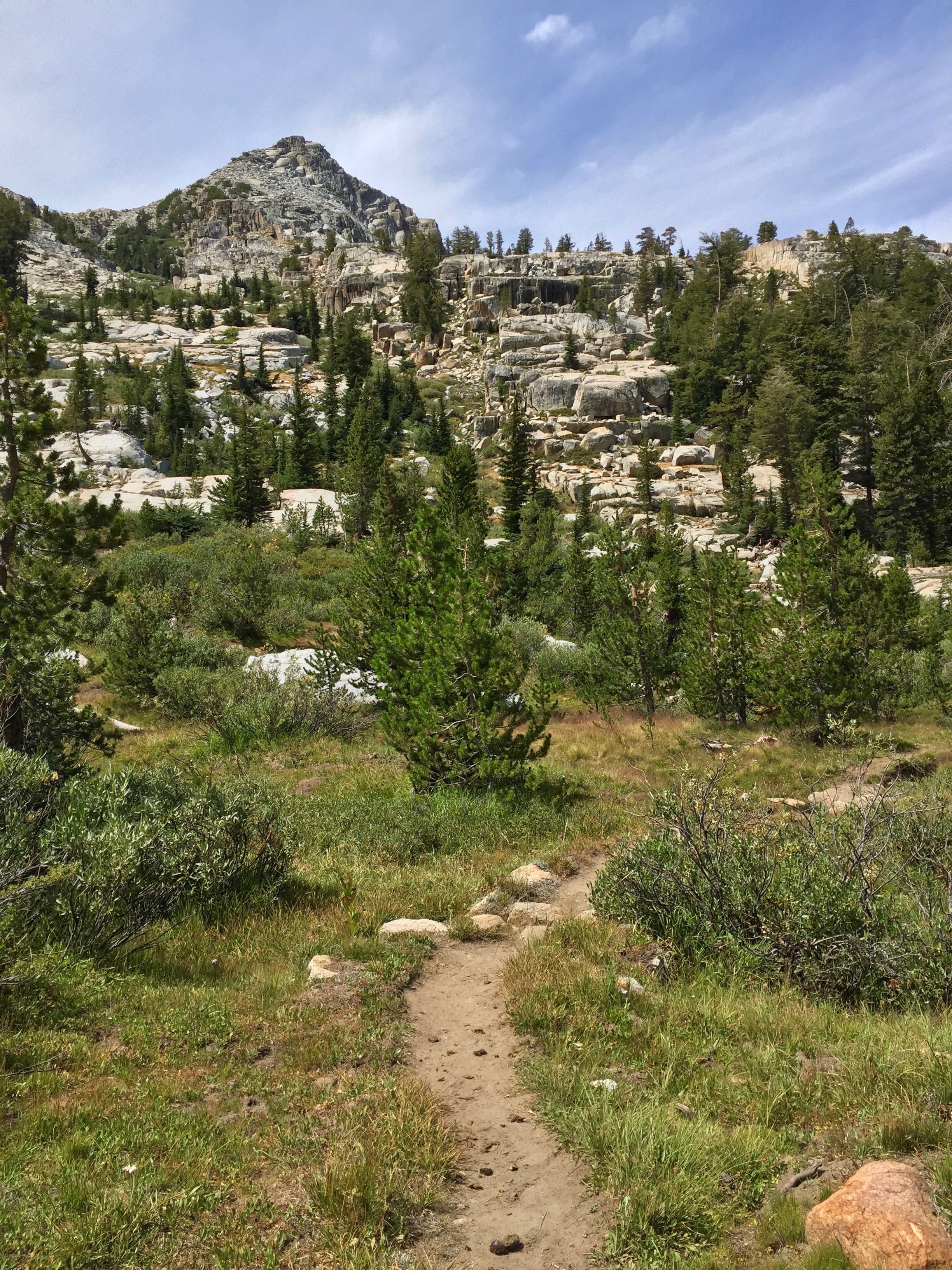
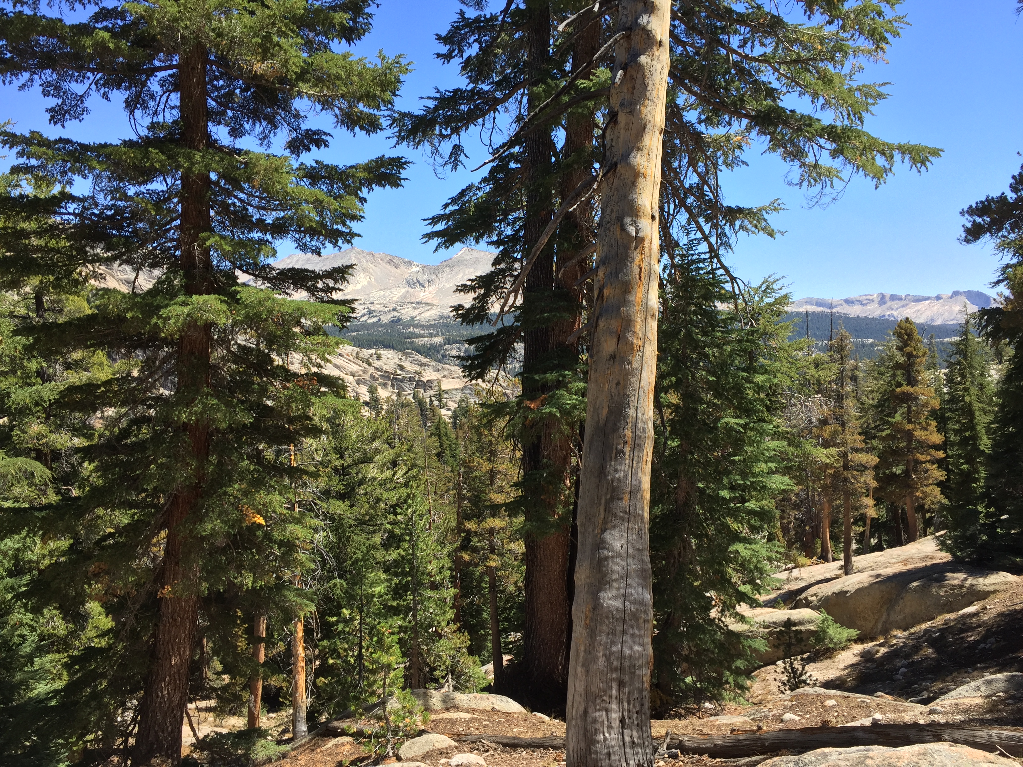
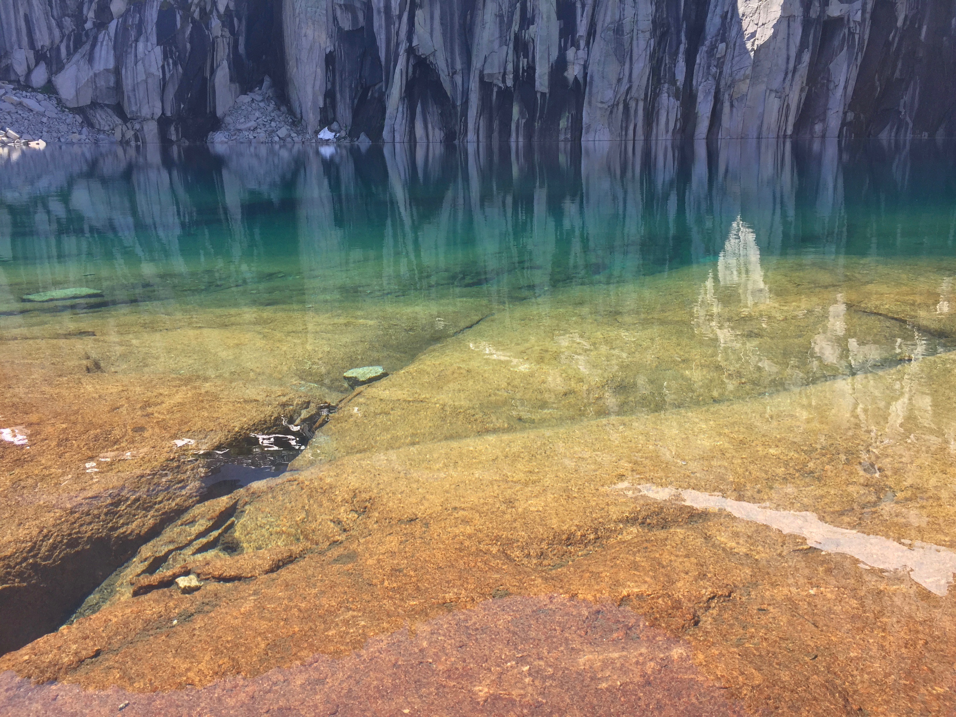
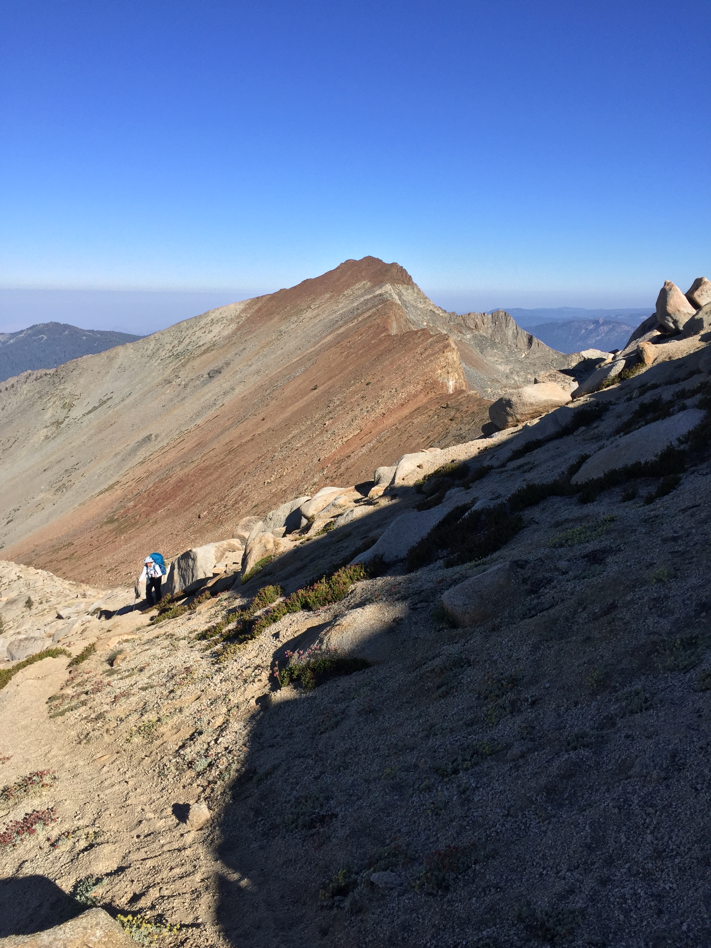
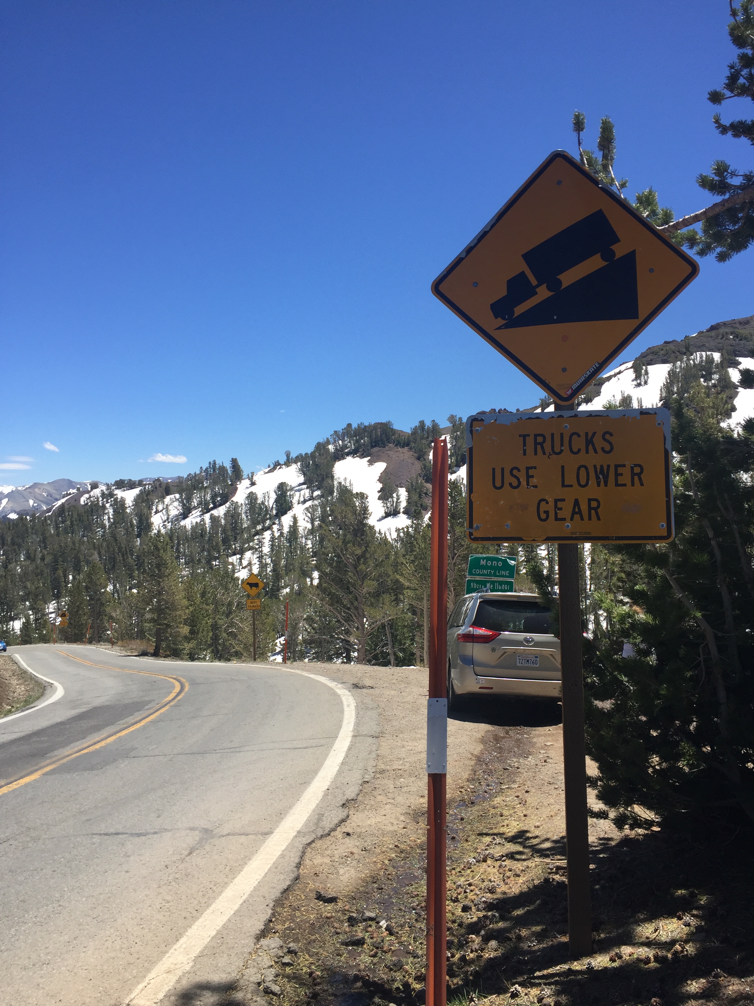
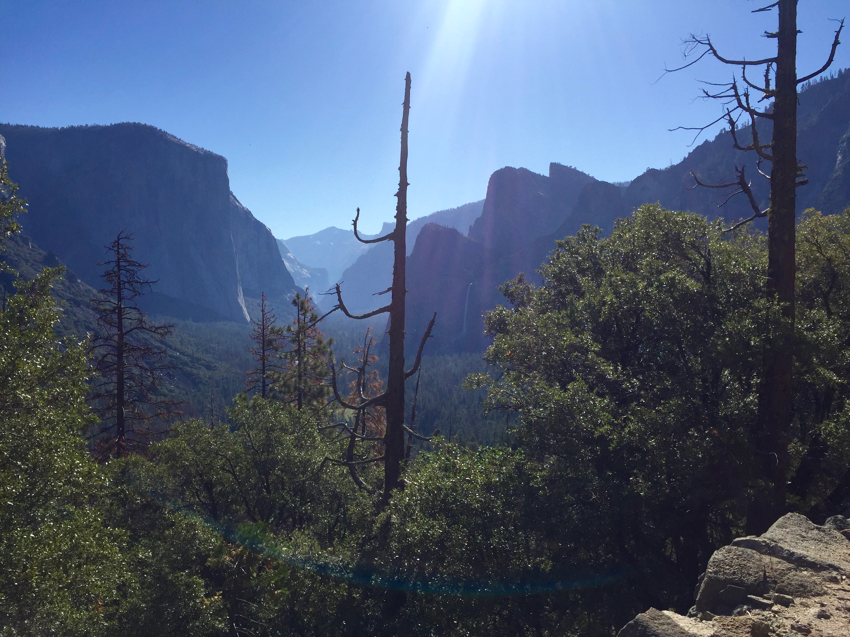
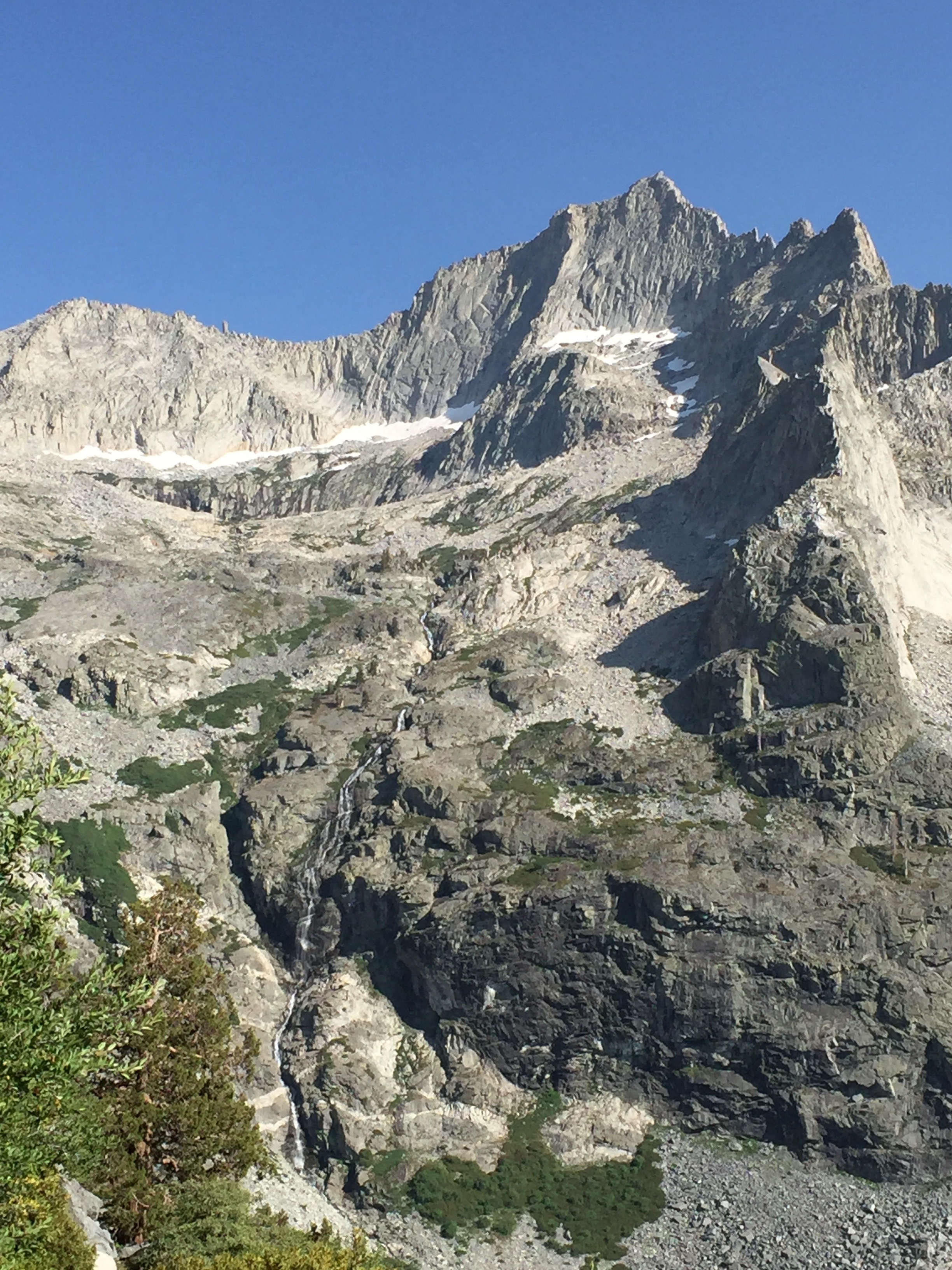
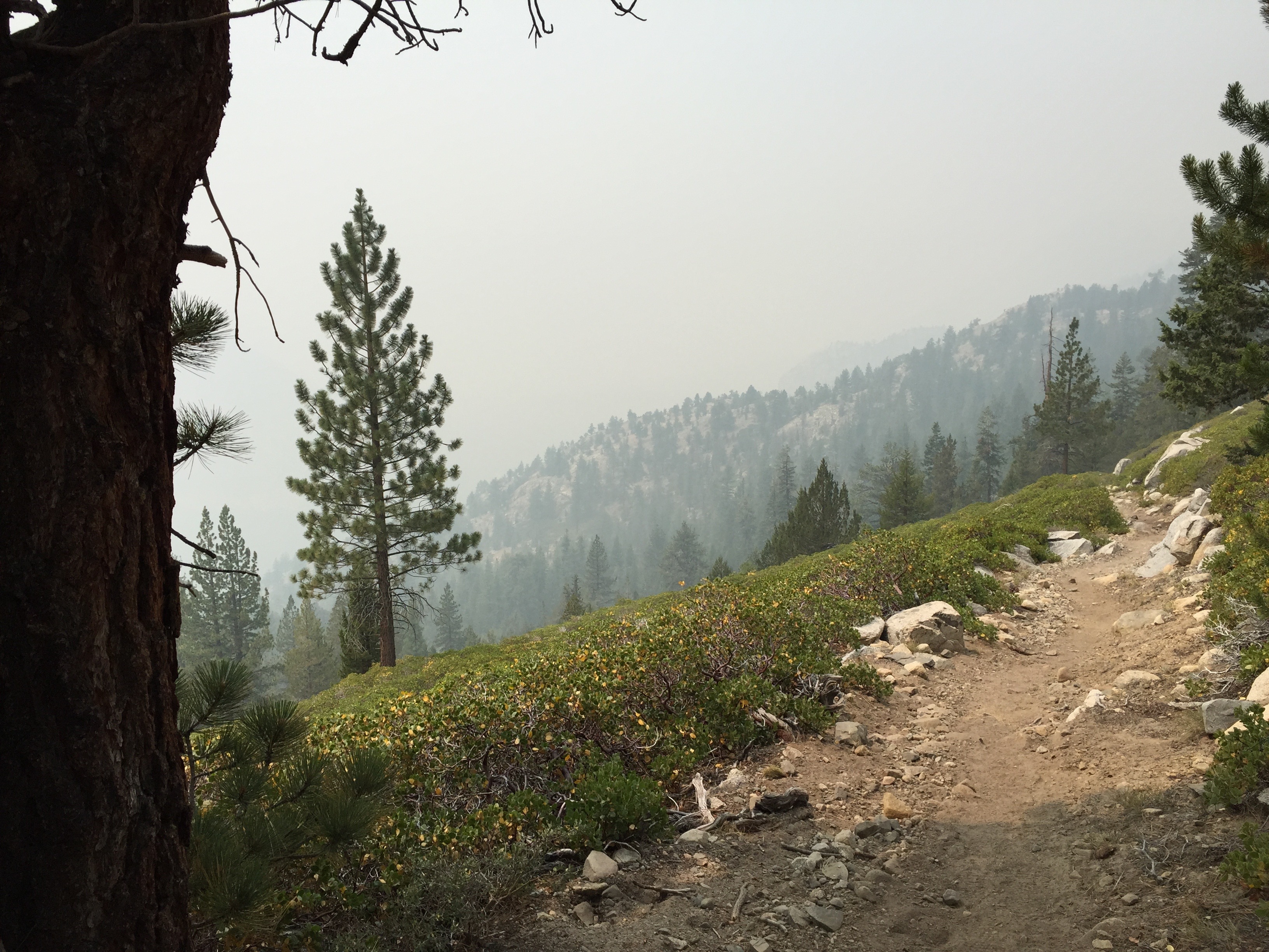
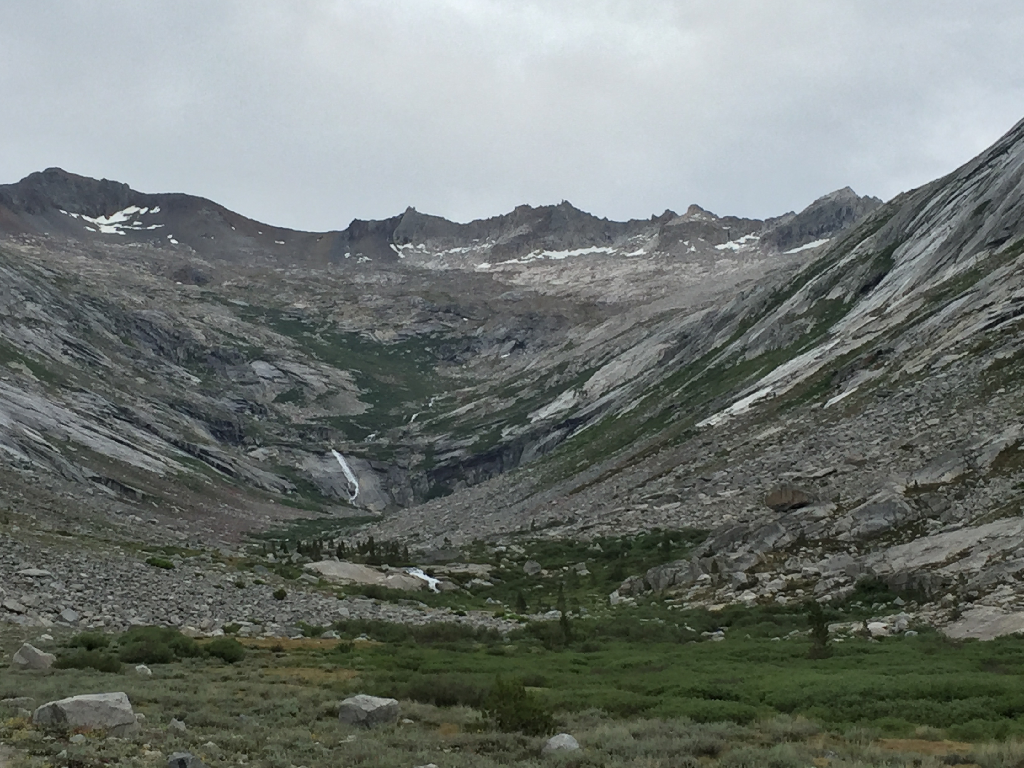
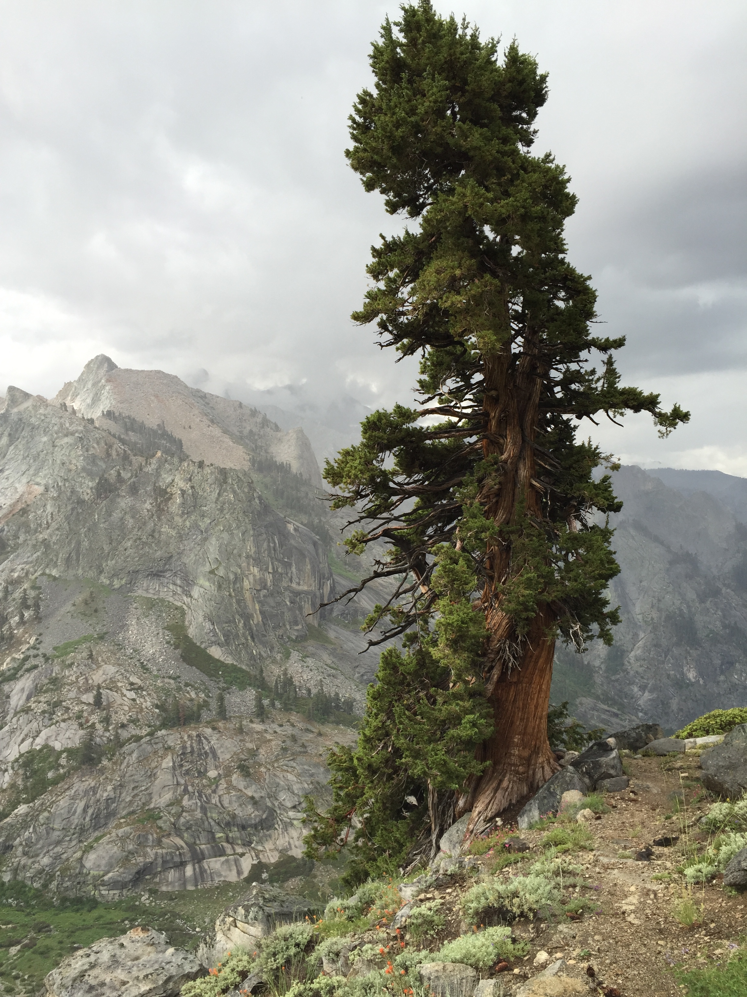
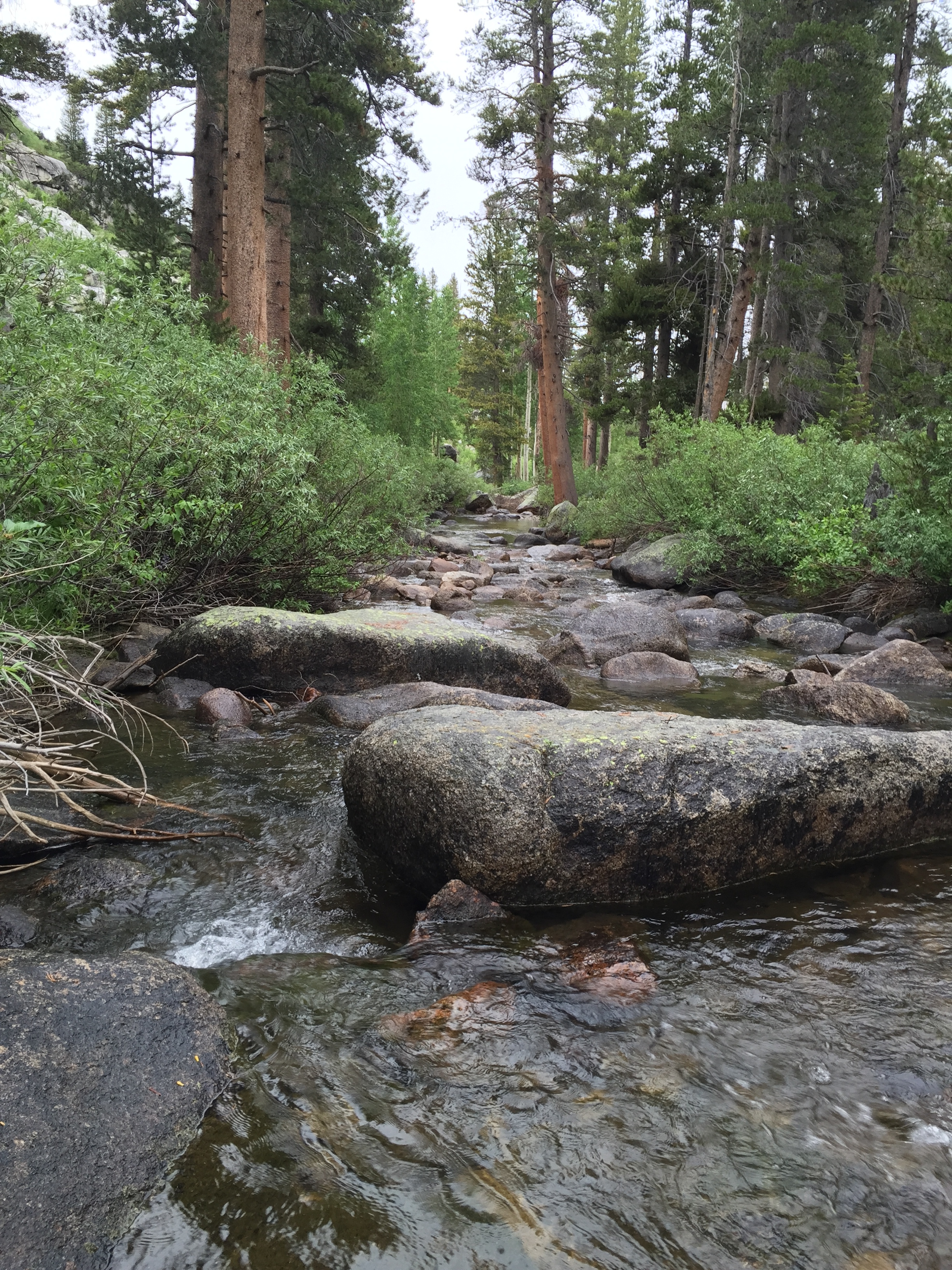
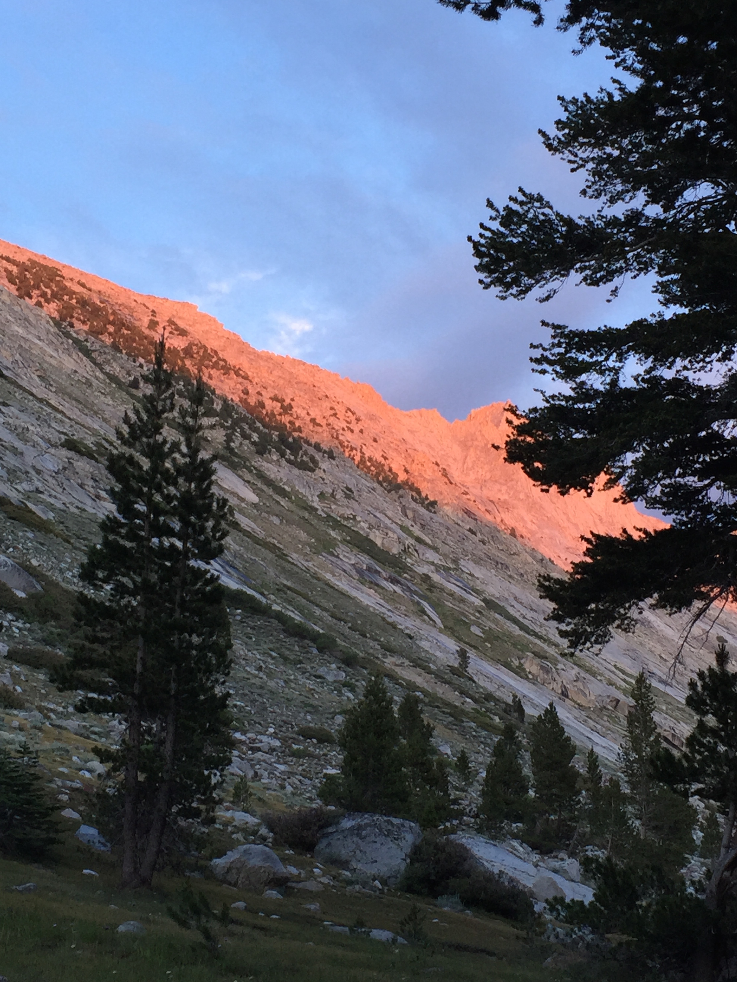
We set off by about 6:30 AM, I think, and immediately began to climb seemingly endless switchbacks up the side of Whitney. Up, up, up we went, first one direction and then the opposite. The whole mountain seems to be made up of giant broken squared-off boulders, piled up to the horizon far above us. As the sunlight grew stronger, the tarns below us changed colors from deep steely blue-grey to coppery gold. All the way up the miles of switchbacks, I marveled at the trail-building skills of the people who made it possible for us to hike as easily as we did. It seems like a nearly-super-human effort of blasting and grading and moving rocks. We are on a section of the JMT that isn’t open to stock animals, unlike most of the rest of the 200+ miles. John Muir himself disliked bringing stock into the mountains, as he saw firsthand how they degraded and changed the ecosystem so dramatically in the mid-1800’s. Thankfully, these high mountains are no longer open to herds of sheep and cattle to feed in the summertime. But without mules to bear supplies of food and equipment, these trails might never have been built for us to enjoy. It’s complicated…I found myself thinking often how Muir would probably have disliked, if not outright hated, the trail named after him.

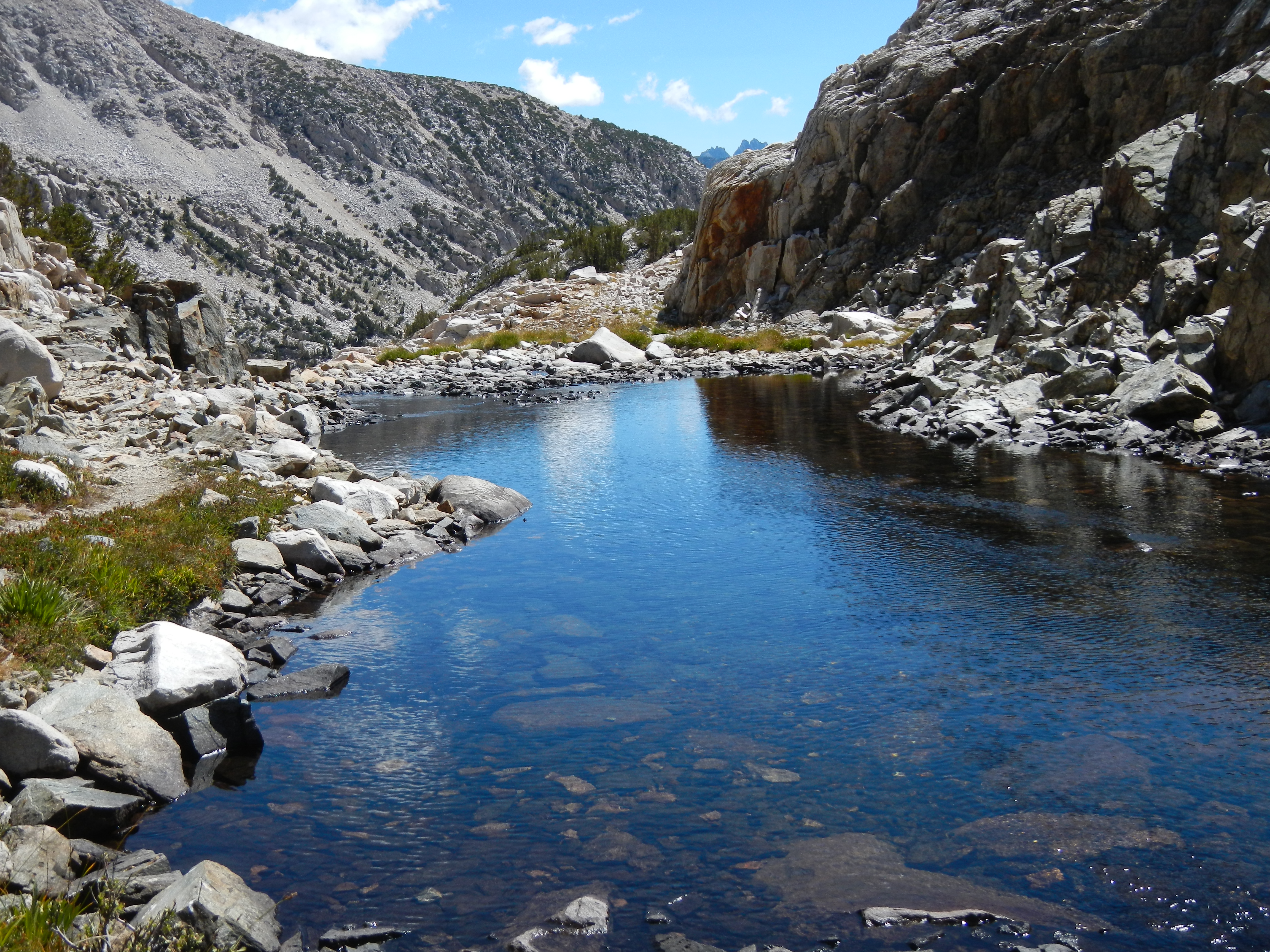
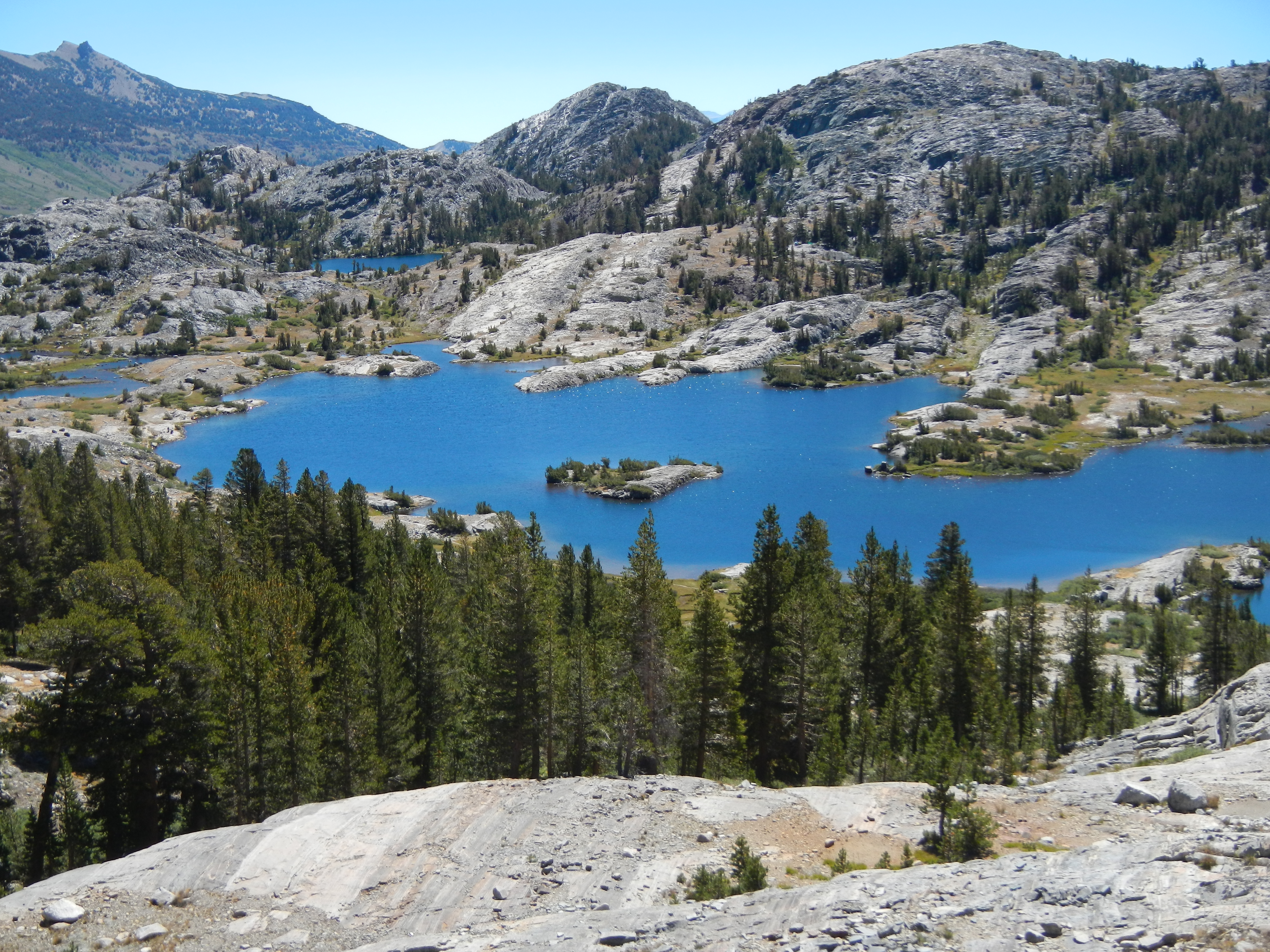
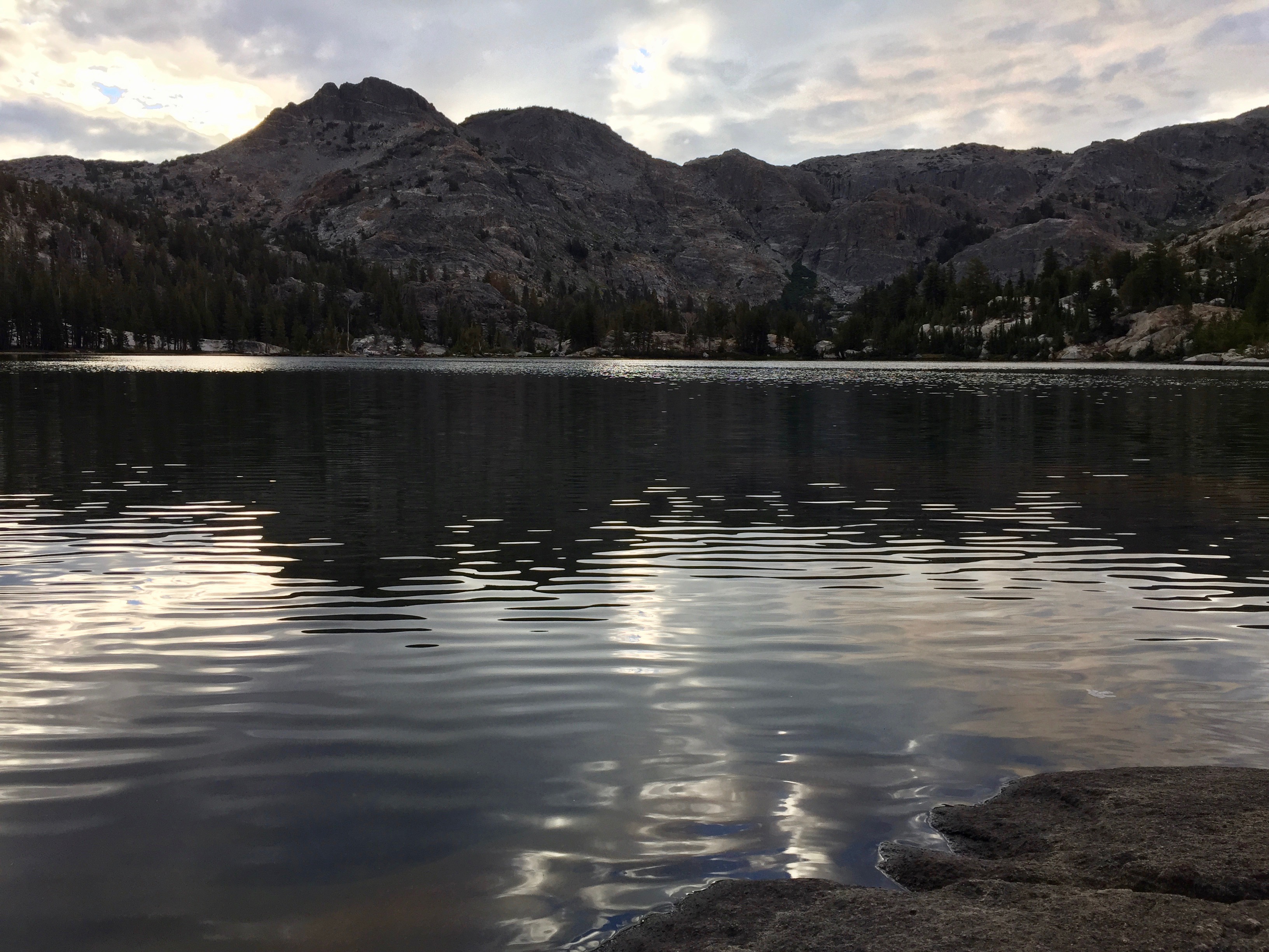
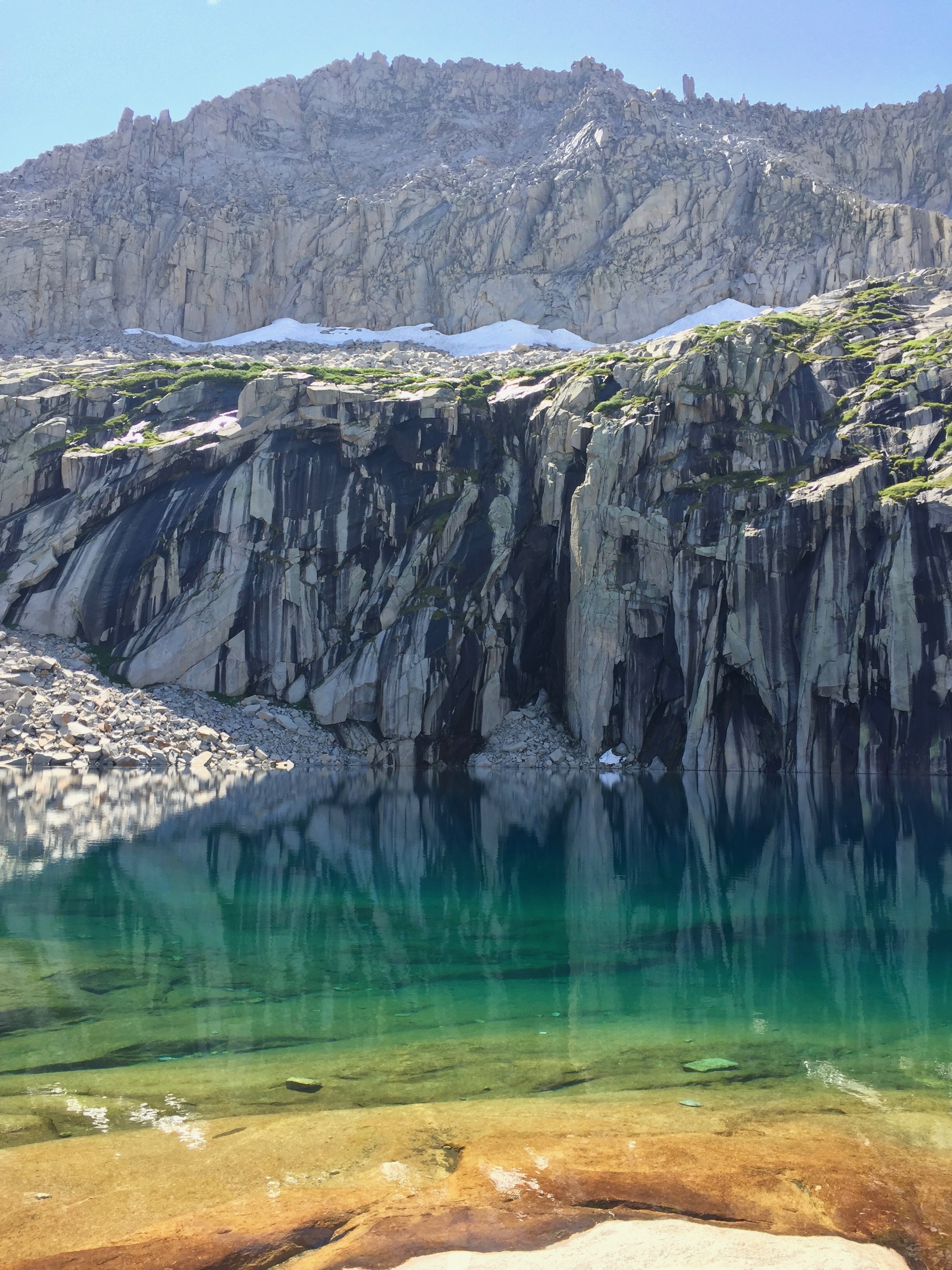
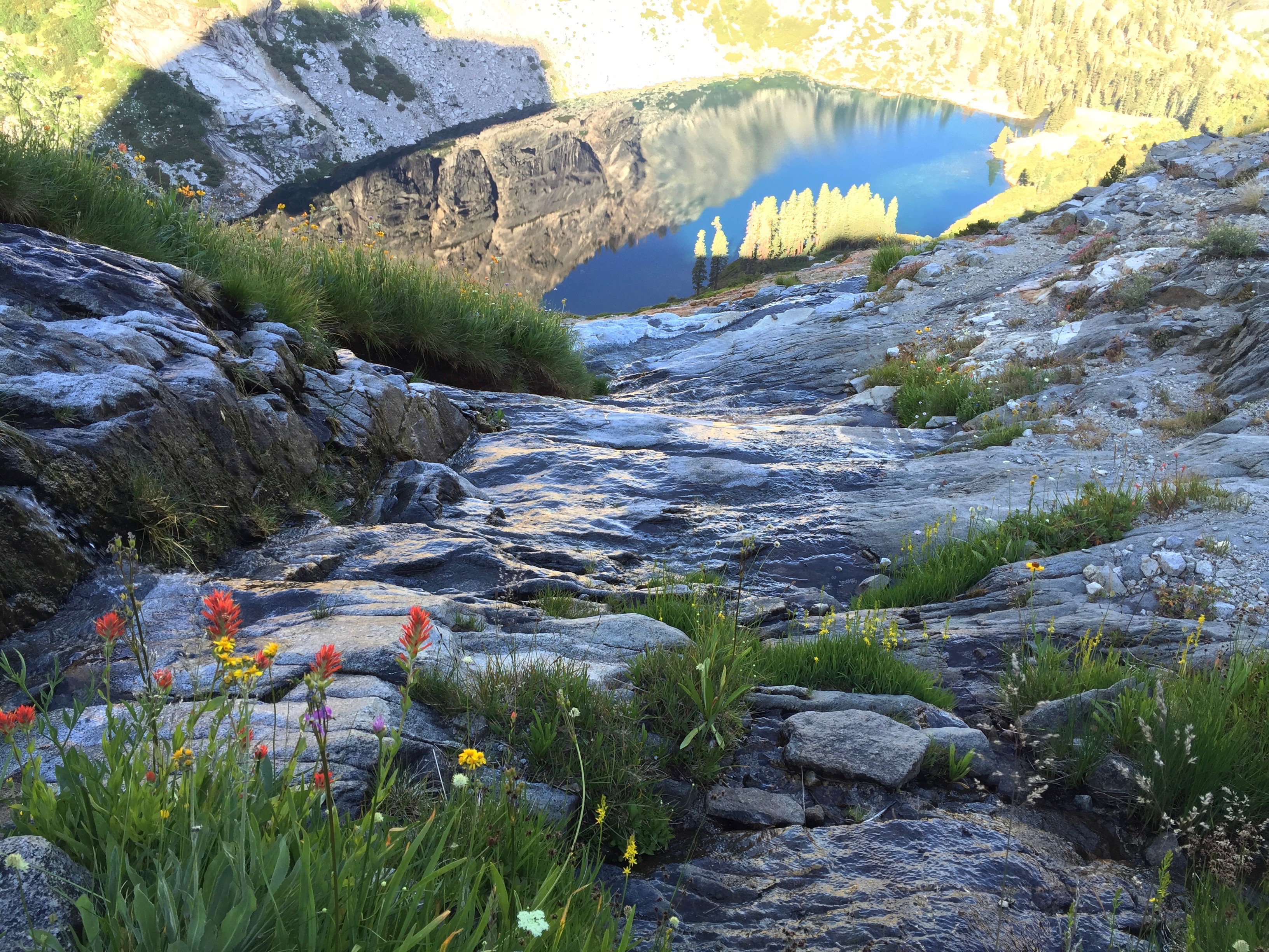
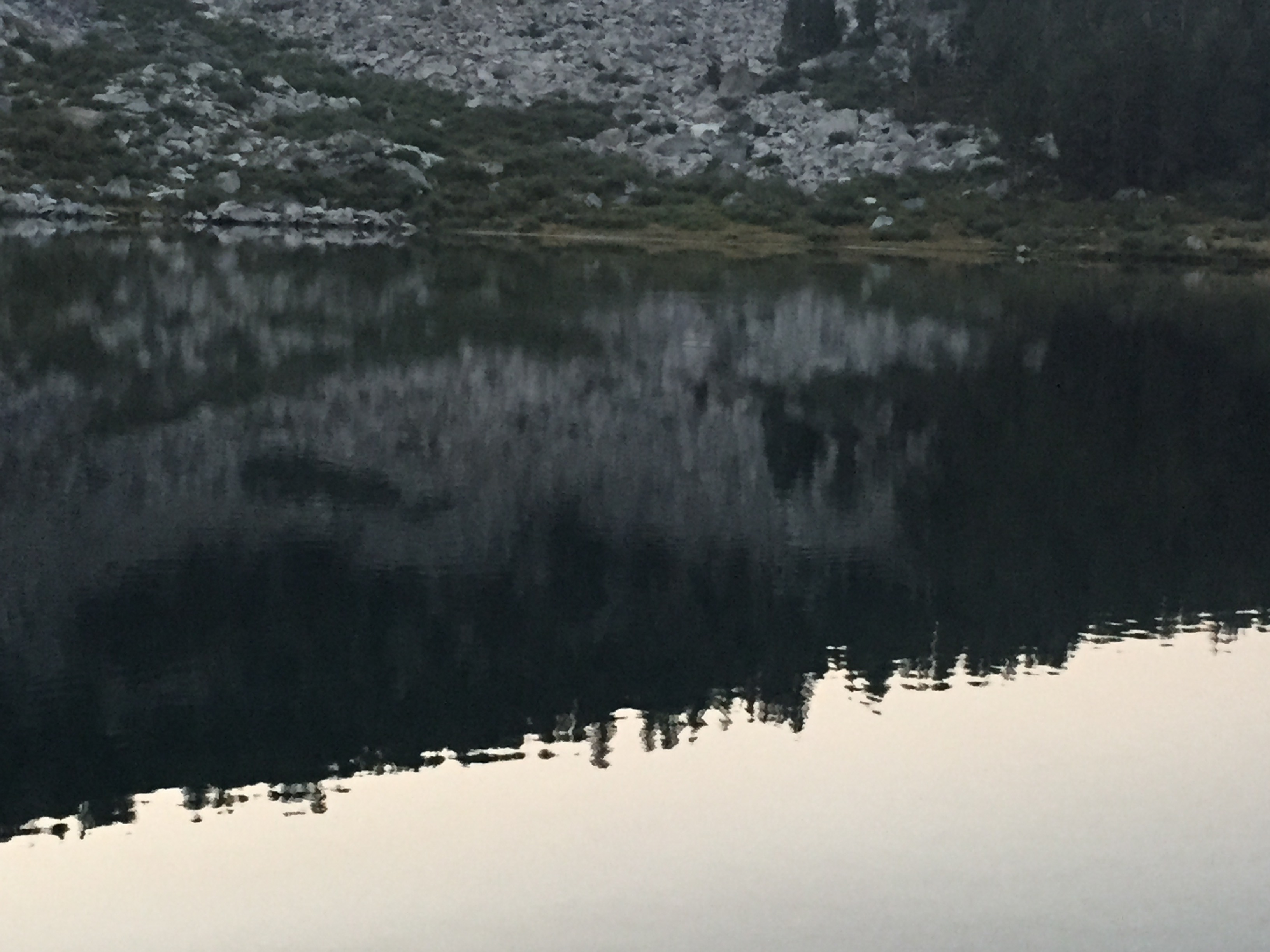
The lakes changed from India ink black to gold as the light changed. Photo: BW

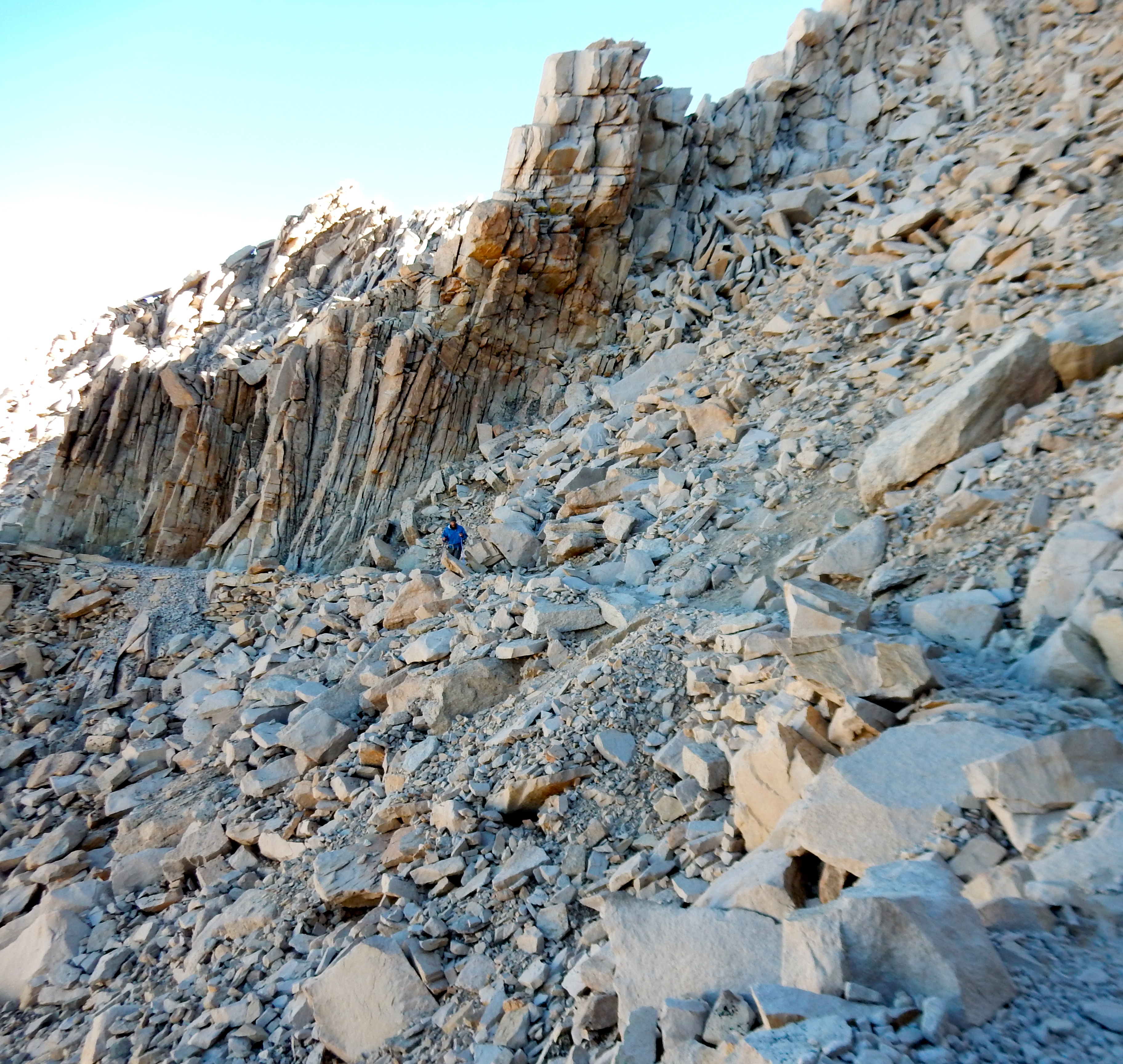
Climbing, climbing, climbing in the shade as the sun rose. Photo: BW

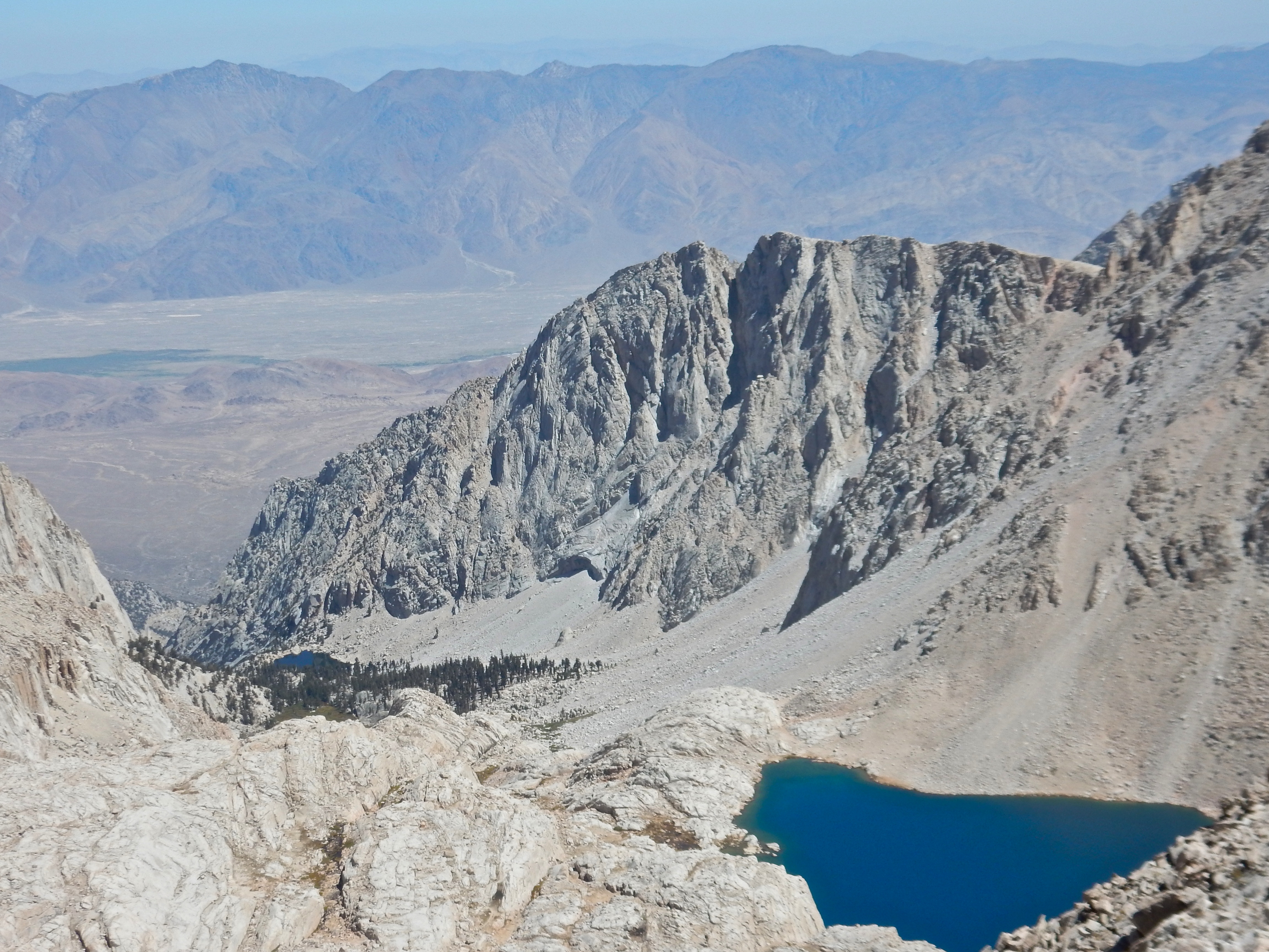
For some perspective, note the teeny figures at the bottom of the photo. Photo: BW

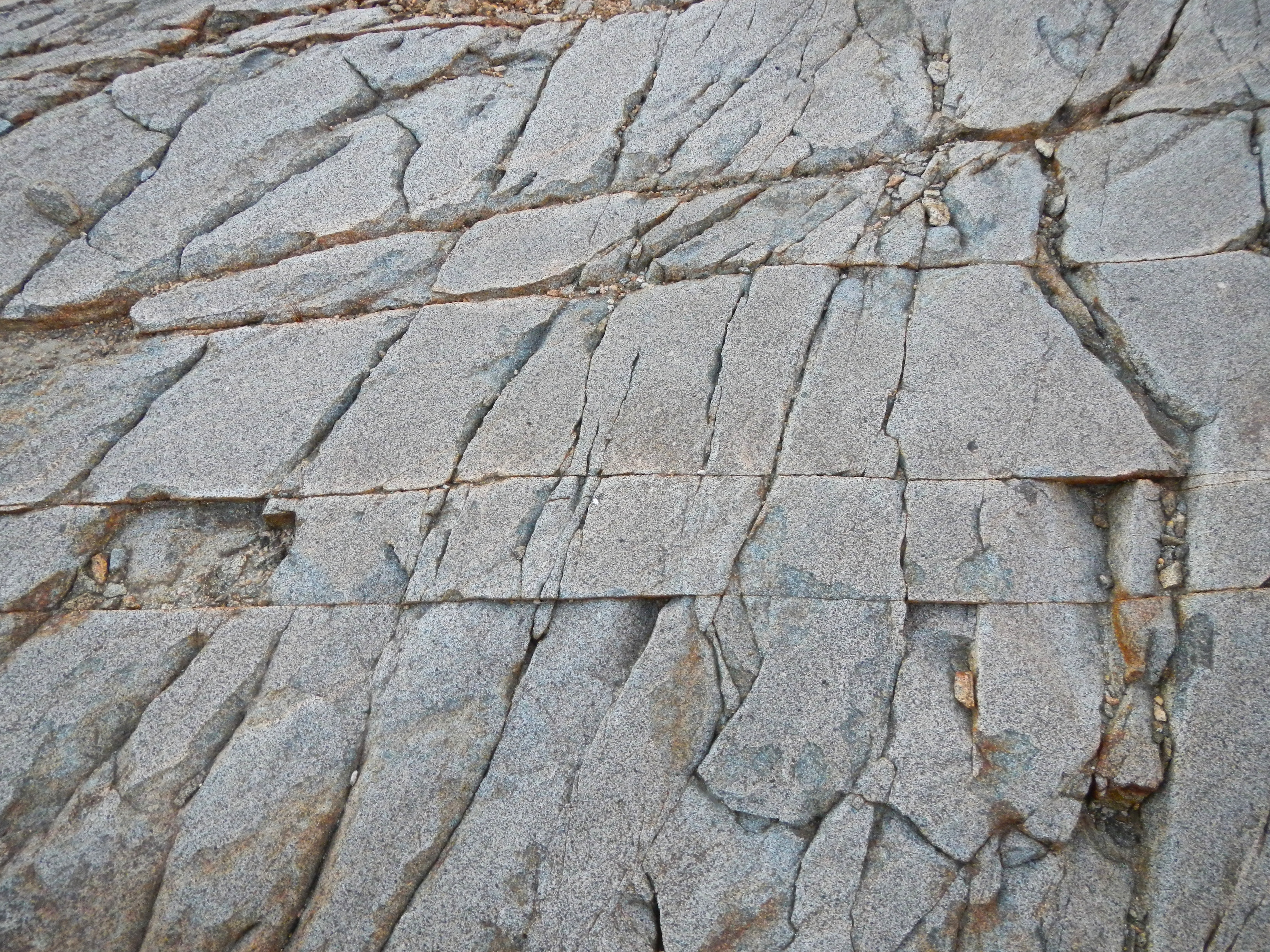
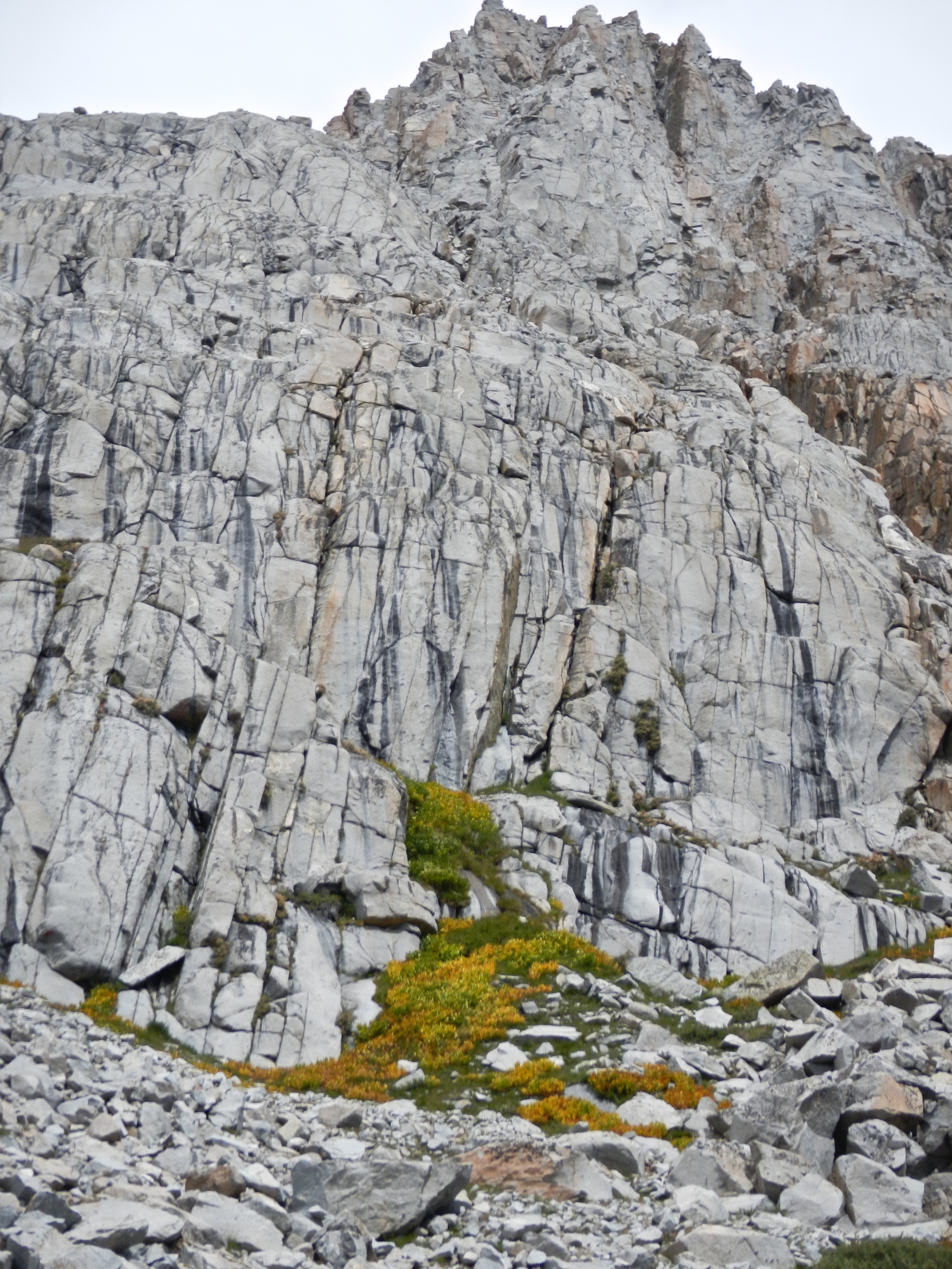
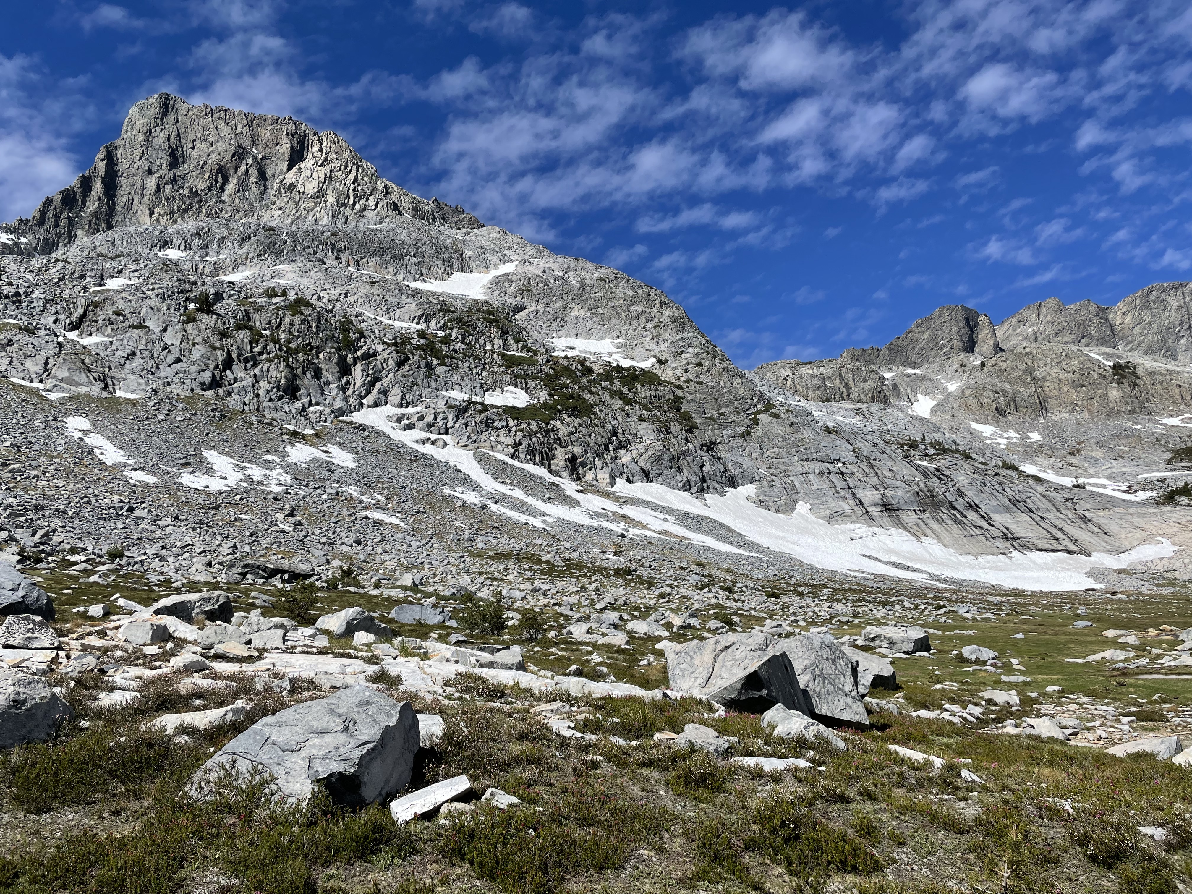
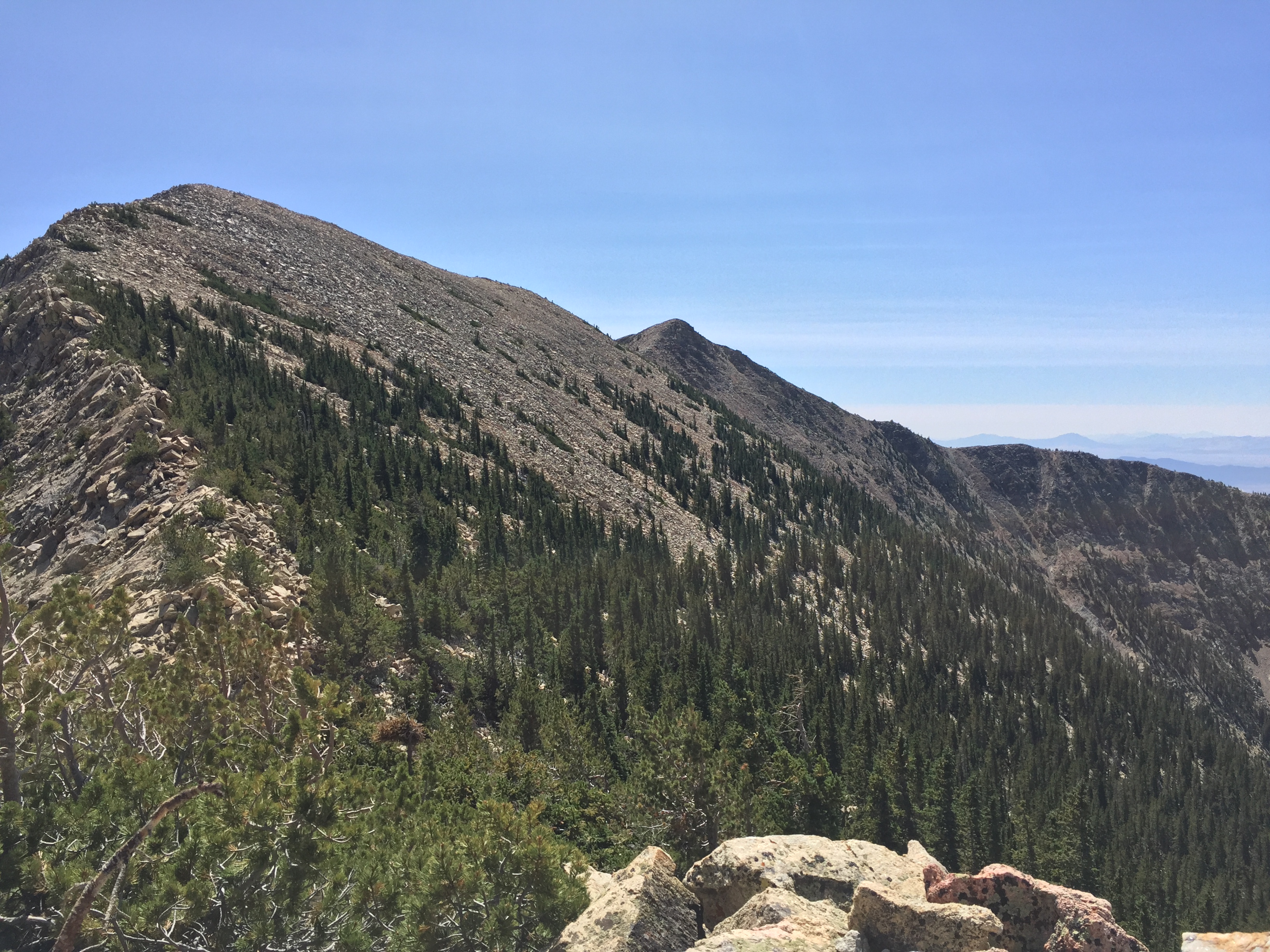
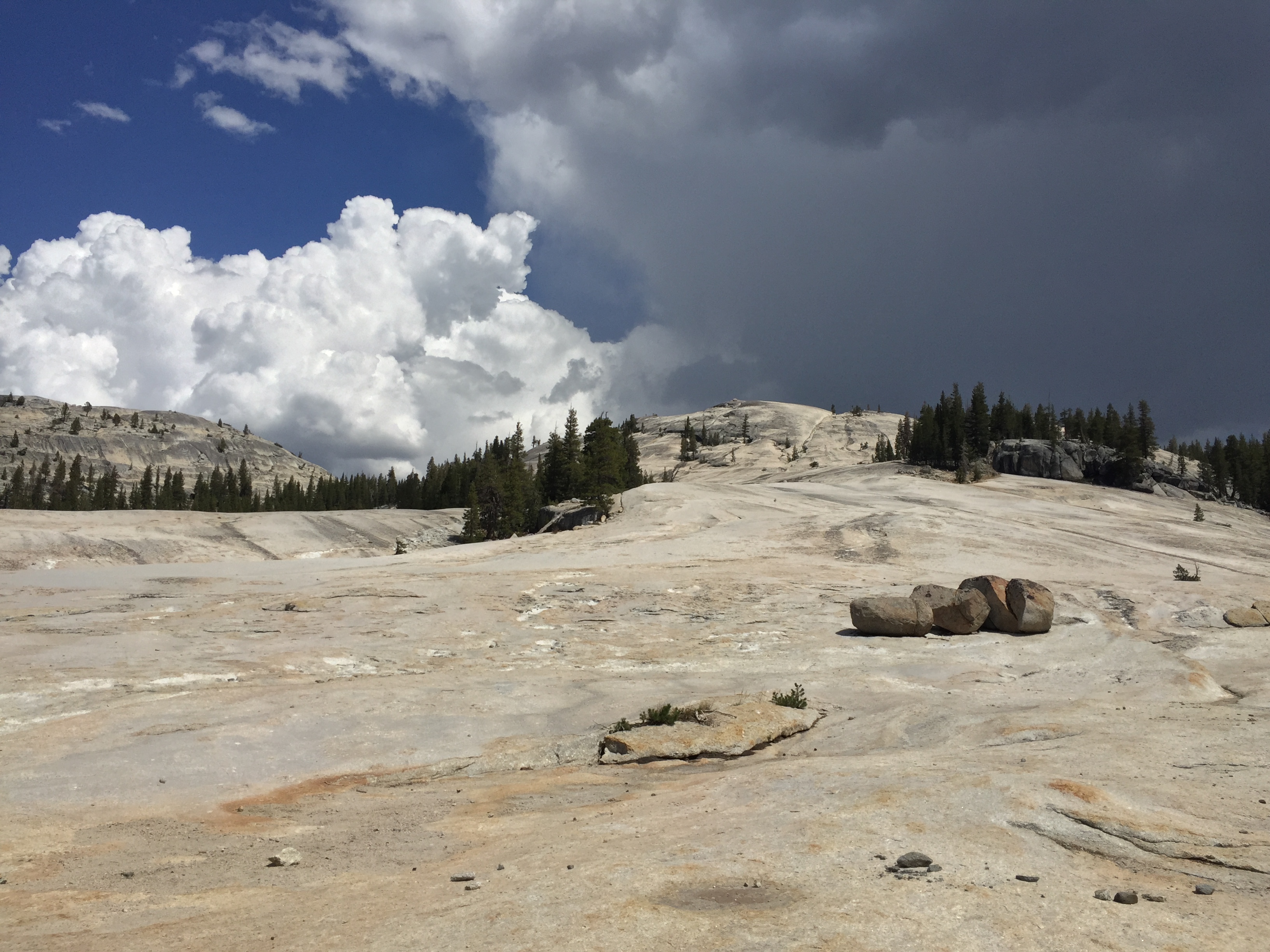
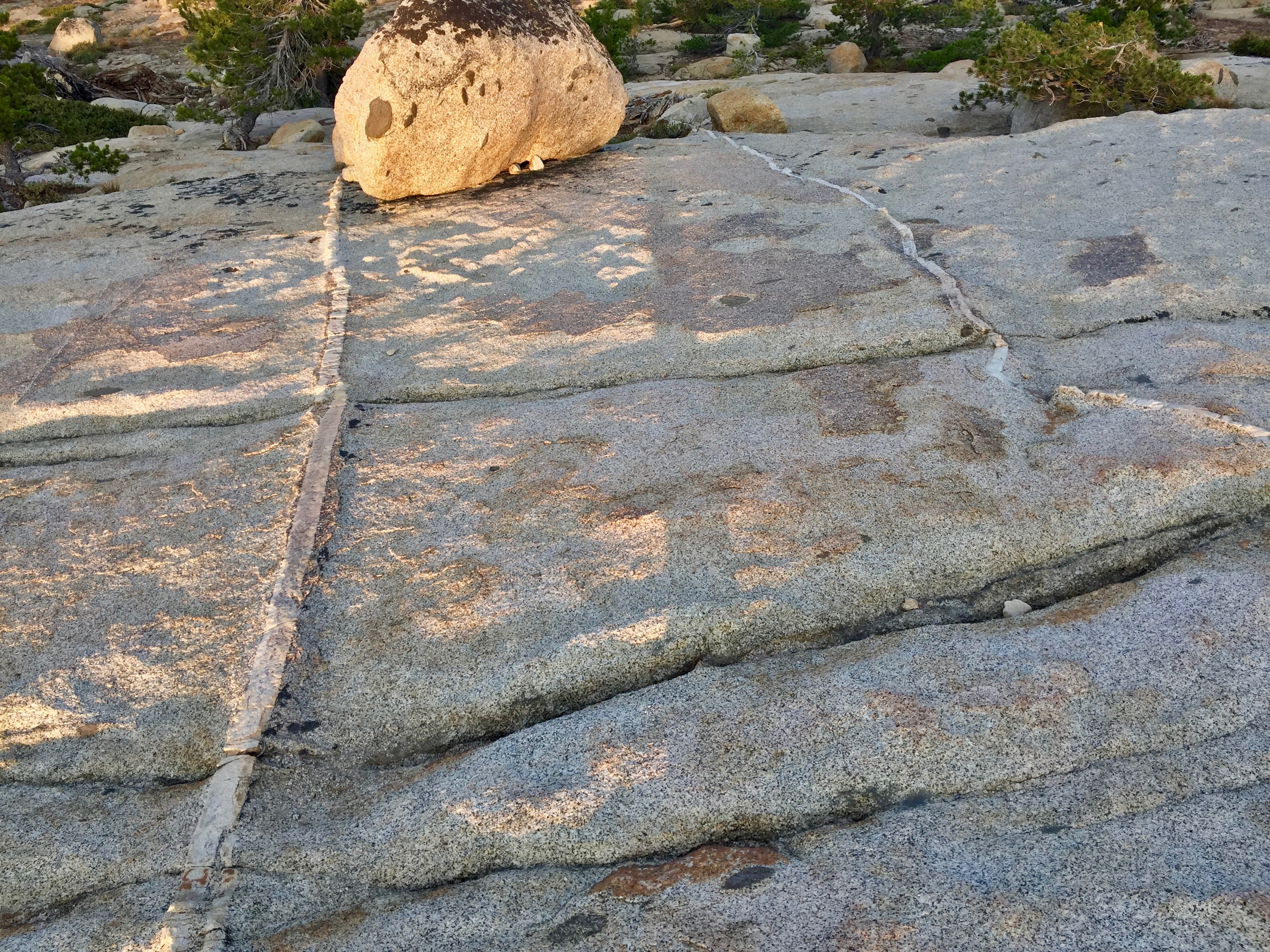
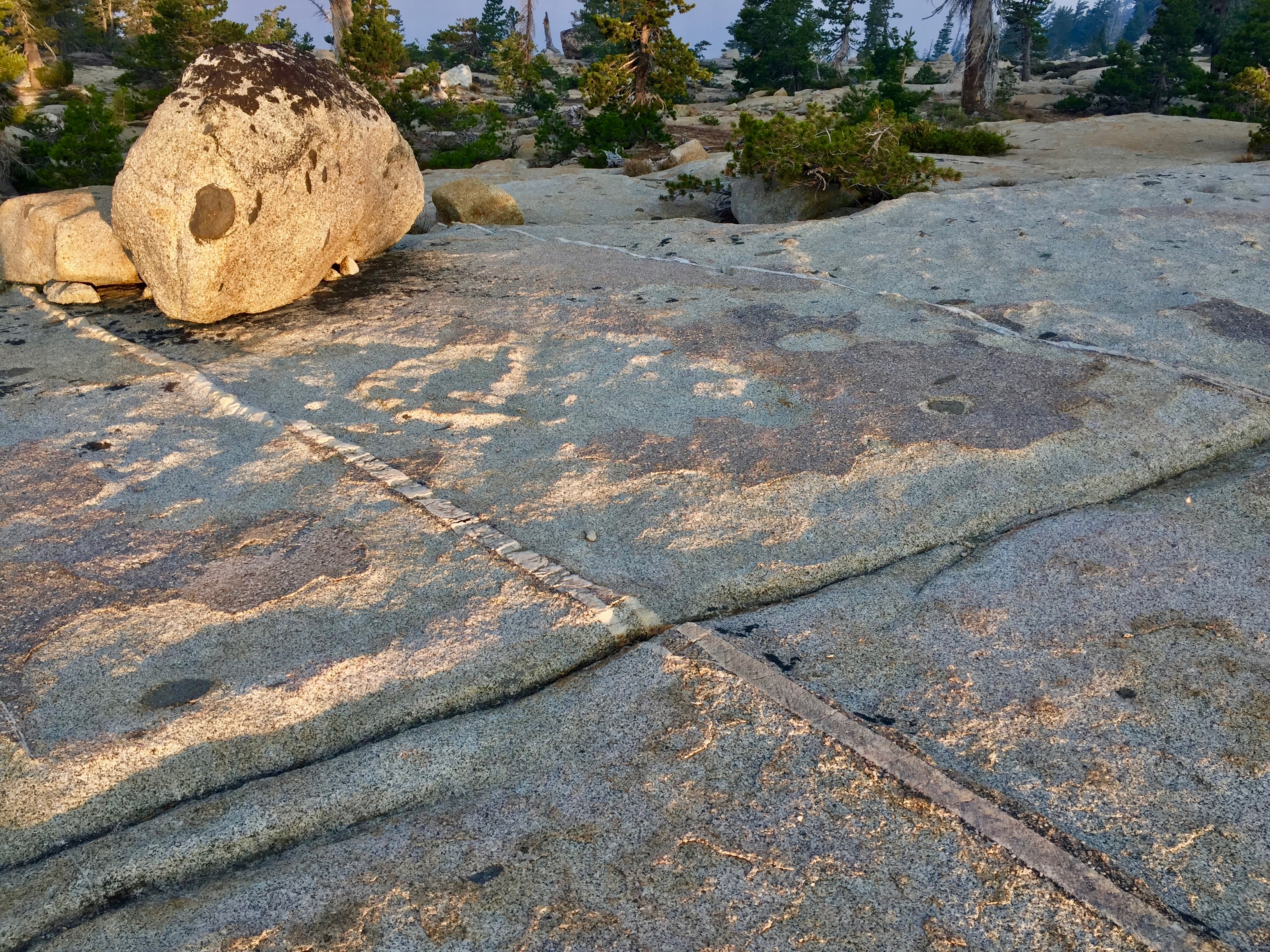
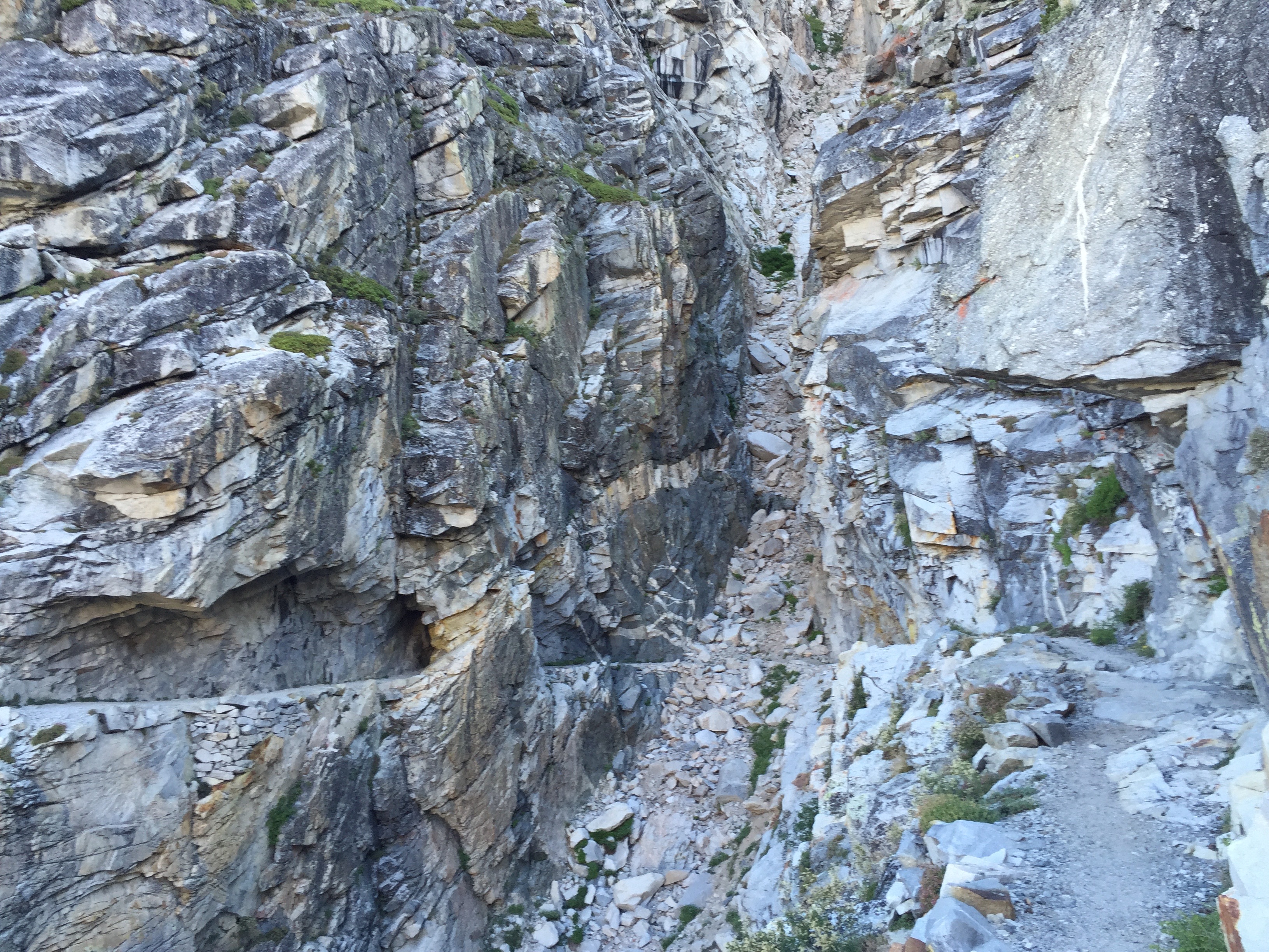
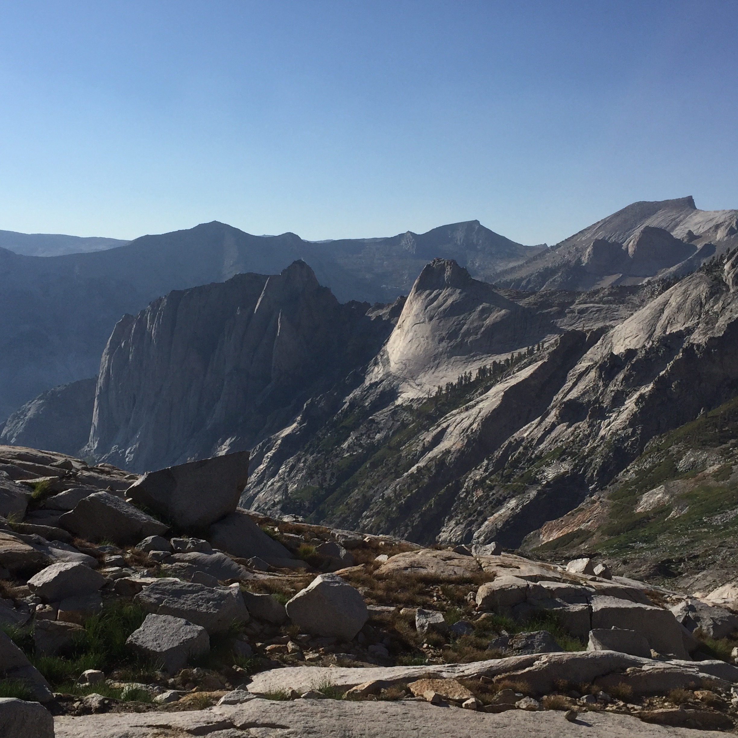
So much fractured rock! No smoothing glacier activity here. Photo: BW

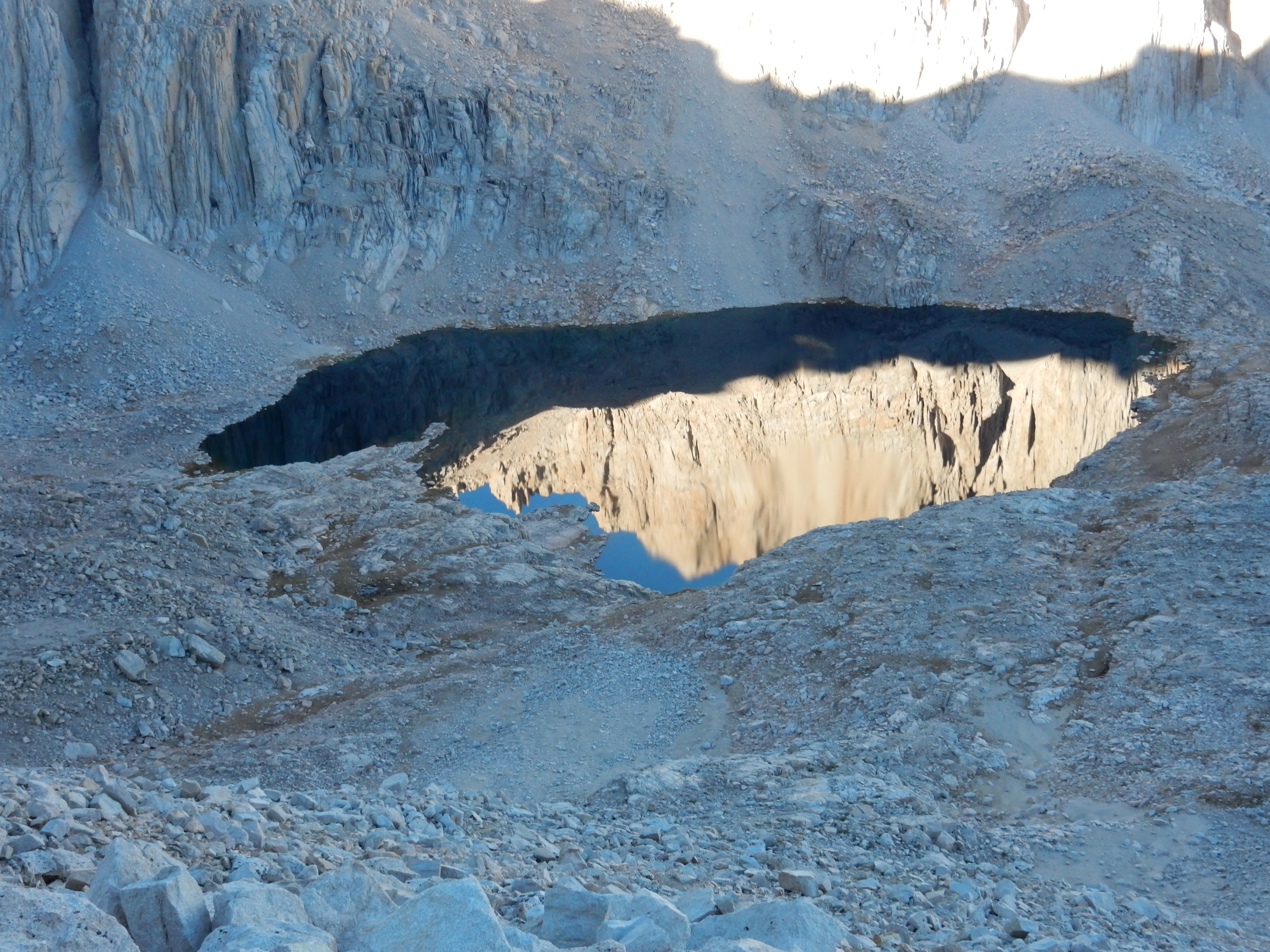
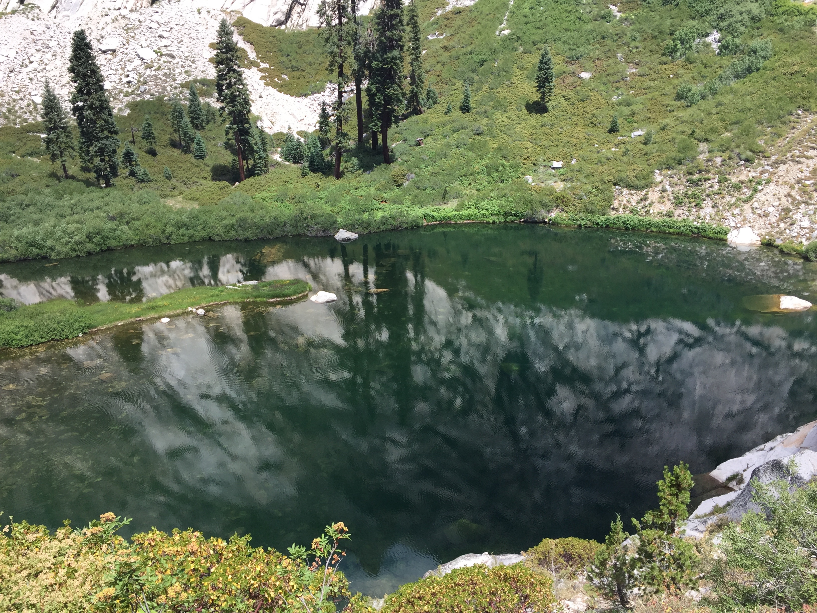
This little lake was constantly changing its face as the sun rose. Photo: BW

The mountain walls rose around us, exhilaratingly steep and uninviting. Photo: BW
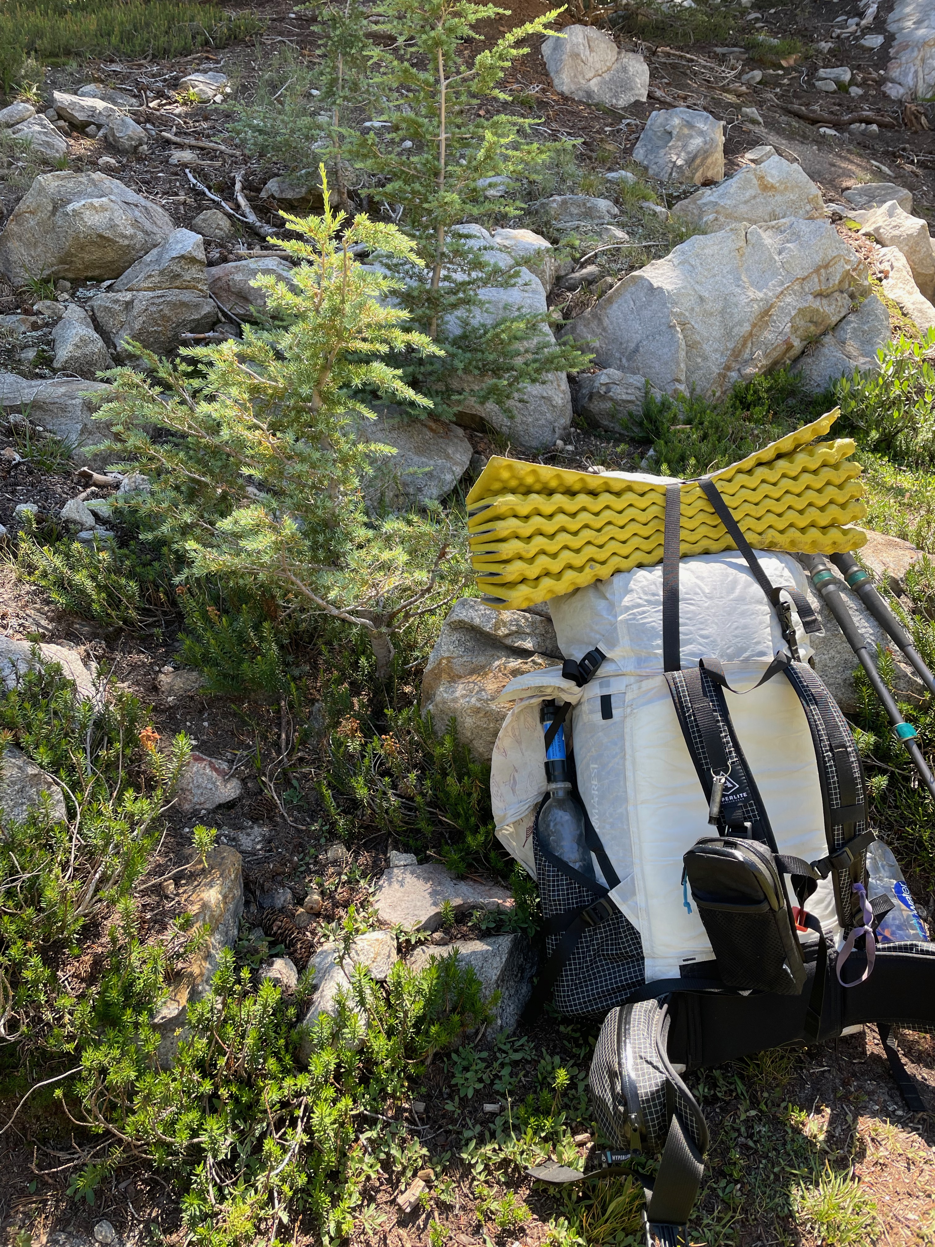
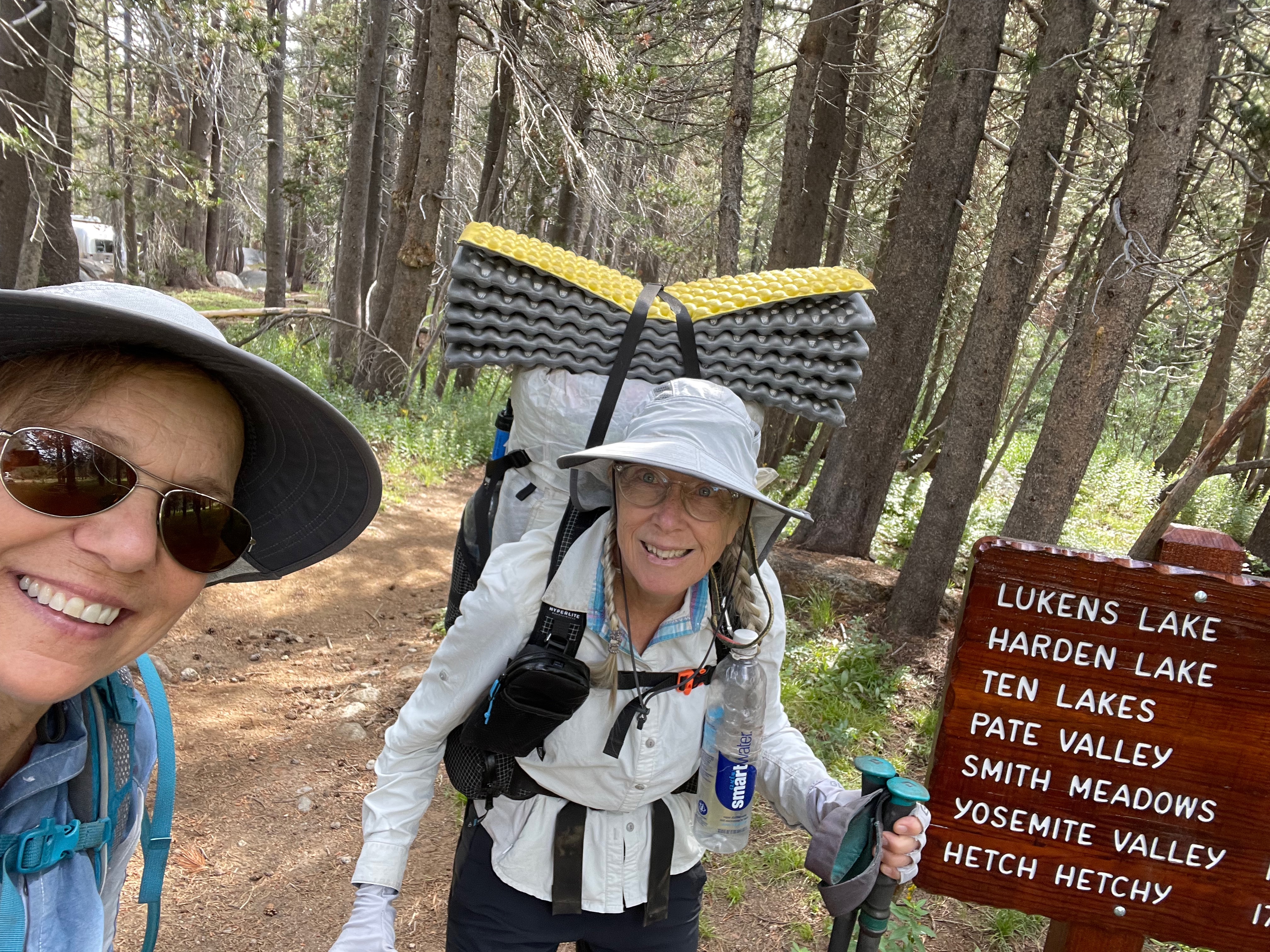
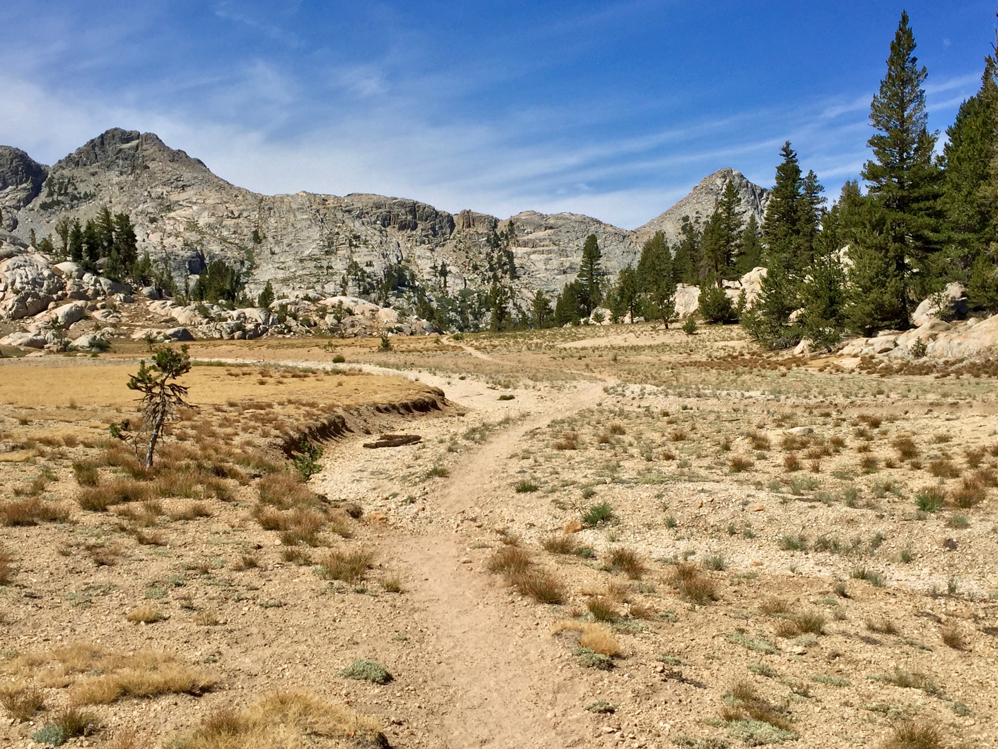
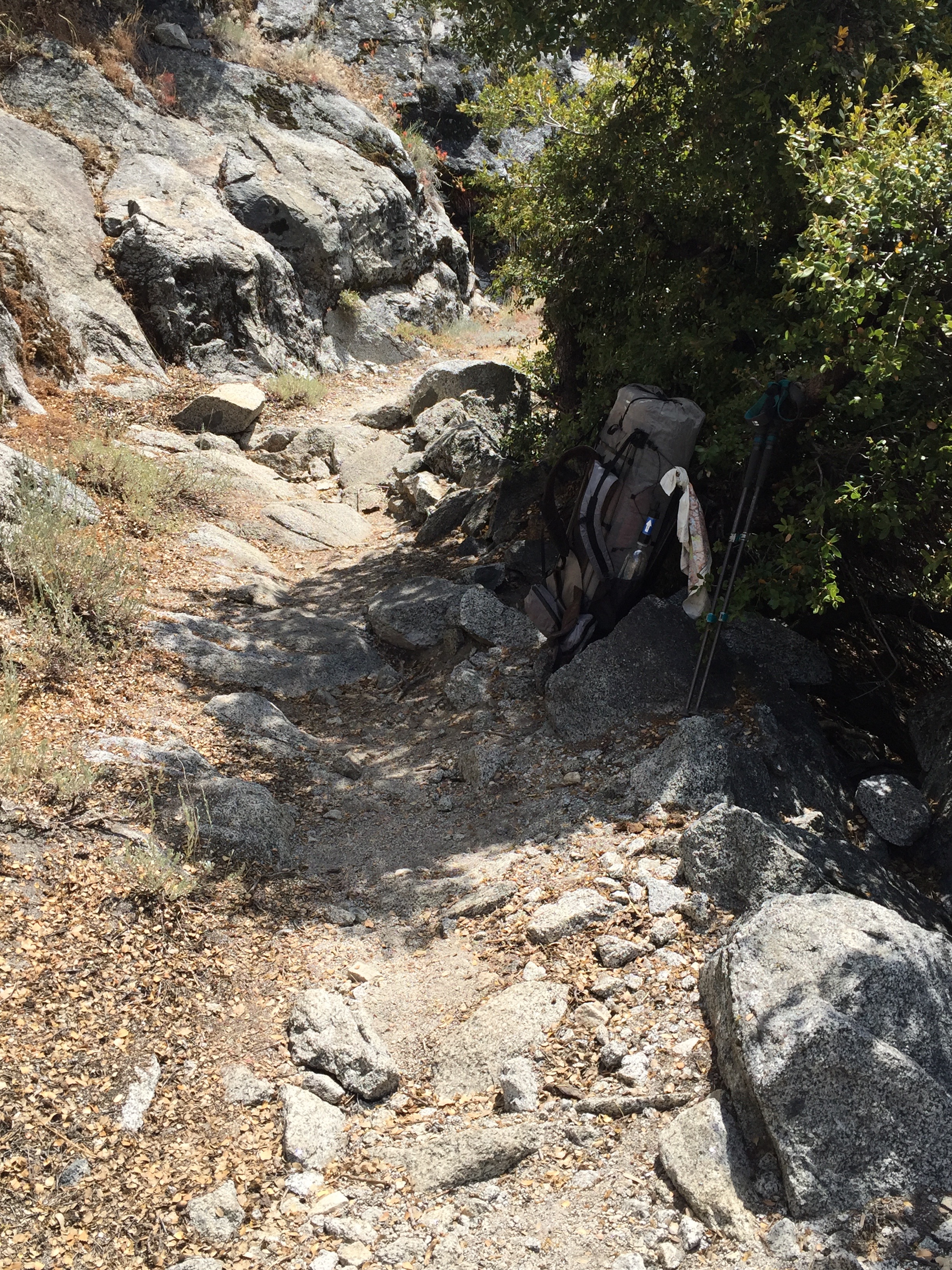
Finally, the switchbacks ended, at the trail junction with the summit trail and the trail that headed down some 5,000’ and 8.7 miles to the parking lot at Whitney Portal, and the store/restaurant’s ice cream and french fries. People are talking about what they are going to have to eat first. A parking lot! How novel! At the trail junction, everyone drops their packs to make the hike to the top relatively unencumbered. When we arrived, there were probably 20 packs lined up, and it was interesting to see all the different models and hiking styles represented there. mostly very nice technically-advanced stuff, like titanium bear canisters. Betty and I rested for a bit and organized our makeshift daypacks in anticipation of the summit. My “pack” was a small zippered container tied around my waist with Tom’s Roy Rogers bandanna. Such a useful item!

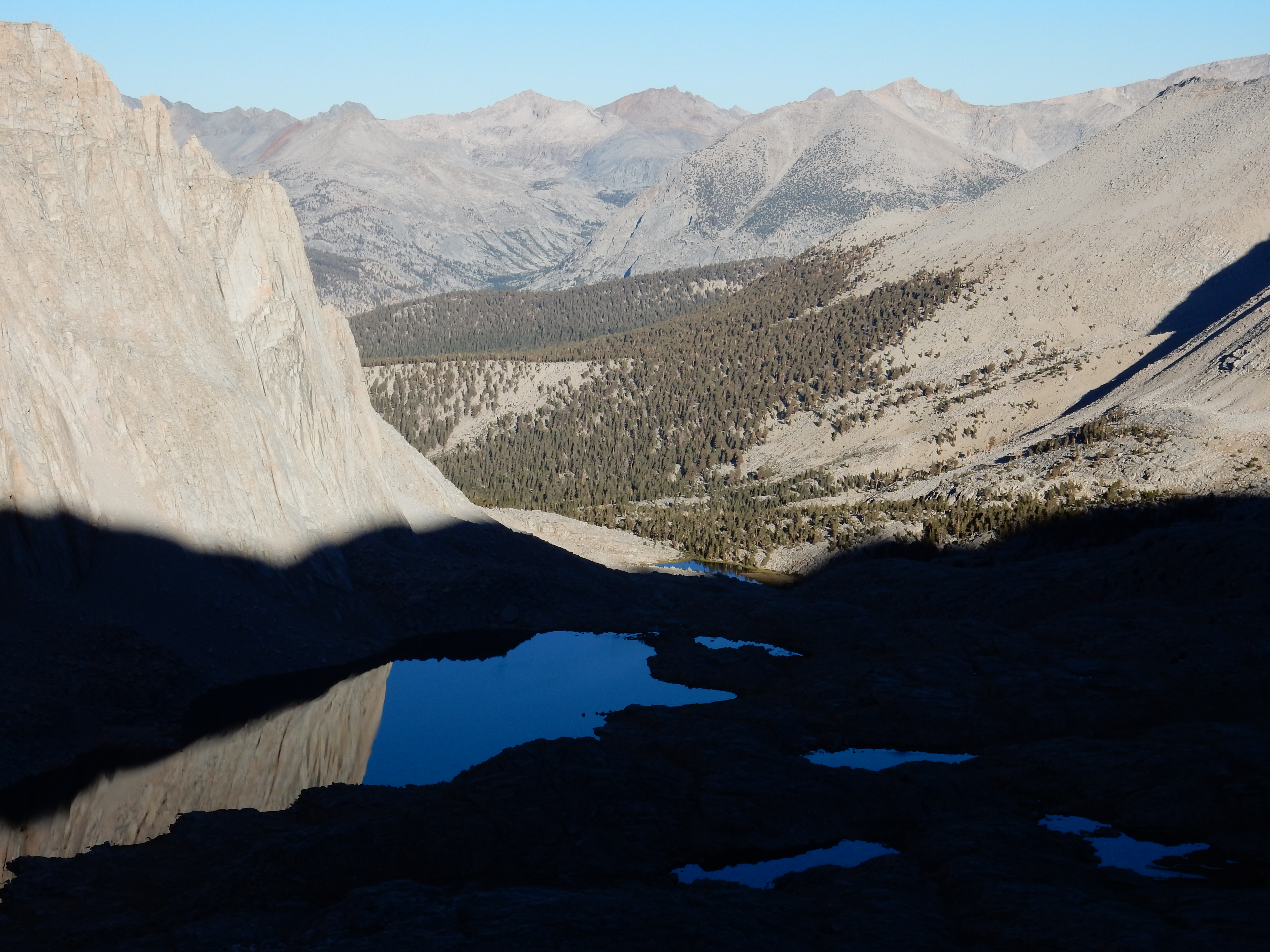
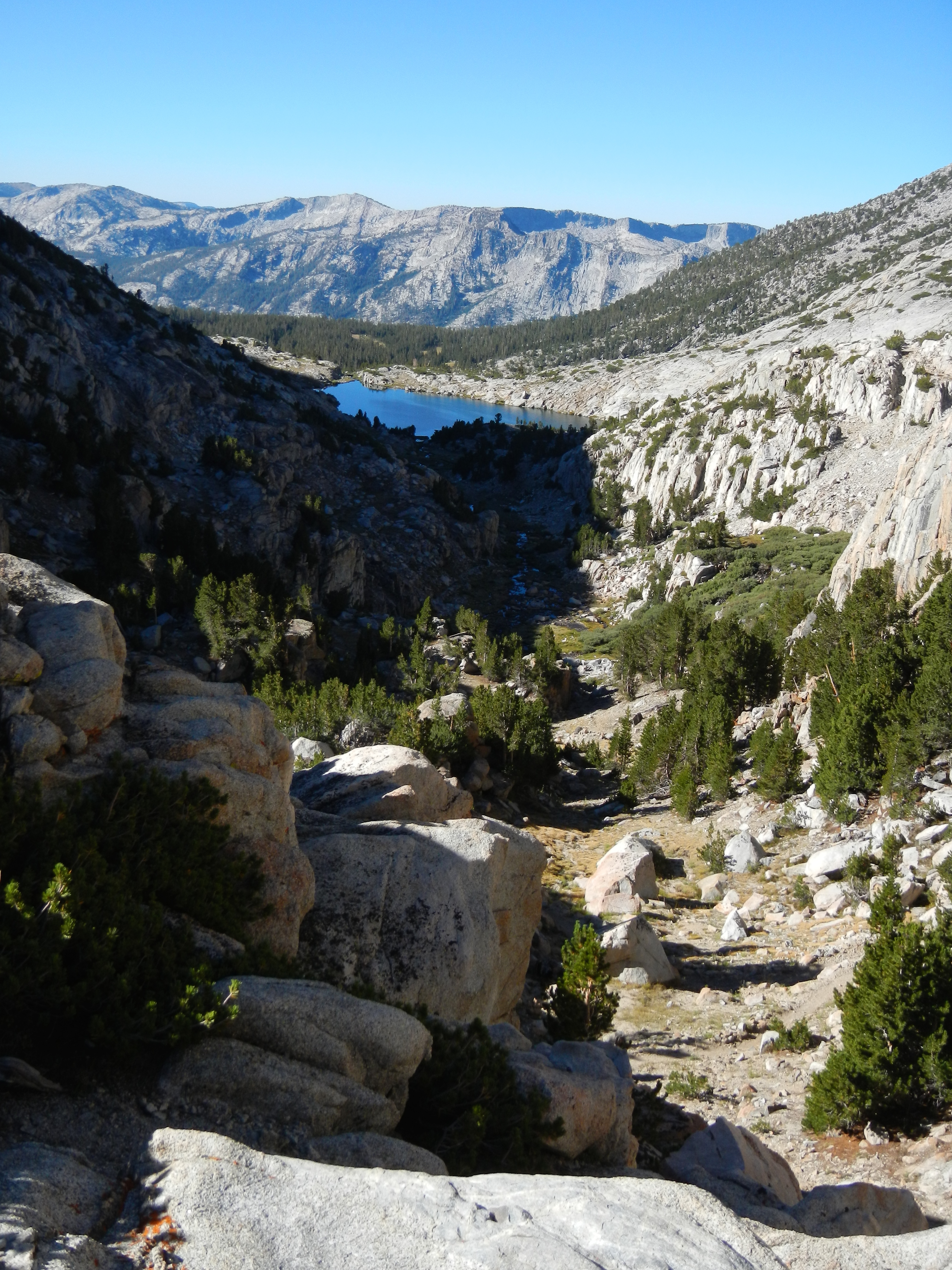
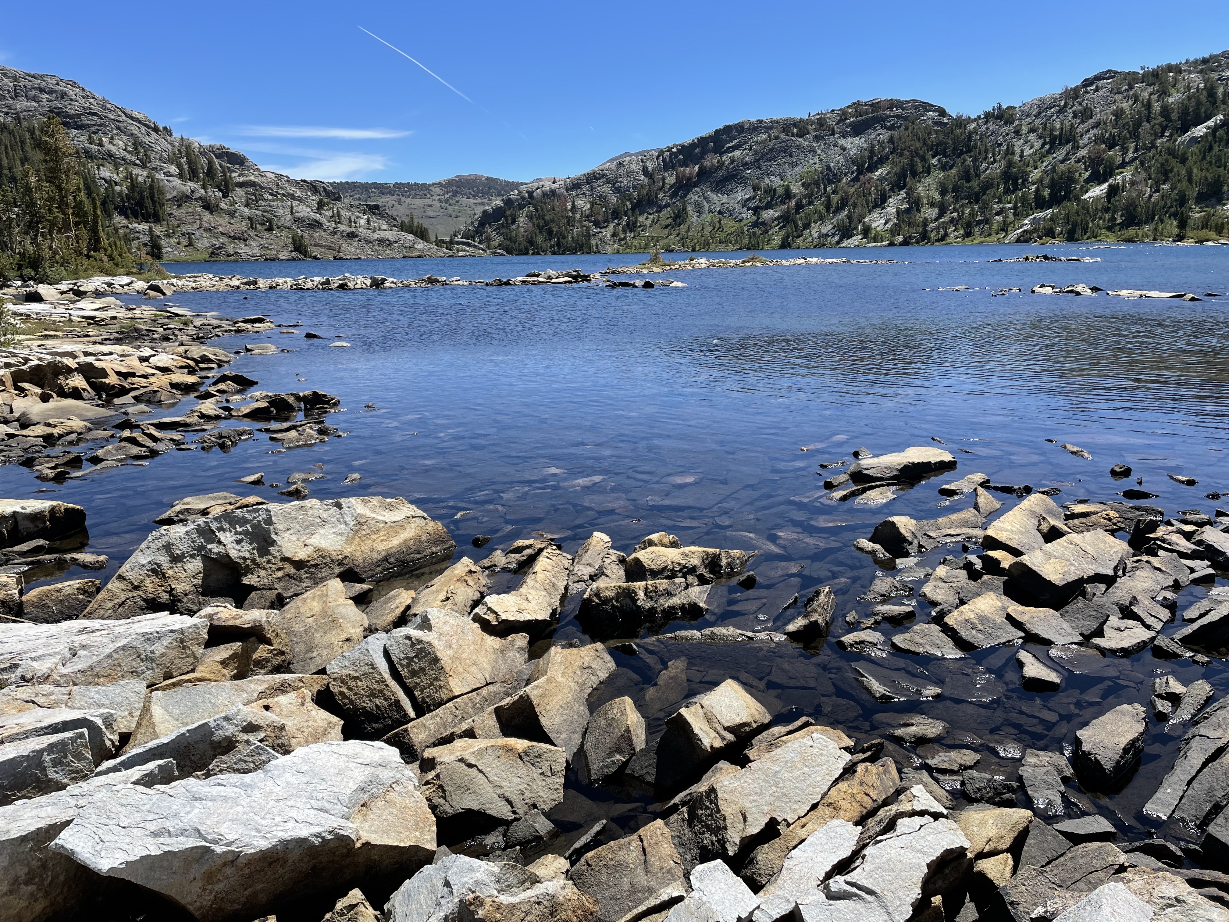
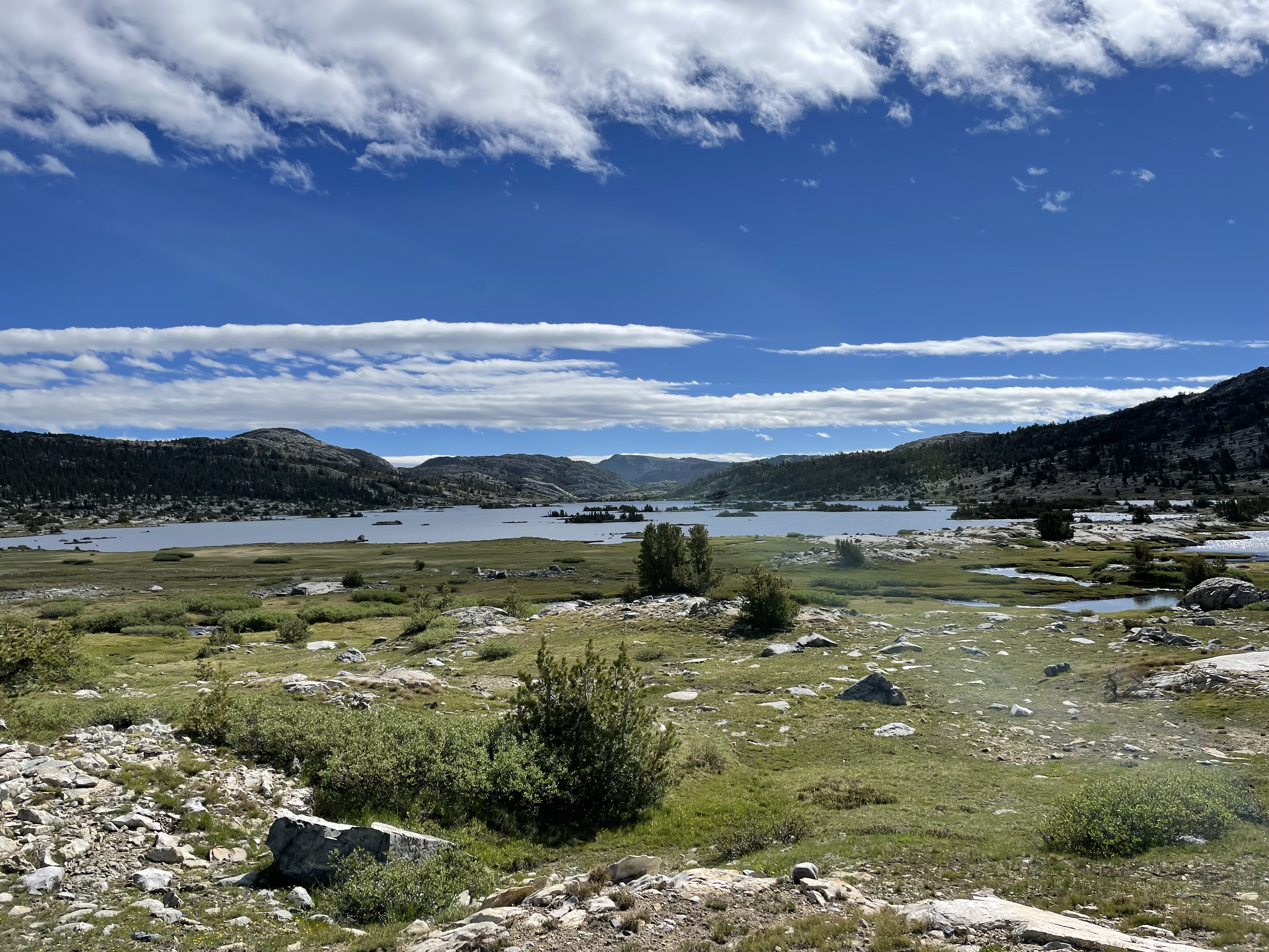
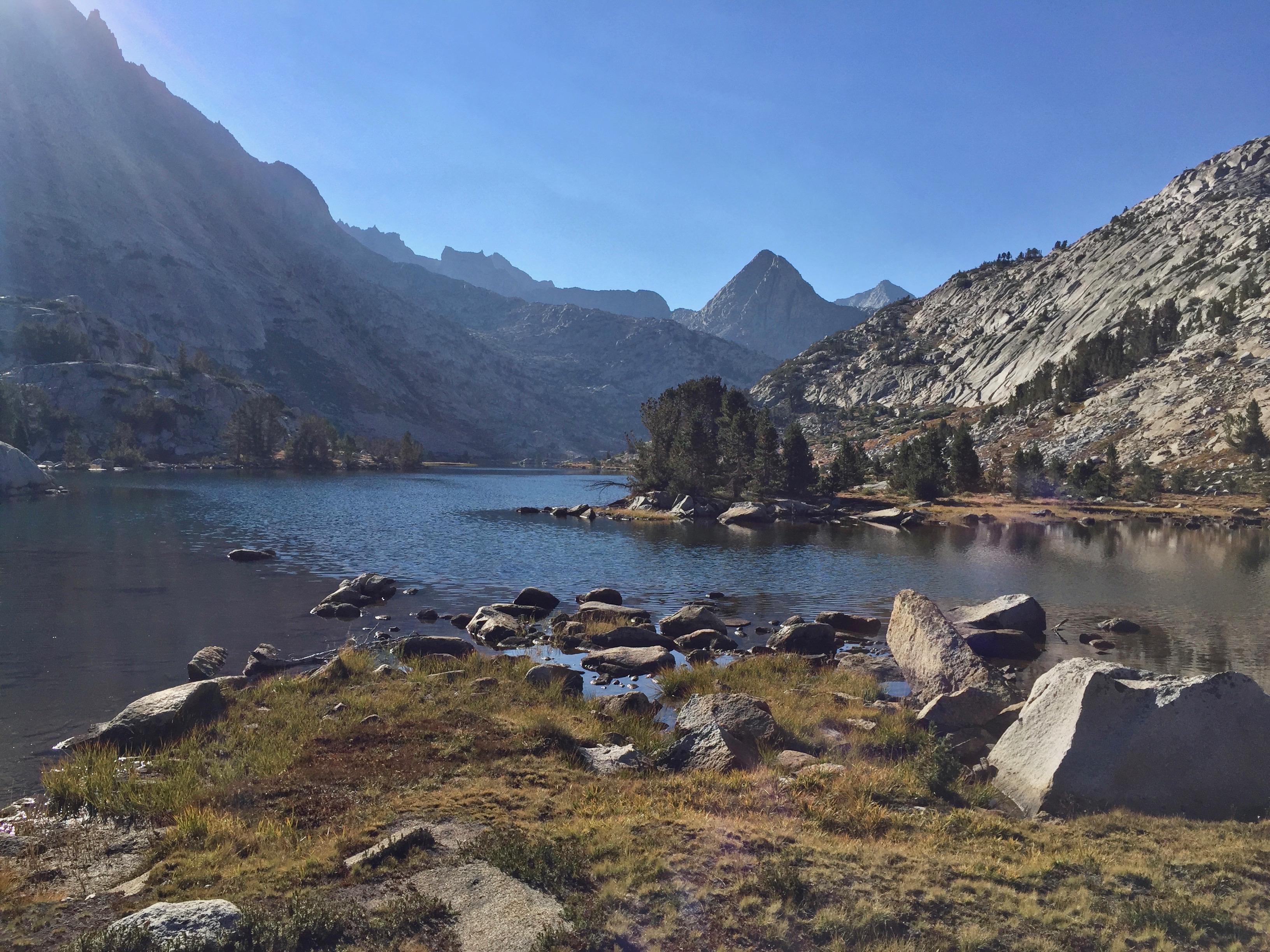
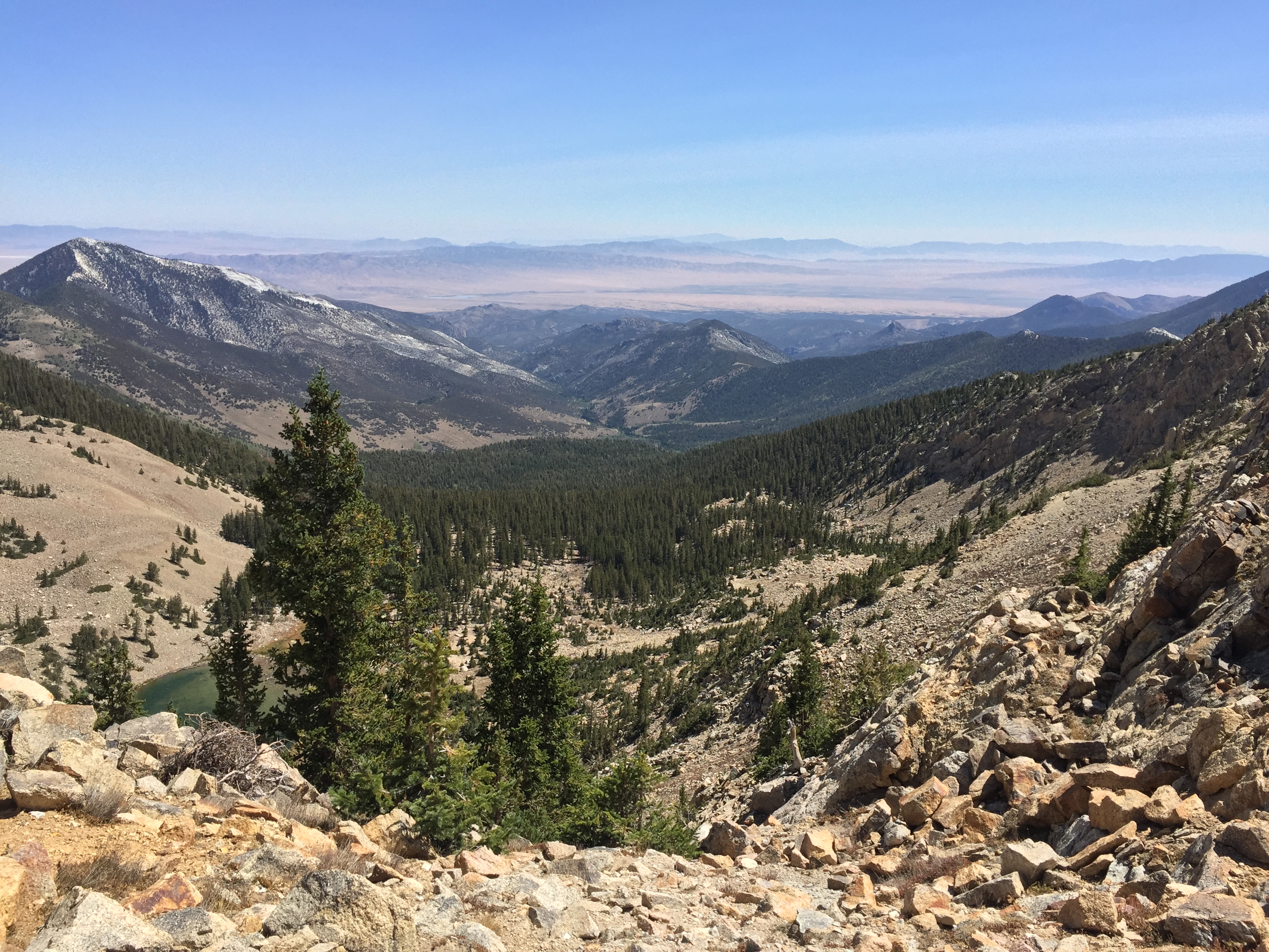
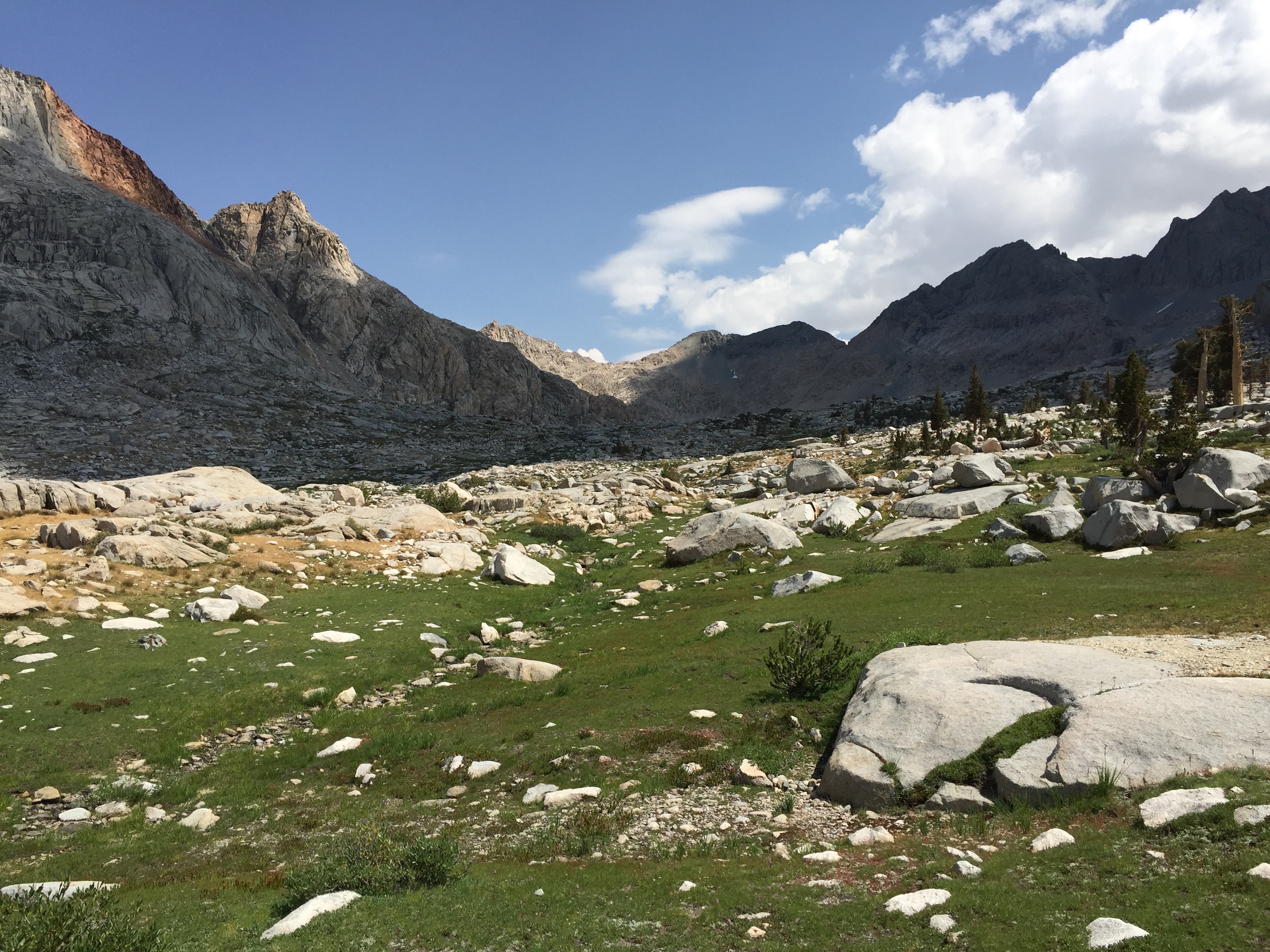
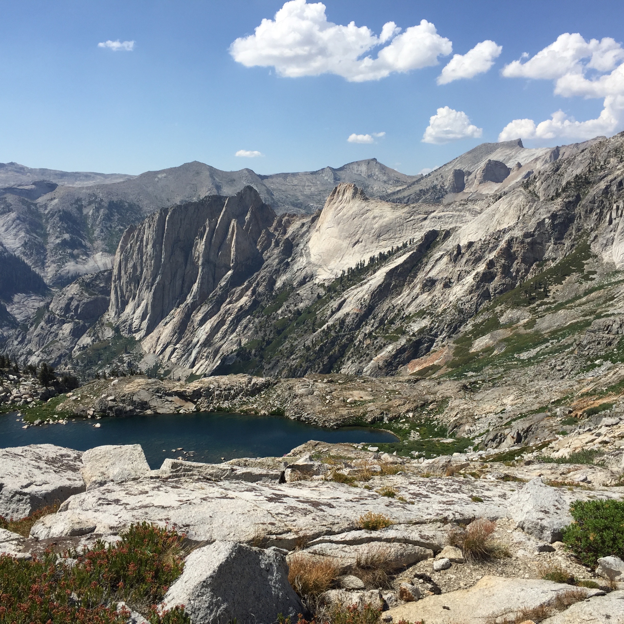
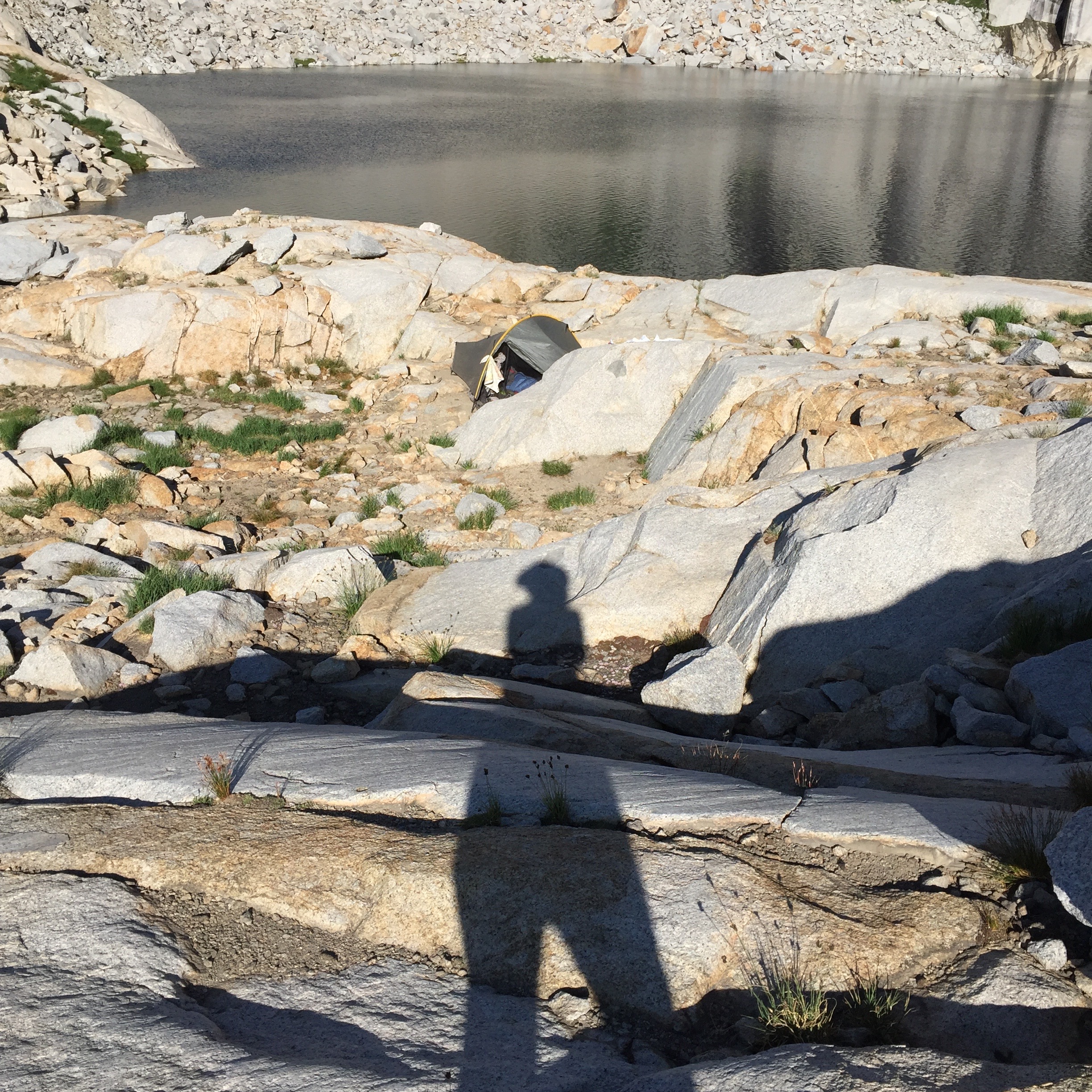
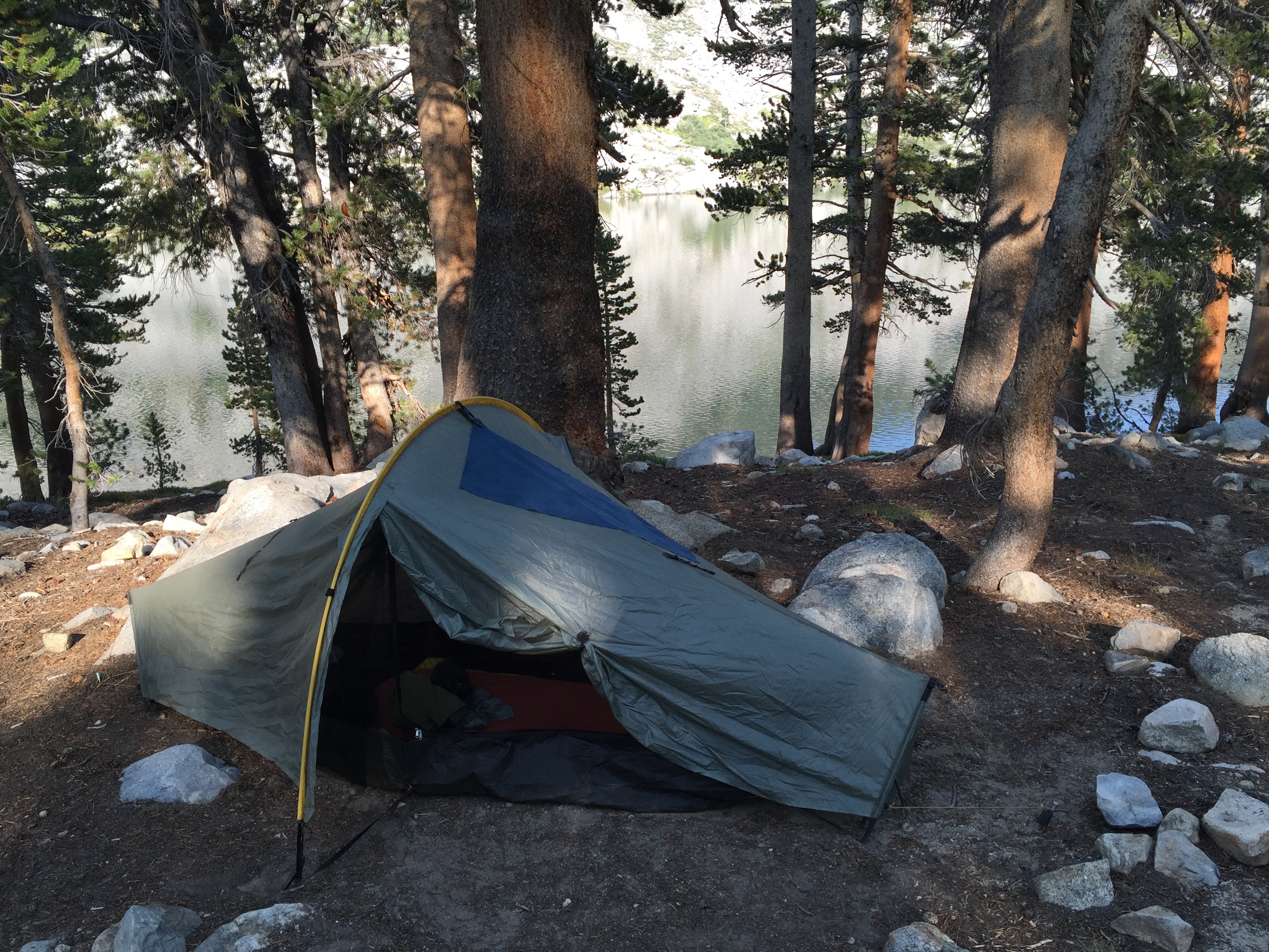
Guitar Lake and our little campsite tarn are way below us to the right. Photo: BW
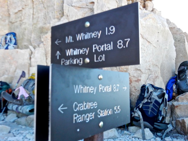
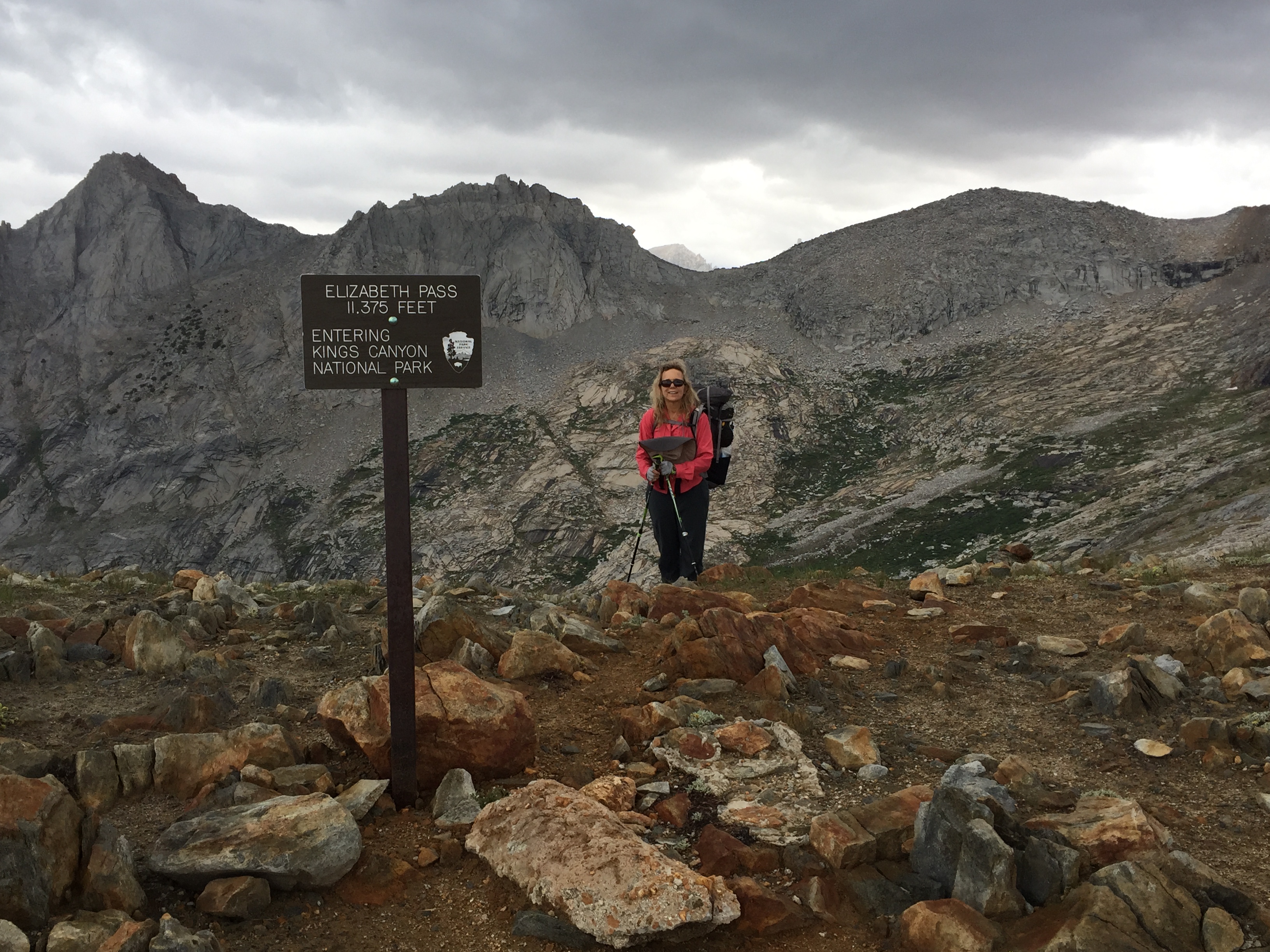
The trail junction sign, and backpack dumping ground. Photo: BW
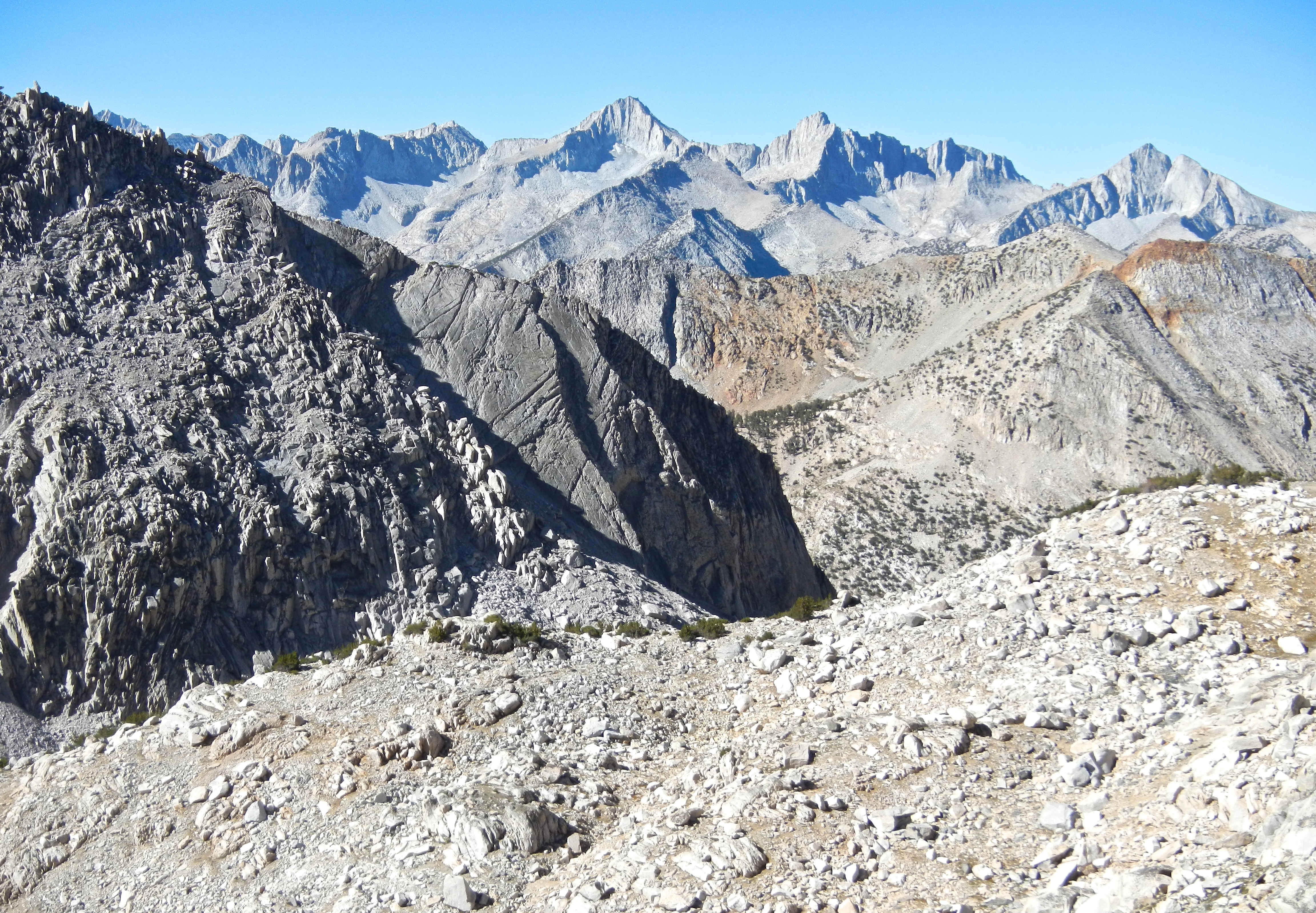
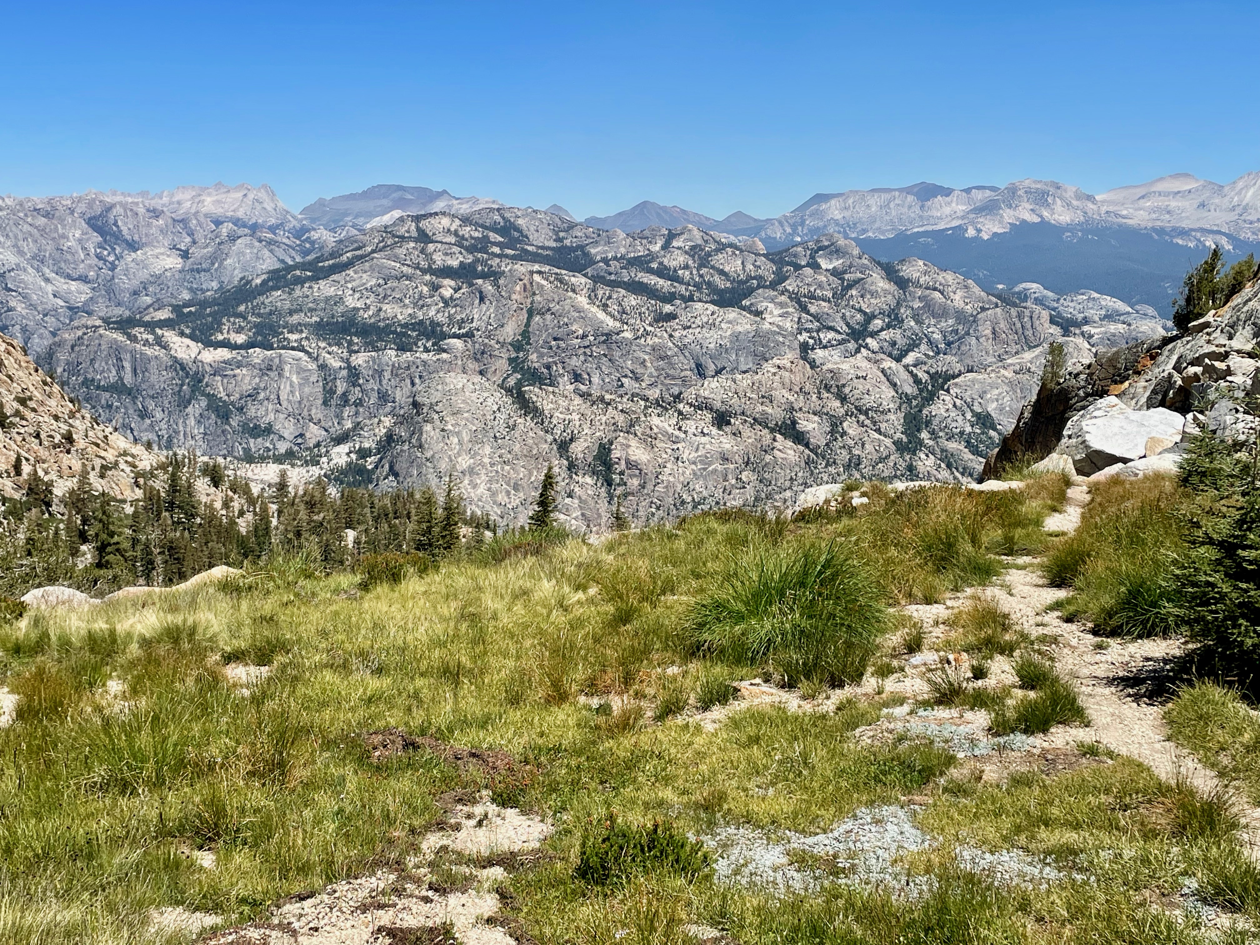
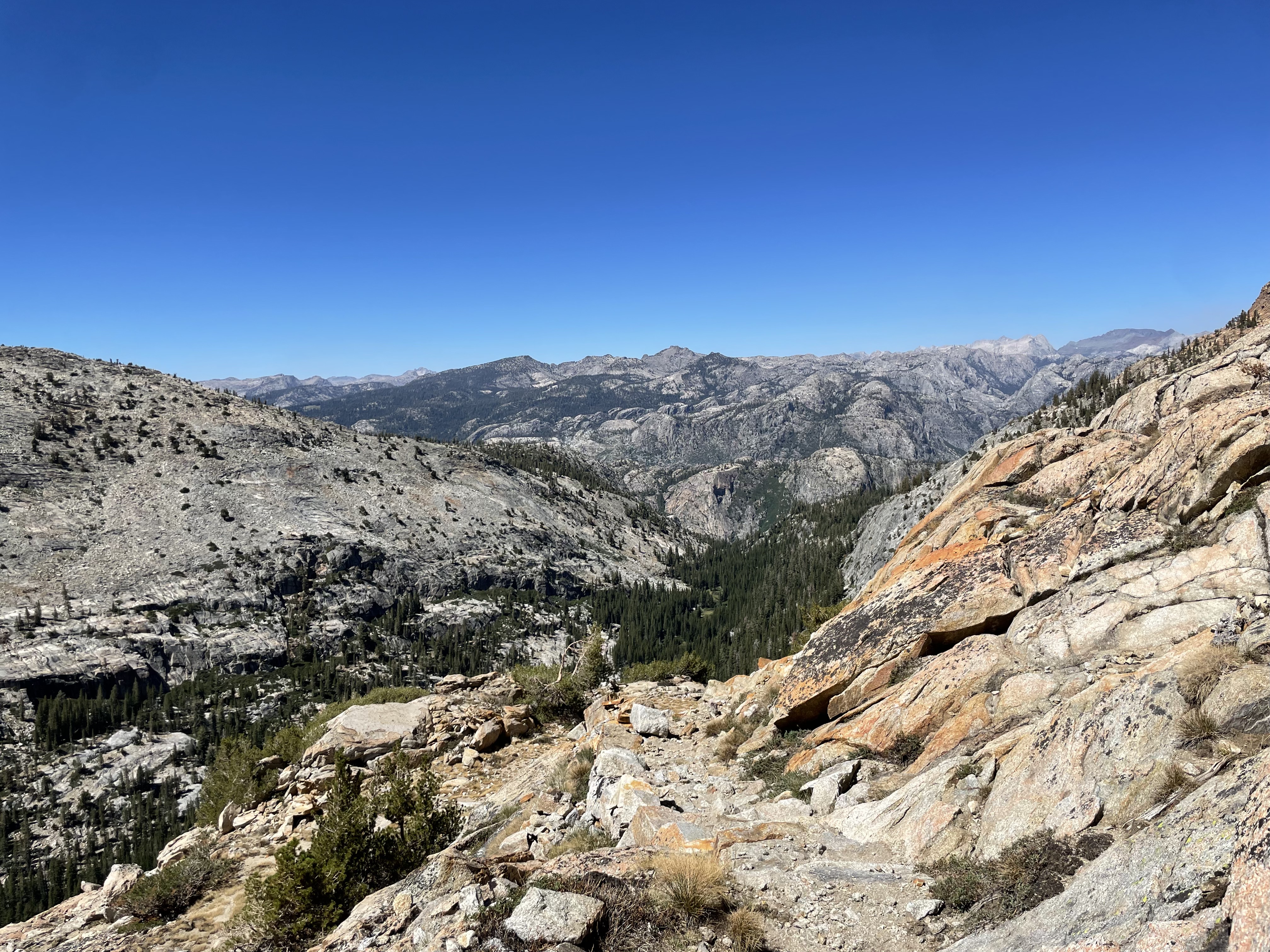
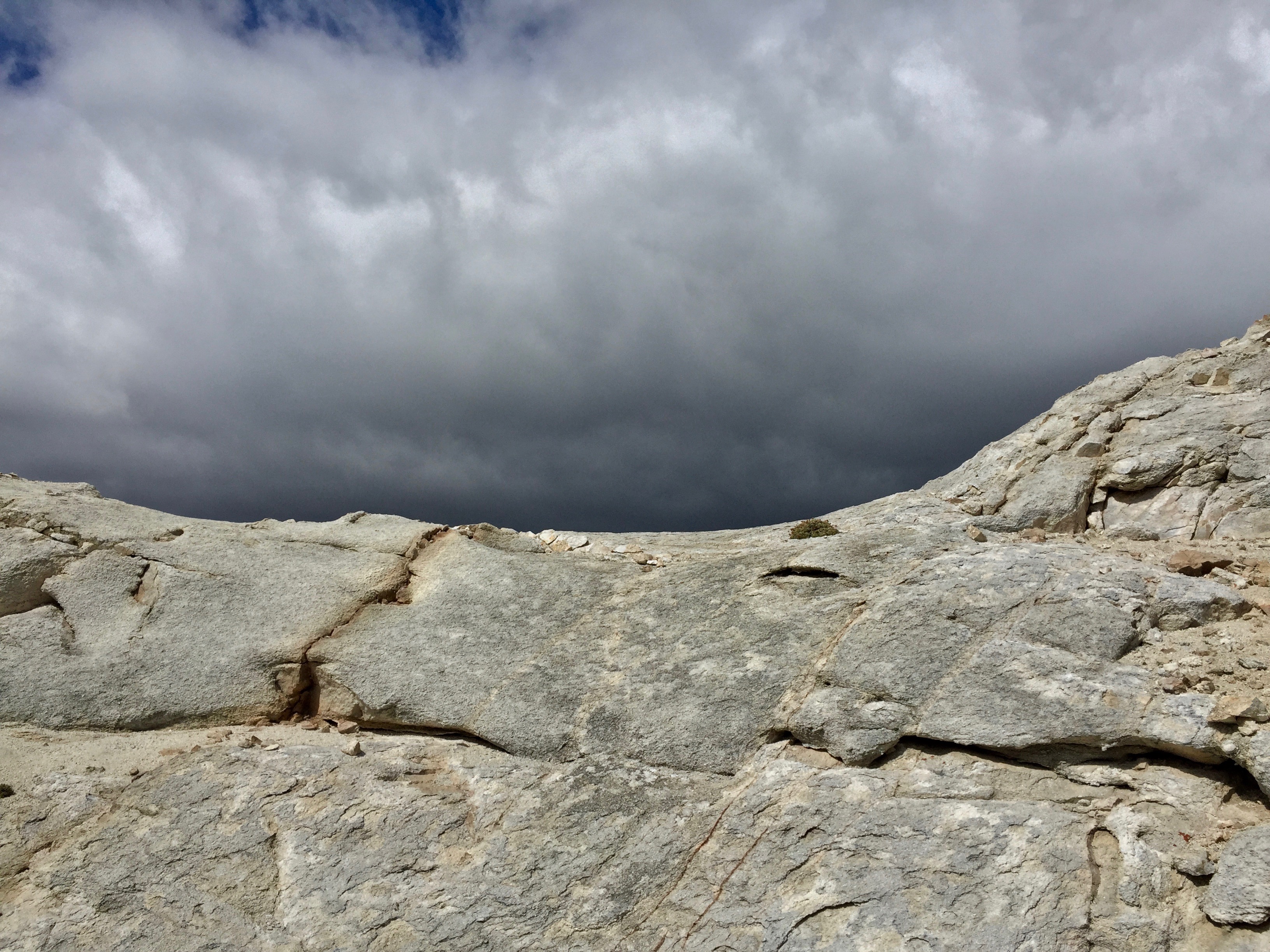
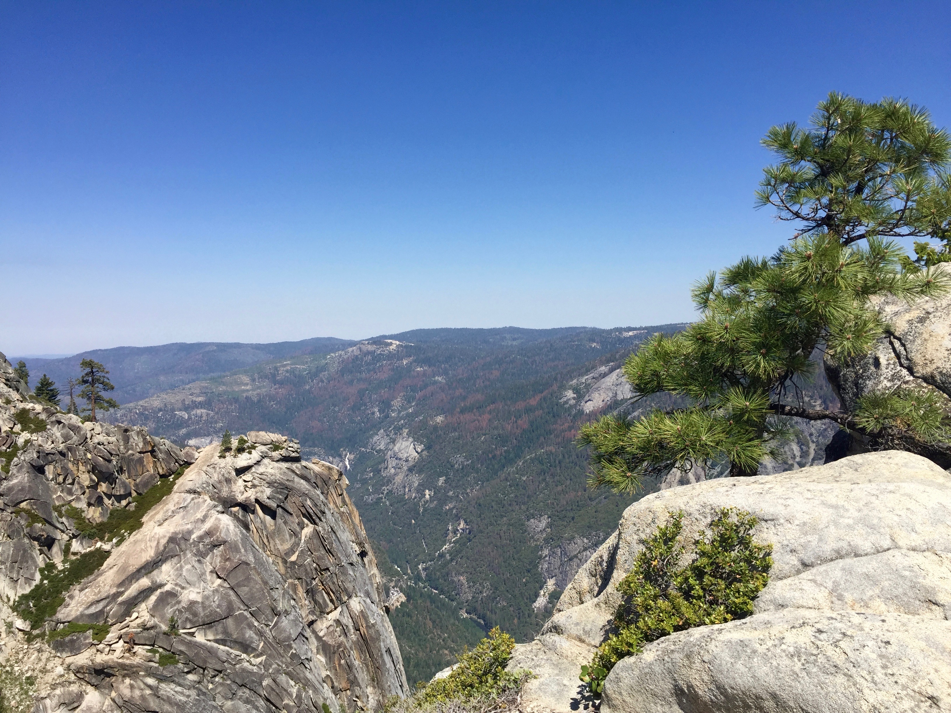
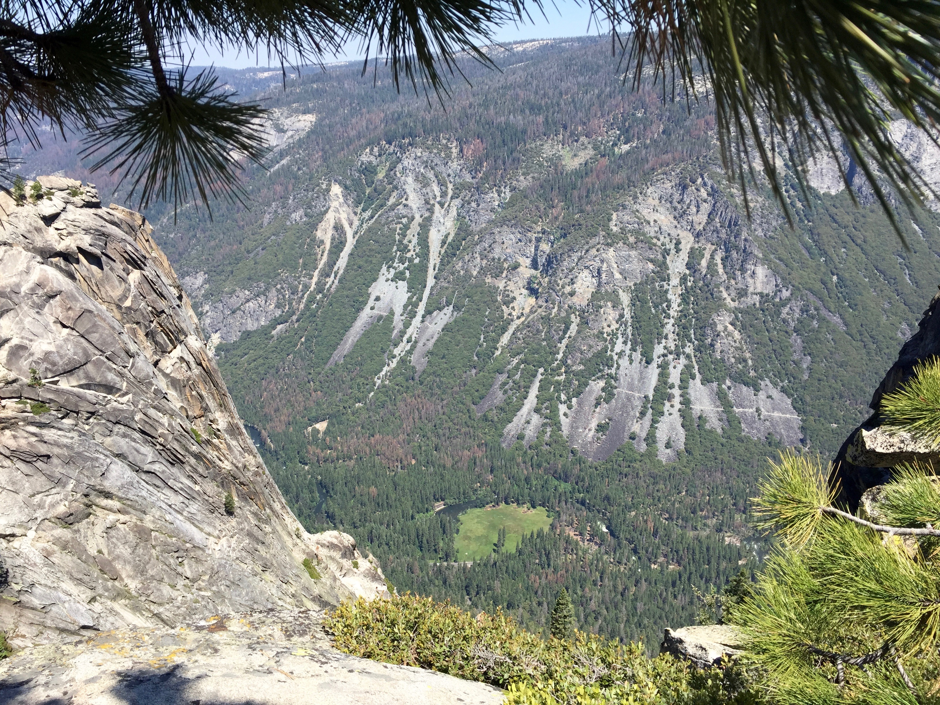
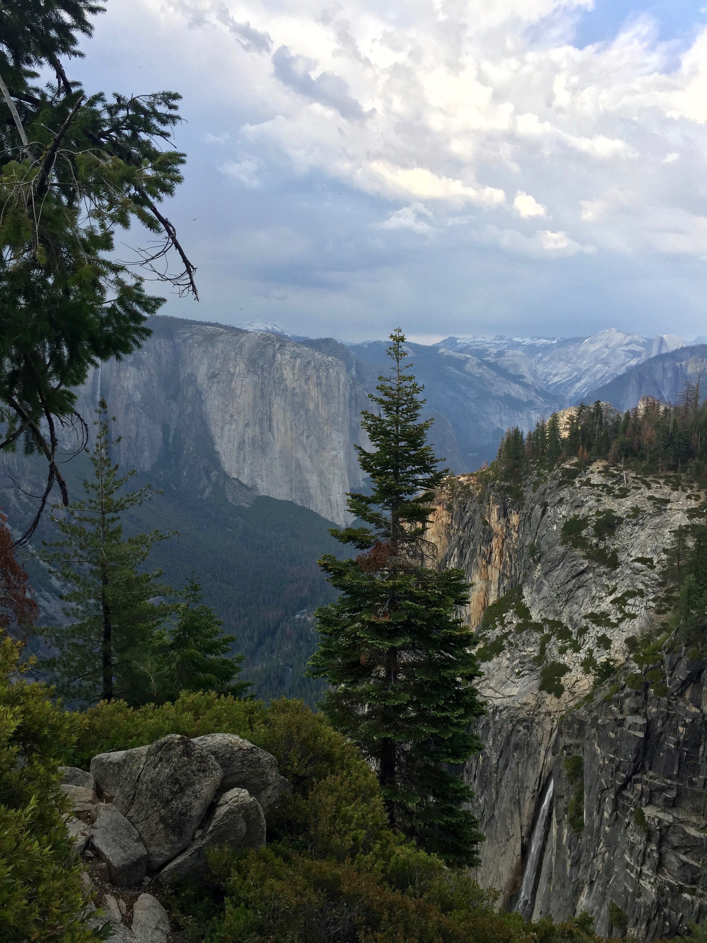
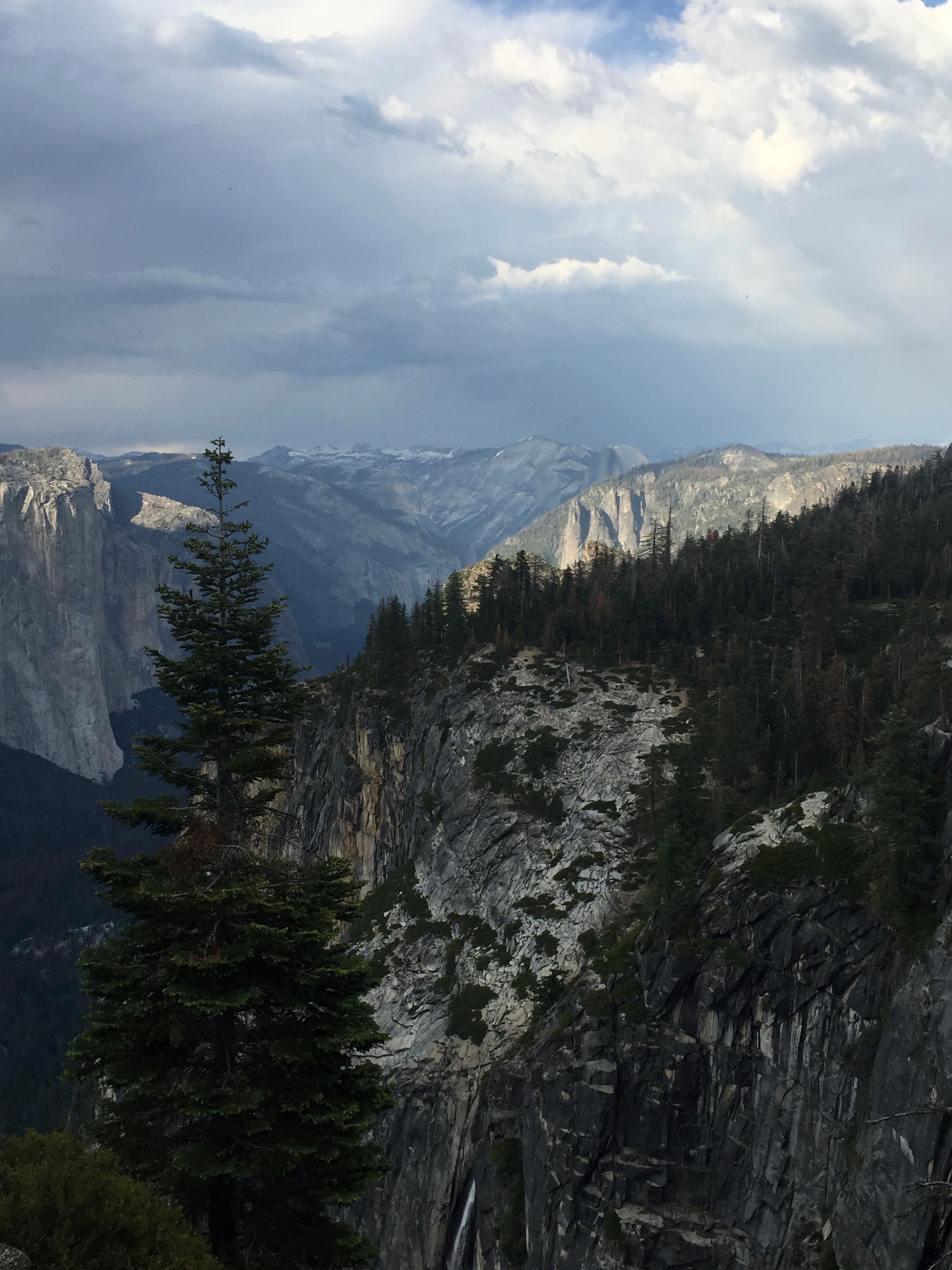
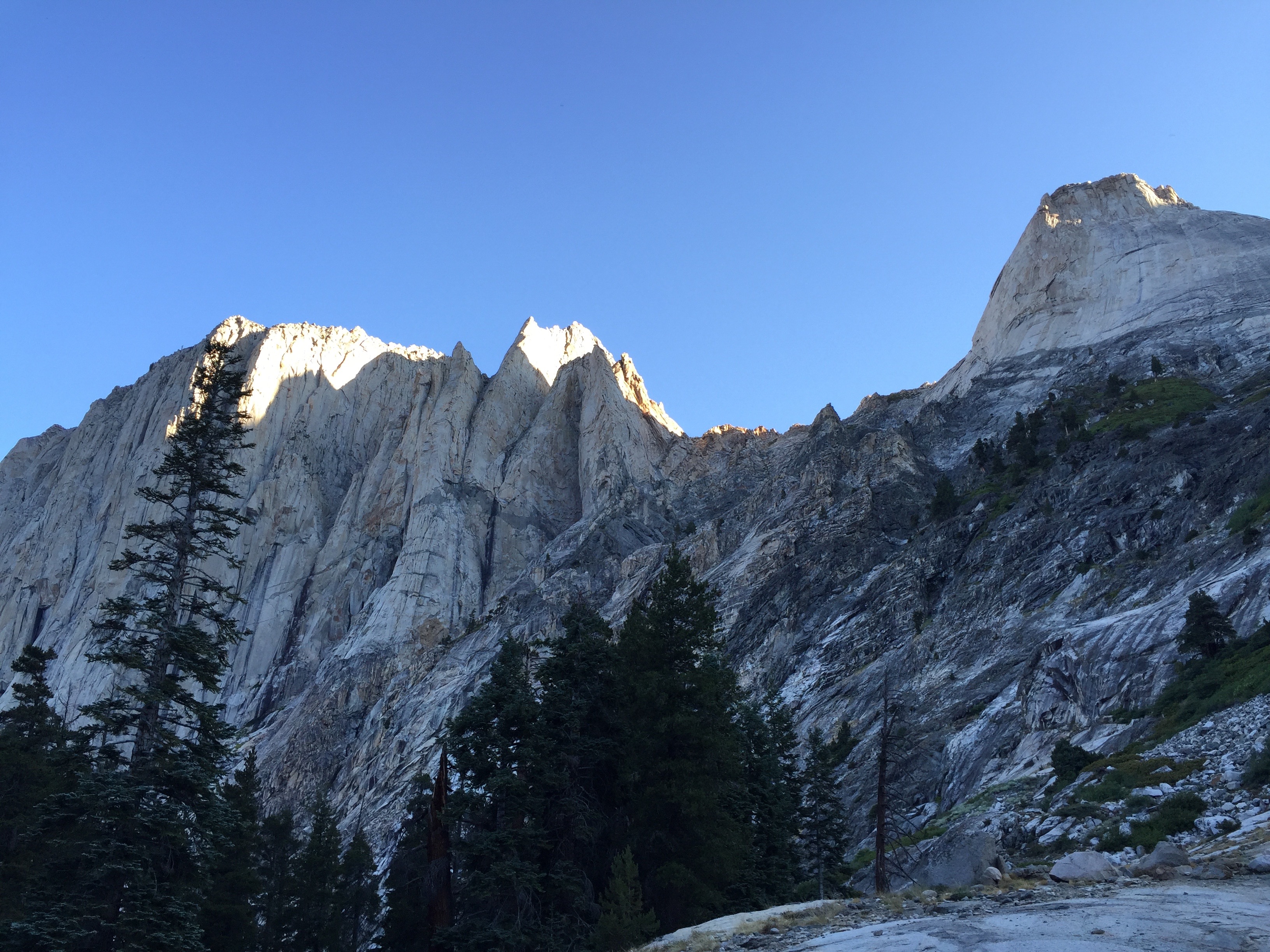
From the trail junction, the summit path gets very rocky, and we sometimes had to use our hands to climb over or around them. The downhill side of the trail drops off precipitously, with views of Guitar Lake, looking like a teeny-tiny ukulele below us, and spires of broken rock rising above us. We crept along the edge, fighting off vertiginous feelings, up and up the long (1.9 mile) spur trail to the top of Whitney. Every once in awhile, the trail comes to a saddle between the east and west sides of the ridge, and a window opens up to the Owens Valley, 7,000’ below us. Breathtaking! Finally, the trail turned west and wended its way over the broken granite slabs that make up the surface of the highest point in the Lower 48, at 14,505’.

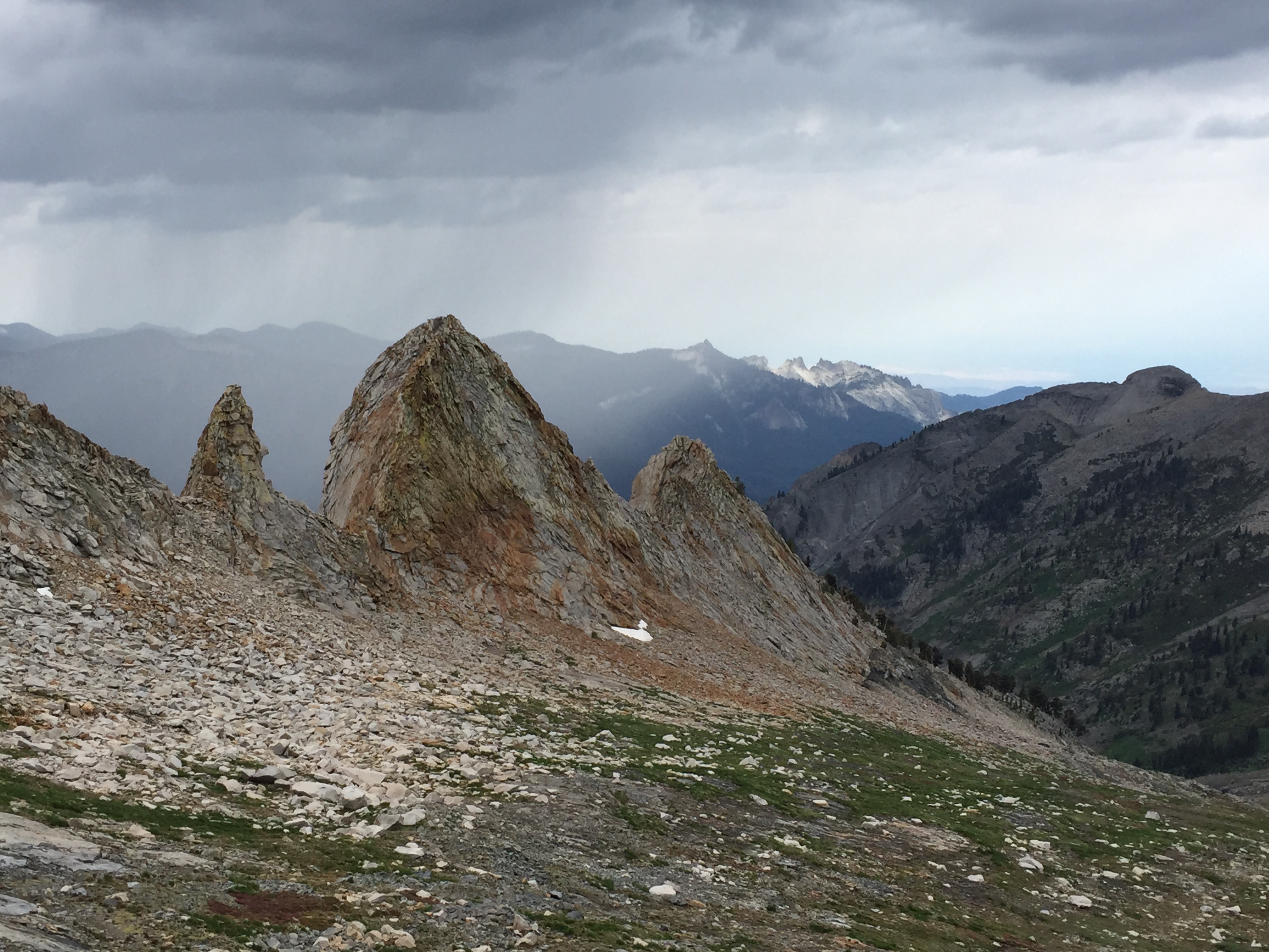
The trail from the junction to the top of Whitney was crazy with fractured rock spires. Photo: BW

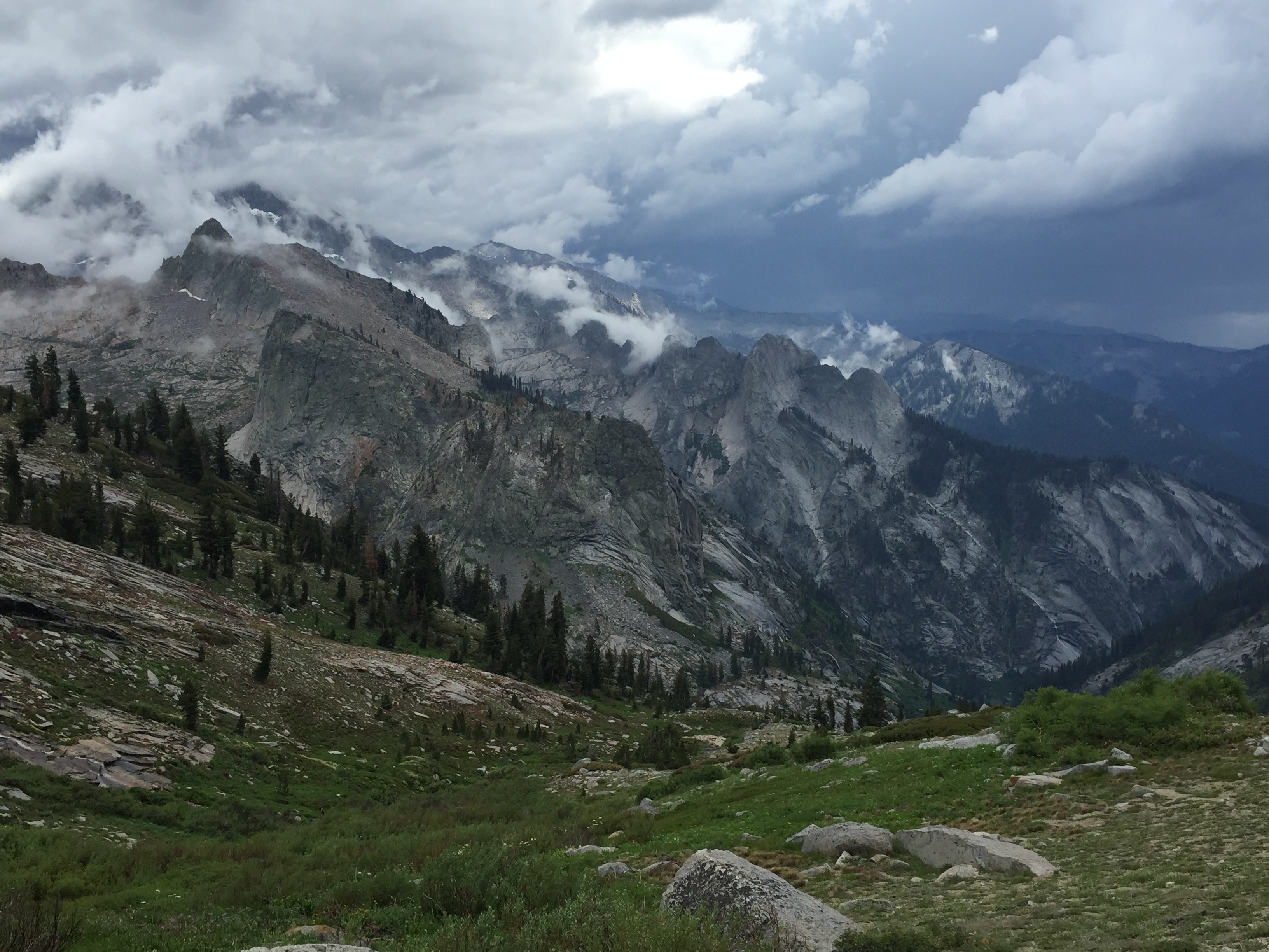
Another view of the trail. Photo: BW

One of the “windows” that open suddenly to the other side of the ridge. That is a long, long ways down! Photo: BW
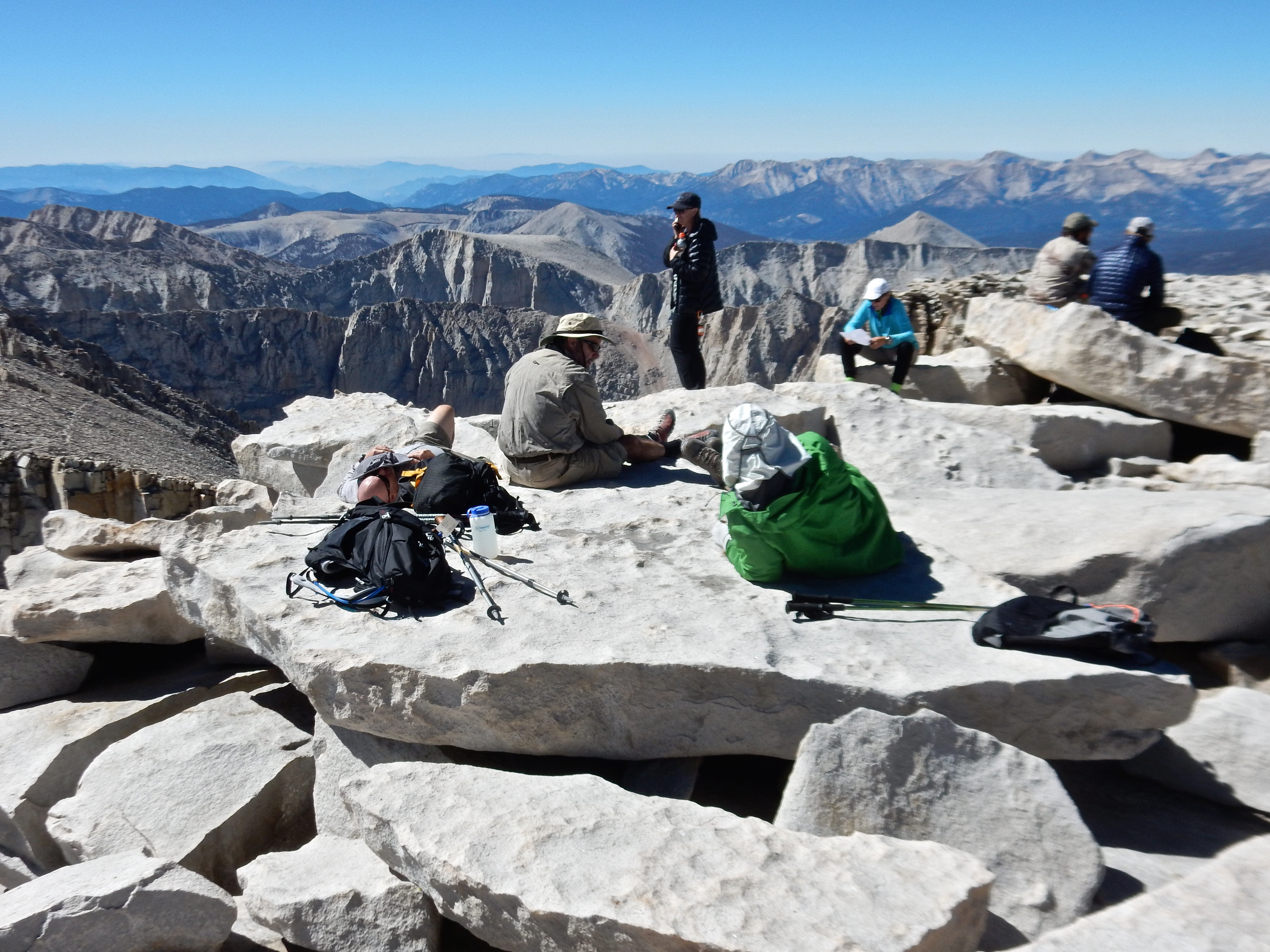
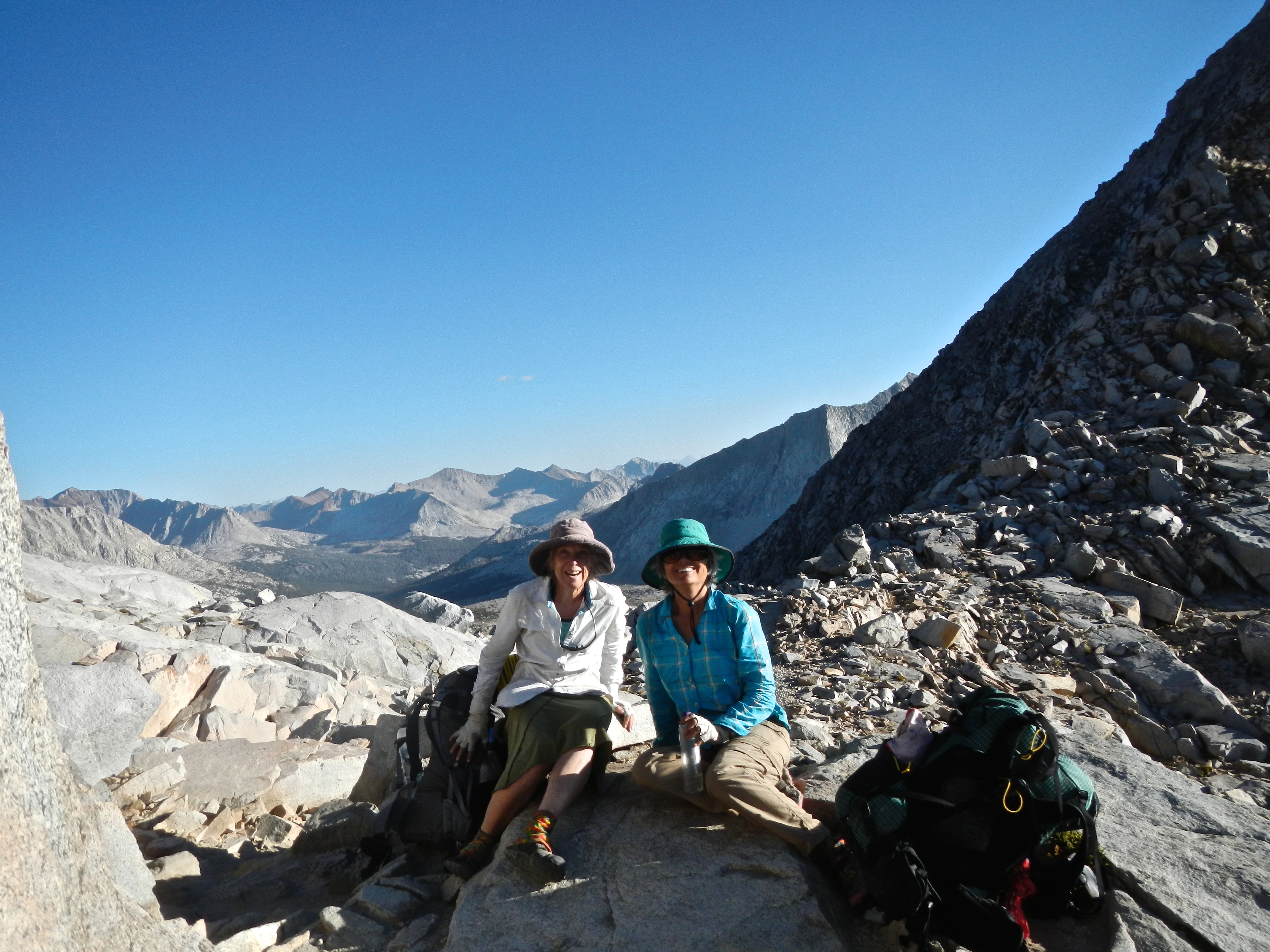
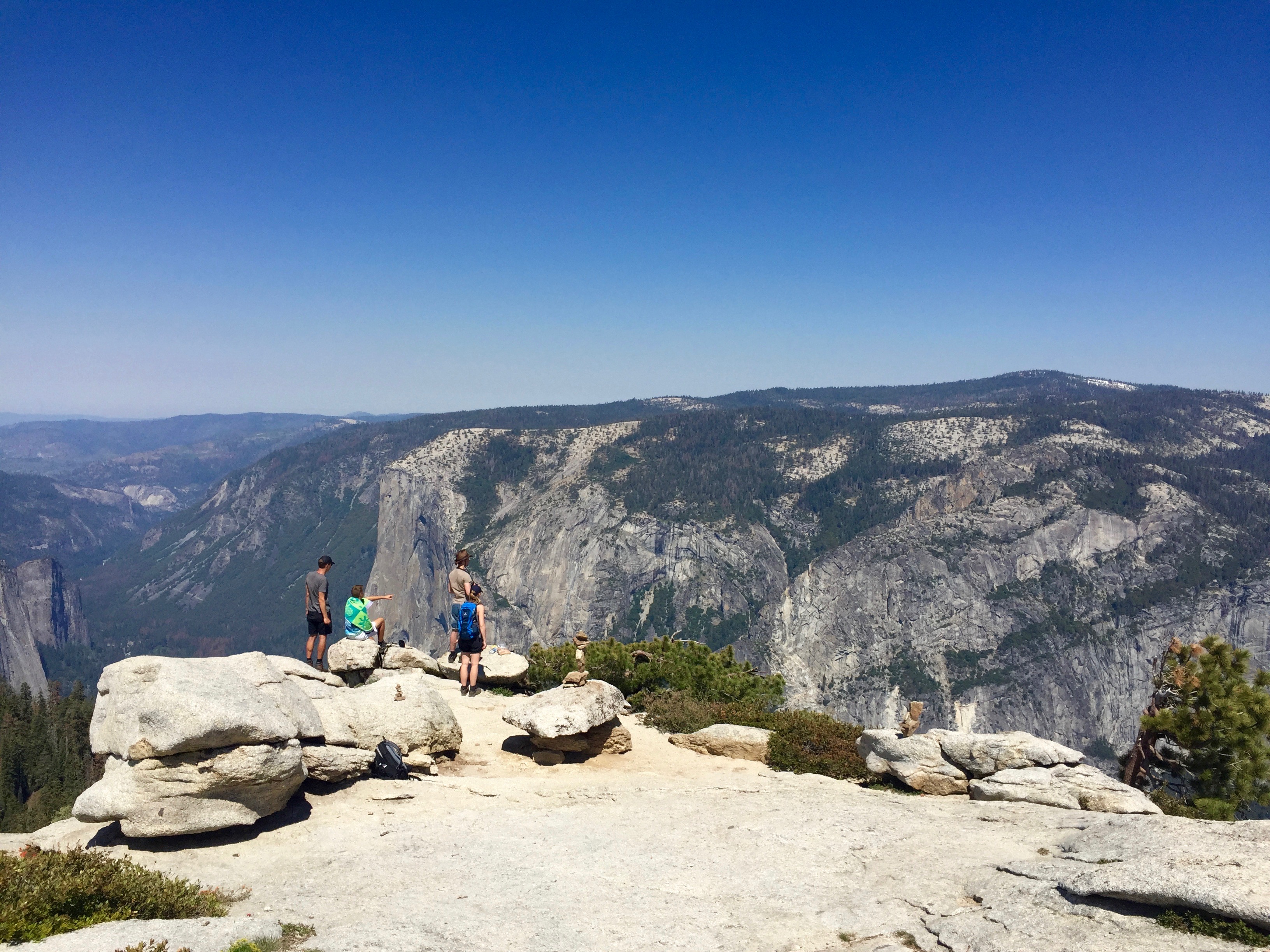
When we got to the summit, we found probably about 20 or 40 fellow-hikers spread out over the large gently-sloping carapace of broken granite slabs. You could walk straight up to the edge, which fell away to the valley floor far, far below.

Hikers lounging about on the top of the world. Photo: BW
The weather was perfect, warm and fresh with a gentle breeze. I called my mom from the top, but realized that while I was on the phone I had to close my eyes to prevent vertigo from overtaking me. Move away from the edge! Betty and I signed the log book at the summit hut, and a man told us that this day, September 3, was the 50th anniversary of the passage of the Wilderness Act. It was signed into law by a nearly unanimous Congress. I think there was one lone dissenter (a Democrat defying the Democrat President L. B. Johnson). Can you imagine that??! I am full of gratitude for the trail builders, the preservationists, the visionaries, the politicians who made it possible for us to spend 22 days in such uninterrupted Beauty.

Signing the logbook, Sept 3, 2014, on the 50th anniversary of the passage of the Wilderness Act. Photo: BW

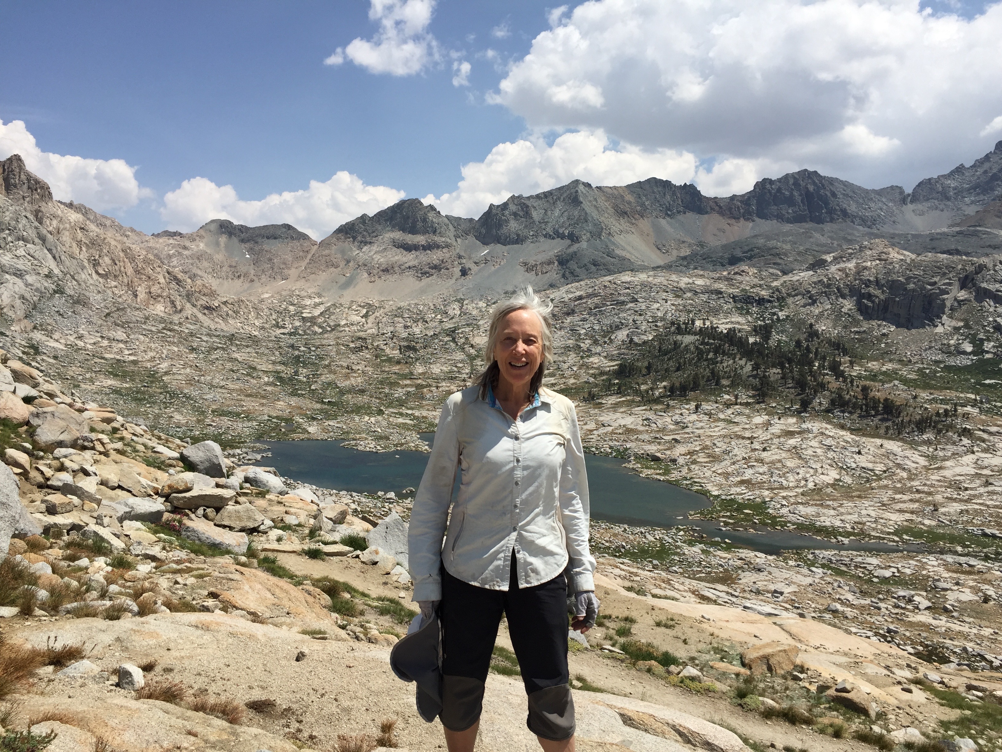
Betty the Giant and her little sidekick.

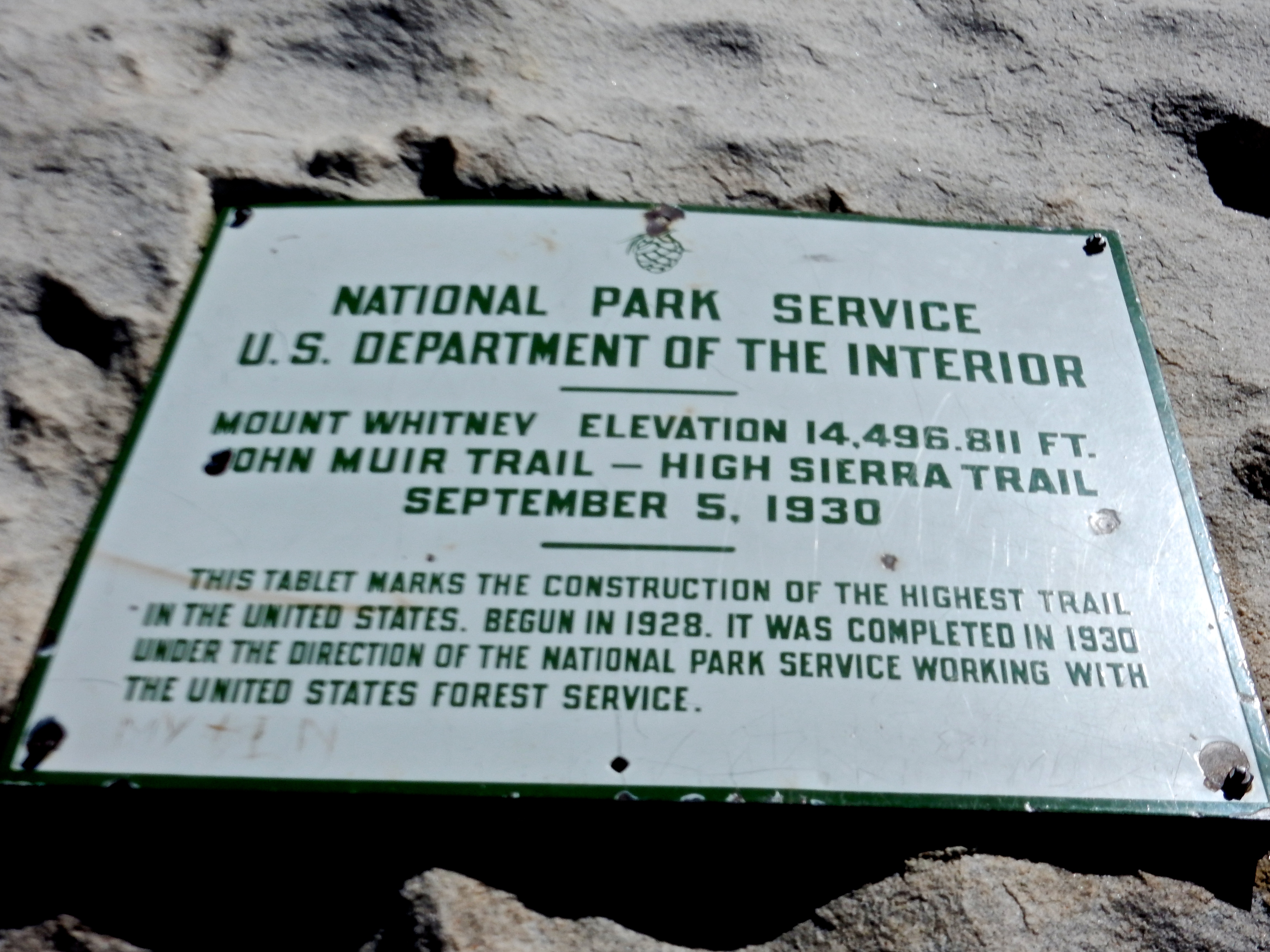
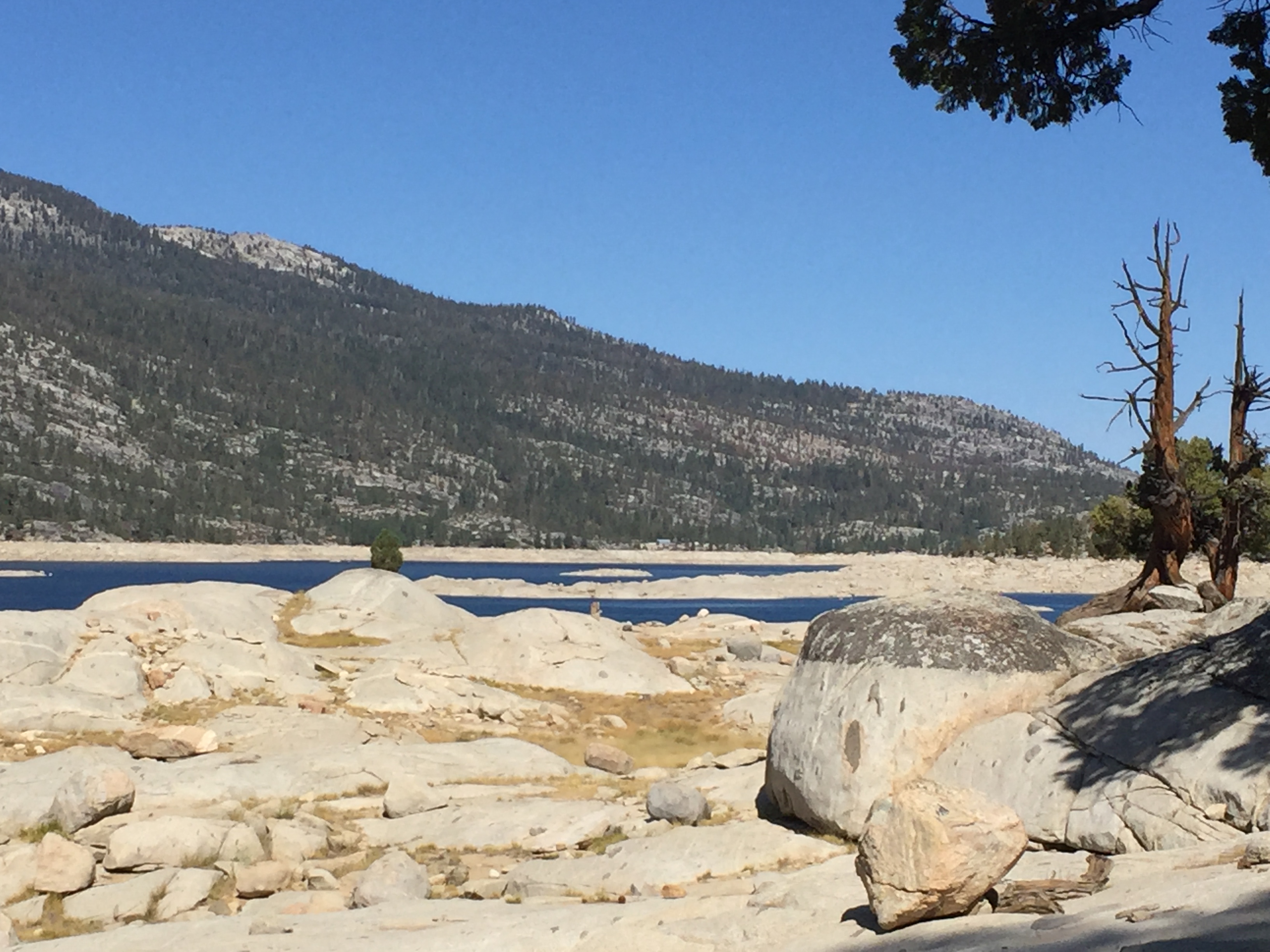
Nice sign, but the elevation listed is no longer correct. Apparently, the depletion of groundwater has made the entire Sierra range higher. Photo: BW

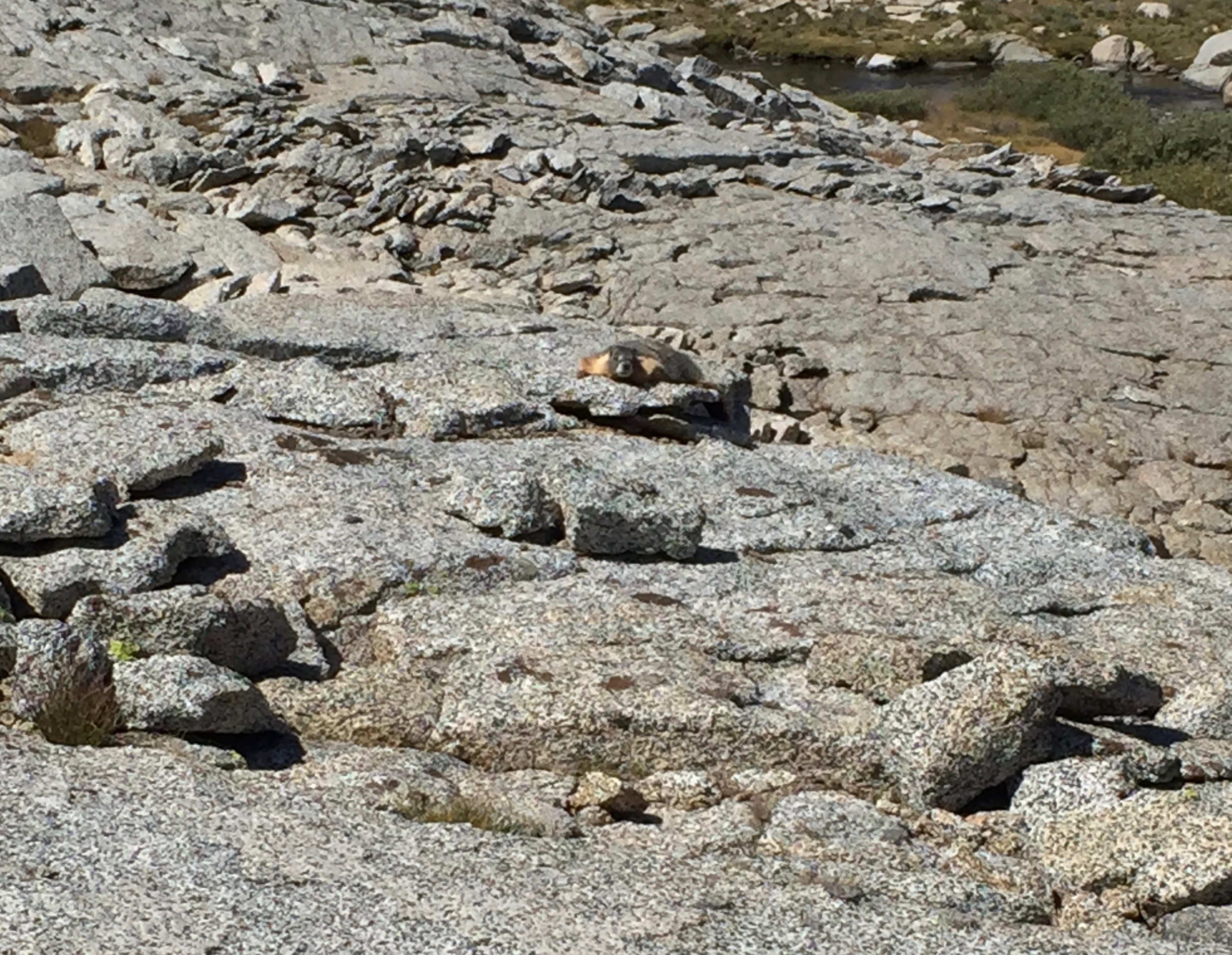
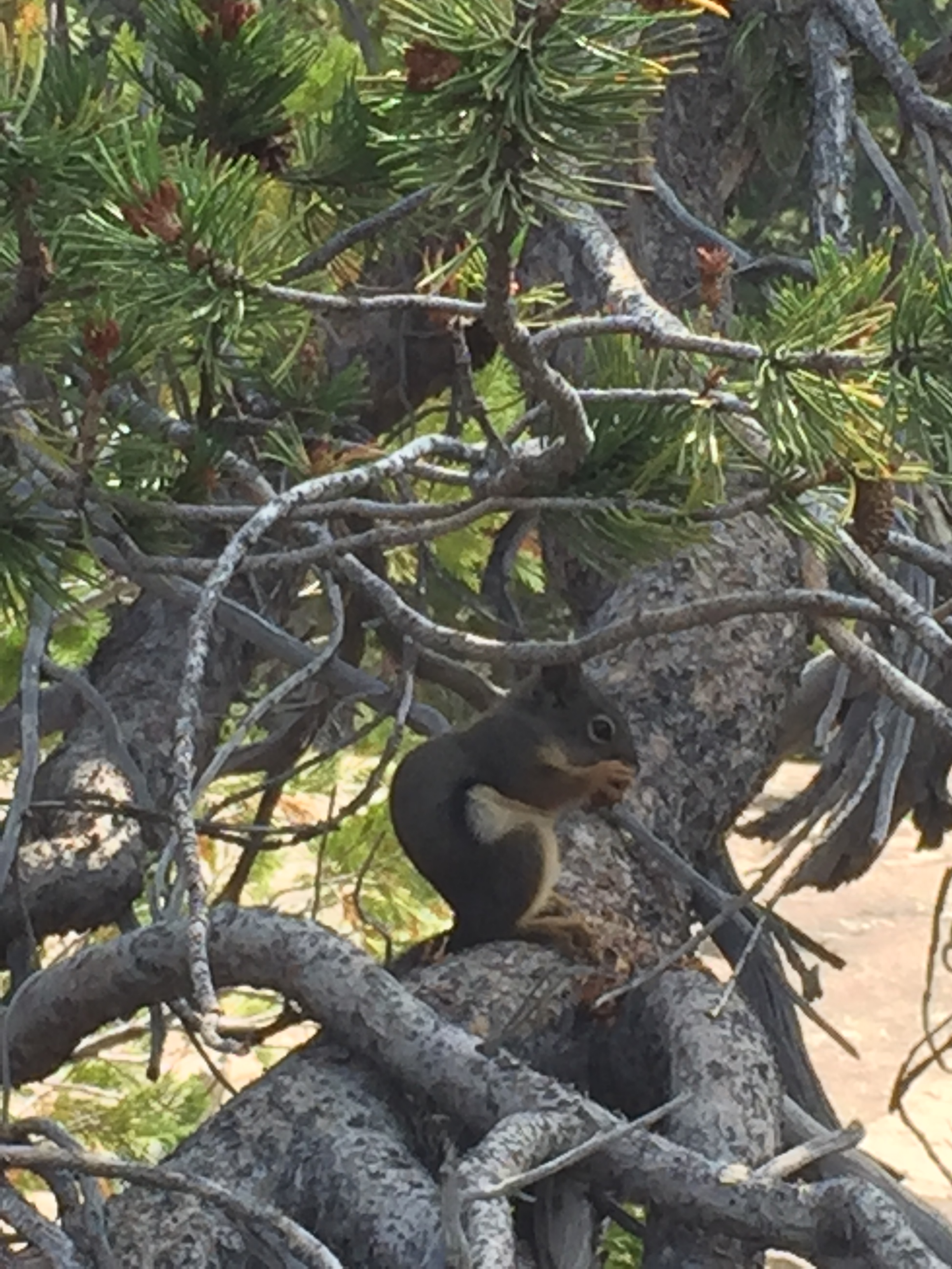
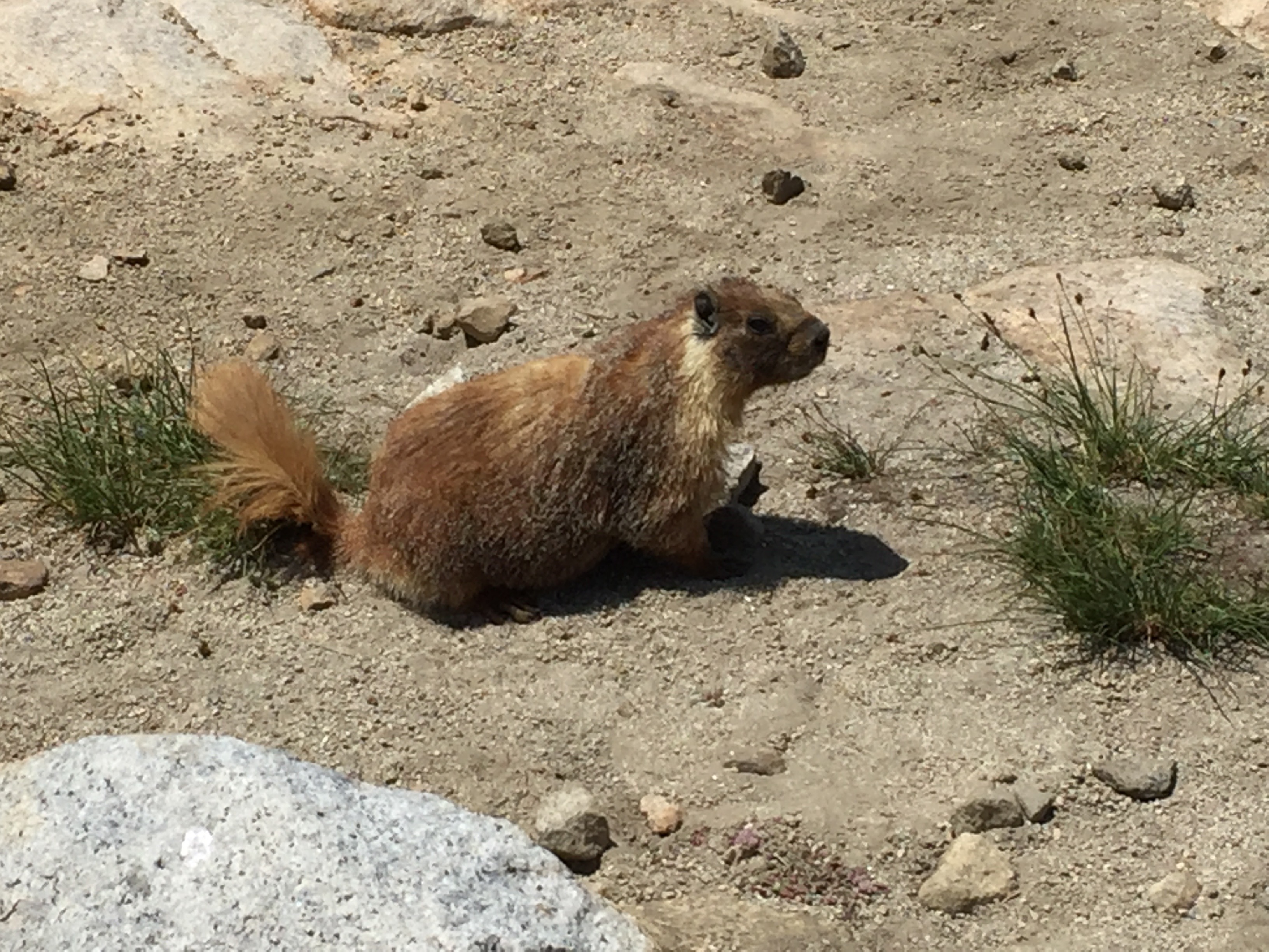
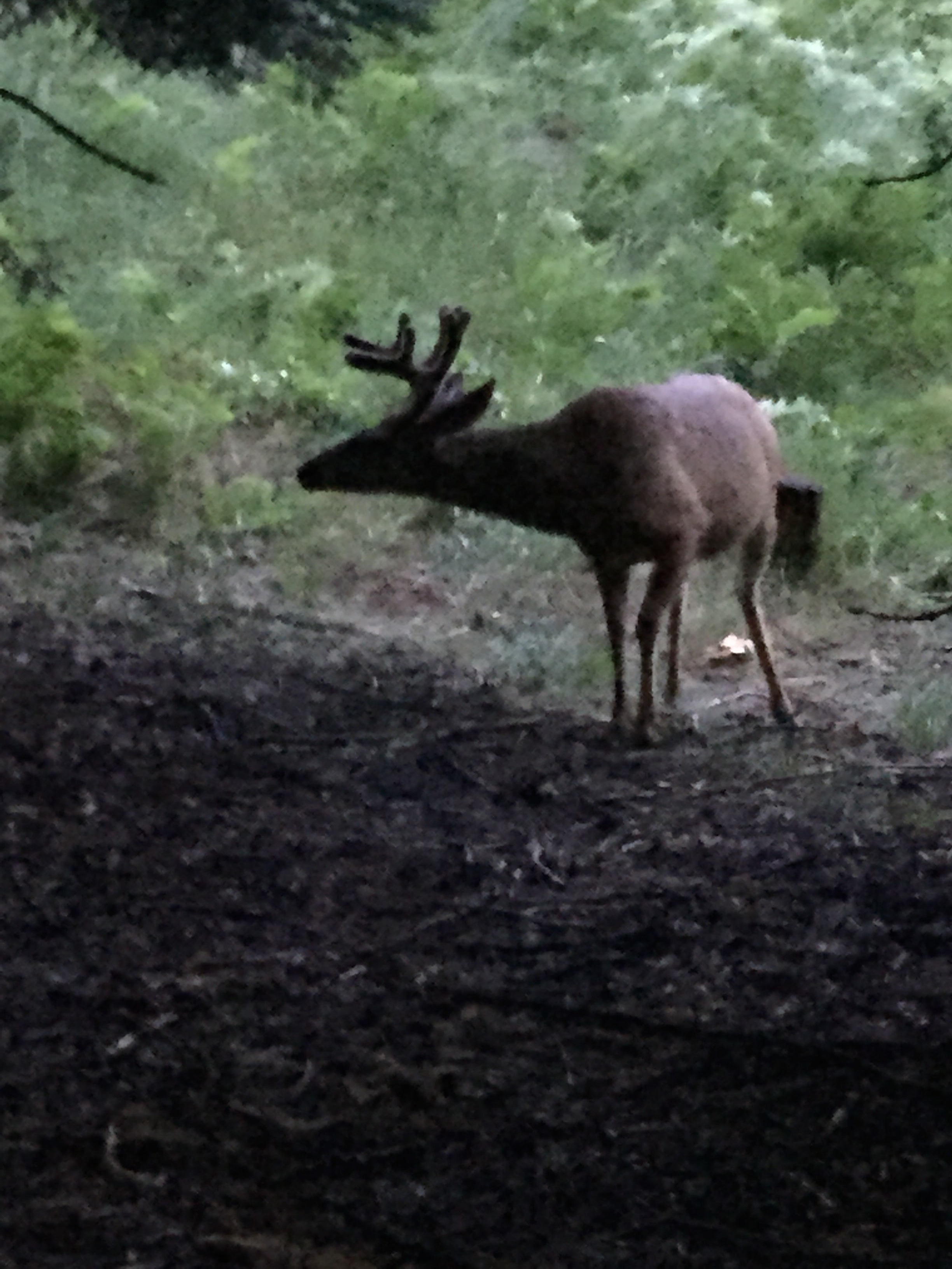
This guy really thought there was a good chance I was going to feed him, or at least drop some crumbs accidentally. Didn’t happen. Photo: BW
We spent perhaps an hour at the summit, and then started our long trek down off the top. When we got back to the trail junction, we were happy to see Kenny there. She was suffering from altitude sickness, and had decided not to go for the summit. We exchanged phone numbers and Betty invited her to come stay with us in Independence that night, if she made it down to Whitney Portal. Neither Betty nor I had any altitude problems, and while we were tired out, we felt like Super Women. Reunited with our packs, we started the long 8.7 miles downhill to the parking lot, where Dwight would be waiting for us (we hoped). The trail was far more populous that we had experienced in previous days, as there are lots of hikers starting from Whitney Portal and just going to the summit. It was difficult not to feel a little smug, surrounded by all these weekenders and daytrippers. The hike down made me grateful that we had decided to start from the north end of the trail. I would have hated for that climb up Whitney to be our first experience of the trail! Now that the hike was nearly finished, we were motivated to keep moving and get down the mountain. Even so, it was beautiful, and we walked through many places I would like to revisit. For a few miles, I kept a fantasy in my head of swimming in the lowest of the lakes that we would pass, imagining my cold-awakened skin and how refreshed I would feel. So Lone Pine Lake was my carrot. Turns out that Lone Pine Lake is off the main trail about a half-mile or so, and we opted not to spend the extra time or energy when we got to the turnoff. I had thought the path was going to wind right alongside it. A small disappointment.
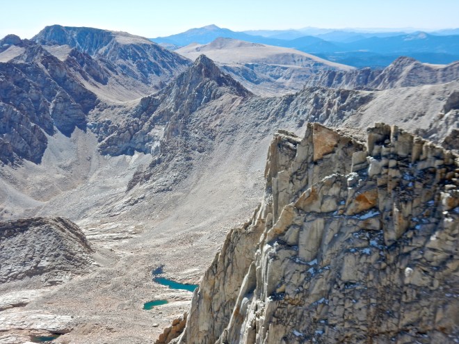
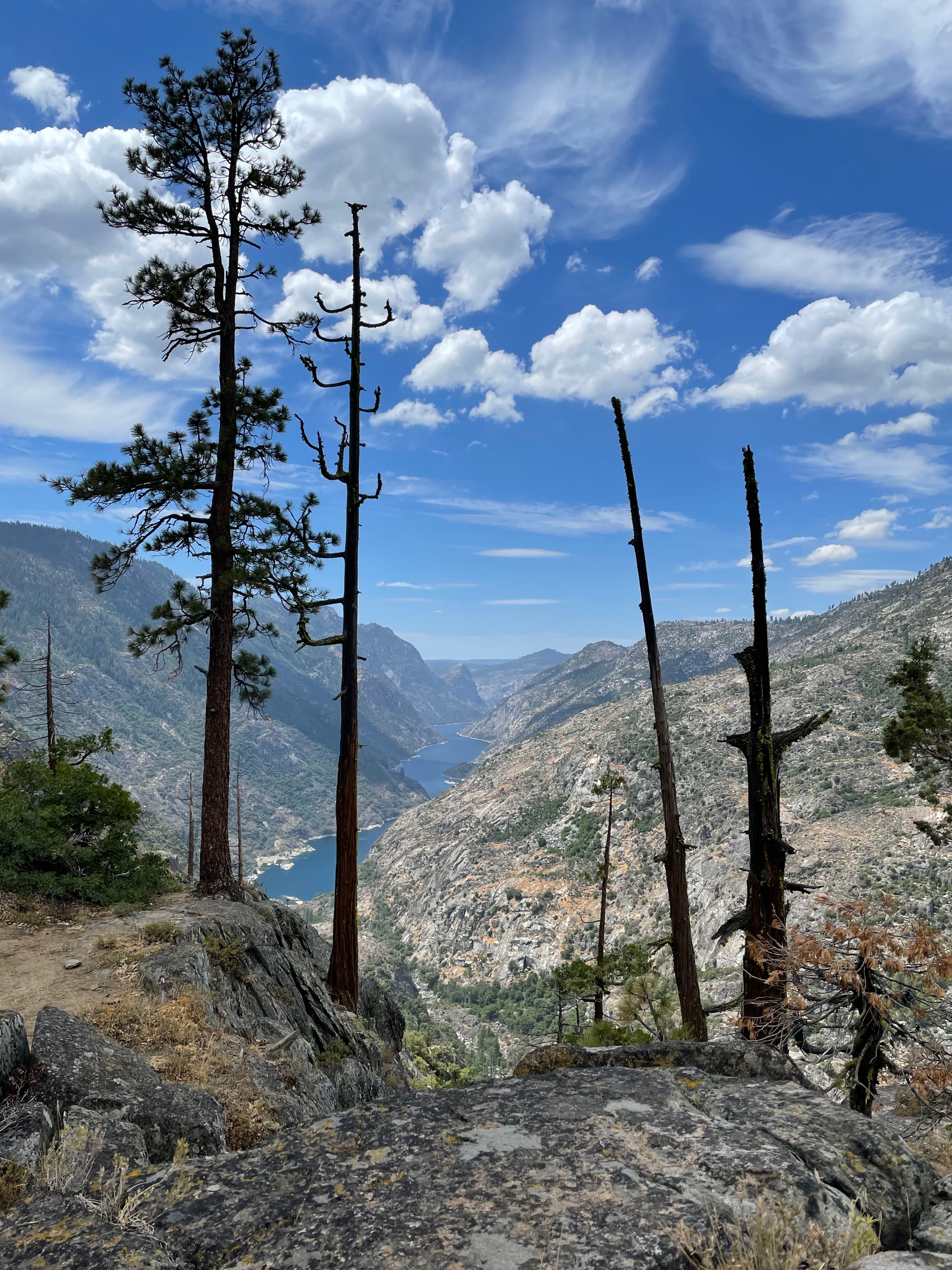
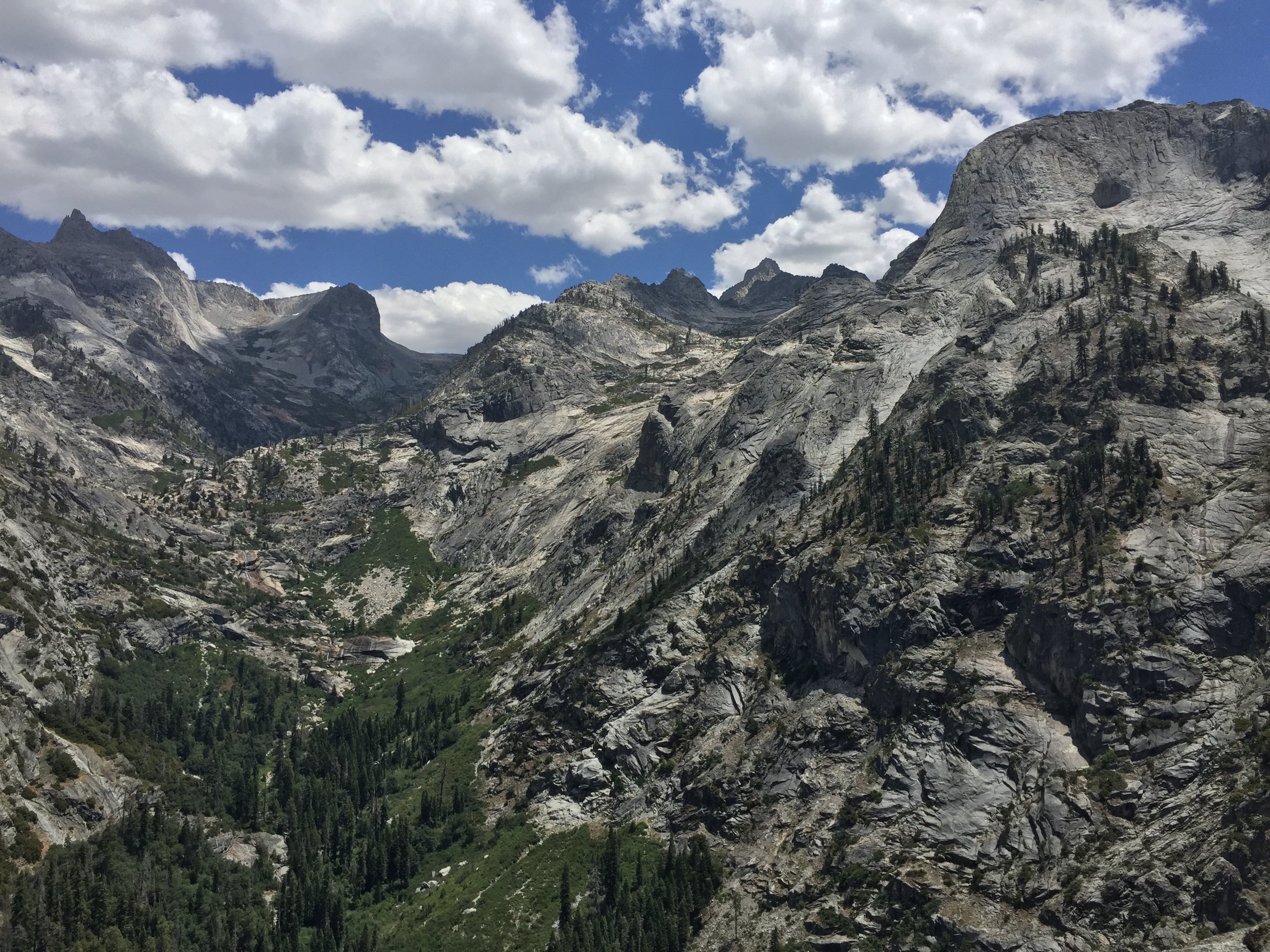
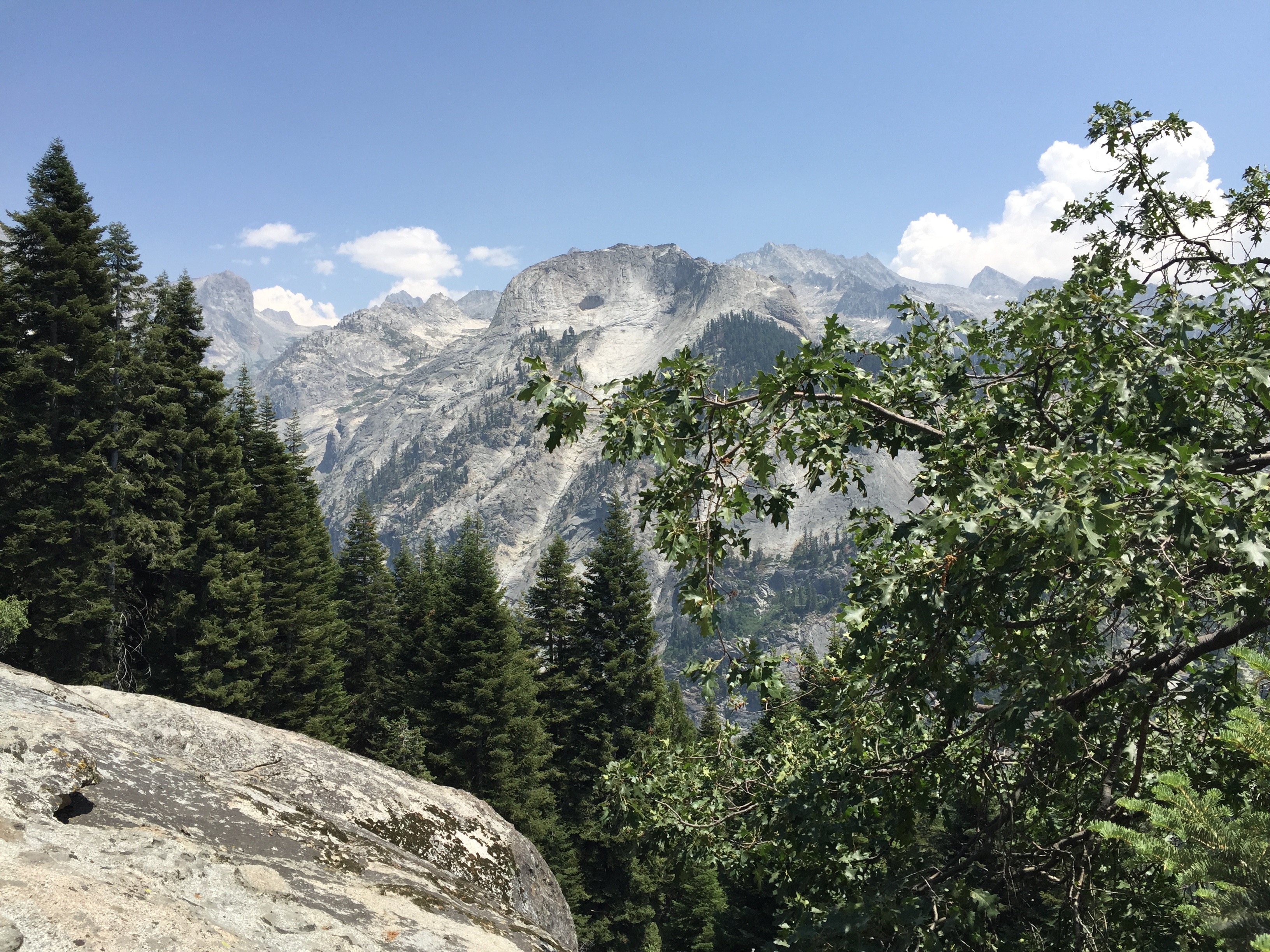
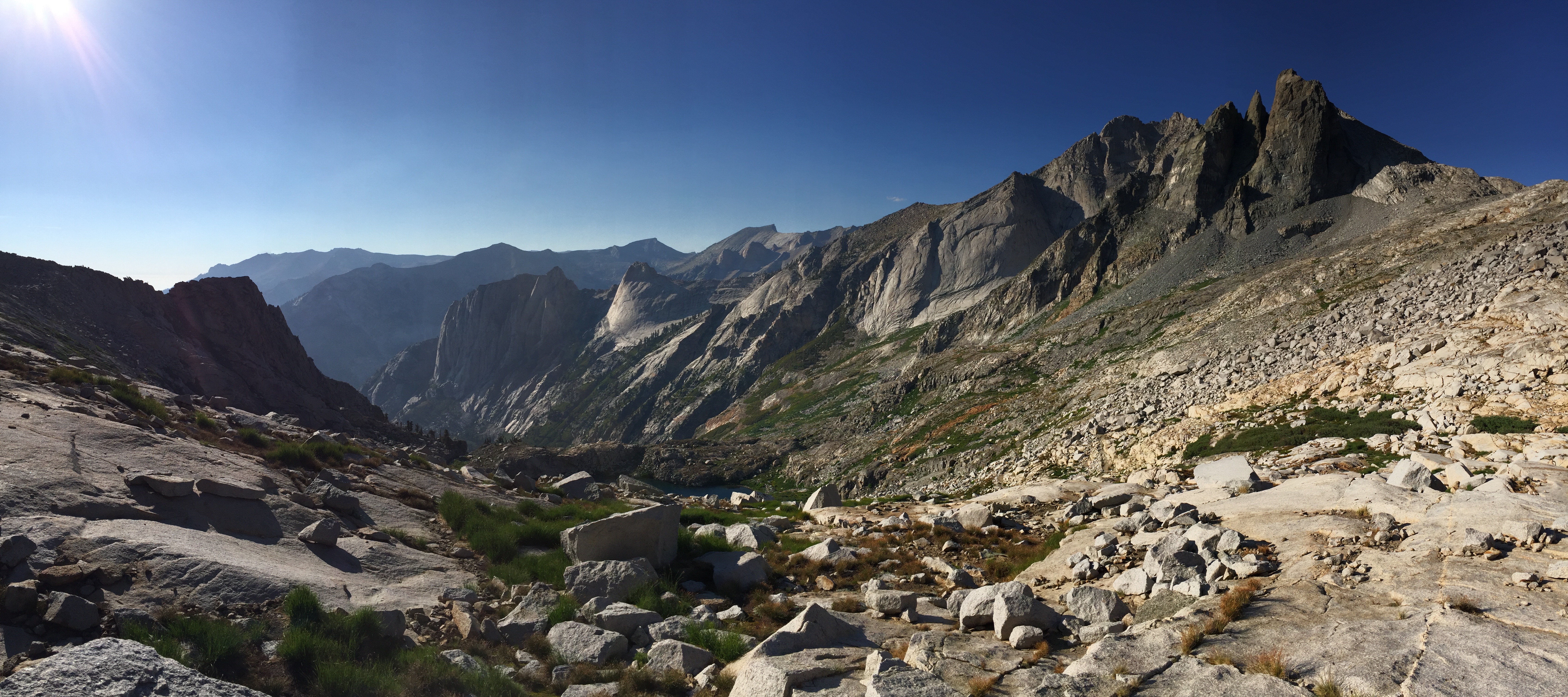
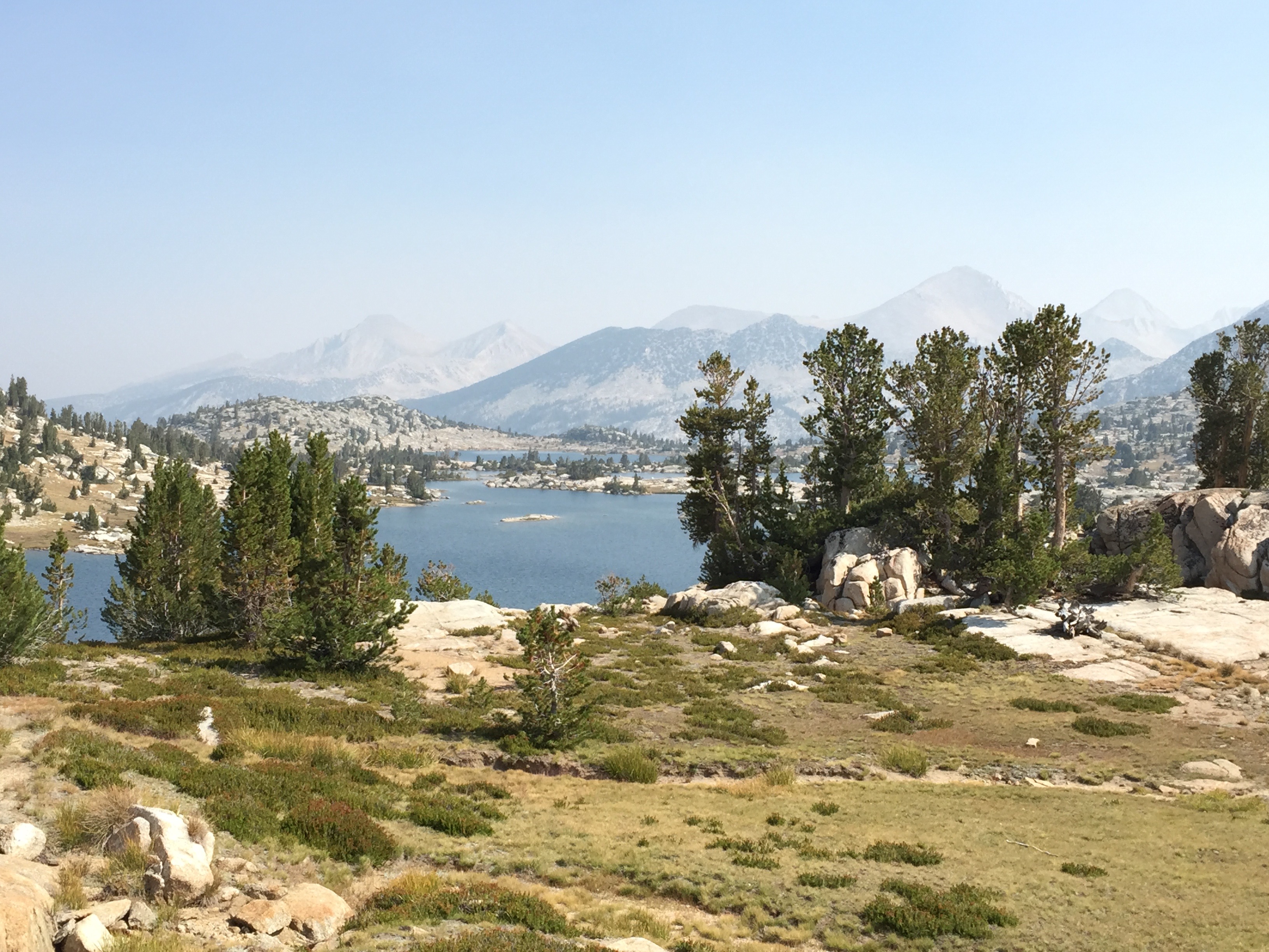
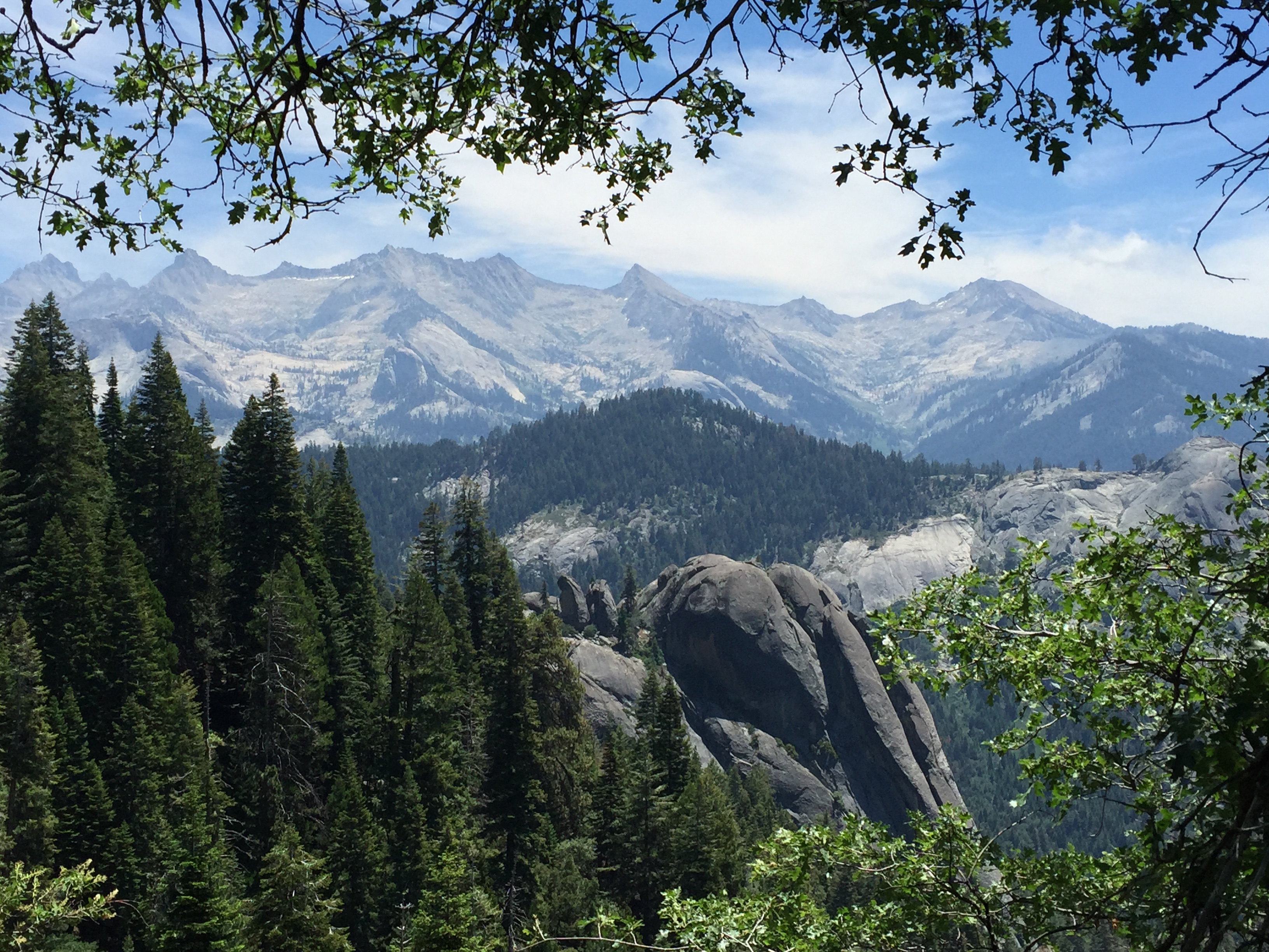
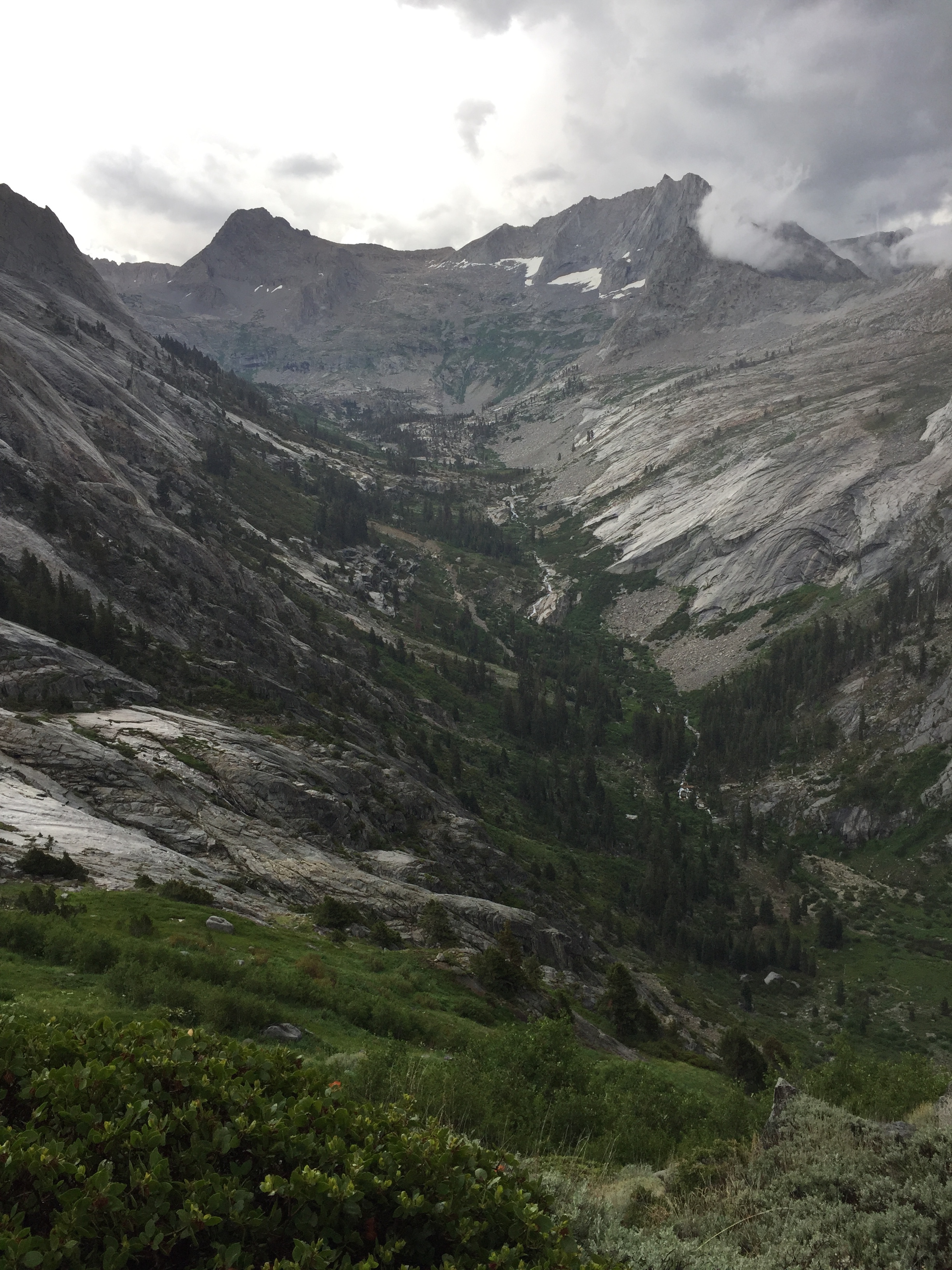
The view from the top. We’ll be walking past those lakes in a few hours. Photo: BW

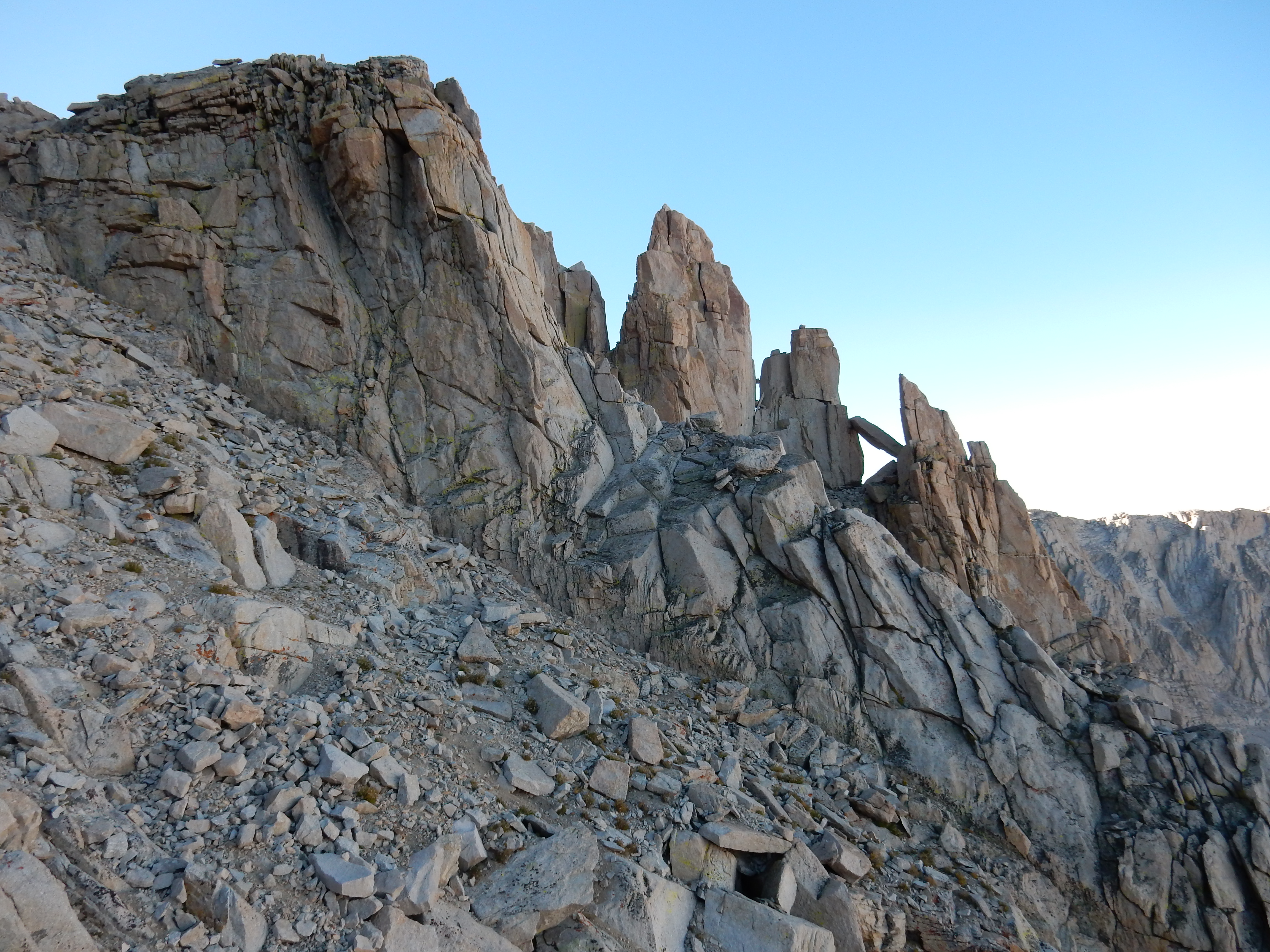
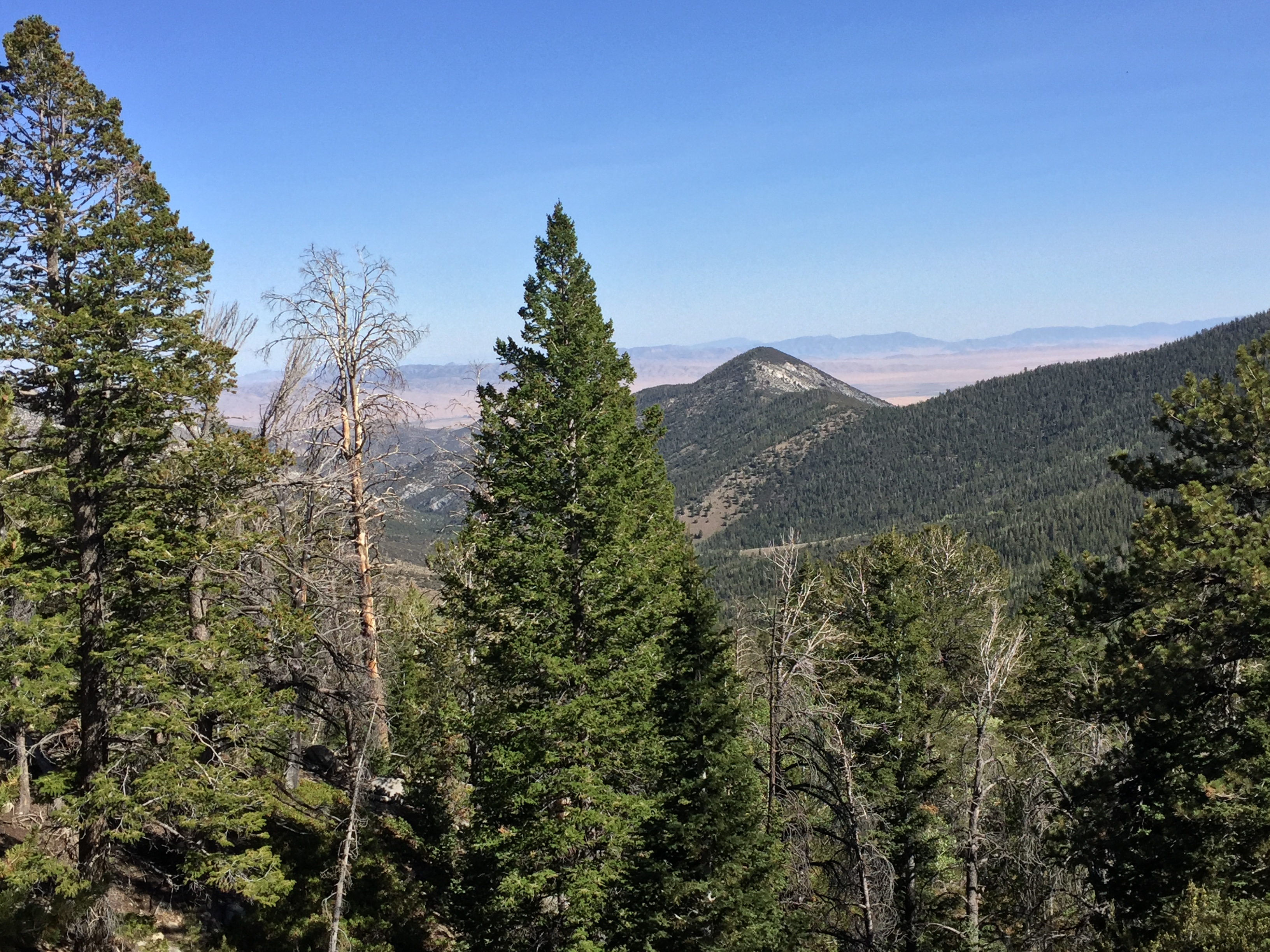
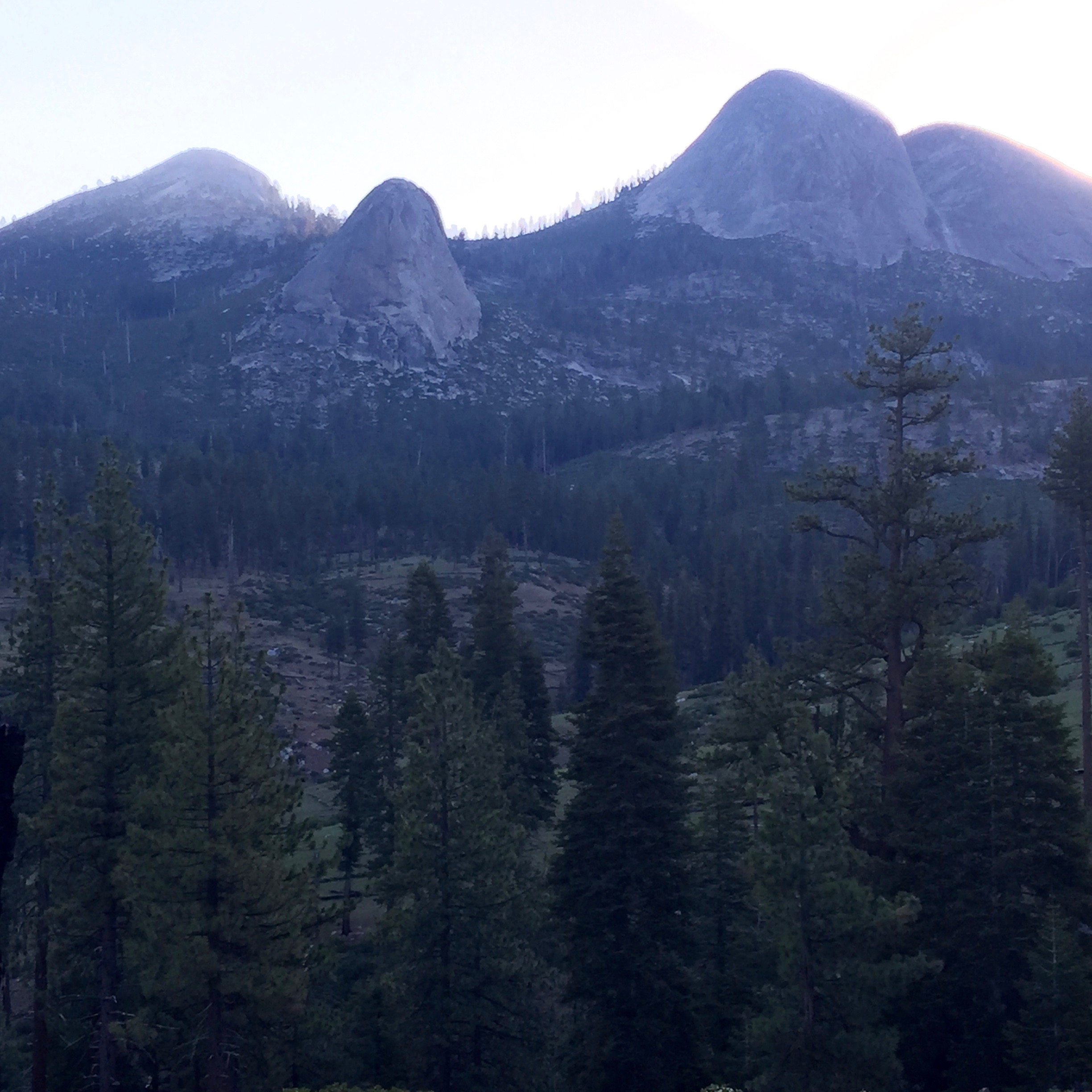
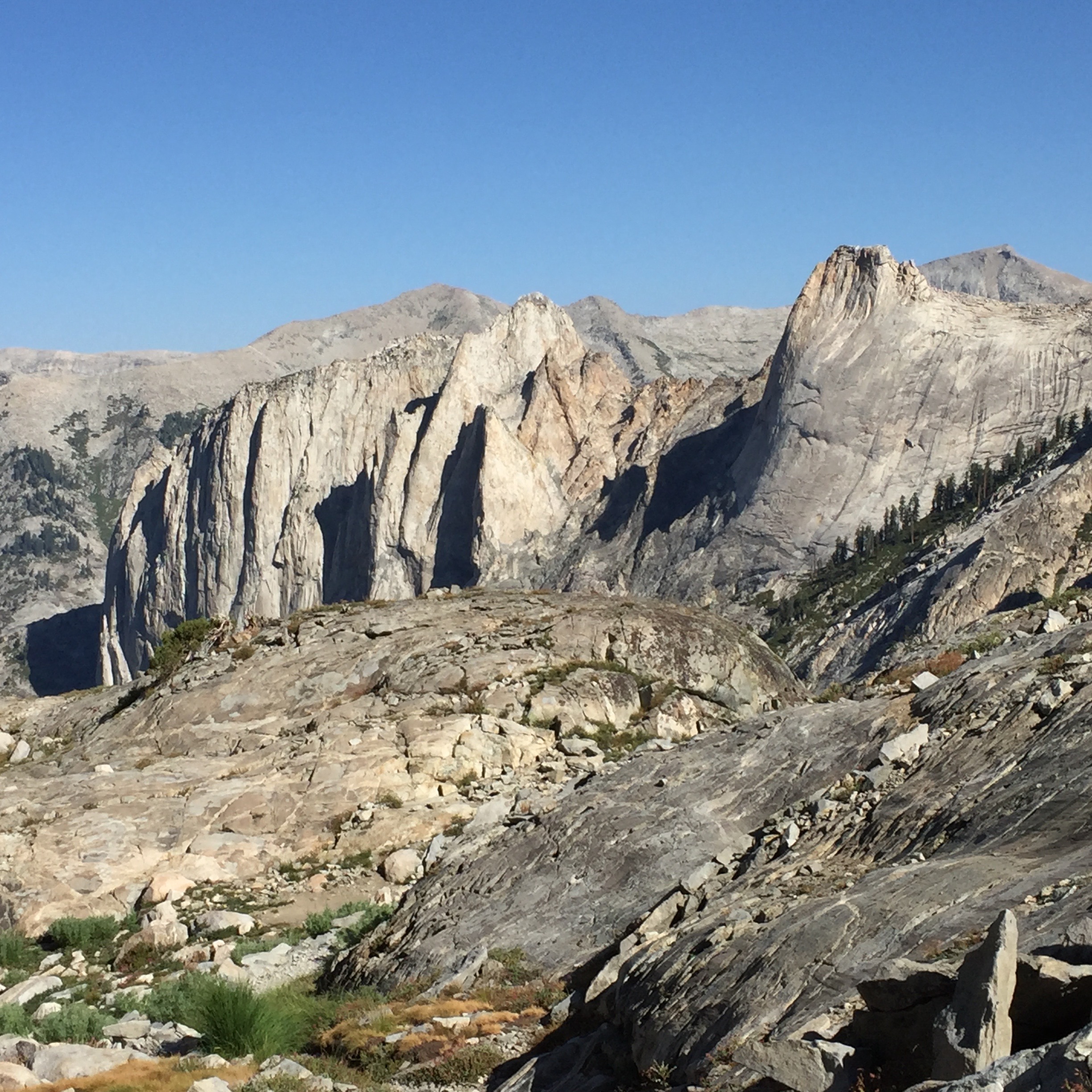
Three rocky points stick up off the side of Whitney. I forgot their names. Photo: BW
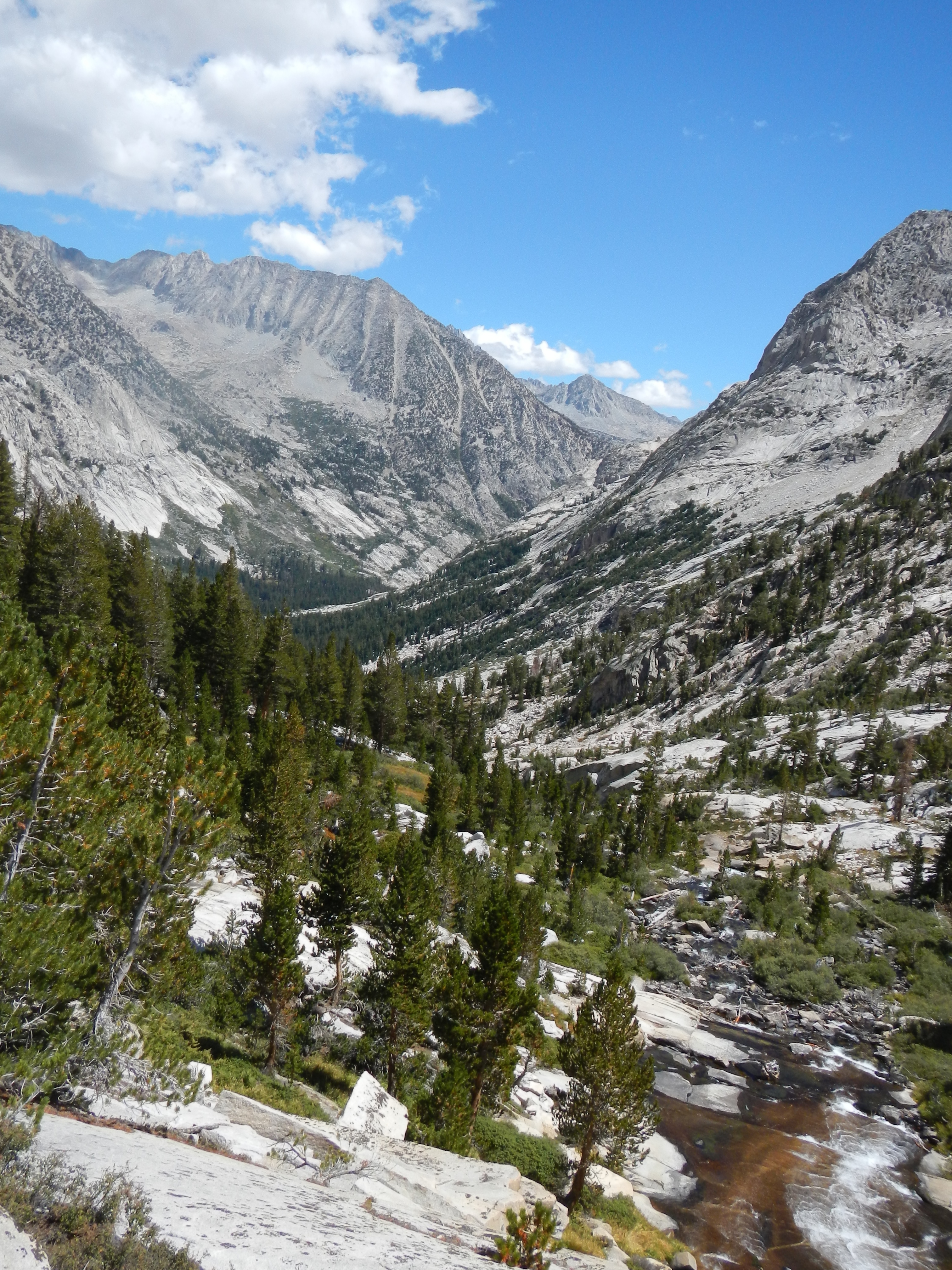
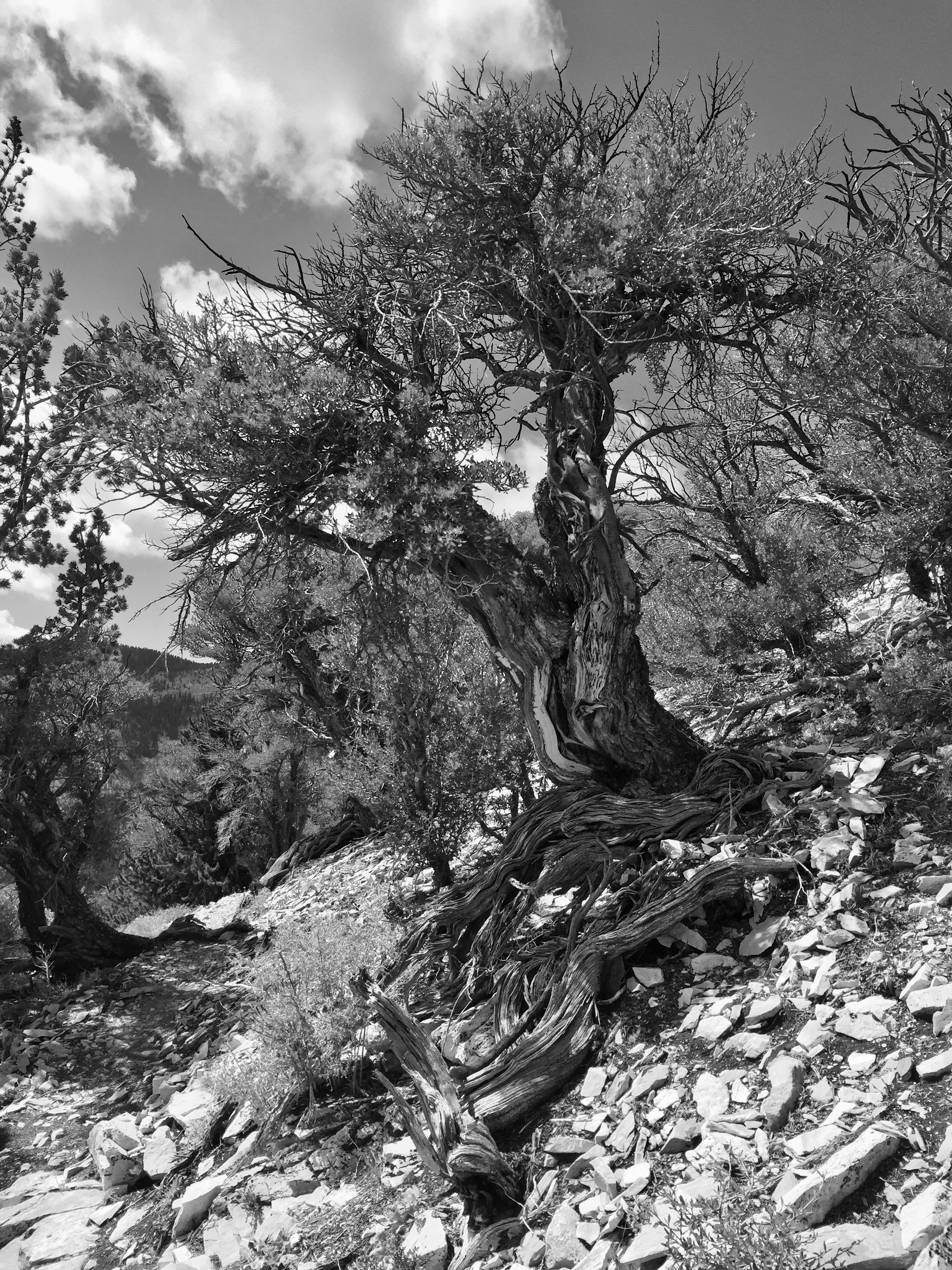
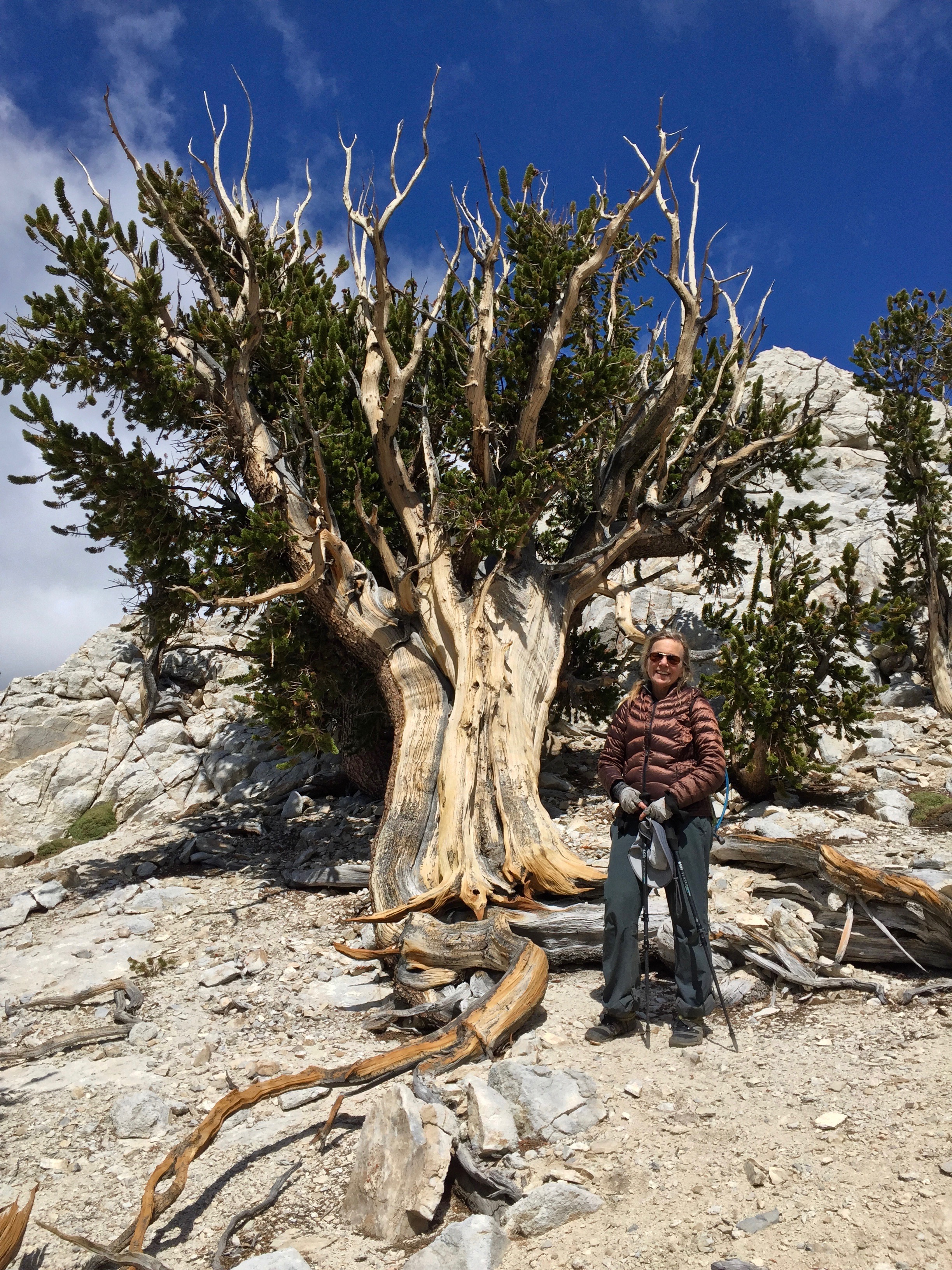
The trail down gave me one last time to visit the various biomes, from high above the tree line, into the stunted lodge poles and flattened willow bushes, through chinquapin and manzanita, into the tall trees, past profusions of wildflowers, and eventually to a paved road, the first that intersected with the JMT since Tuolumne Meadows 20 days earlier. The trek was marred for what seemed like hours, though, by an ear worm I couldn’t seem to exorcise. I kept hearing a loop of Homer and Jethro singing “There were nine buttons on her housecoat, but she could only fasten eight.” I finally had to put my mind to figuring why this wouldn’t go away, and then realized that a few days before we had met a guy on the trail whose nickname was “Jeffro.” We had seen him again up on the summit of Whitney. Ah-hah!

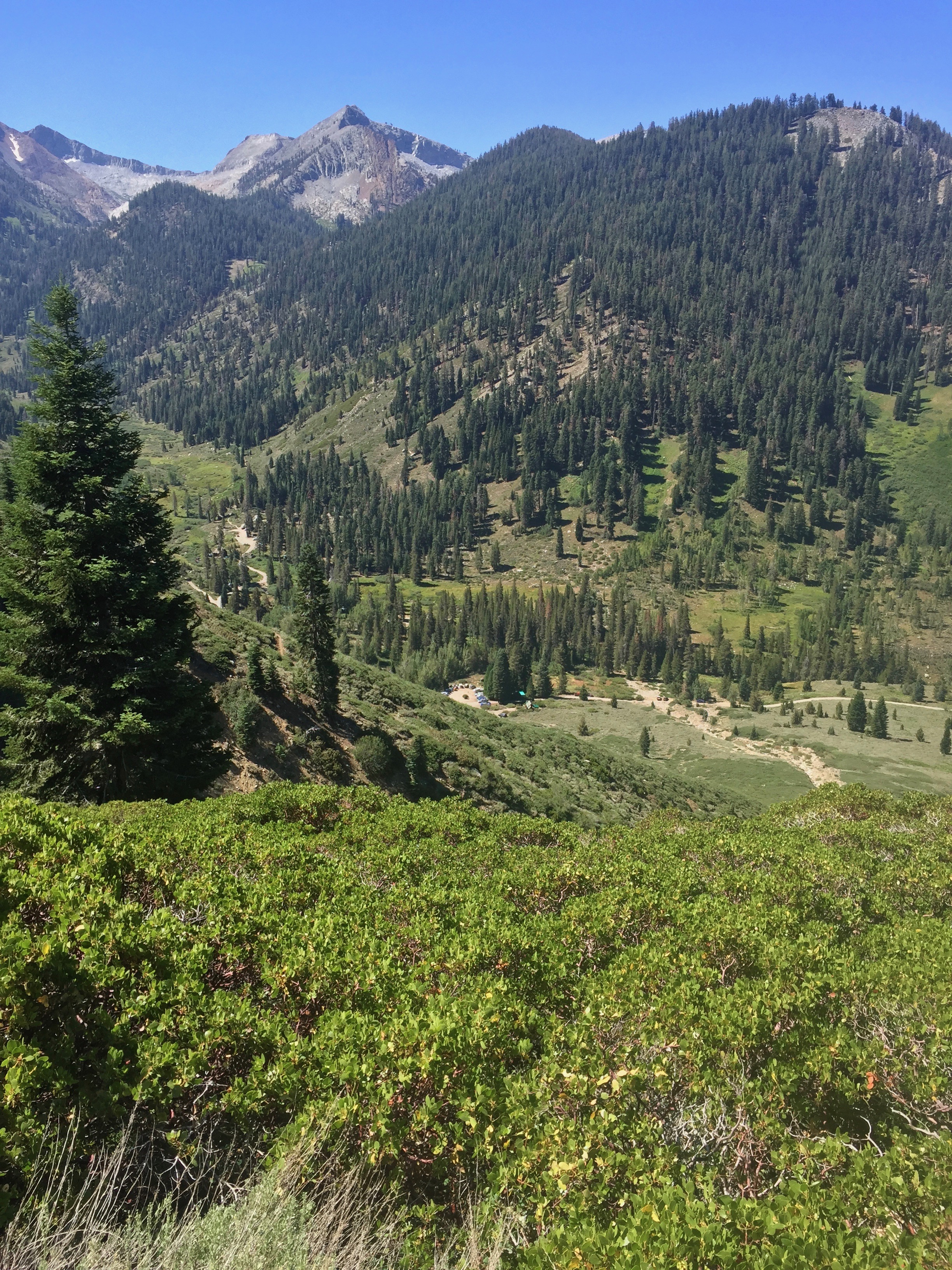
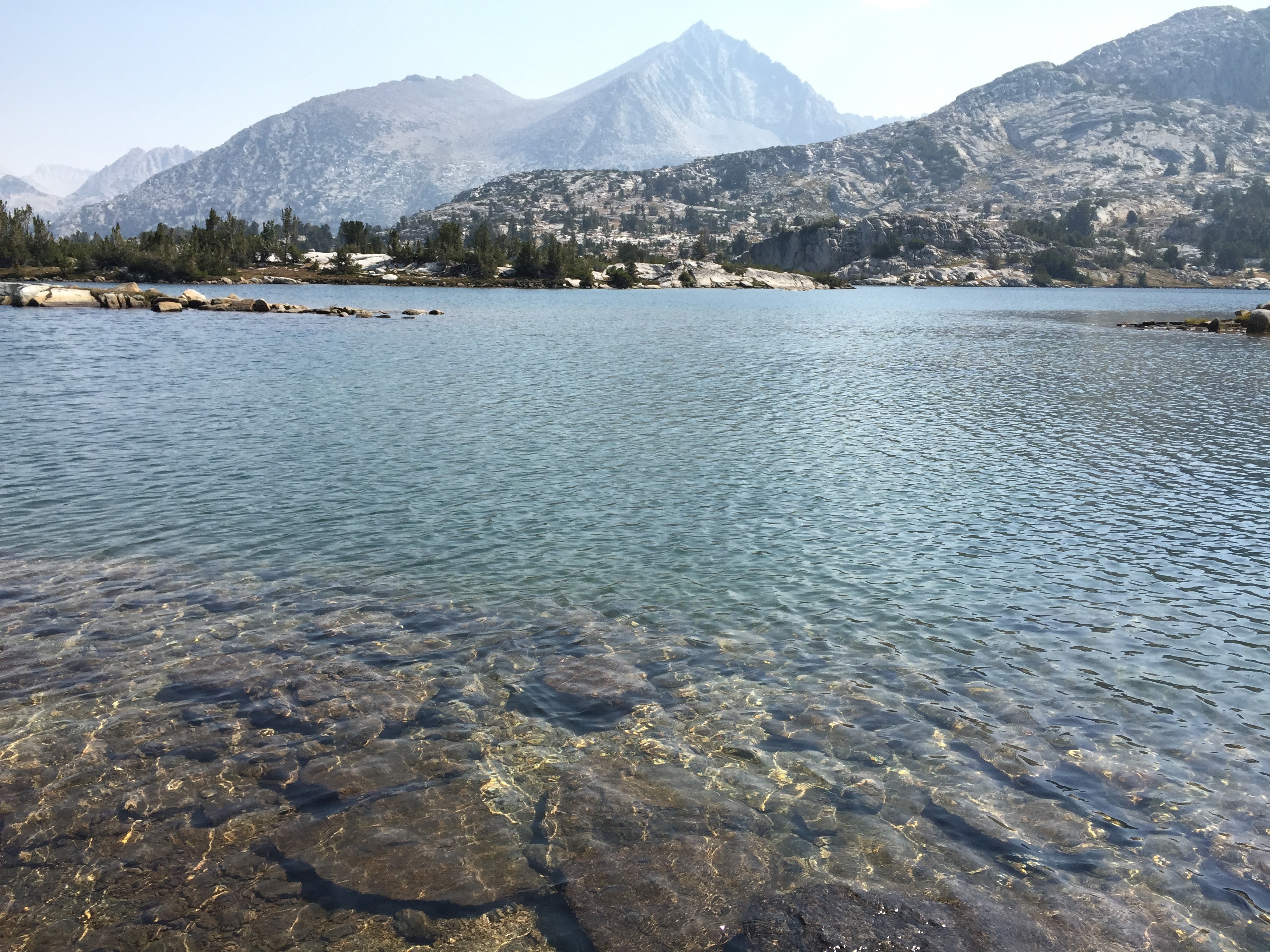
Consultation Lake, far below us. Betty spent the night there last year, when she climbed Mt Whitney. Farther down is a glimpse of Lone Pine Lake. Sure looks like good swimming! Photo: BW

Almost down to the parking lot, feeling good, but also feeling like I just want to turn back and stay in the mountains. Photo: BW
When we arrived at Whitney Portal, Dwight was there, along with Betty’s lovely dog, Molly. We dutifully bellied up to enormous plates of french fries (which weren’t nearly as satisfying as I imagined they would be. I couldn’t finish them all), loaded our packs and trekking poles into the car, and left the trail behind. I would jump at the opportunity to revisit the JMT, and immediately started wondering whether I could take a month off next year and do it again. The high country has a deep hold on my heart.

Betty and I arrive at Whitney Portal, tired but happy and ready to eat french fries. photo: Dwight Worden
We pulled into our rental house in Independence, and met up with Tom. First order of business: a shower. Man, that felt good! Dwight had made a lovely spaghetti dinner, but I really couldn’t eat much. My stomach has shrunk and it needs so little to fill it. It was great to be reunited with my guitar, fiddle, and banjo! Tom and I are looking forward to two nights of rest before we played a concert in Sugar Pine, on the other side of the Sierra above Fresno.
Epilogue:
The next day, Tom and I stayed in Lone Pine and didn’t do much of anything except play our instruments and wander about town. The following morning, September 5, we drove up Hwy 395 to Hwy 120 and crossed over Tioga Pass in Yosemite National Park. It was so smoky there that we didn’t want to get out of the car. By the way, driving again was interesting: I actually wandered onto the shoulder on three separate occasions while gazing at the landscape around me. It took awhile to get used to the speed at which we were traveling. Luckily, I got us back on the road again with no problems, and within 30 or 40 miles I guess I was back in the here-and-now and once more trustworthy behind the wheel.
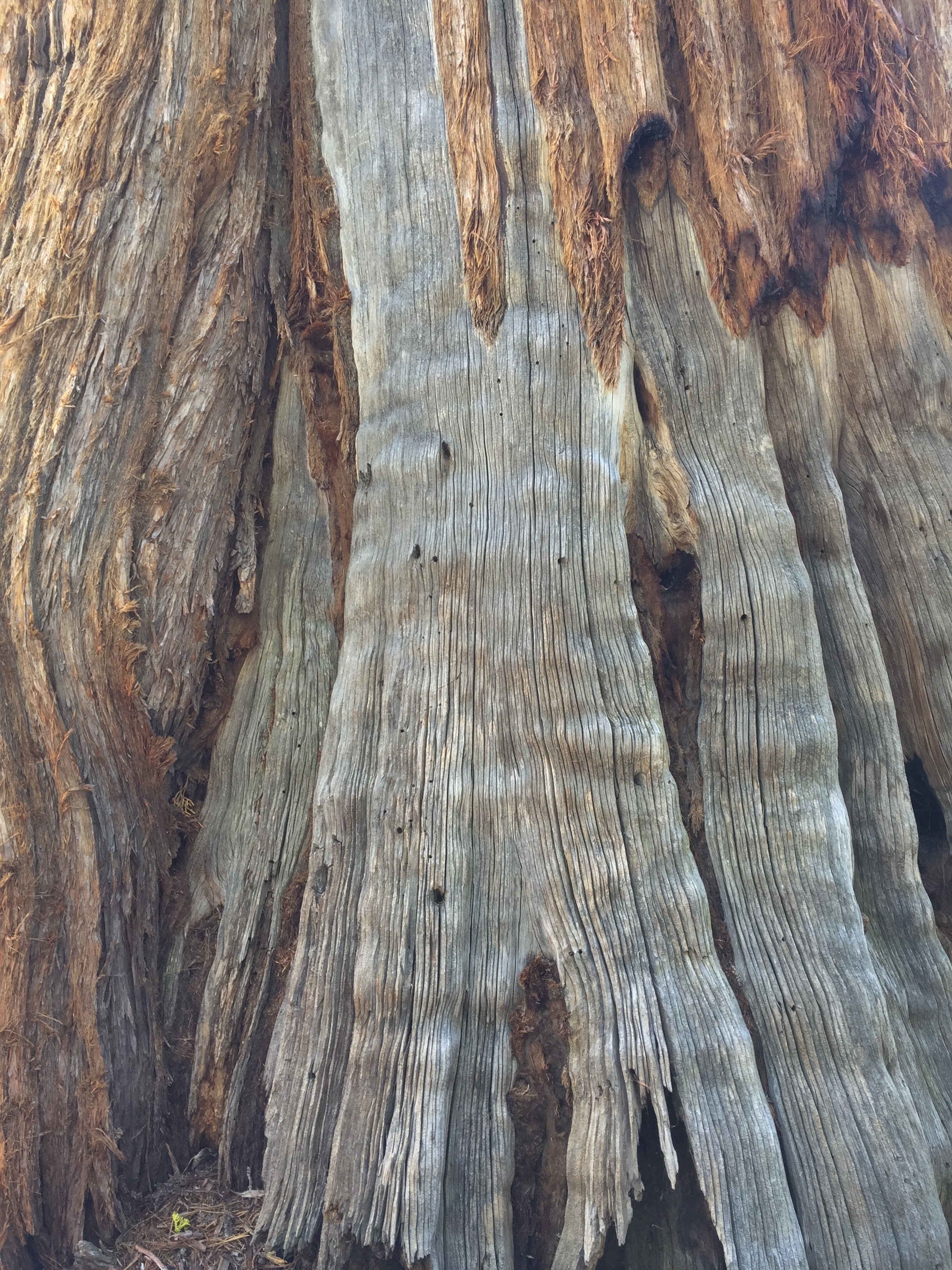
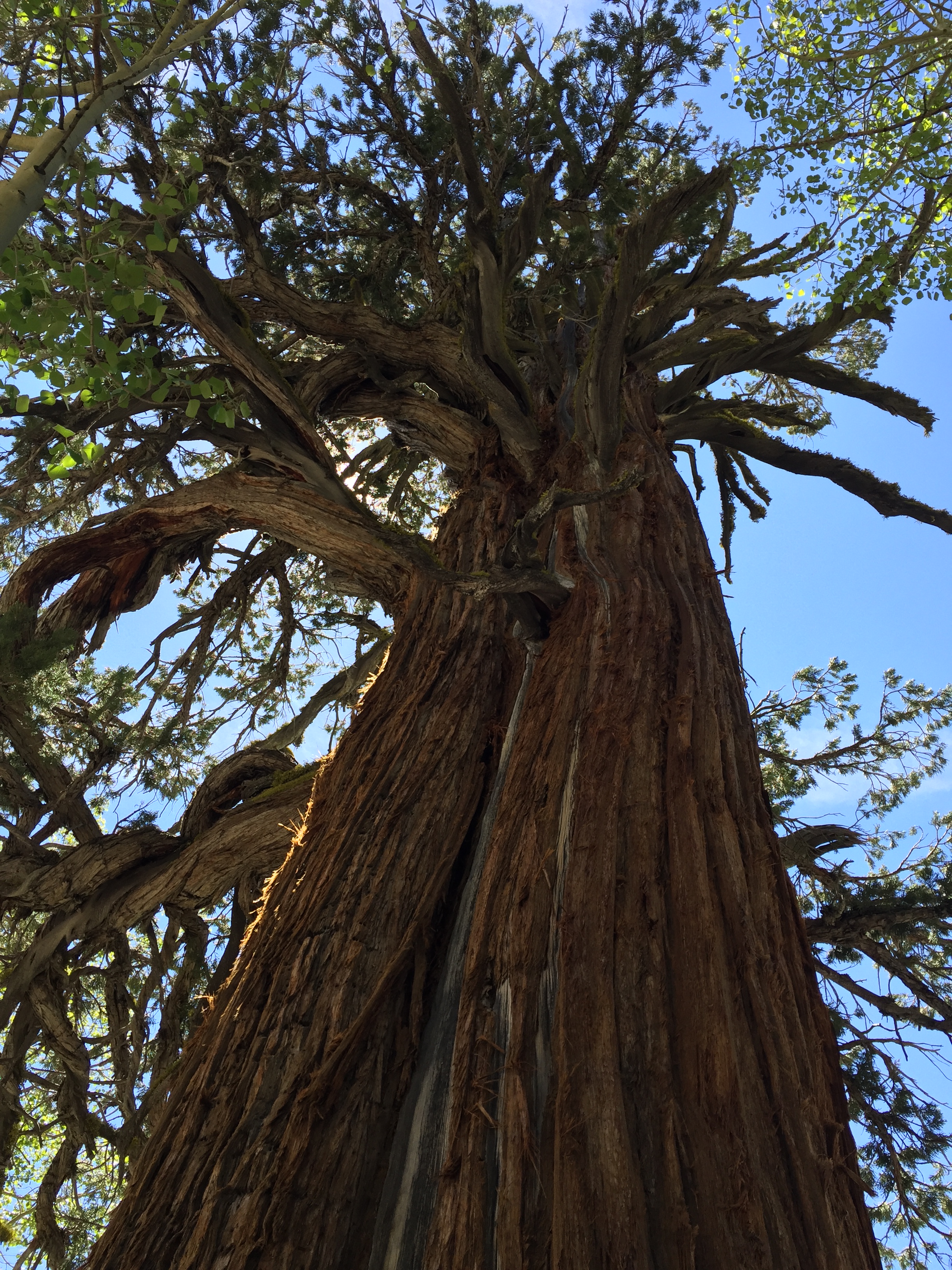
On Sept 6, the dense smoke that had hung over Wawona had magically dissipated, and the skies were brilliant blue. Just a slight change in the wind direction, and you’d never know there was a massive fire burning not so far away. So Tom and I stopped at the Mariposa Grove of Sequoias for a little rehearsal before our show. We pulled out the guitar, banjo, fiddle, mandolin and mandola and walked a short way up the hill from the very busy parking lot to play in privacy. It was lovely, sitting on a perfect log in the dappled shade and quiet, reveling in the joys of music. After awhile, we packed up and headed down to Sugar Pine, about 10 miles and 30 minutes away on winding mountain roads. It wasn’t until we were setting up for the show there that I discovered that my banjo was missing. I had left it just sitting on that log back up the road. I felt sure that it was gone by now, what with the area being so crowded. One of the people at the party worked at Mariposa Grove, and he called the ranger office there and asked someone to go look. There was a tense 20 minutes or so waiting for the return call, and when it came in, the person said there was no banjo to be seen. But our hero of the day, Steve, jumped in his car, taking a hastily-drawn map of exactly where the banjo log was located, and drove up to the park. An hour and a half later, he returned with banjo in hand! Turns out that our log was quite a bit farther off the beaten path than I had thought, and the banjo was undisturbed and undiscovered by any of the many tourists. Walking distances aren’t what they used to be for me. Every stroll is so much shorter than I what have become accustomed to. I am happy to say that I am now reunited with my Deering Goodtime frailing banjo.
I am sad to be finished with my blog. As I think back on our trek, I see that it really was pretty uneventful. No bad weather, not a drop of rain, easy creek crossings, still plenty of water, relatively light packs, very little in the way of equipment or physical malfunctions, easy companionship, mostly good food. How can something so “uneventful” take such hold of me? Finishing writing about it means that it will recede into the past much more quickly, and I mourn that. Next summer, I know I’ll be in the high Sierra again. I can hardly wait. I hope and pray, as we all do, that the drought will break its hold on the West, and we will have abundant snows and rains. The experts do not expect that to happen.
If you are reading this far, I thank you for sticking with me on my journey, and urge you to get out there and make one of your own. See you down the trail somewhere.
Laurie


 5:27 PM


 It’s off to bed now, and all I can think about tonight is tomorrow’s breakfast. And the chance to eat a big lunch somewhere on the road.

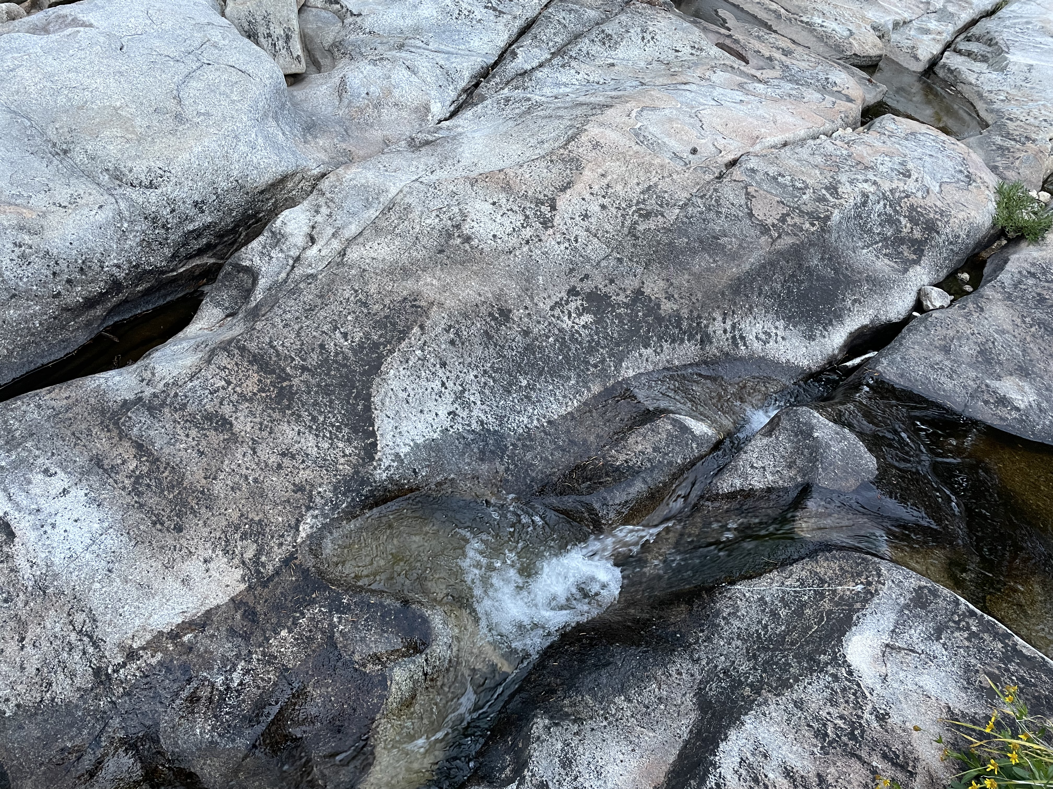
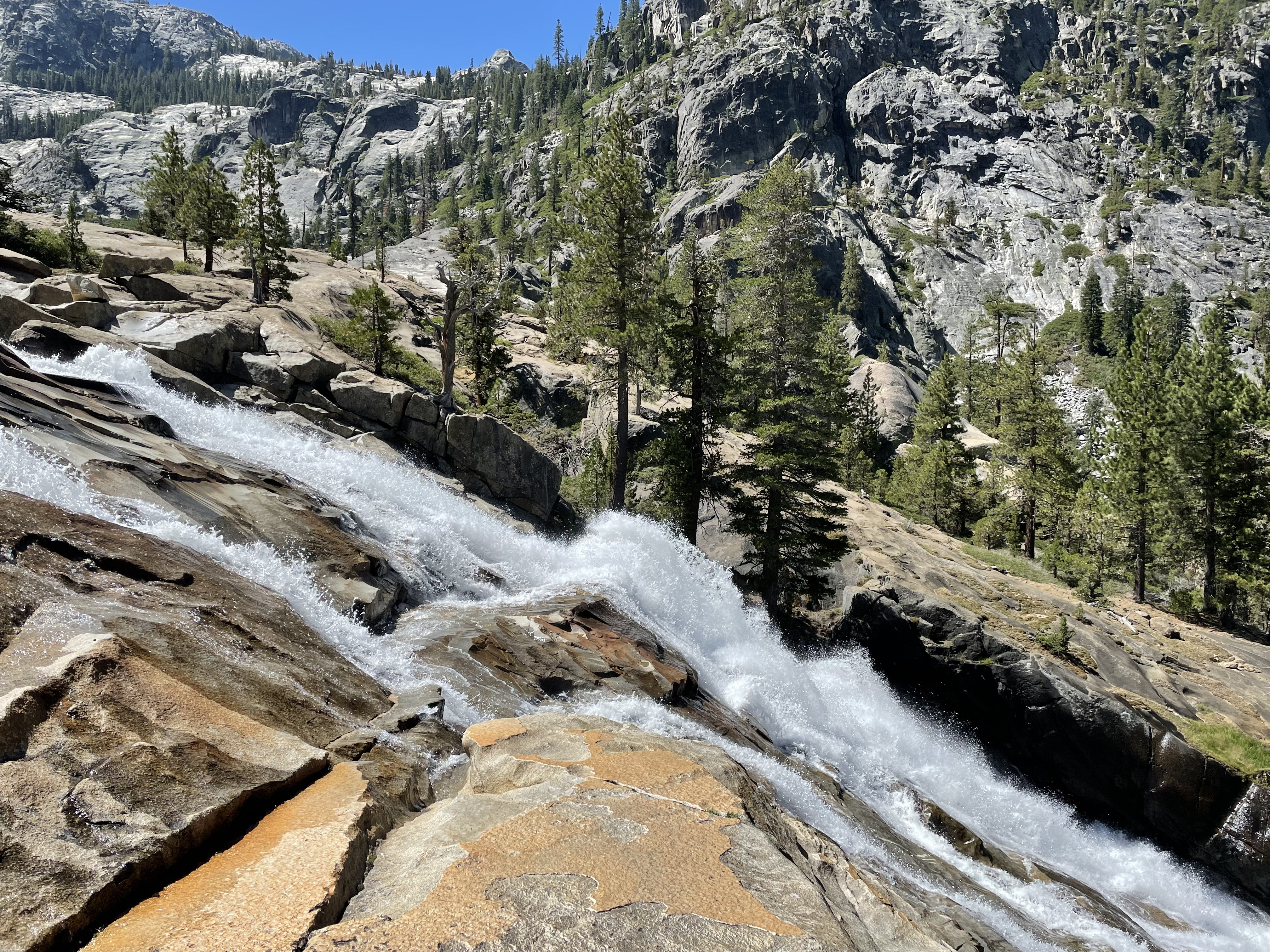
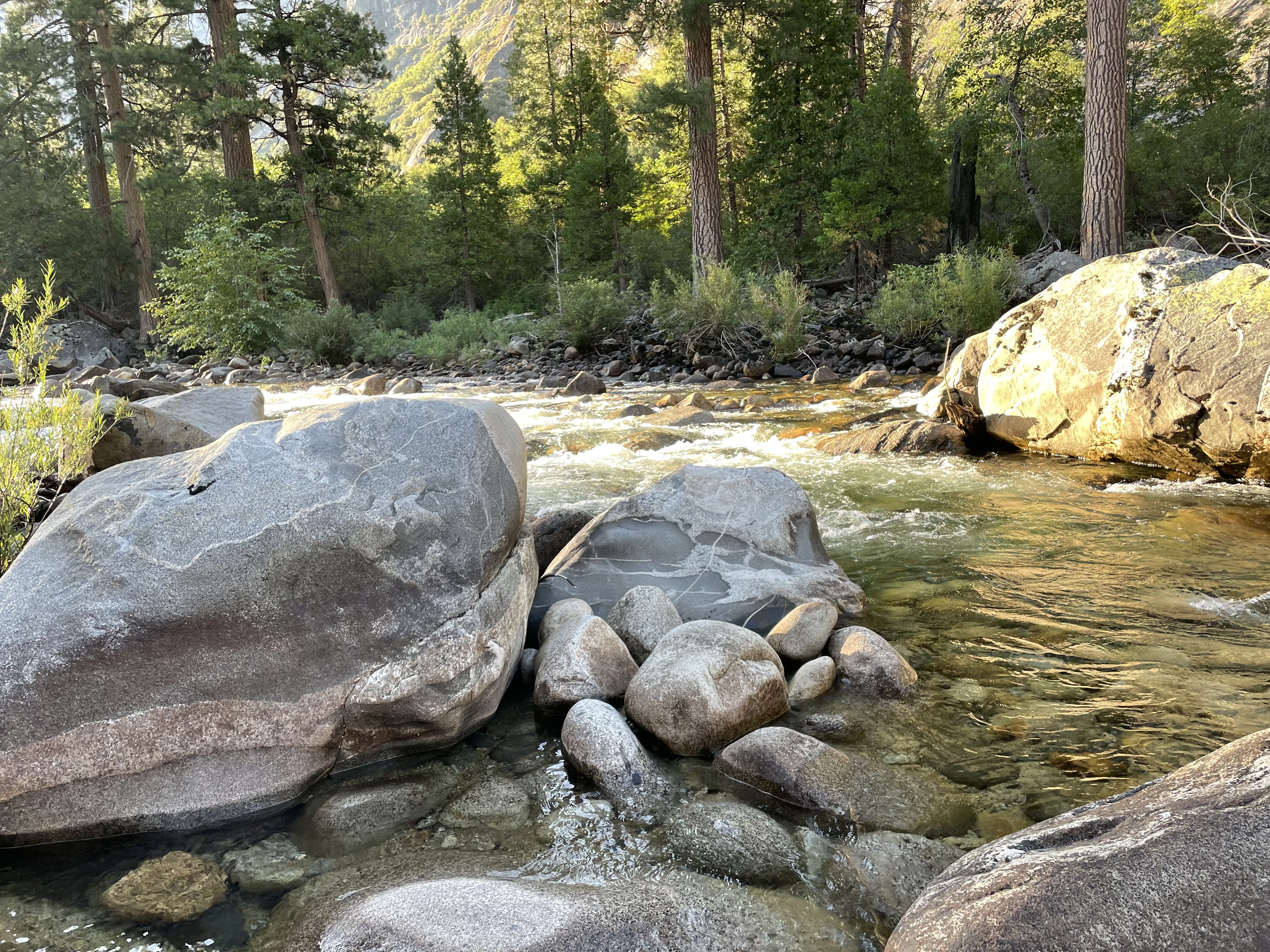
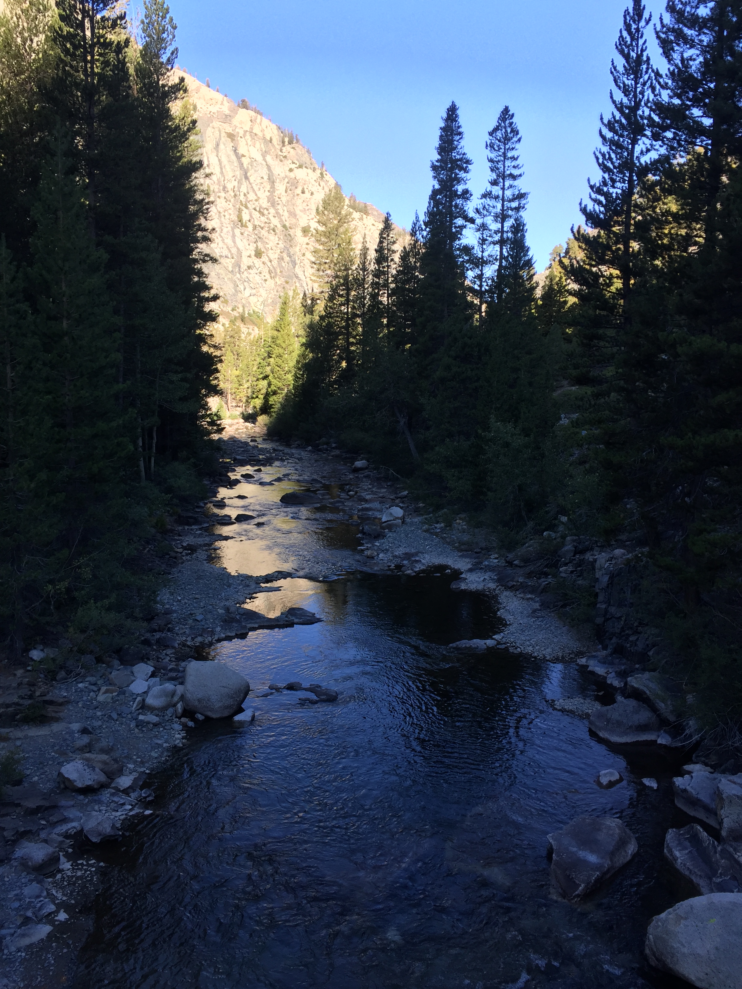
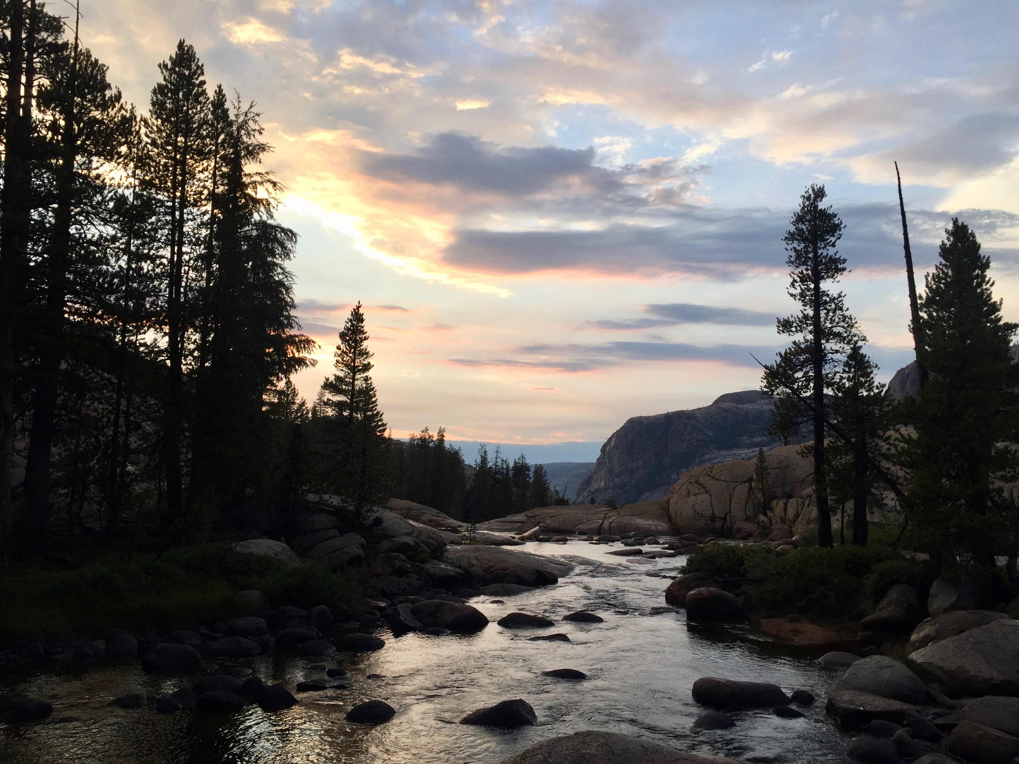
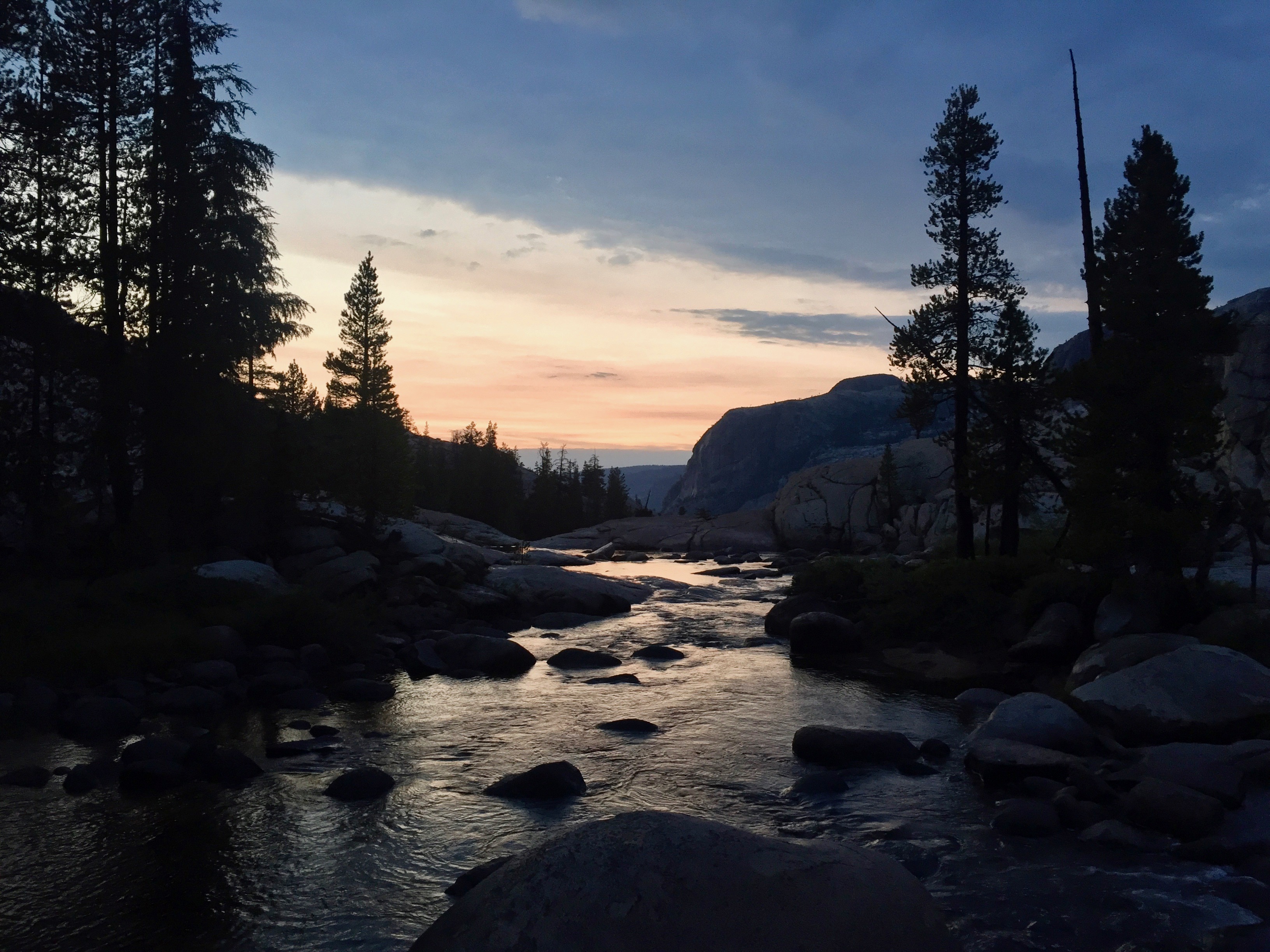
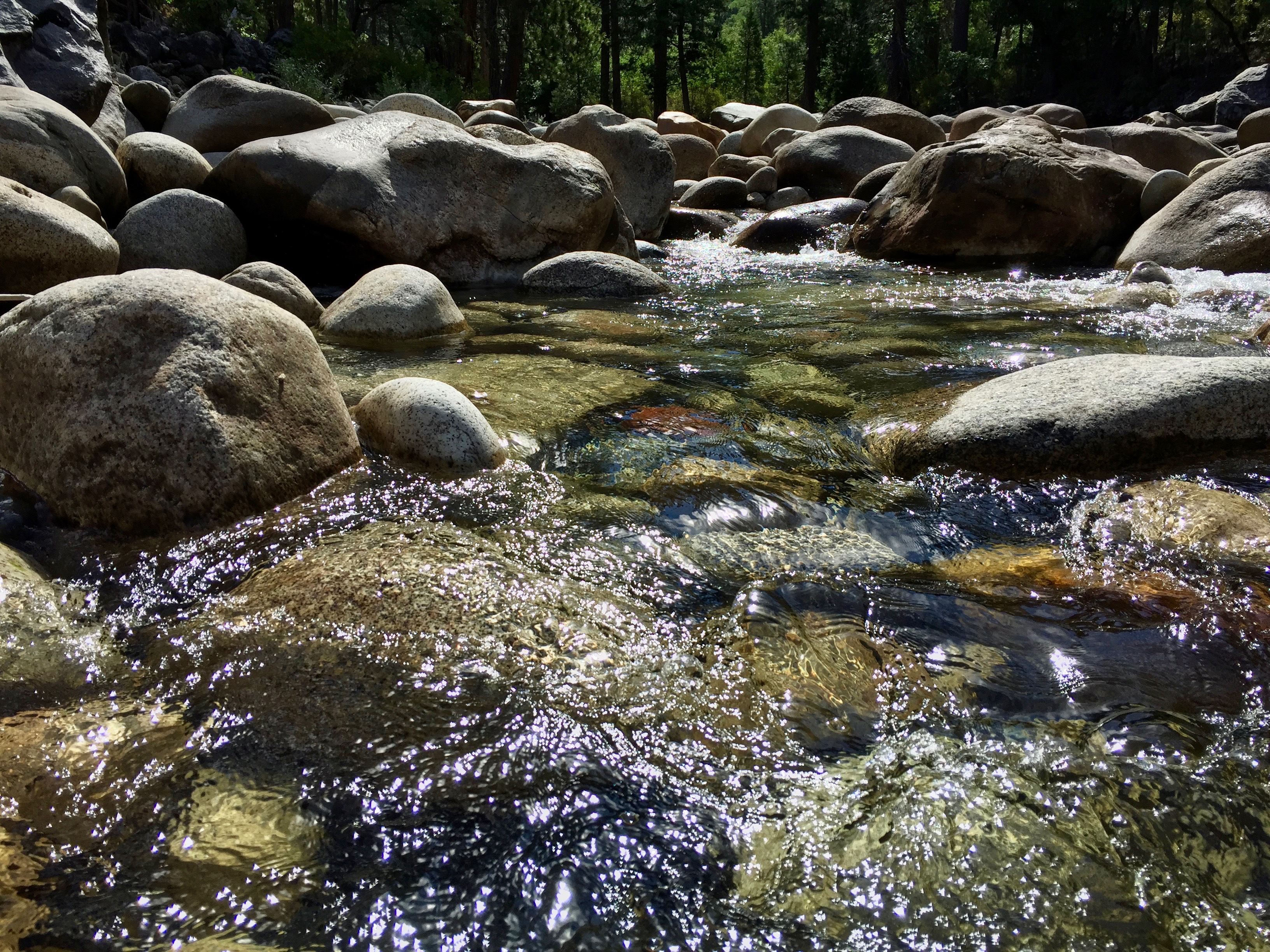
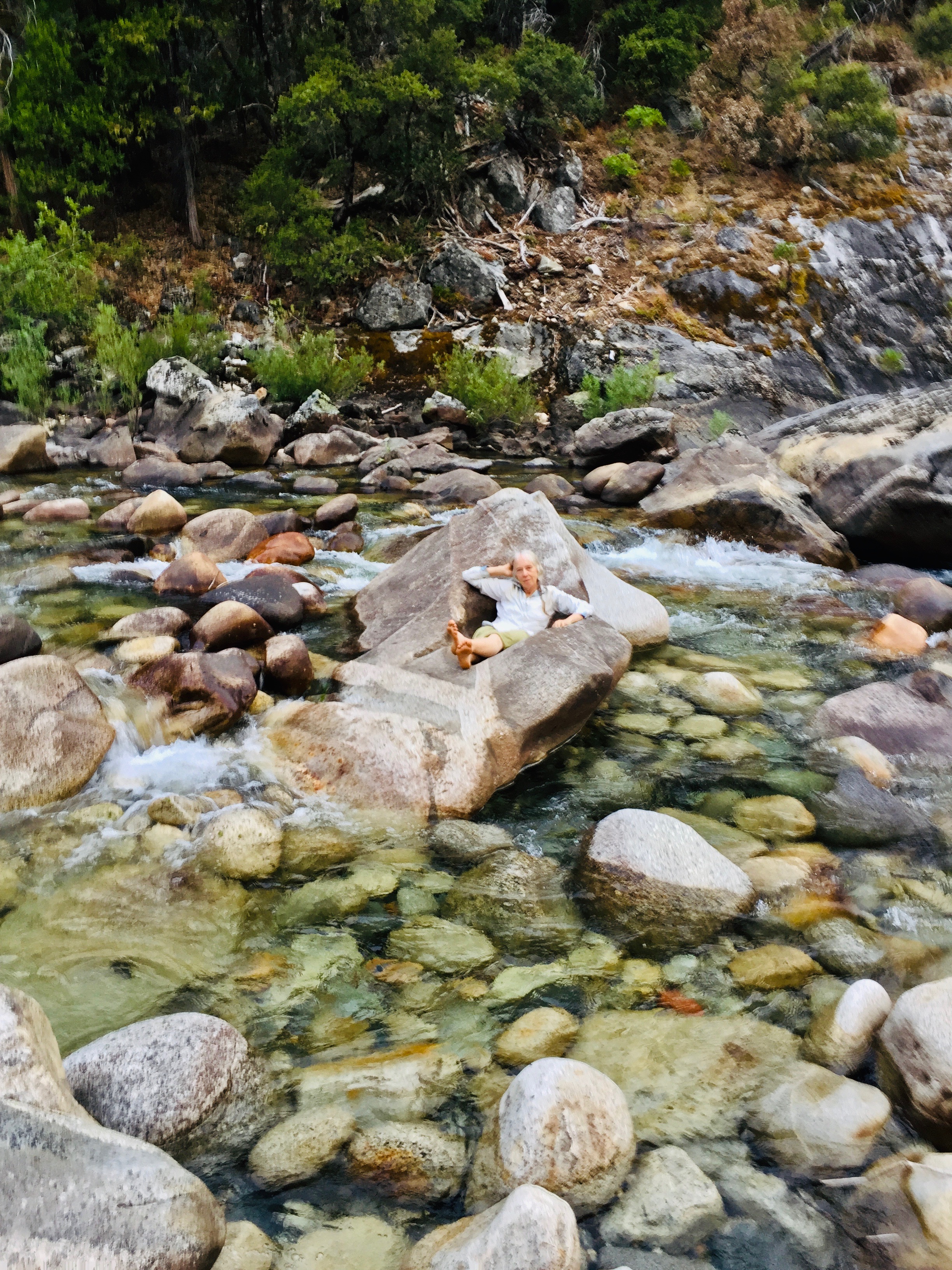
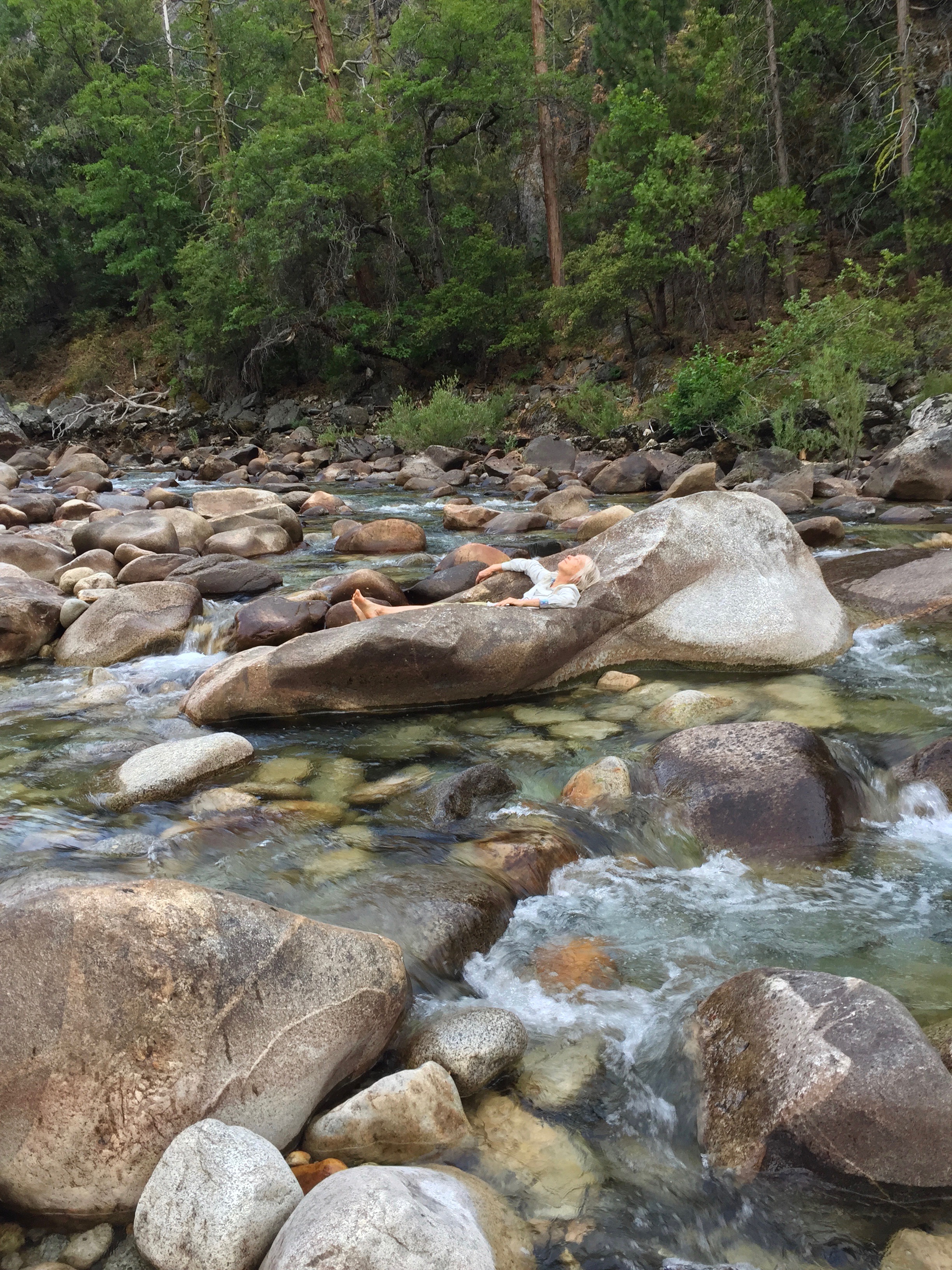
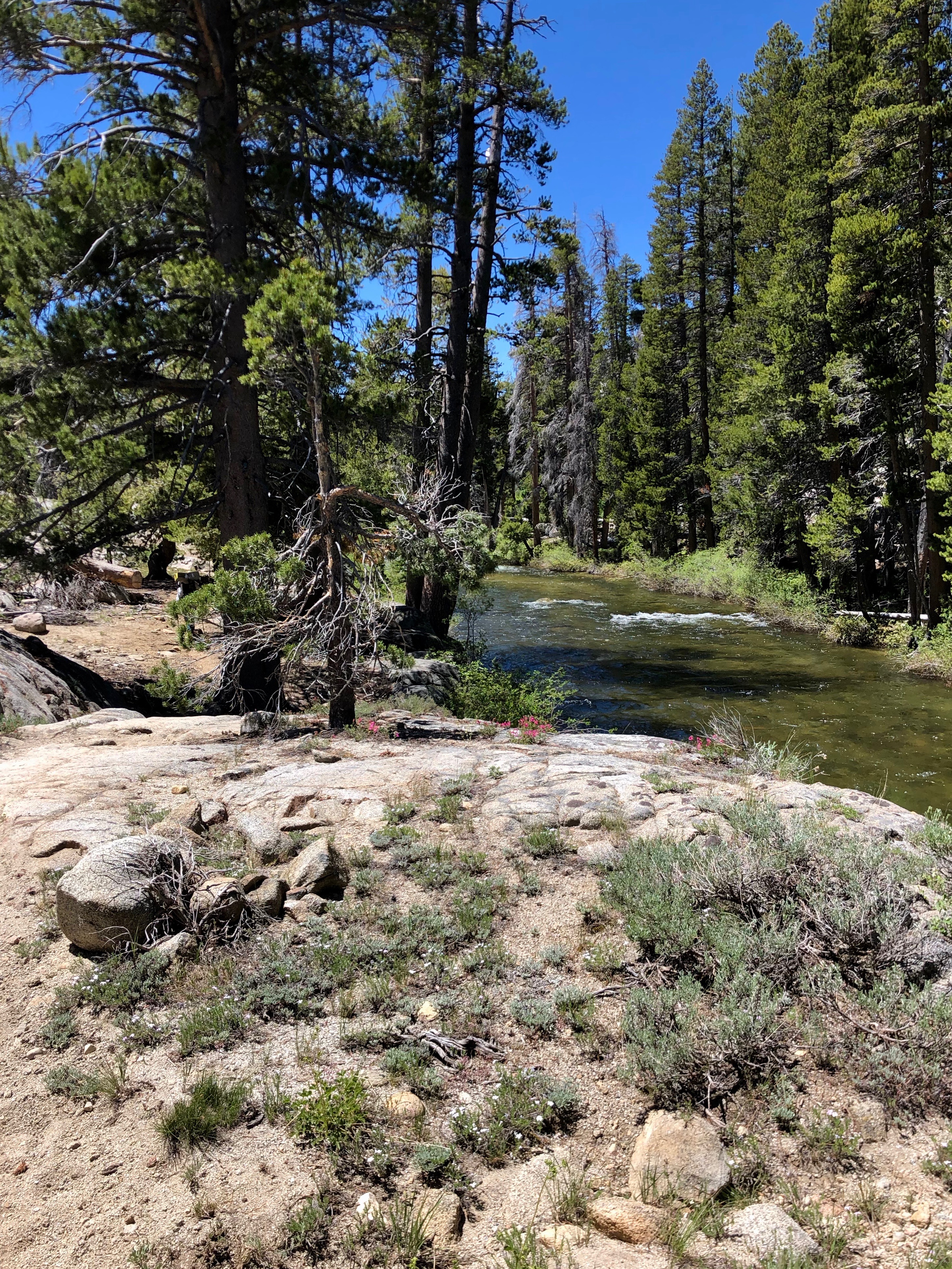
 I love this river. Everywhere I look, sights remind me of Phil Brown and his paintings and pastels of the South Fork of the Yuba. I miss having him in my life, but he left beautiful work behind, and that’s something. By all accounts, he was a beloved teacher, who showed his students how to see rather than just look at their subjects.


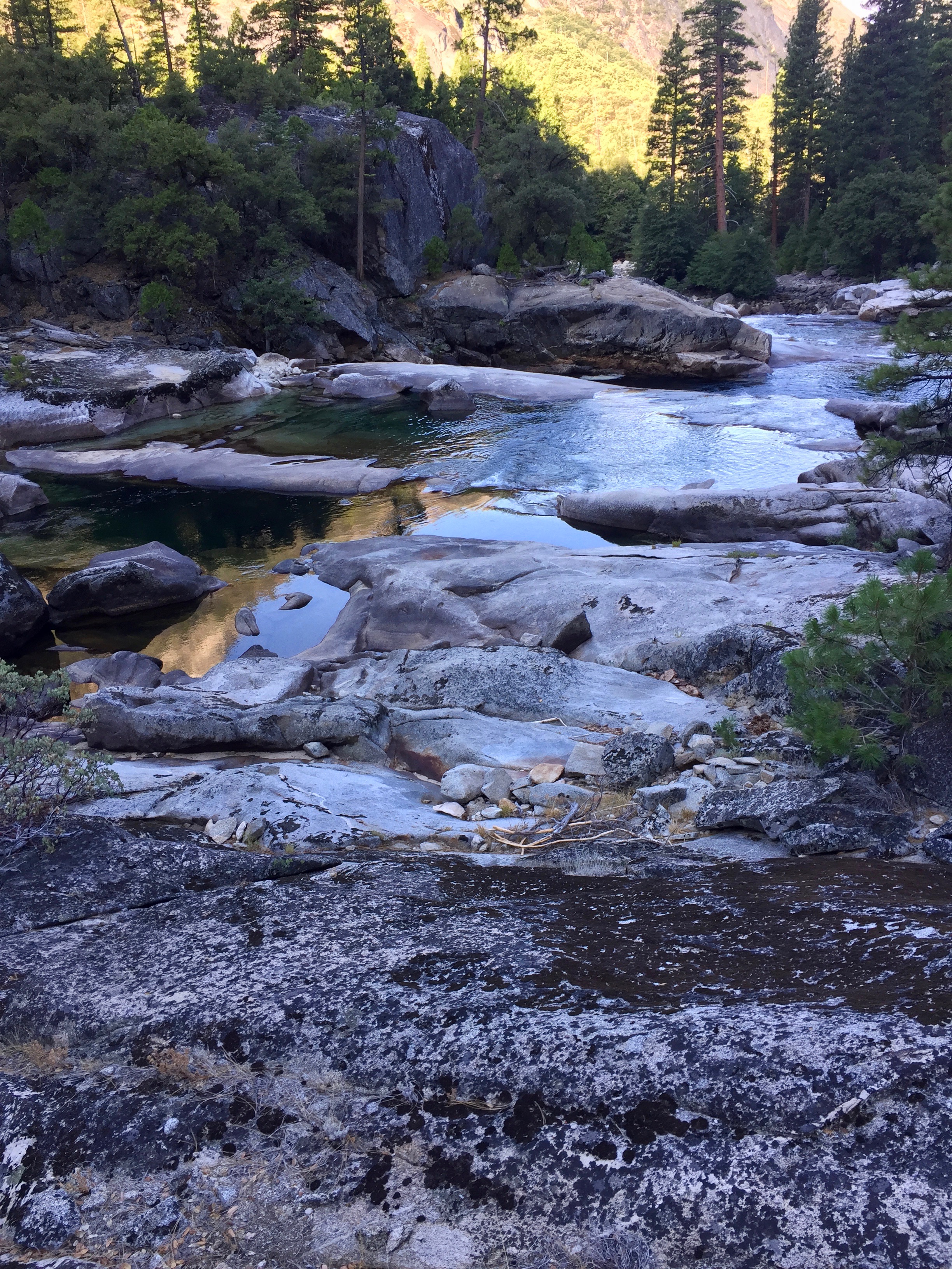


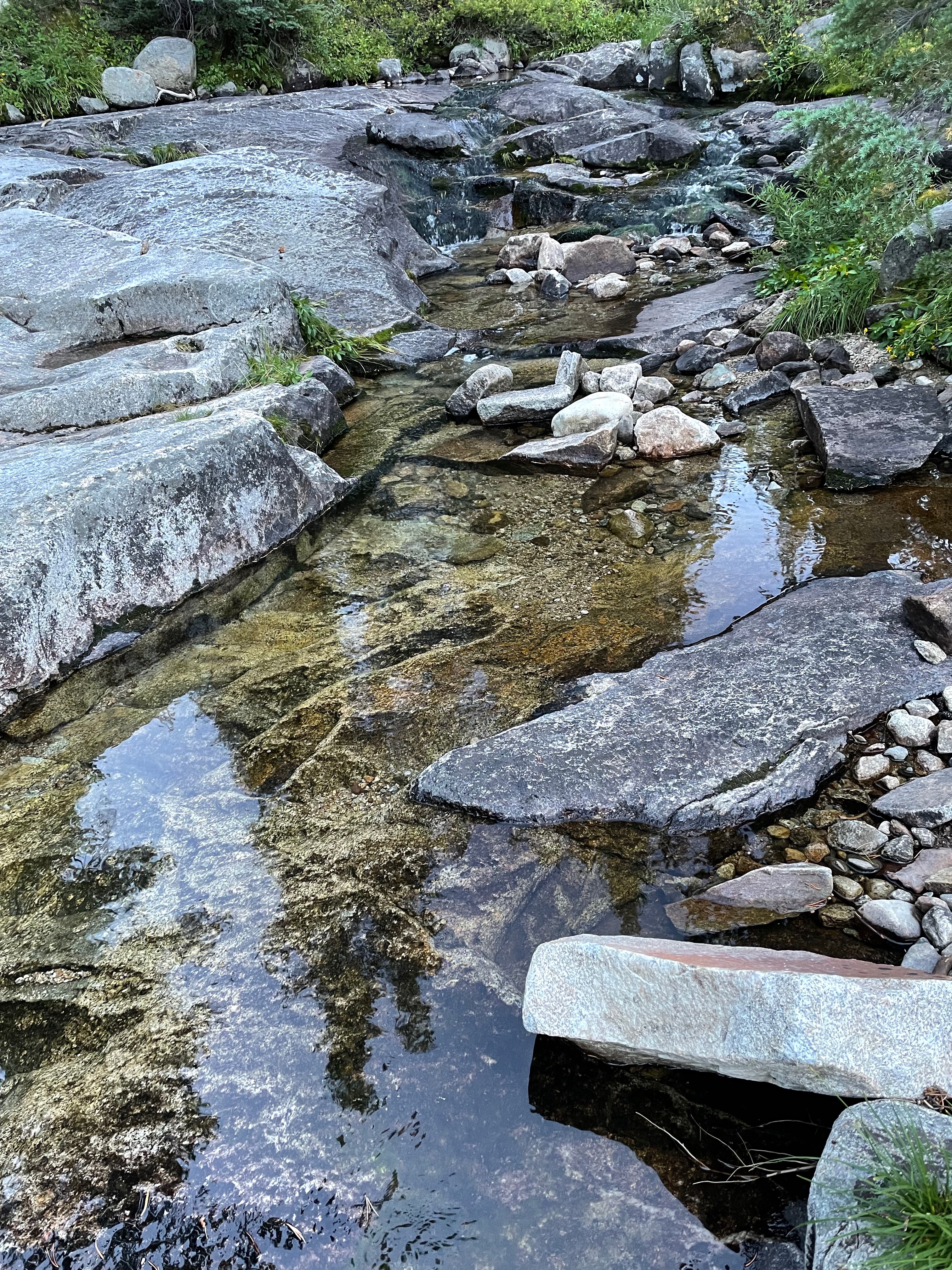
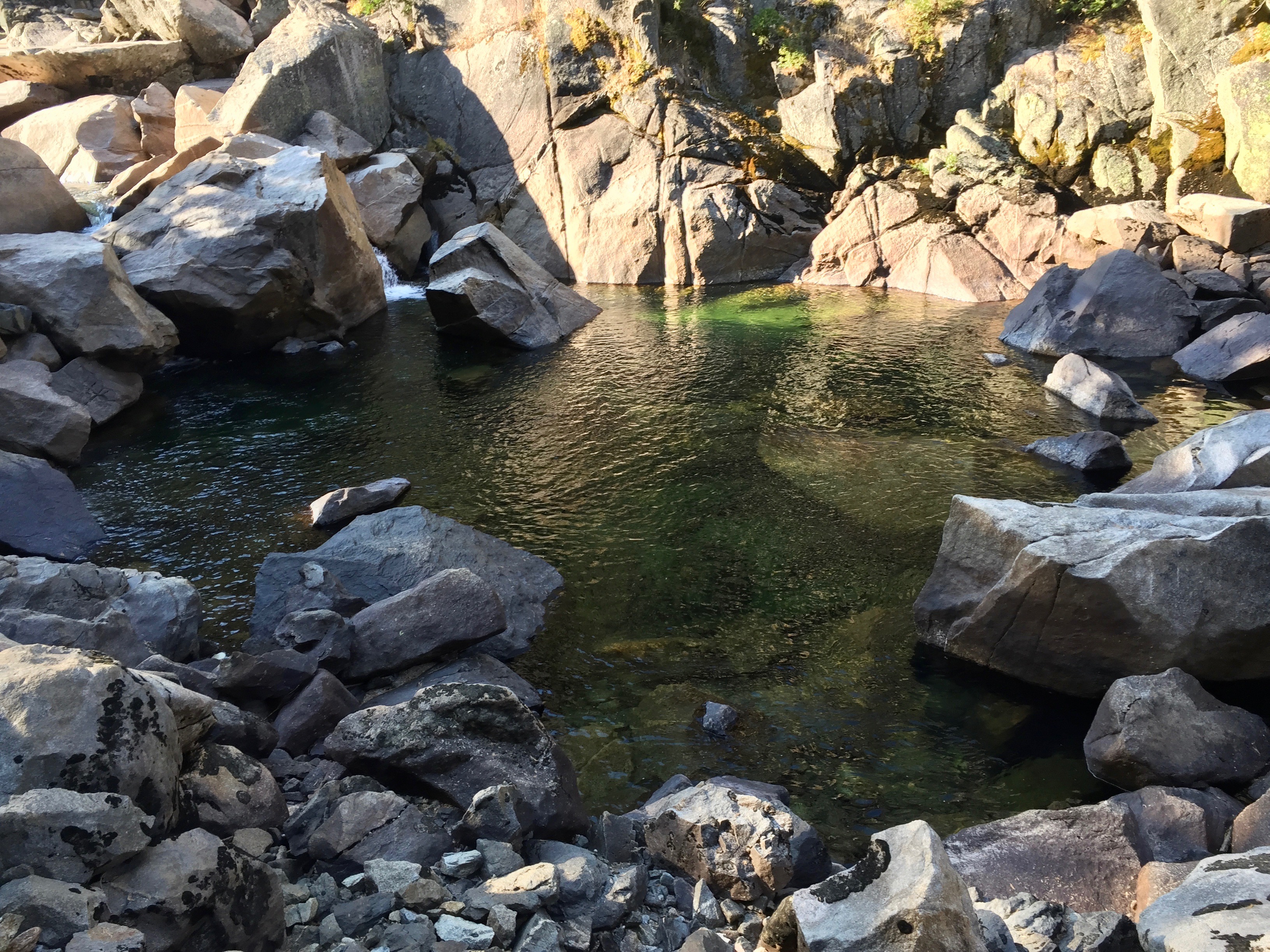
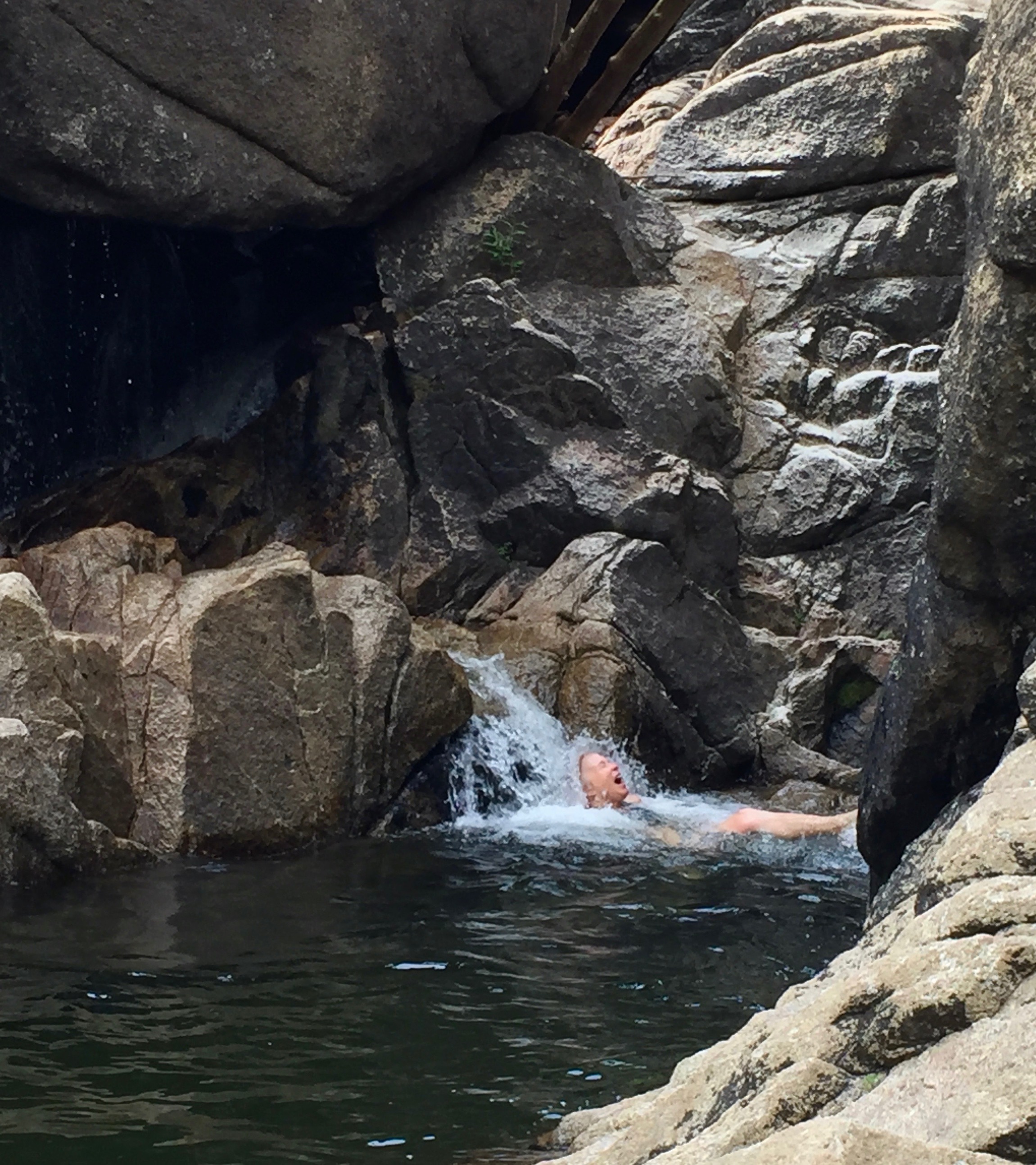
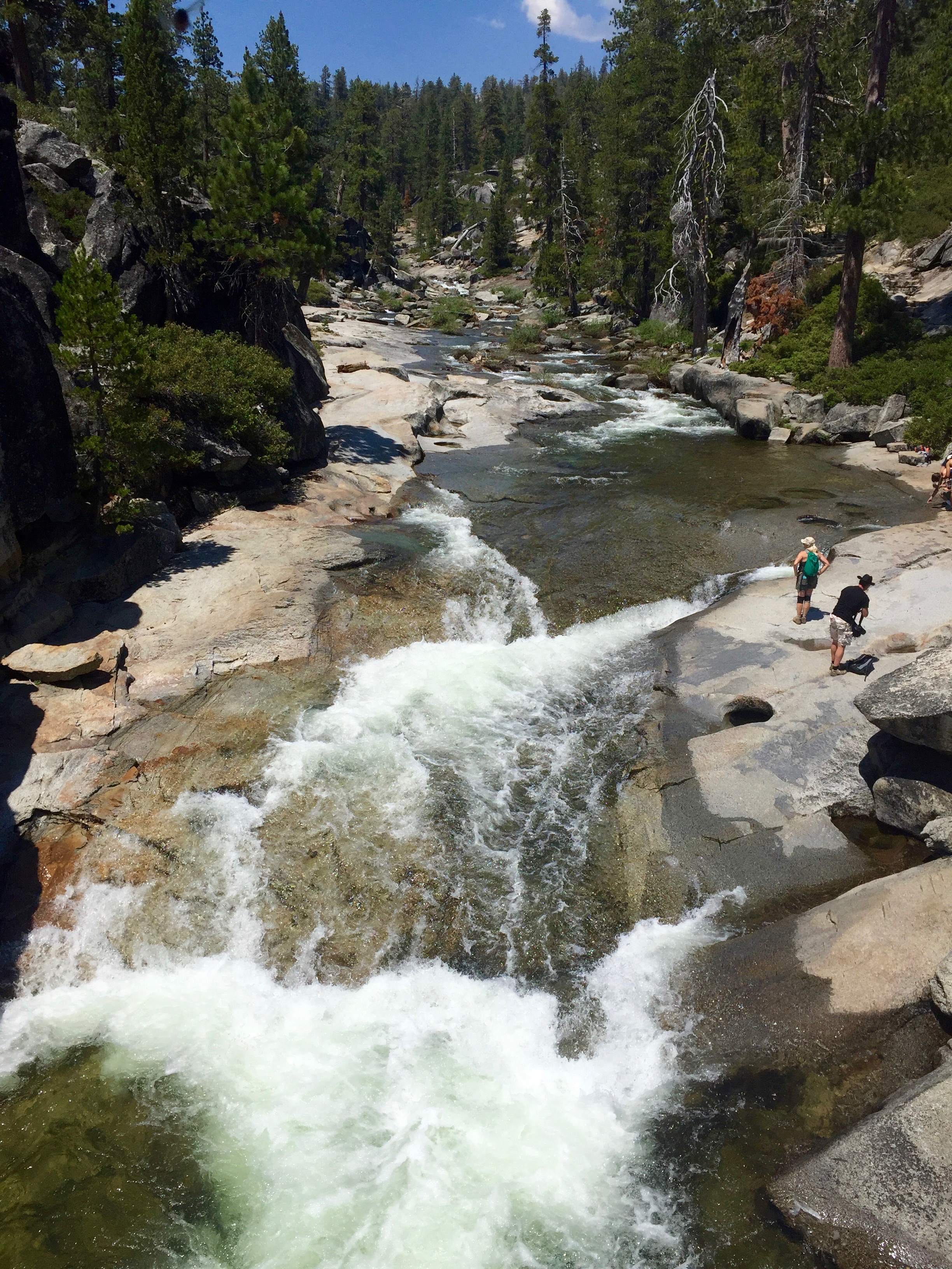
 Later: The swimming hole did not disappoint. We swam, cooled down, and then sat for a long time watching the changing silver-to-aluminum-to-iron-to-gold lighting on the slick, steep granite. I apologize for the following photos. I took them all within a half hour of each other. This was the view downriver from our swimming hole. The light was just changing all the time, and when I went to choose one for this post, I couldn’t decide. But there are probably 6 more that I did NOT include…


 Occasional very distant thunder comes to us from the higher mountains. But I don’t think there’s a chance we will get any rain down here.
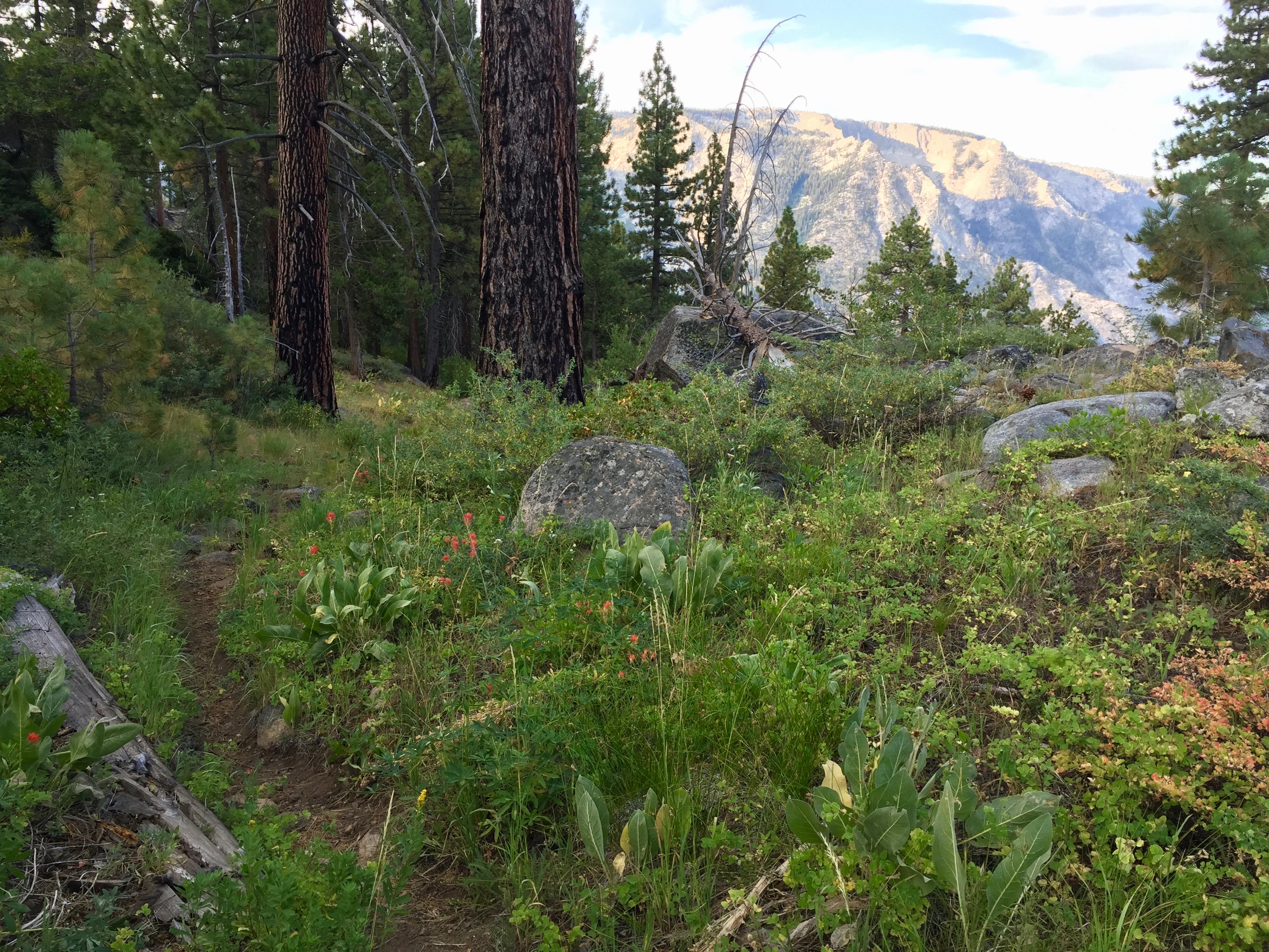


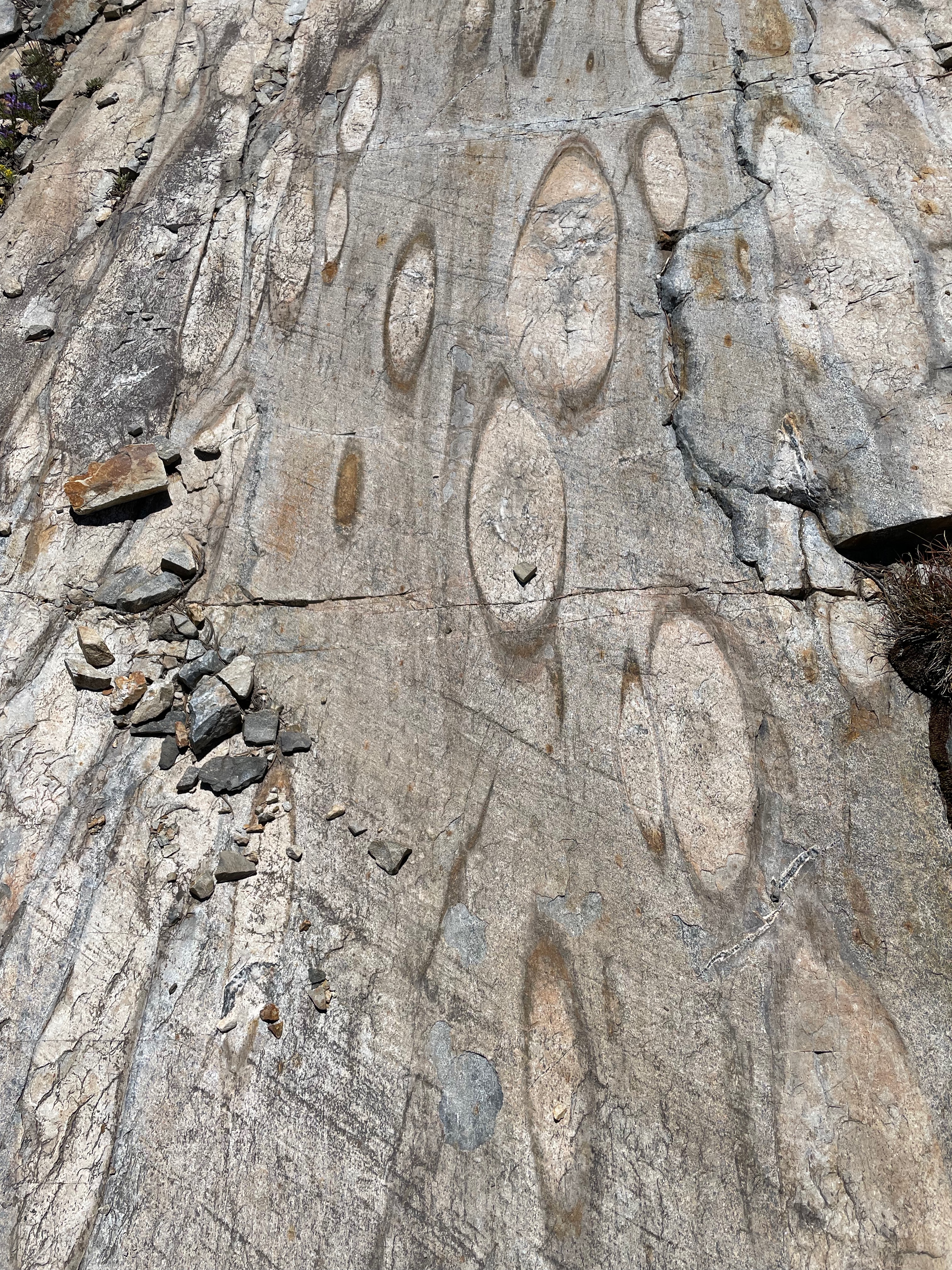
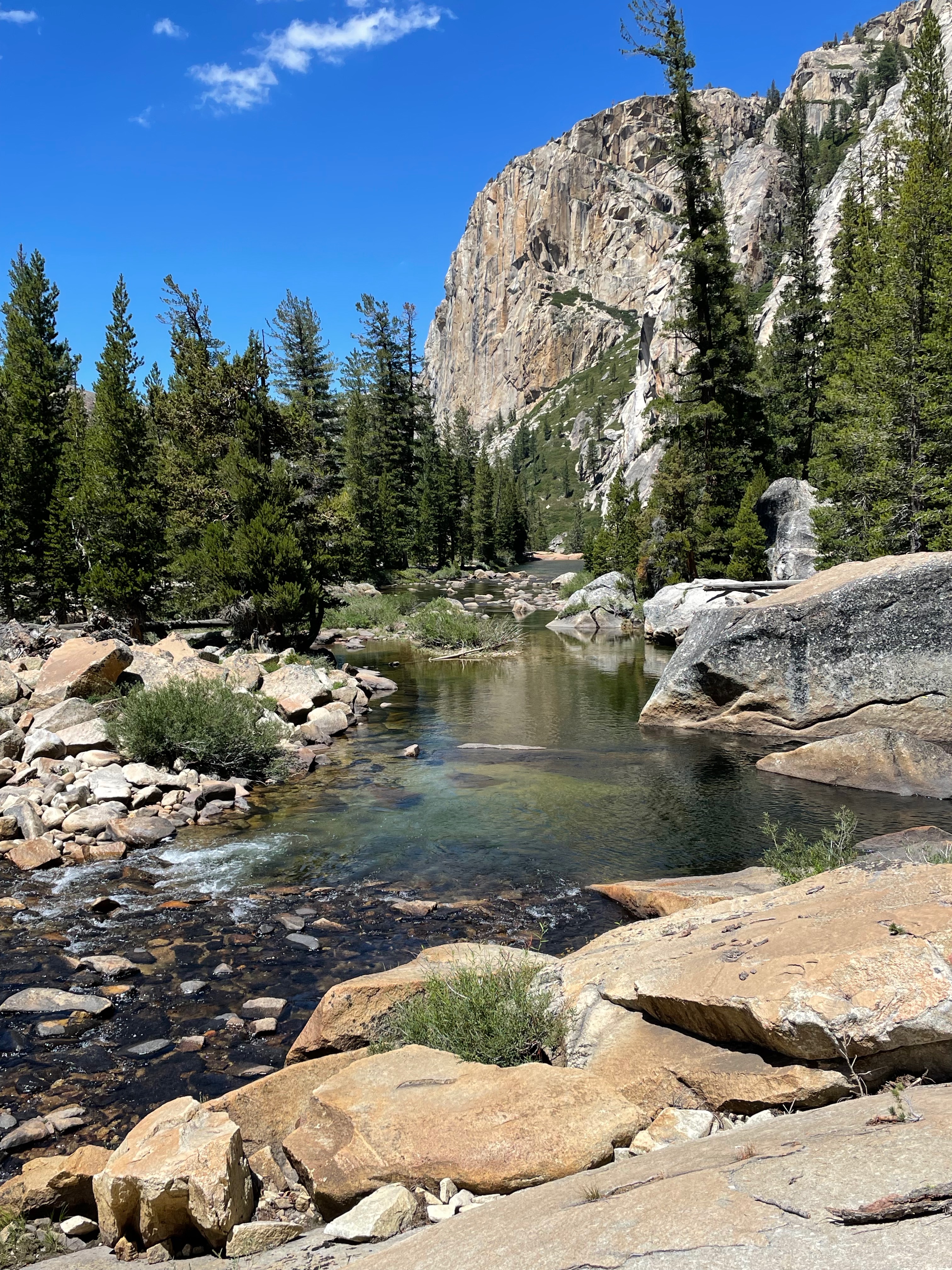
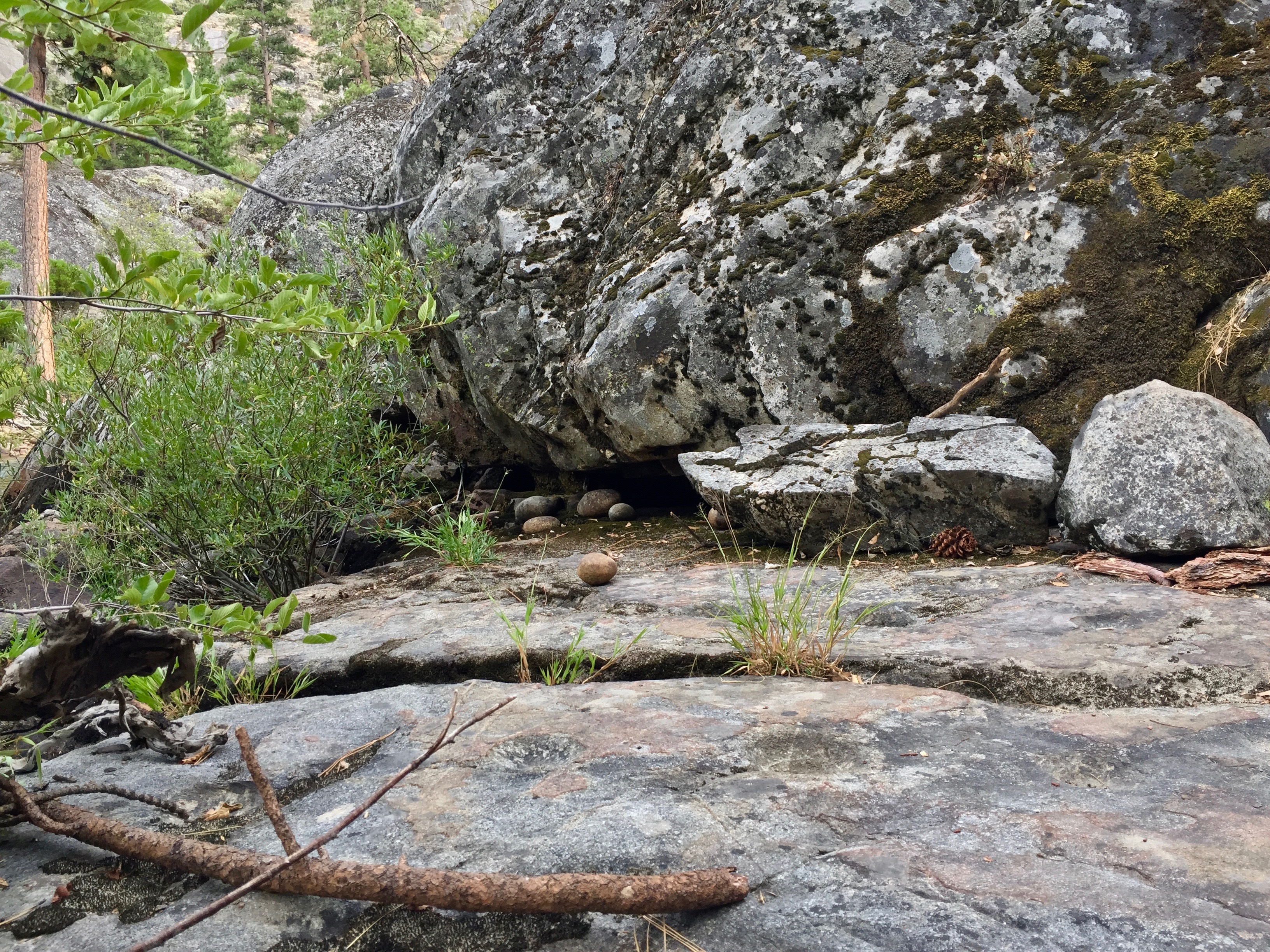
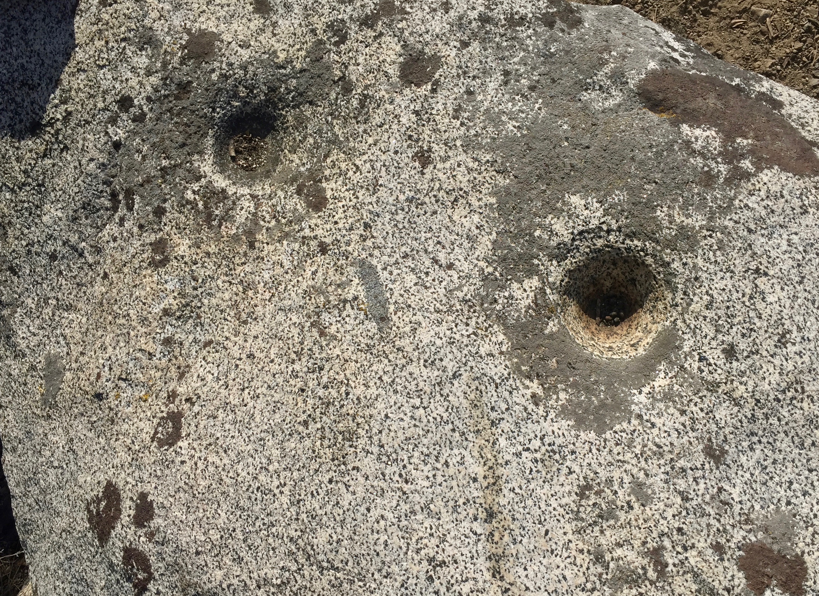
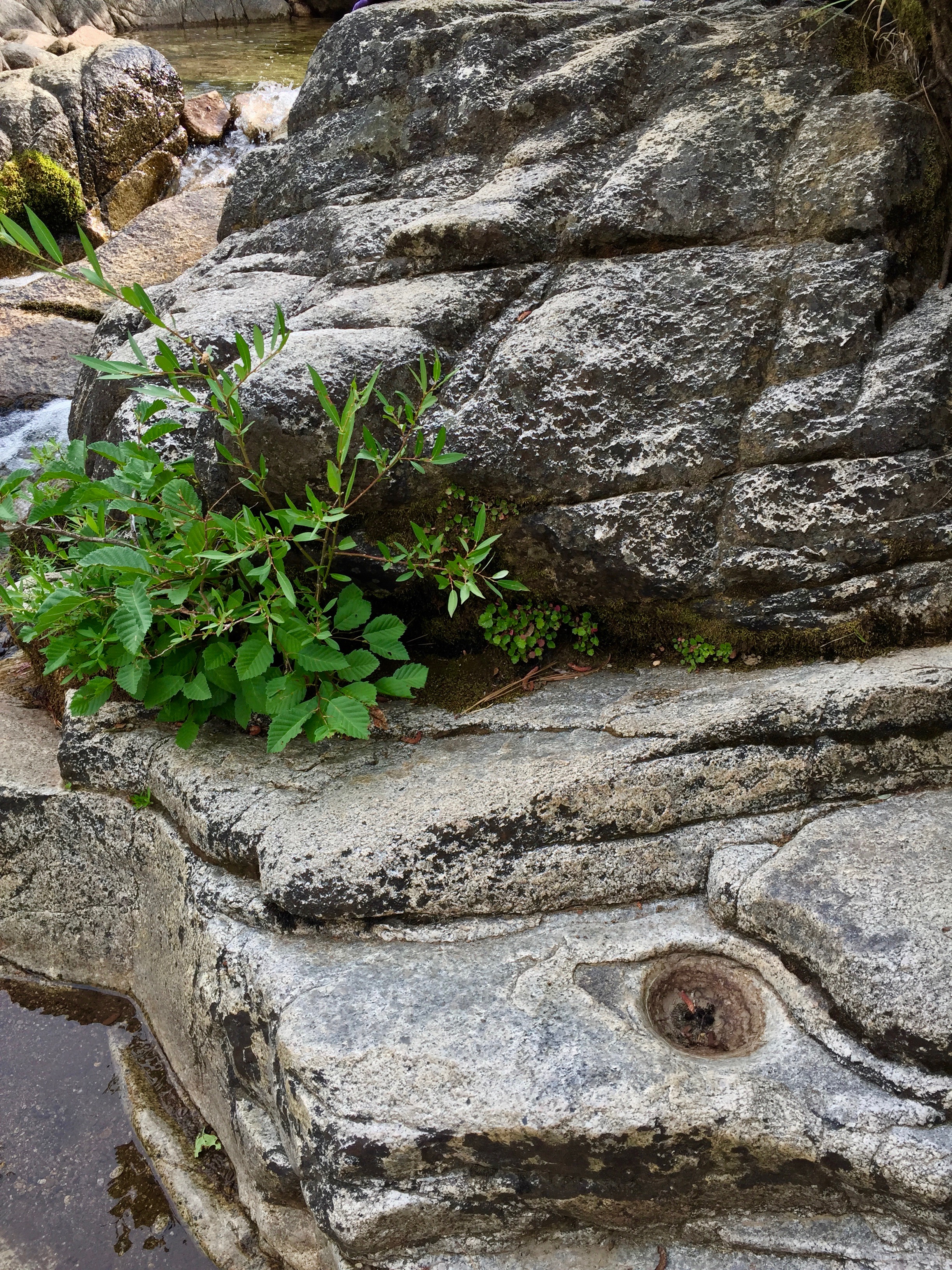
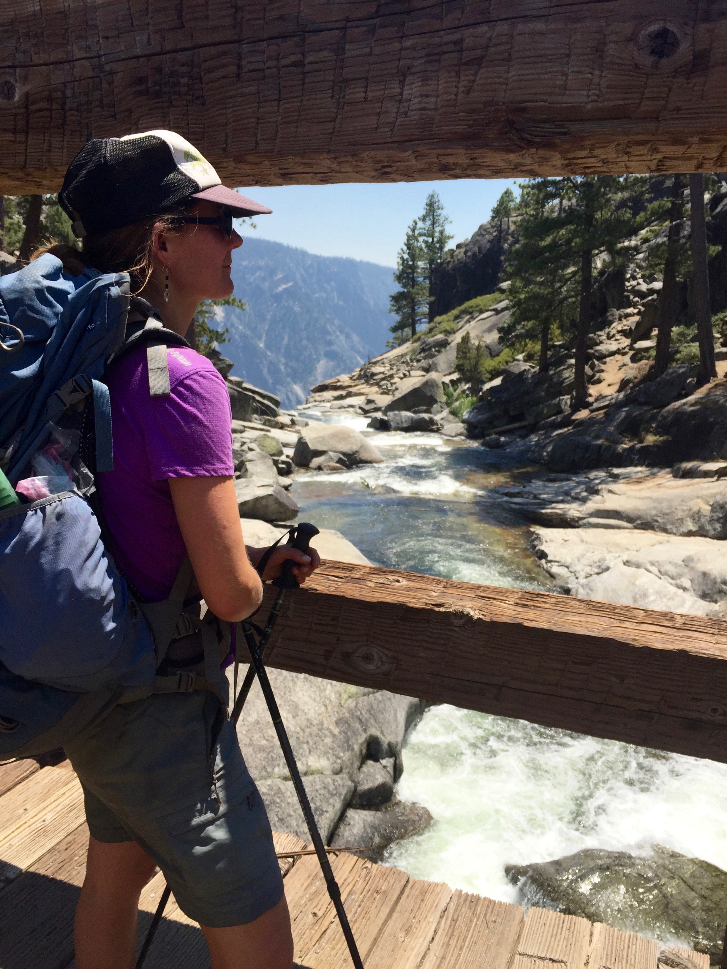
 After a good rest by the river, we walked back the way we had come and farther, past the trail junction, to the Pate Valley campgrounds. Just before the bridge, I noticed a large granite rock and a deep backwater pool, where the main river whisked by to the right. I left the trail to check it out. There were at least twenty grinding holes in the smooth, flat rock, in rows spaced about four feet apart from each other. It was so easy to imagine how the women would have sat across from each other in the rows, working away grinding acorns into flour and most likely gossiping. And when the day got too hot, there was the swimming pool. Under an overhang, on a natural shelf, I saw the grinding stones. We pulled them out and looked, feeling how the smooth stones fit our hands. We found a few that had fallen off the ledge, and replaced them with the others. Apparently, this was a large, seasonal village, all along the river. I imagine that Paiute from the eastern Sierra would come over and trade with the Miwok, and people looked for partners outside of their family group. There would have been a lot to gossip about, probably.
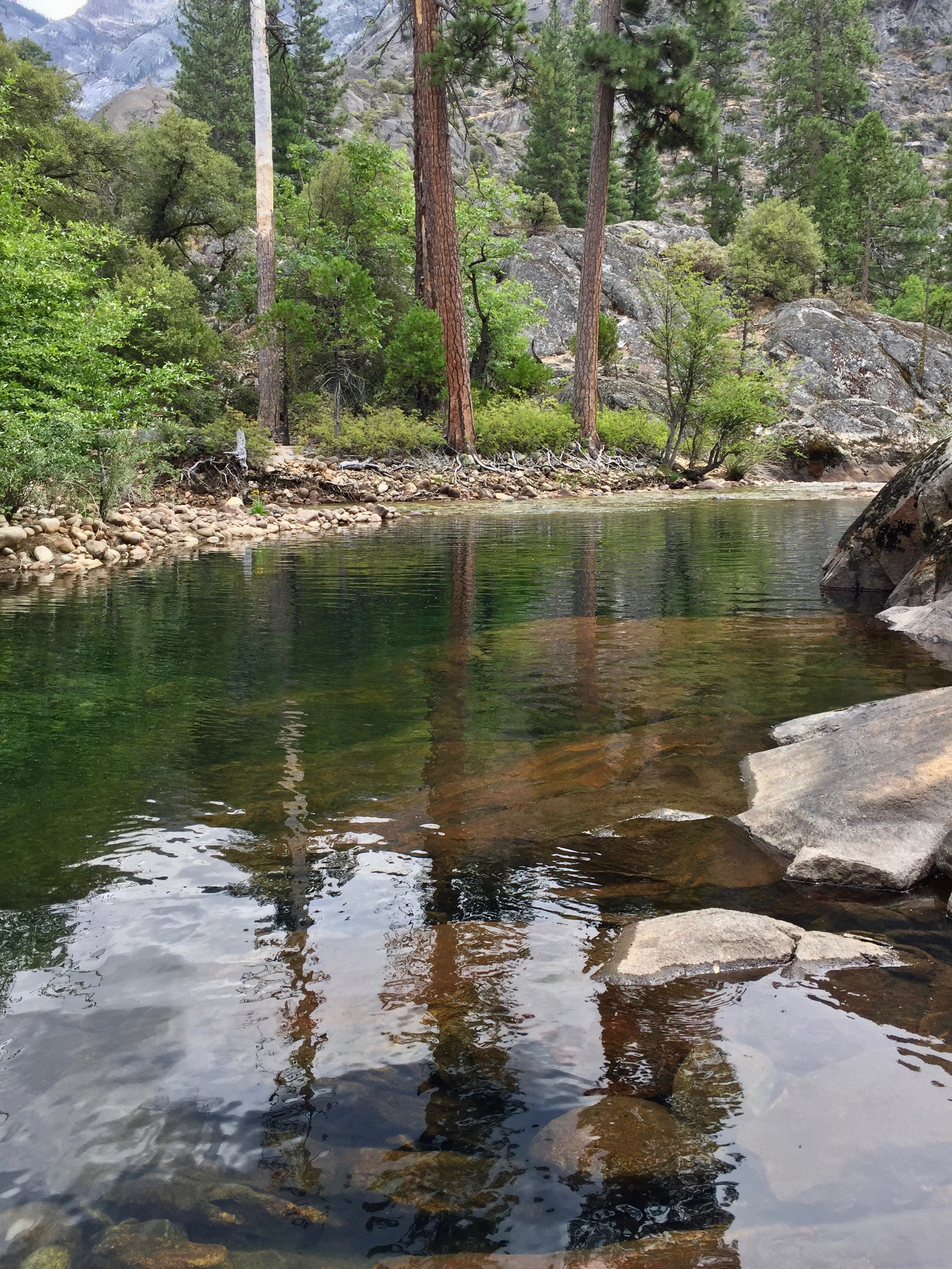


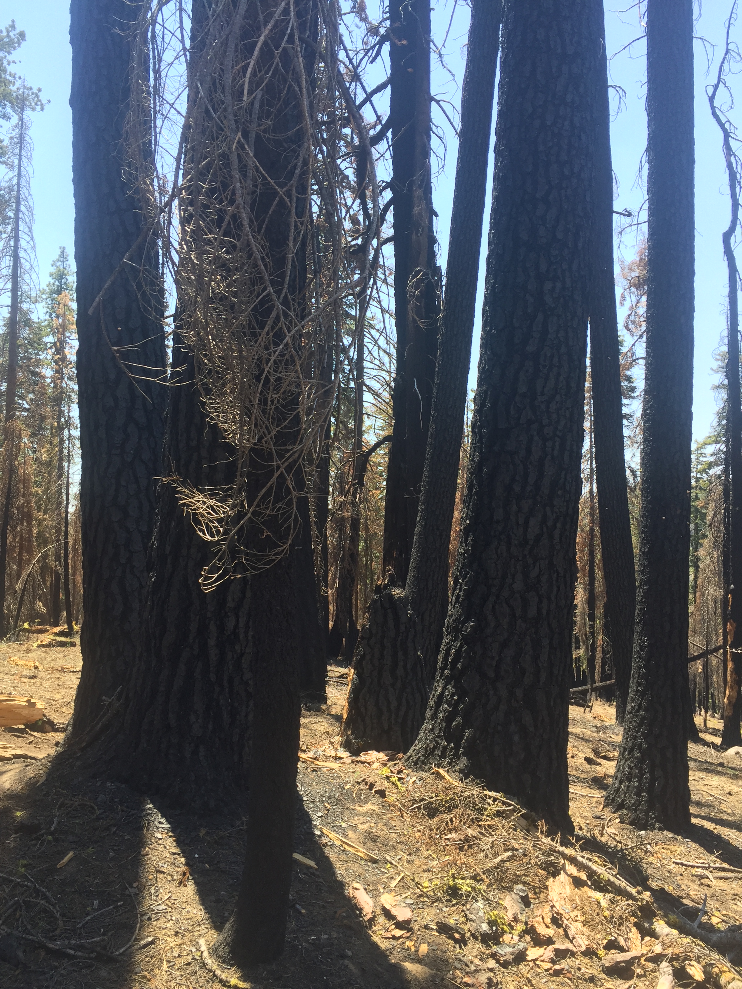
 Now we’re back at the campsite, which is hot, hot, hot. Very little shade, as this area had burned sometime between 1990 and 2009 (according to the

 It is so sad to imagine all the tools and the grinding holes, just waiting for the next year, when they will be taken up and utilized again. But the next year never comes.


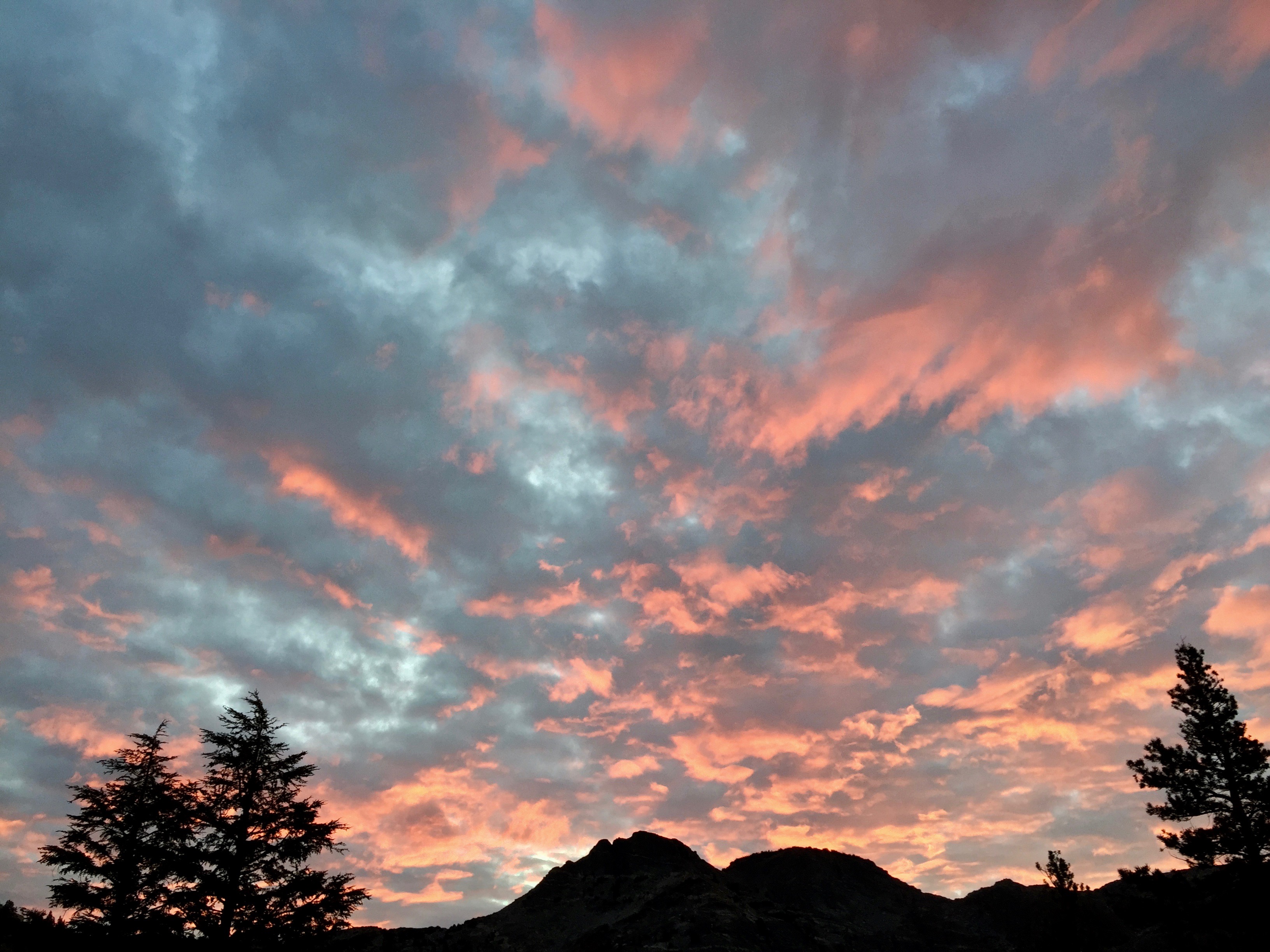
 6:00 AM I woke up to a stupendous dawn—brilliant red clouds above Petit and Regulation Peaks. Rushed out to get photos, and then it was gone.


 Now the clouds are turning pearly with the sun just hitting their eastern sides. Very Italian Renaissance. I had a restless sleep last night. Too dry, and for some reason, even though my tent site seemed level, I kept inching off the sleeping pads.

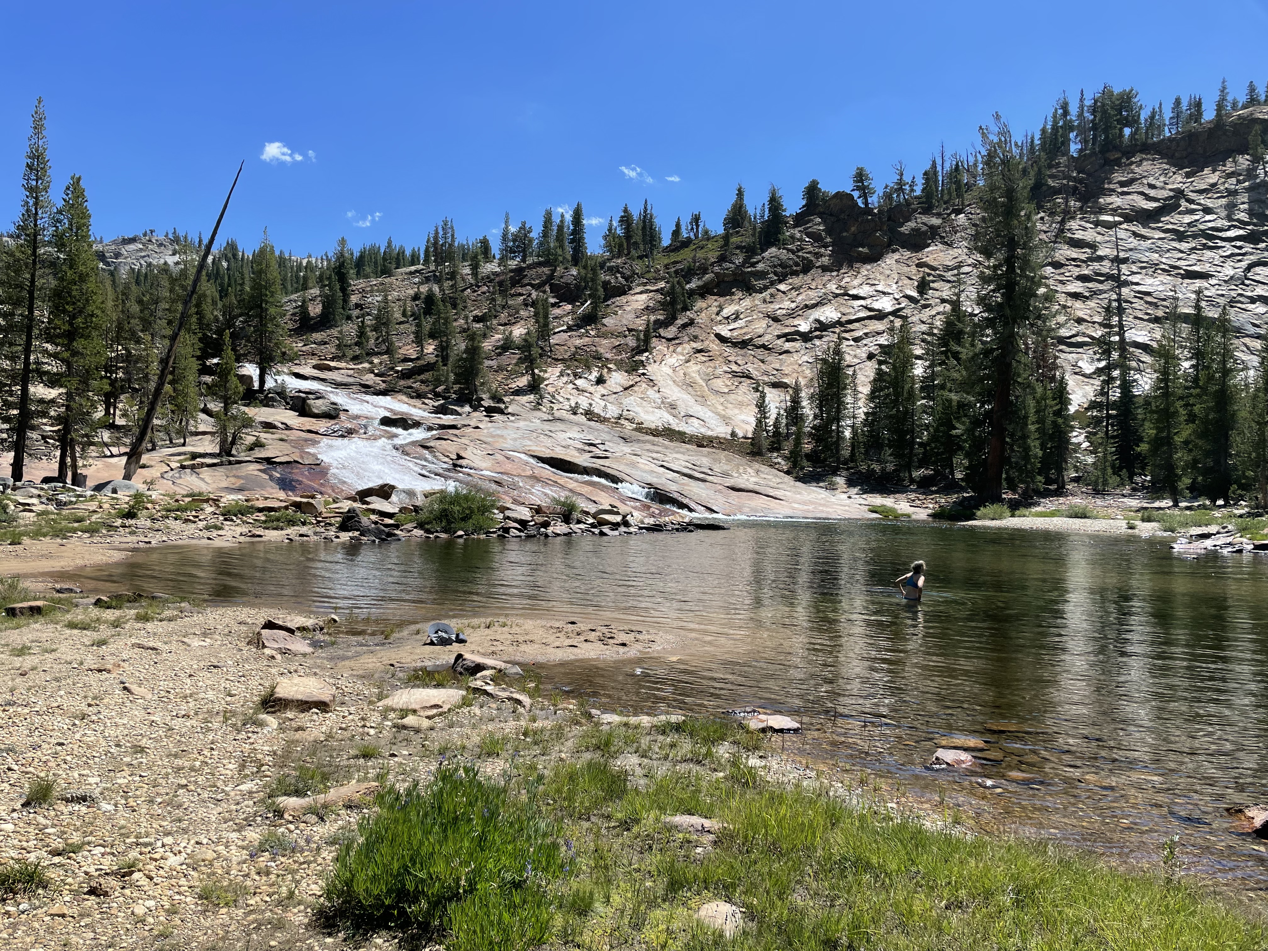
 After breakfast, I took off to explore, and ended up walking around the lake. It was challenging. No trail, and a few boulder fields to navigate. It was great to see the changing light as the sun cleared the ridgeline. Barbara and I had decided that we didn’t need to leave this idyllic place until afternoon. Today, we plan a fairly short hike, all downhill. Much of the way around the lake, I was thinking, “If it gets more difficult, I can always turn around,” but then it looked like I was over halfway around, and I committed to keep going. For the first part of my circumnavigation, B and I communicated via yodels (I had taught her how to yodel on our last trek, and she was an excellent student), but after awhile I was too far away.


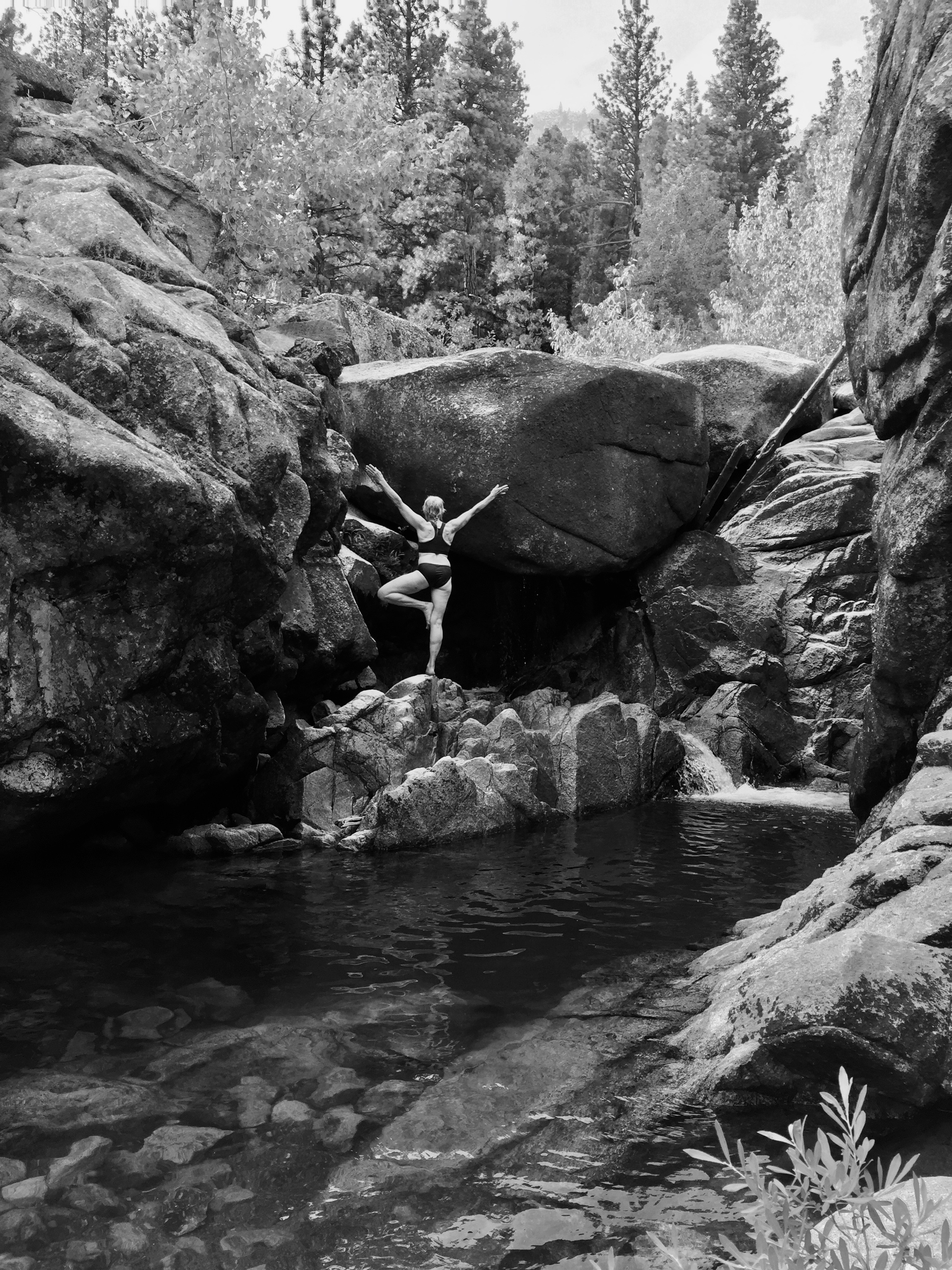
 I met up with B back around at our first resting place of yesterday, and we walked back to our rock and took a swim. It took a long time to commit to the water, as it’s pretty cold. But we’ve definitely been in colder water. I feel so wonderfully alive!


 After descending Benson Pass, we started seeing people, and counted 20 on the trail today, but there hasn’t been a soul since we took the trail less traveled. There were many long-distance hikers, from Bend and Ashland, OR, and Shasta, and who knows where else. One guy had been hiking for six weeks. He said he had hiked the entire PCT a few years ago, and now he’s just going slow, stopping to fish and enjoy the scenery, actually experiencing the places he raced through before, and resupplying every 75 miles. We asked him if he ate the fish he caught, and he said no, most of the time it was catch-and-release. Then he educated us about the difference in flavor between brook and rainbow trout. I had no idea. Apparently, rainbow is much more “fishy” tasting (I guess that means brook trout must taste like chicken).
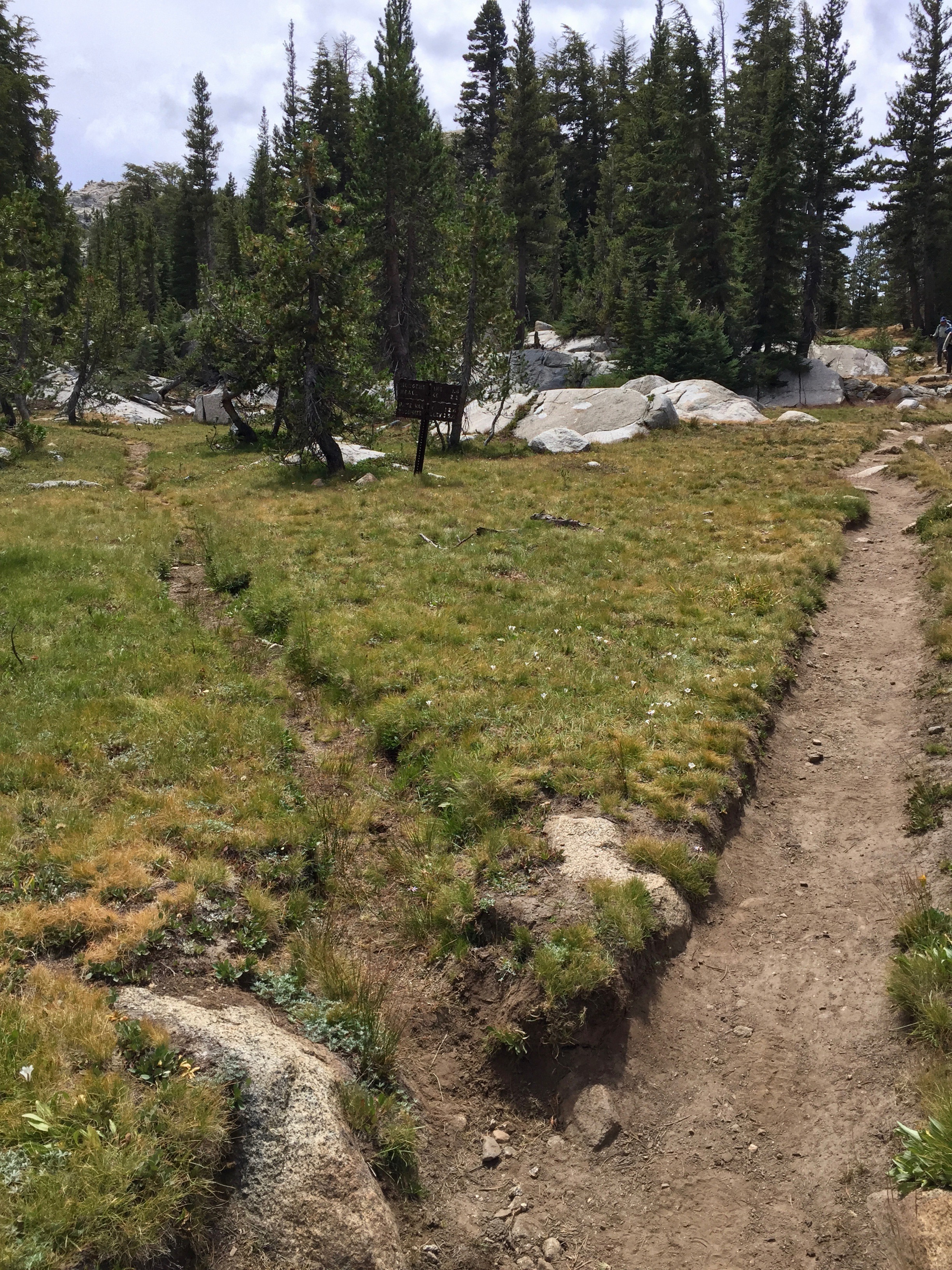


 For some reason, my back is extremely sore today, right in the spot where I fractured two vertebrae in our 1994 car wreck. I am very, very pleased to find out that Barbara gives a great back massage! It helped me so much. Grateful for those strong piano hands!
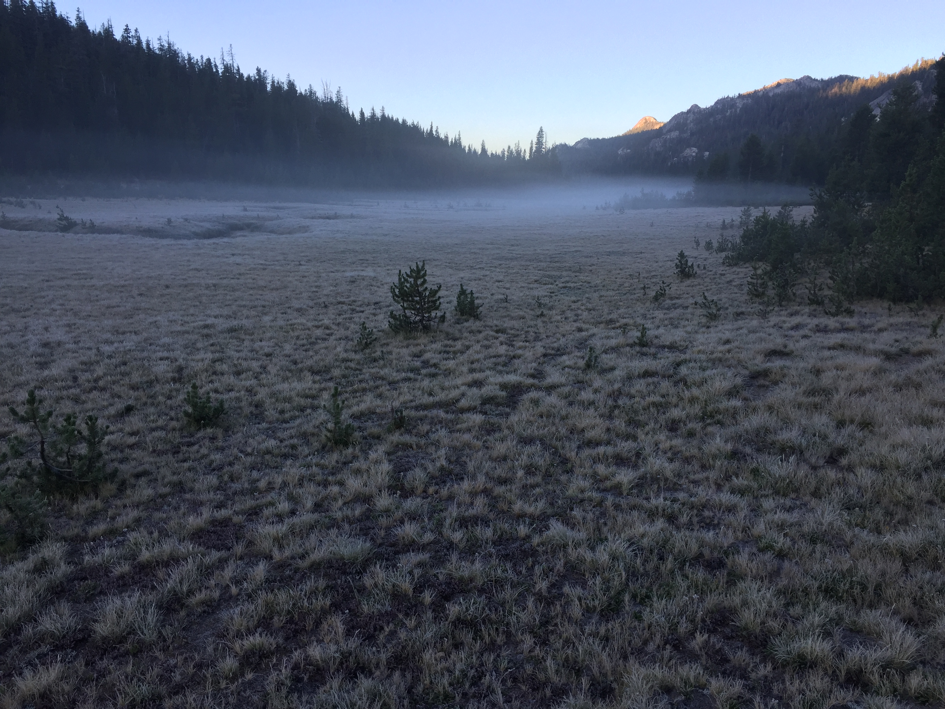

 A grueling day! I had a bad night of very little sleep, though I was rewarded by the sight of a long, bright meteorite streaking across the velvety black moon-free sky during one of my awake and out-of-the-tent moments. I couldn’t get comfortable, and it was cold (unless I hunkered down in the bag). We camped in Cold Canyon, just past Cold Mountain, and it is aptly named. I got up at 6:00 AM to the meadow covered in frost and a low white mist just below us. Then, when the sun finally hit, the ground sparkled like diamond dust. It was very dewy last night, and we had to wait for the tents to dry before we could pack up.
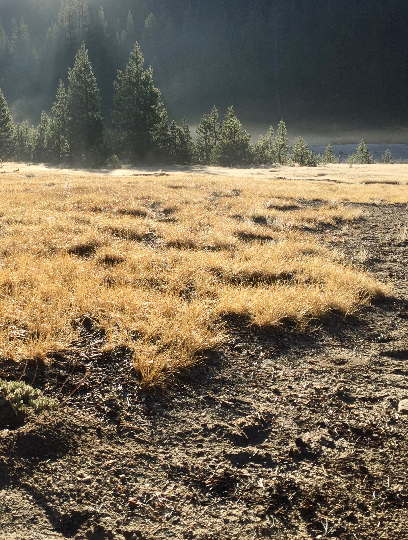


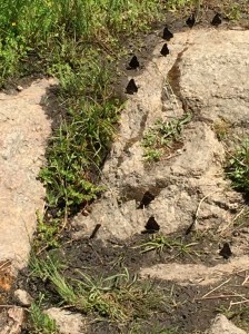
 The trail, through lodgepole and sugar pine and various other spruces and the like, led through meadows alive with flowers and butterflies. There were little white ones, orange ones, and on the way down some of those beautiful tiny Sierra blues. Chickadees sang “‘Bye, Laurie” to me as we walked past. Stopping to rest at one point, we watched a whole family of marmots waddling among the rocks. Chipmunks and ground squirrels ran hither and yon. It was a beautiful morning!


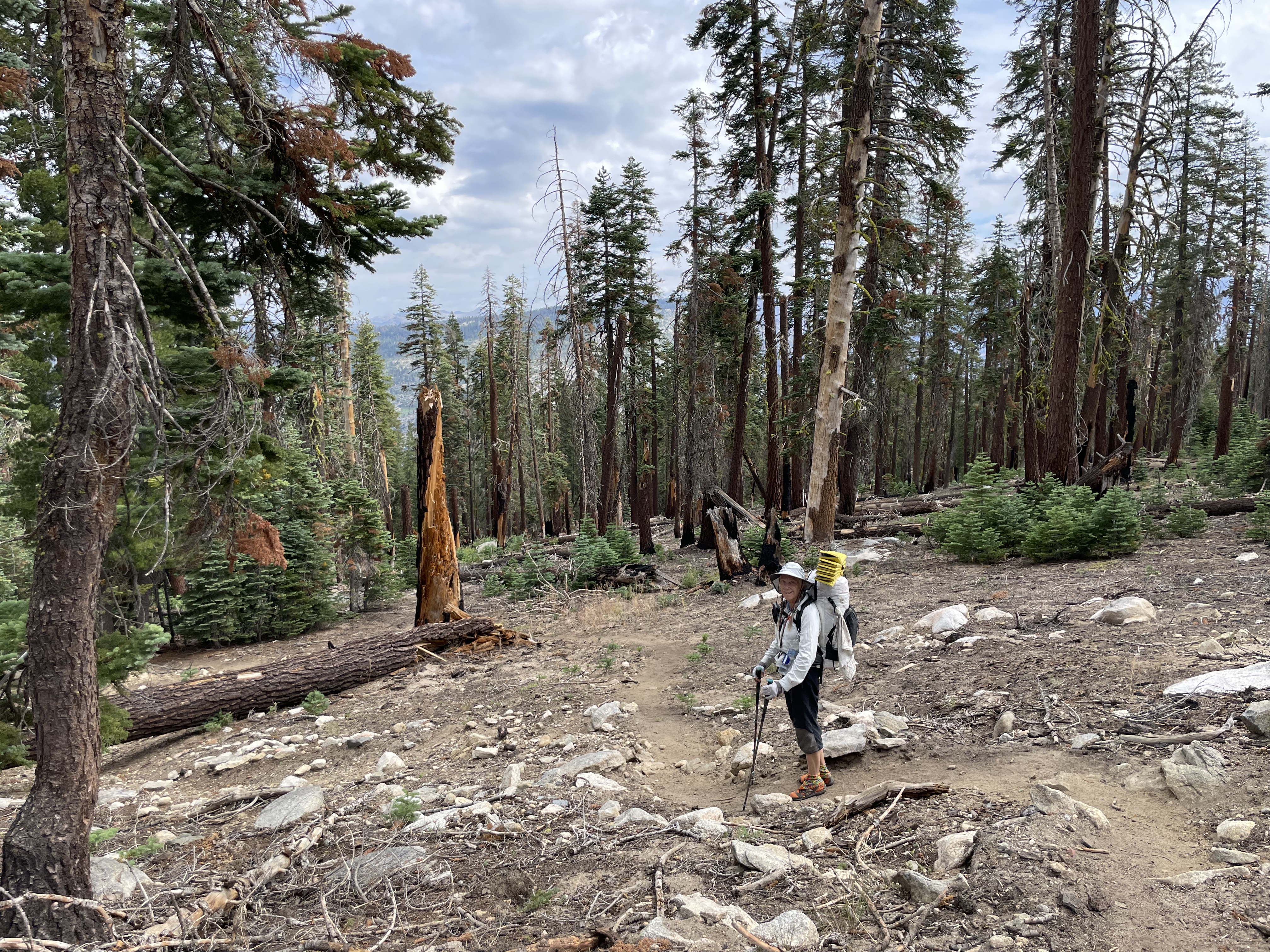
 The last bunch of switchbacks to Timber Gap were a little daunting—more psychologically than physically—because I couldn’t tell where we were headed. I’d think I’d see the Gap ahead of us, but then the trail would make an abrupt turn and I’d have to rethink where we were going to reach the top. And then suddenly, there we were at 9,500′, and it was all downhill from there. True to the name, Timber Gap is pretty heavily wooded, so not much in the way of views.
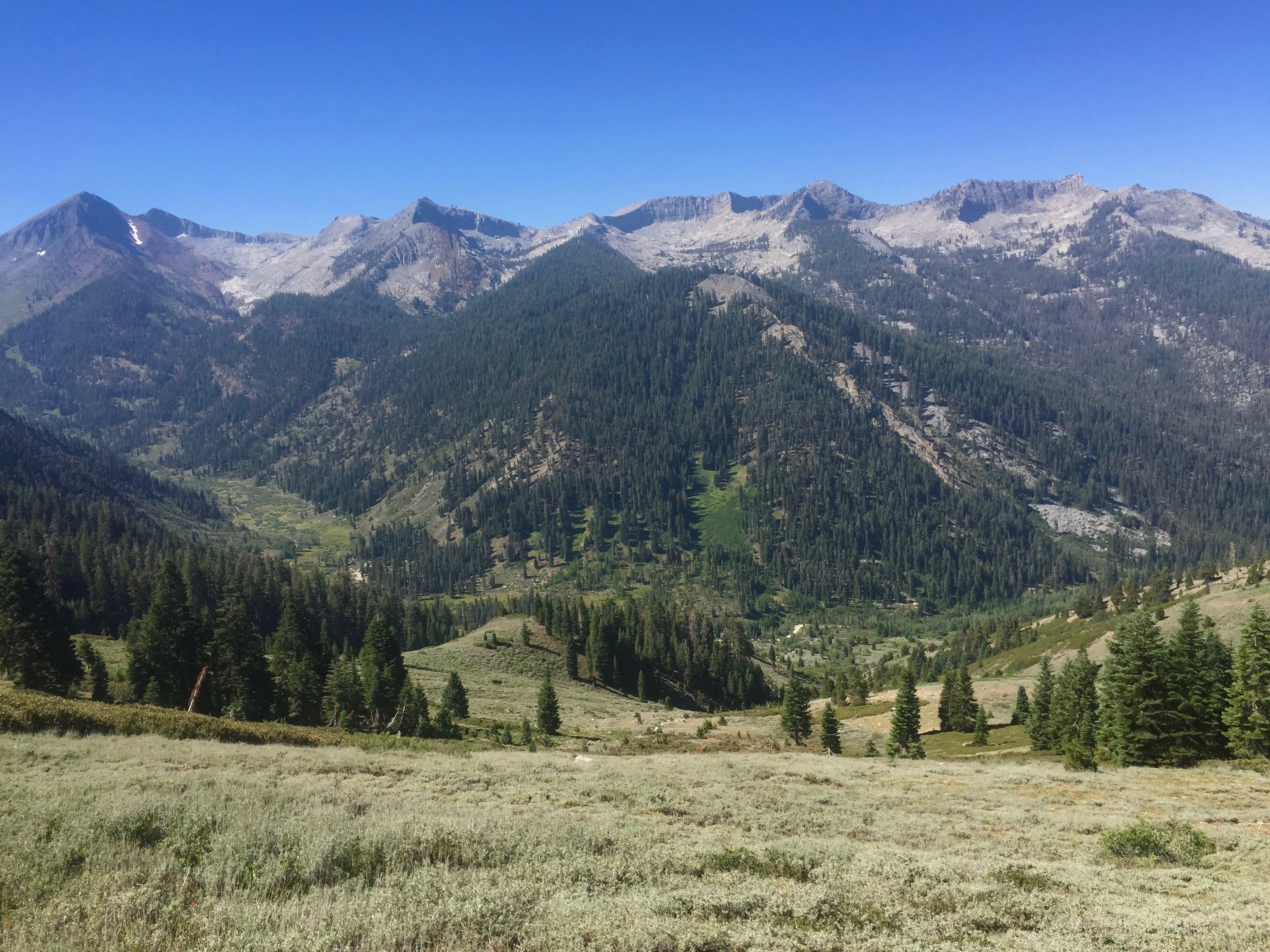


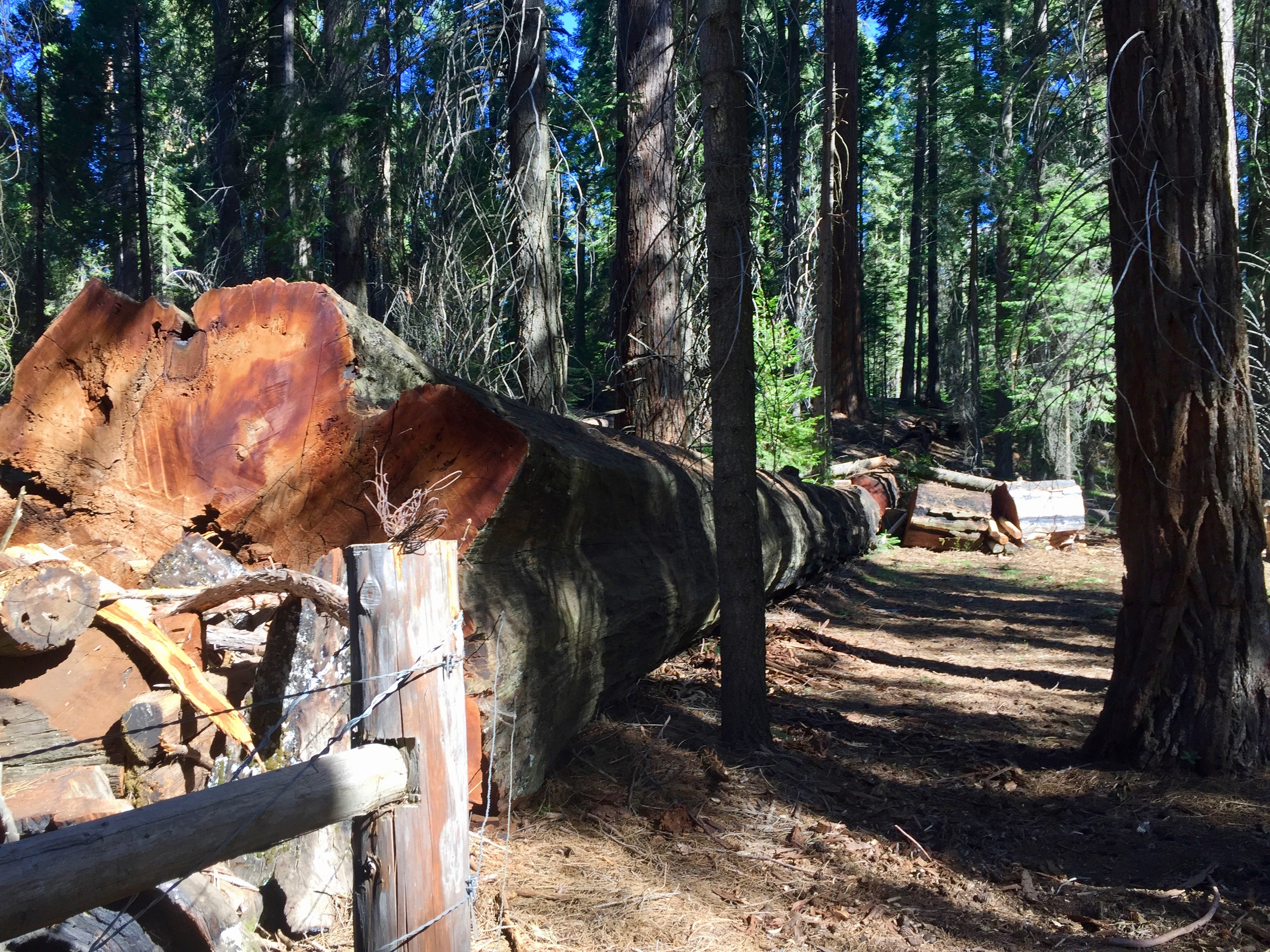
 Driving out on Mineral King Road, we passed through Atwell Mills, and were awestruck, and saddened, by the size of the Sequoia stumps everywhere. Then, farther down the road, we looked back the way we had come, and could see Sawtooth Peak and the beginning of our hike.
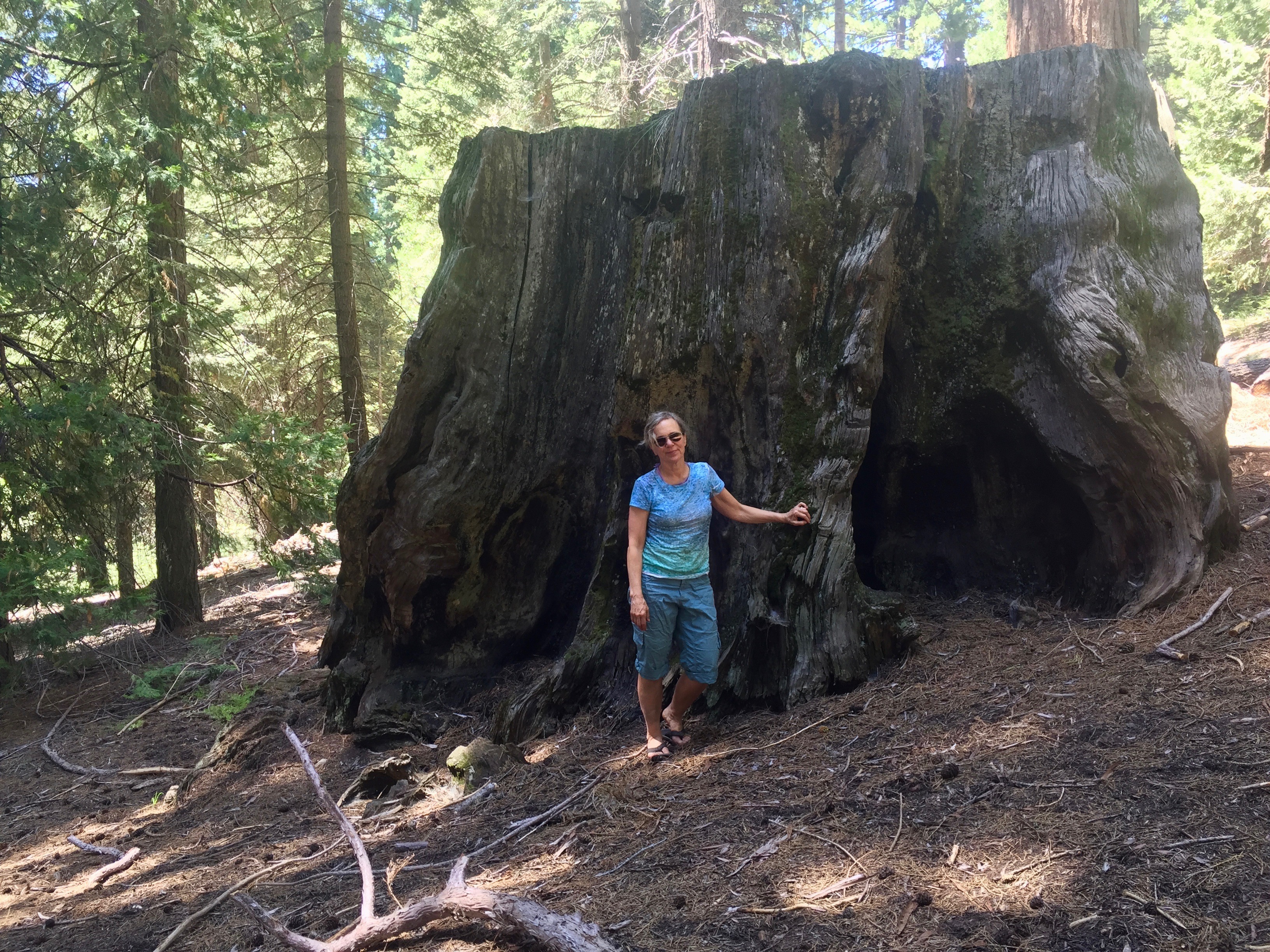


 3:50 PM


 I slept really well! Woke up at about 4:30, and then slept again until 6:30. The day is clear and perfect. The sun hit our camp after a couple of hours. We have the morning to laze around, dry out our clothes, take a swim, and then hike down to Bearpaw Meadows. I am so sad to leave the high country, but the silver lining is being able to sleep again. I guess…


 7:00 pm


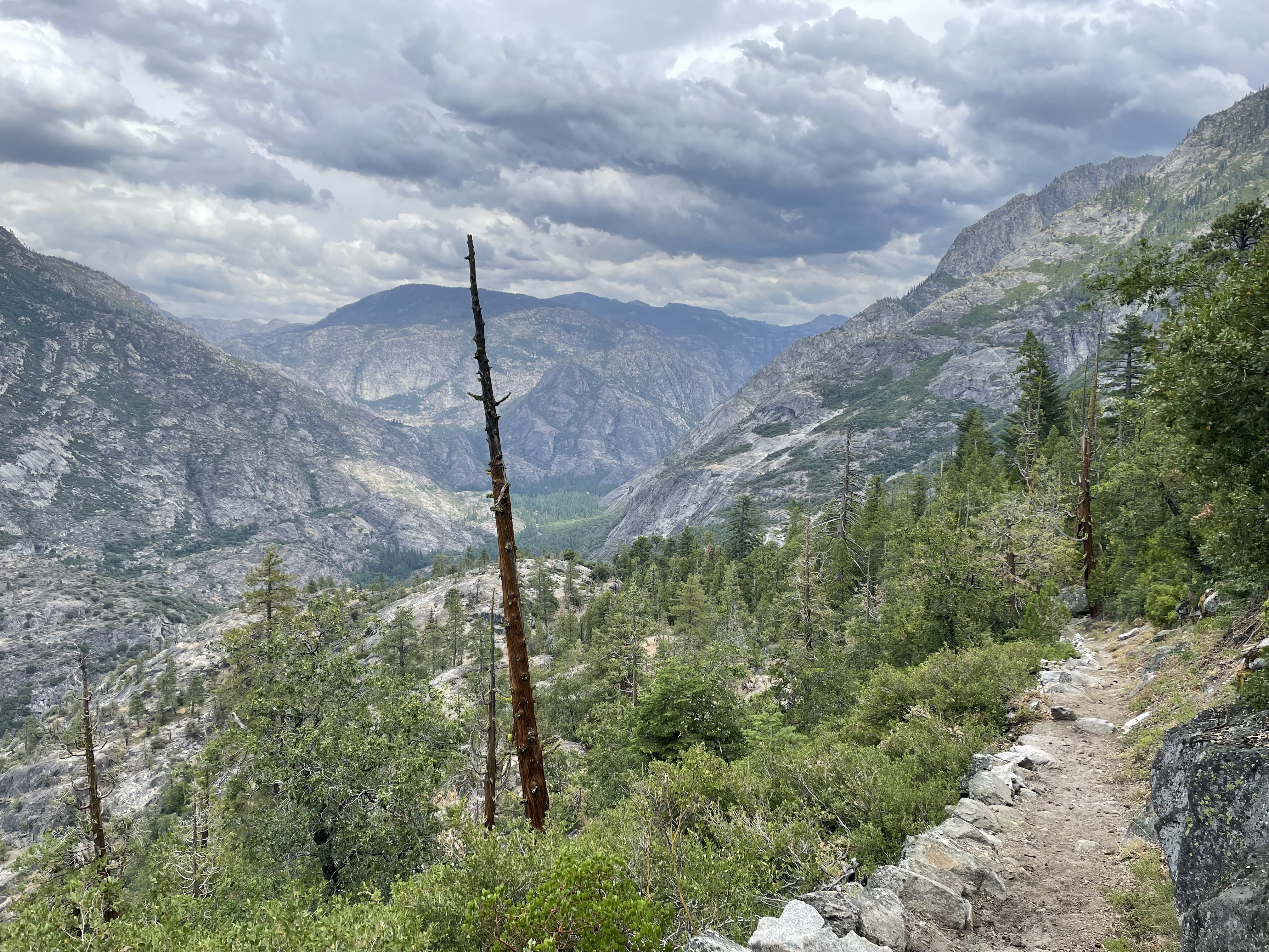
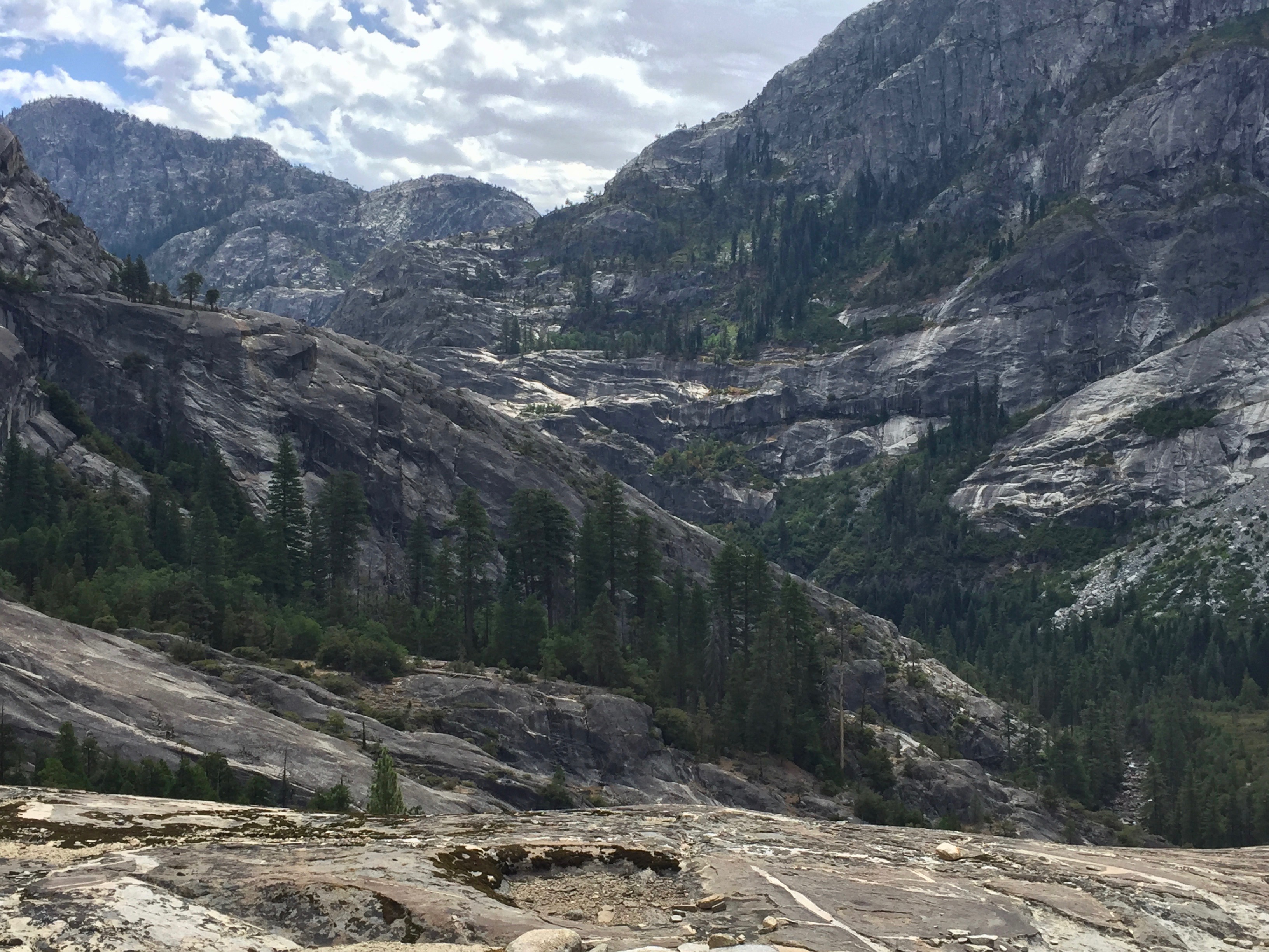
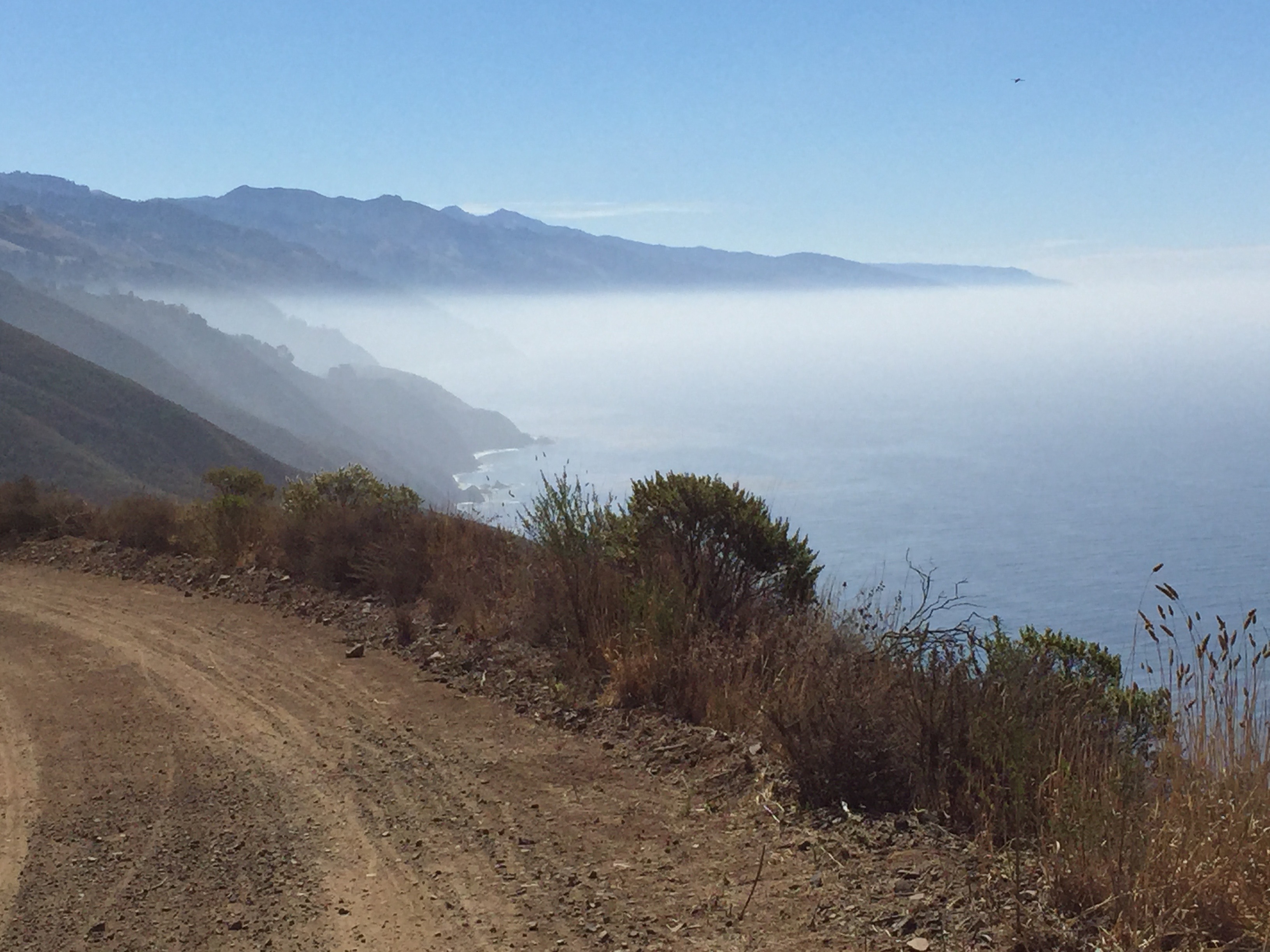
 We descended from Bearpaw through beautiful oak and madrone forests, down to 6100′ elevation. Such a change of scenery! We were enthralled, rather than being disappointed, as I had anticipated upon leaving the high country. Tomorrow morning, we will be in a Sequoia grove, which we are really looking forward to. I had just been reading about John Muir’s trek to this area to document the Sequoia groves. He said that there was a wide swath of the trees, from a mile to three miles wide, stretching all the way from what is now Grant Grove in Kings Canyon National Park down through the very area we are in now. He had written his dispatch from the Middle Kaweah River, which we had just crossed a couple of hours ago. All along the trail, I was imagining coming around a bend and seeing the giant broccoli tops of Sequoias rising before us. It hasn’t happened yet, but maybe tomorrow.


 B had a nose bleed in the middle of last night, while I slept the sleep of the dead. She was up dealing with that, and I guess finally got it under control. She said the inside of her tent looked like a murder scene. Poor thing! This evening, something stung my torso, and I momentarily imagined that I would get some sort of allergic reaction, but luckily I didn’t. It hurt like hell, though. Because we thought that someone else might want to show up and share our camp, we placed our tents as close to each other as possible. I am so worried about that group.
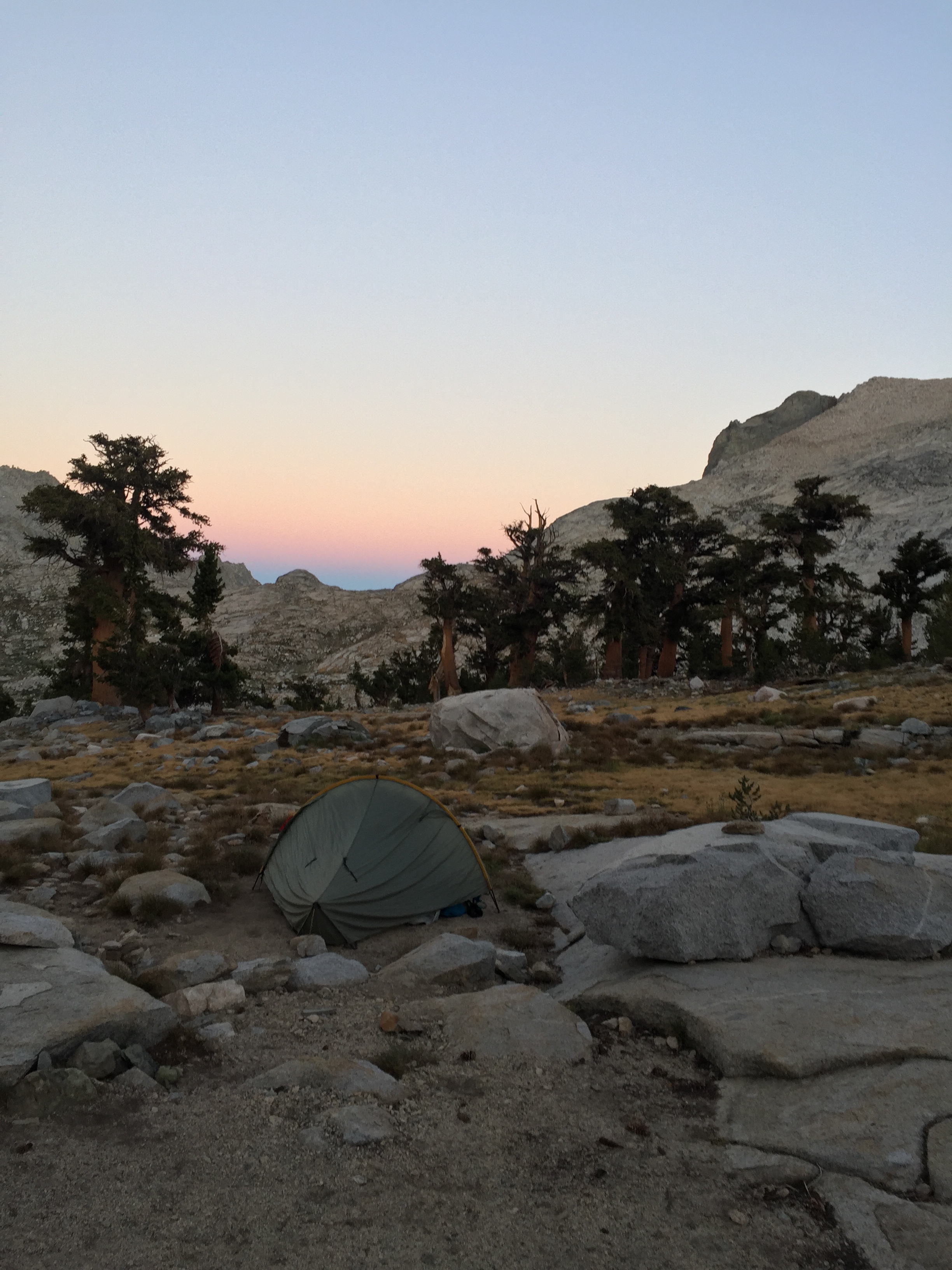


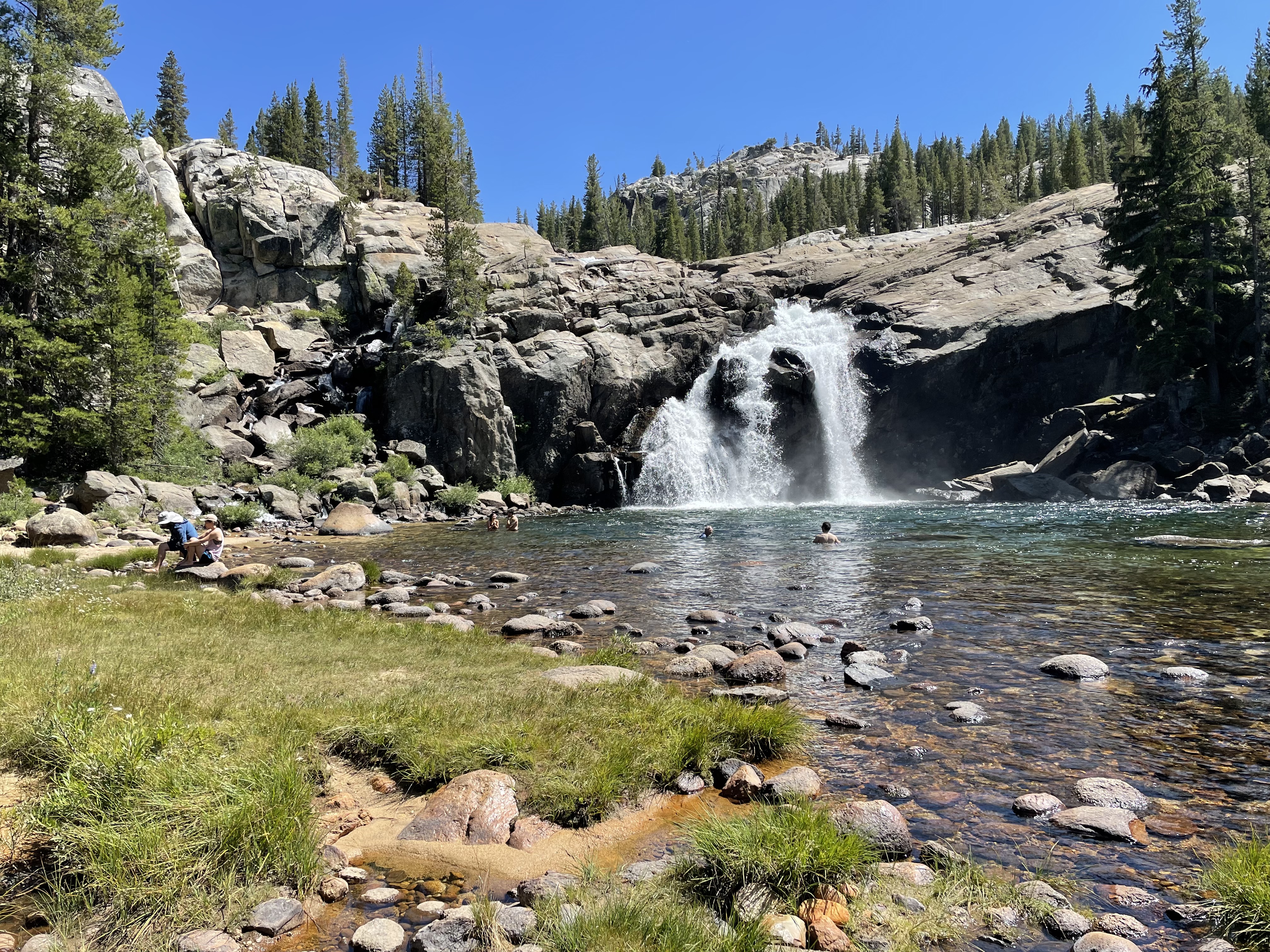
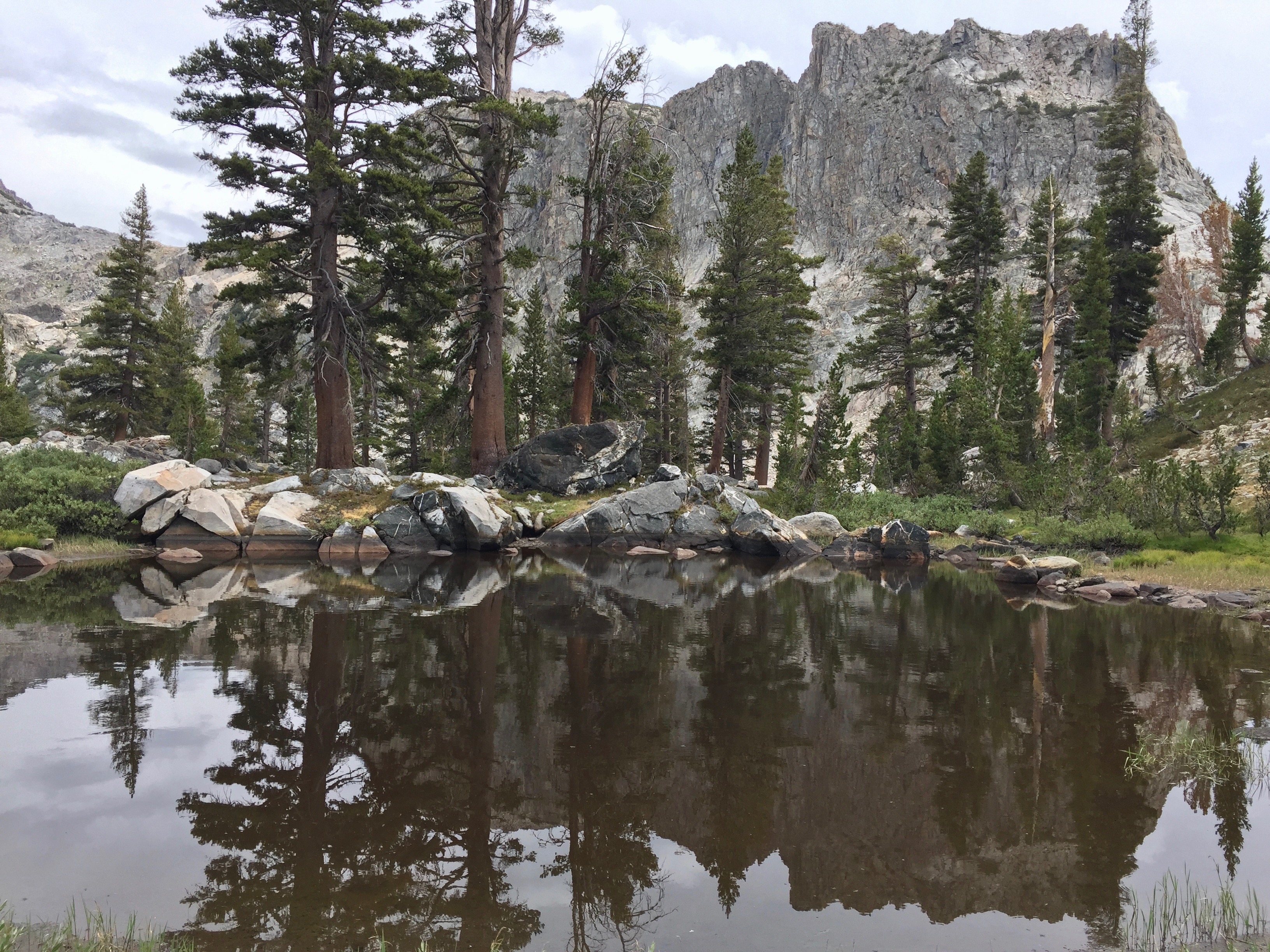
 By 6:30, the rain had stopped, and the sky was clearing. We sat on the smooth granite dome which makes the lake’s beach, and drank rooibos tea and split a granola bar, while we watched the light change on Eagle Scout Peak and Valhalla, and the ever-changing reflections on the lake water.
 The place has filled up with campers. I count a dozen tents, where there used to be maybe four. The beach is full of socially-distanced little bubbles, taking selfies and yakking away. B recently returned from Wisconsin, and brought back a joke: The toothbrush was invented in Adams County, WI. We know this, because if it had been invented anywhere else, it would have been called a “teethbrush.” I am giddy, and will laugh at almost anything.
 Now it’s 8:45, and almost “backpackers’ midnight,” and time to seek sleep. Good night.

 On the way up Big Arroyo today, we hiked for awhile alongside the creek. It was absolutely beautiful, and we didn’t see anyone for hours on end. Then, when we stopped so that I could fix my pack (more on that later), B went off to pee. As she squatted, she happened to glance up, and noticed a man some distance away with binoculars trained on her. Pretty funny, in all that emptiness!


 Over the past year, I have been walking a lot with someone with serious health issues, and it has been work to slow my pace to his. Now I am feeling like I can’t find my old rhythm. Maybe it’s age-related, maybe I just lost it somewhere. I am hoping that on this trip, I can find that beat of my feet on the trail again. But I am so grateful to be able to get out here. I thank my lucky stars!


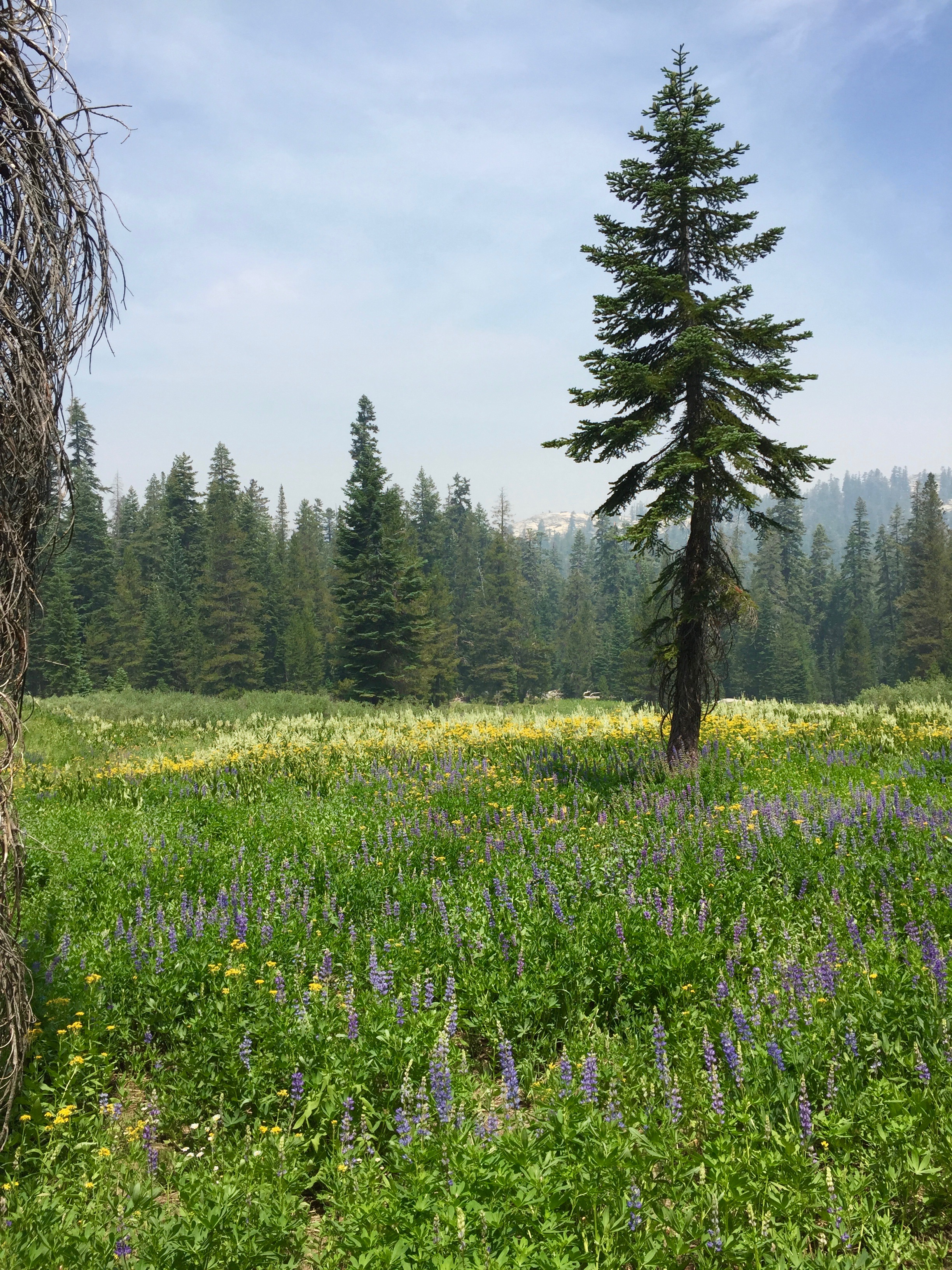
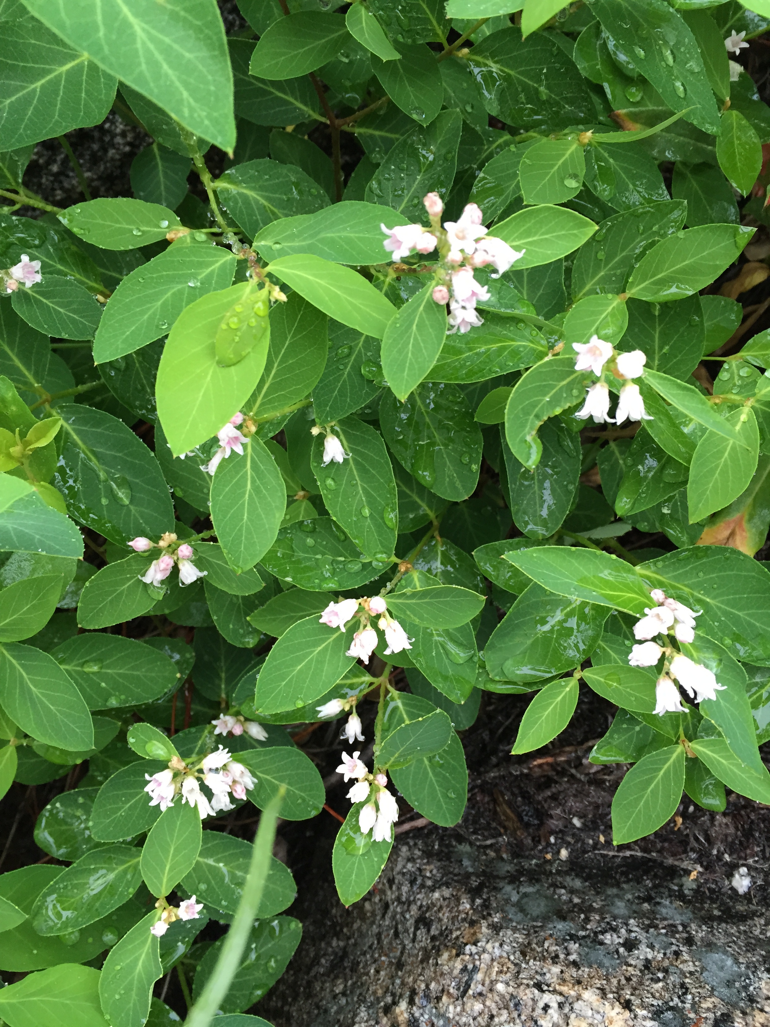
 Everywhere we walked there were tiny flowers. It was impossible not to occasionally crush them underfoot. The horsemint and pennyroyal scented the air and woke our senses.


 This morning, after a good night’s sleep, Barbara and I awake refreshed and pretty-much recovered, feeling full of energy for the day. We packed up and hit the trail up to Big 5 Lakes. It’s a beautiful uphill trail through golden chinquapins shining in the morning sun, manzanita and oaks, changing to pines and juniper as we ascended. It looked like a series of mountain gardens, with views of rocky crags and peaks every whichaway.


 Now, at Big Arroyo, we have been invaded by a group of about 7 men, all hiking to Mt Whitney. They are a little noisy, and their cam is a little close, but oh well. I’m glad to see people enjoying themselves out here. B and I made some rooibos tea and I read to her the notes from a couple of our previous trips, which happen to be in this same journal. I hope I don’t run out of room in it this trip!
 Barbara and I set up camp at the foot of Lost Canyon, among the lodgepoles next to Lost Canyon Creek, where we join the trail north to Big 5 Lakes. We wanted to go farther, but we were exhausted. Last night’s camp turned out to be in a wind tunnel, and the tents were so noisy, flapping in the wind, and close to collapsing all night long. We were on a hard-packed mostly granite area, and had used rocks instead of stakes to put our tents up. It was tough. The wind blew the rocks around, and they weren’t little ones! We both got up (not “”woke up”) at 5:30, and hit the Sawtooth Pass trail by 7ish. It was only 1.2 miles to the top, but it took 1.5 hours to get there. Looking back, I would love to have another chance to find the “right” trail! The way was braided with dozens of different paths, and it was impossible to stay on whatever the best one might have been. Lots of walking through granite sand and gravel on steep slopes, where you take one step forward and slide halfway back. Later in the day, we ran across a fellow who said he has a friend who has hiked over Sawtooth Pass five times, and had never taken the same trail twice.
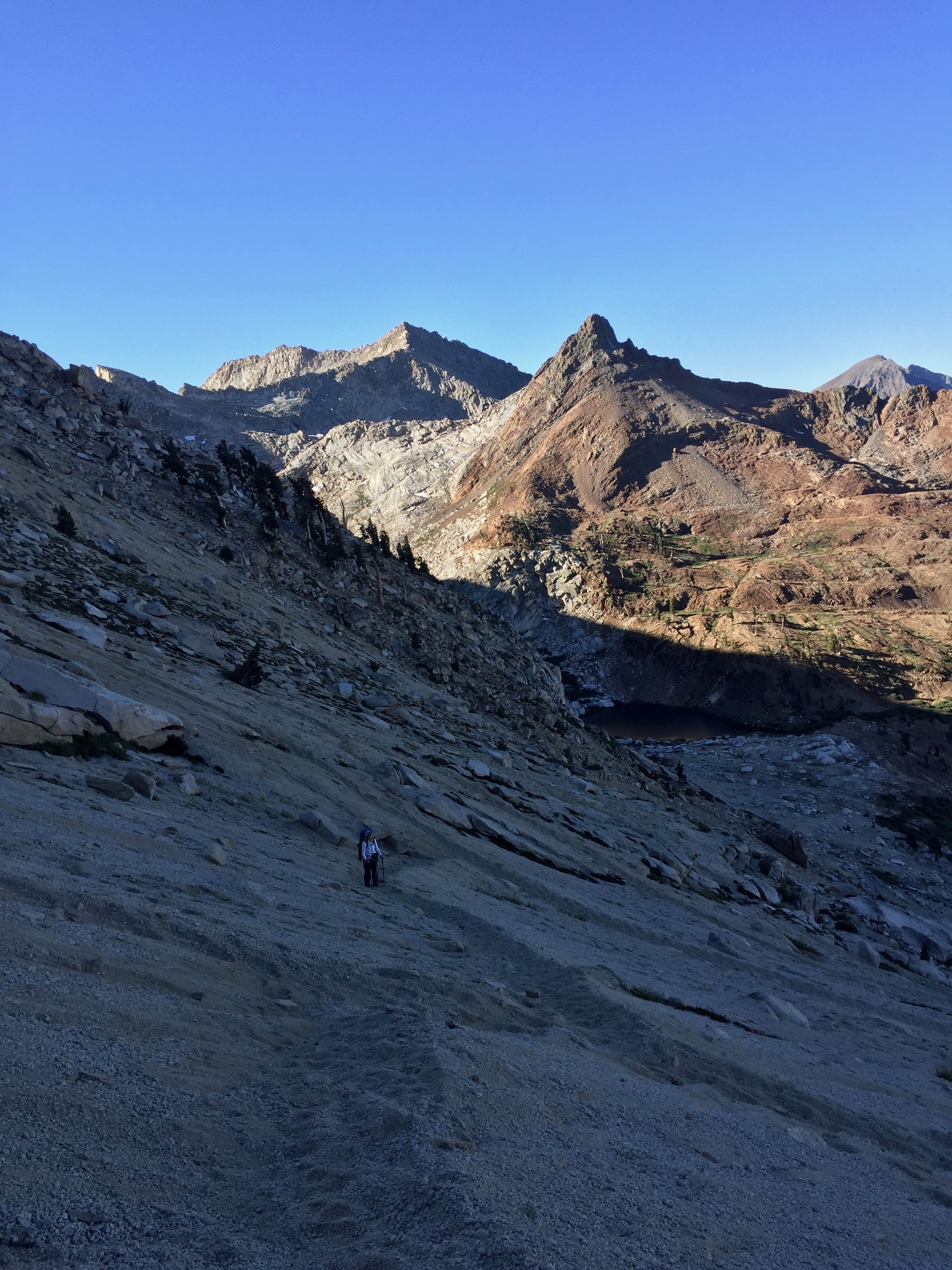


")


 A marmot ate a hole in B’s pack, when she left it unattended for a few minutes. We need to keep everything in our tents tonight, and keep a close eye on our belongings. They will chew on anything salty or if they smell food.


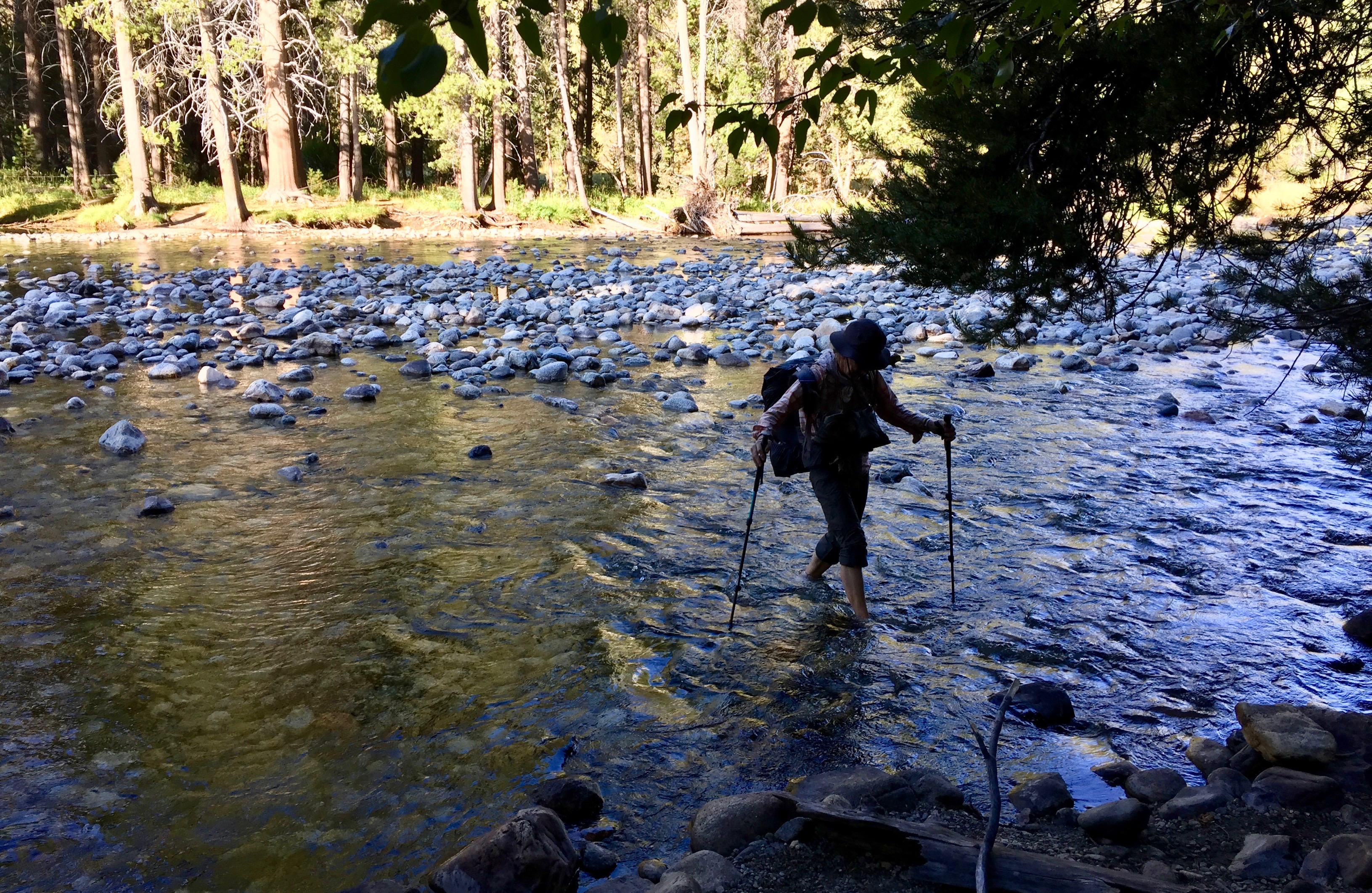
 Barbara lost her mosquito net somewhere on the trail, and I thought we should go back and find it, but we decided not to, and just kept going. We forded lots of little creeks and got wet in soaking meadows. I took off my shoes to ford Long Canyon Creek, which was big! It was rushing fast, but really only up to the knees.


 We expected to see more snow, as the winter of 2018-2019 gave the Sierra 160% of average snowfall for the year. But there wasn’t much to speak of until over 9000 feet—then, it lay in thick drifts across the north-facing slopes.
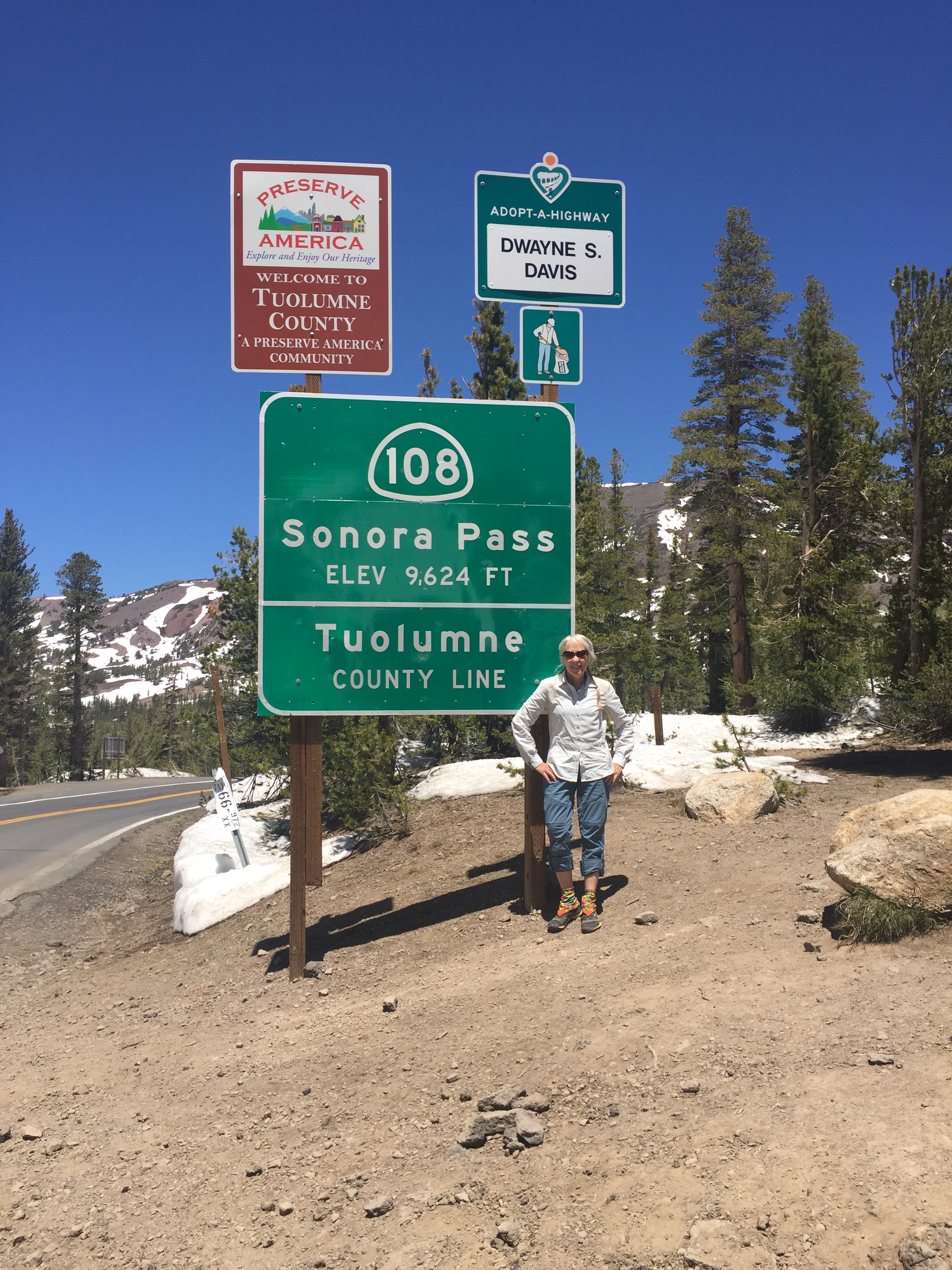


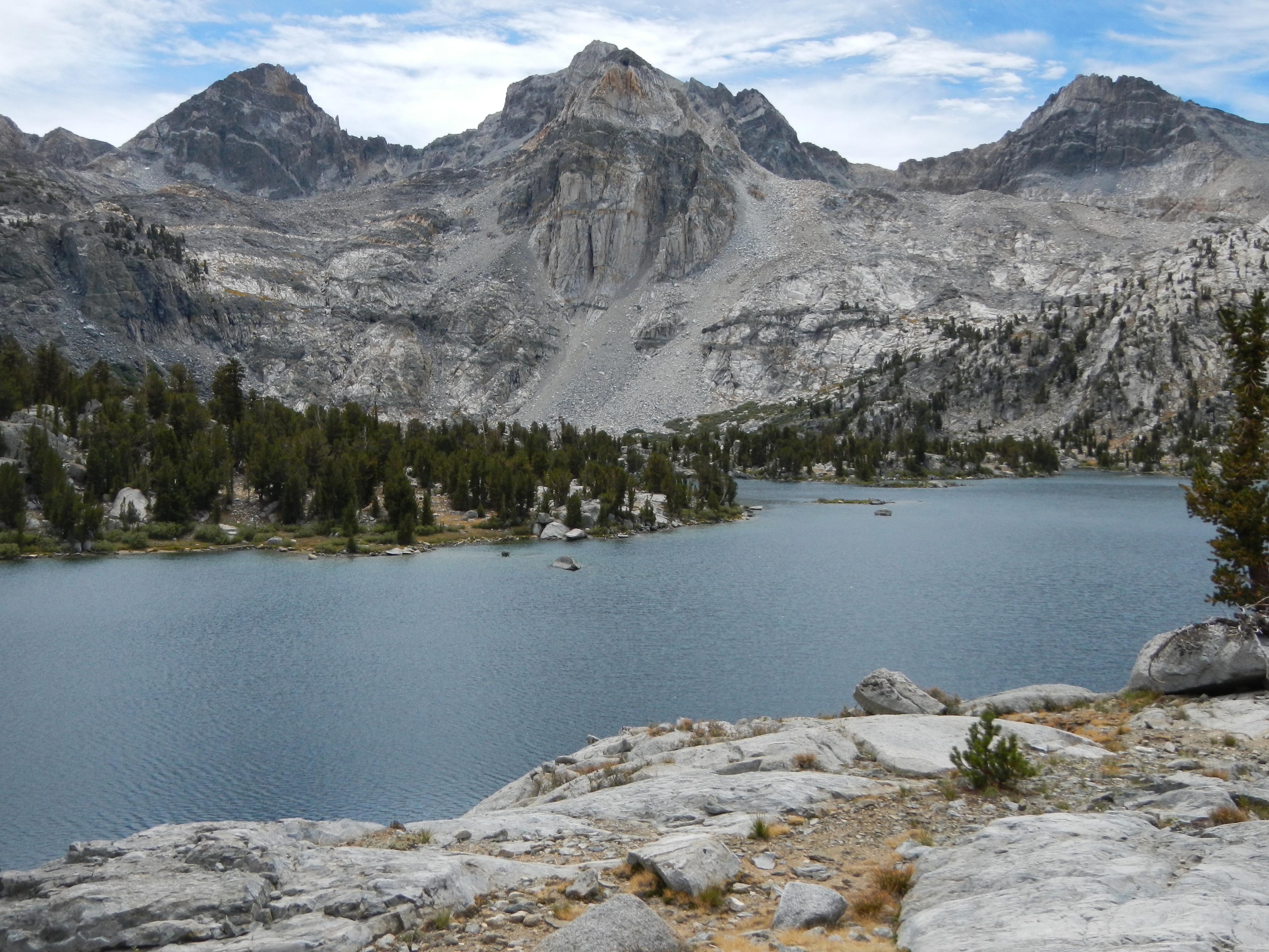
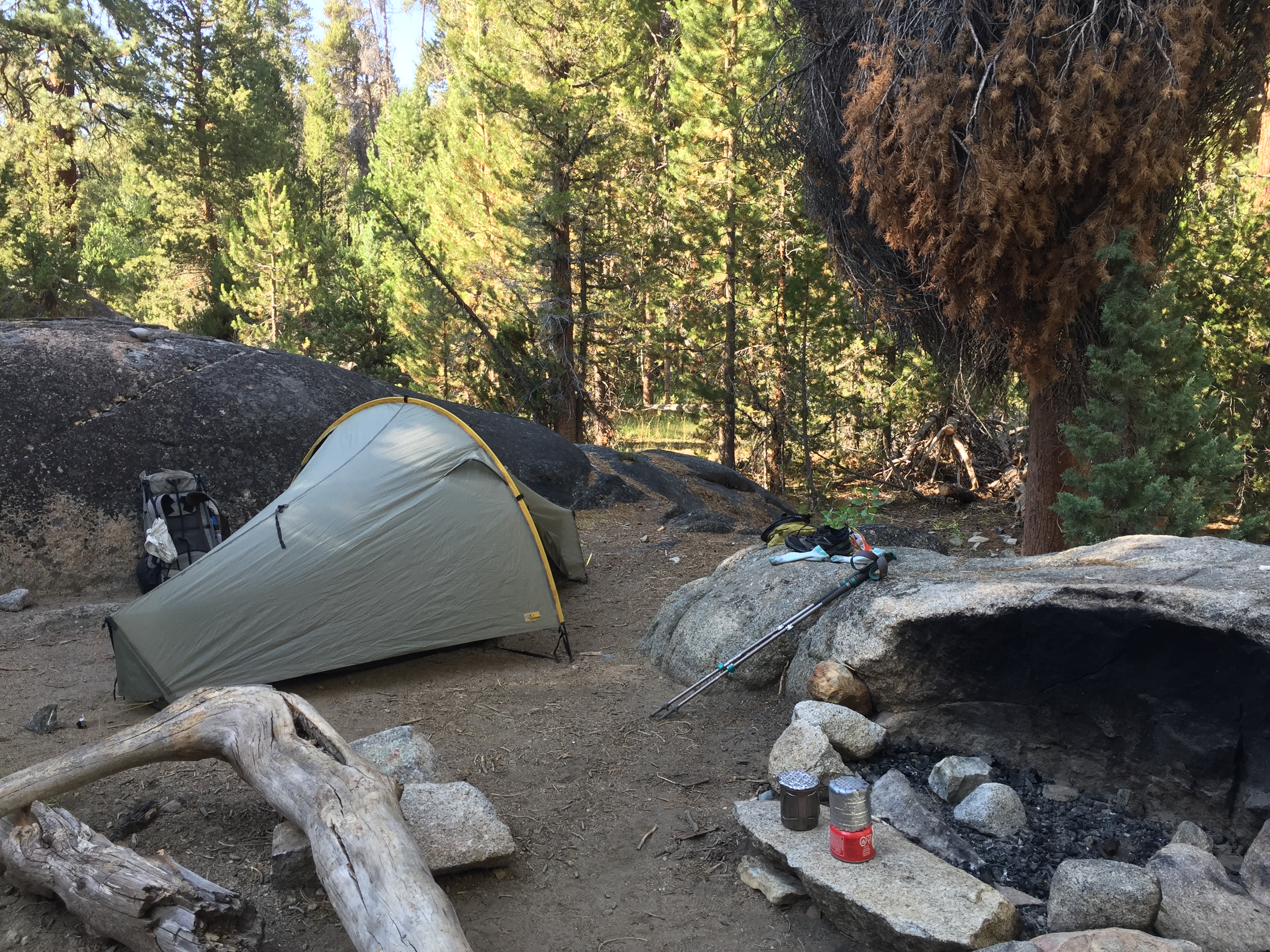
 Good tent sites. The other two groups had moved on, and this beautiful lake nestled amid Jeffrey pine and juniper is all ours. We decided to walk around the lake, and stopped for a swim. The water is cold, but not as cold as last week’s Yuba River swims!


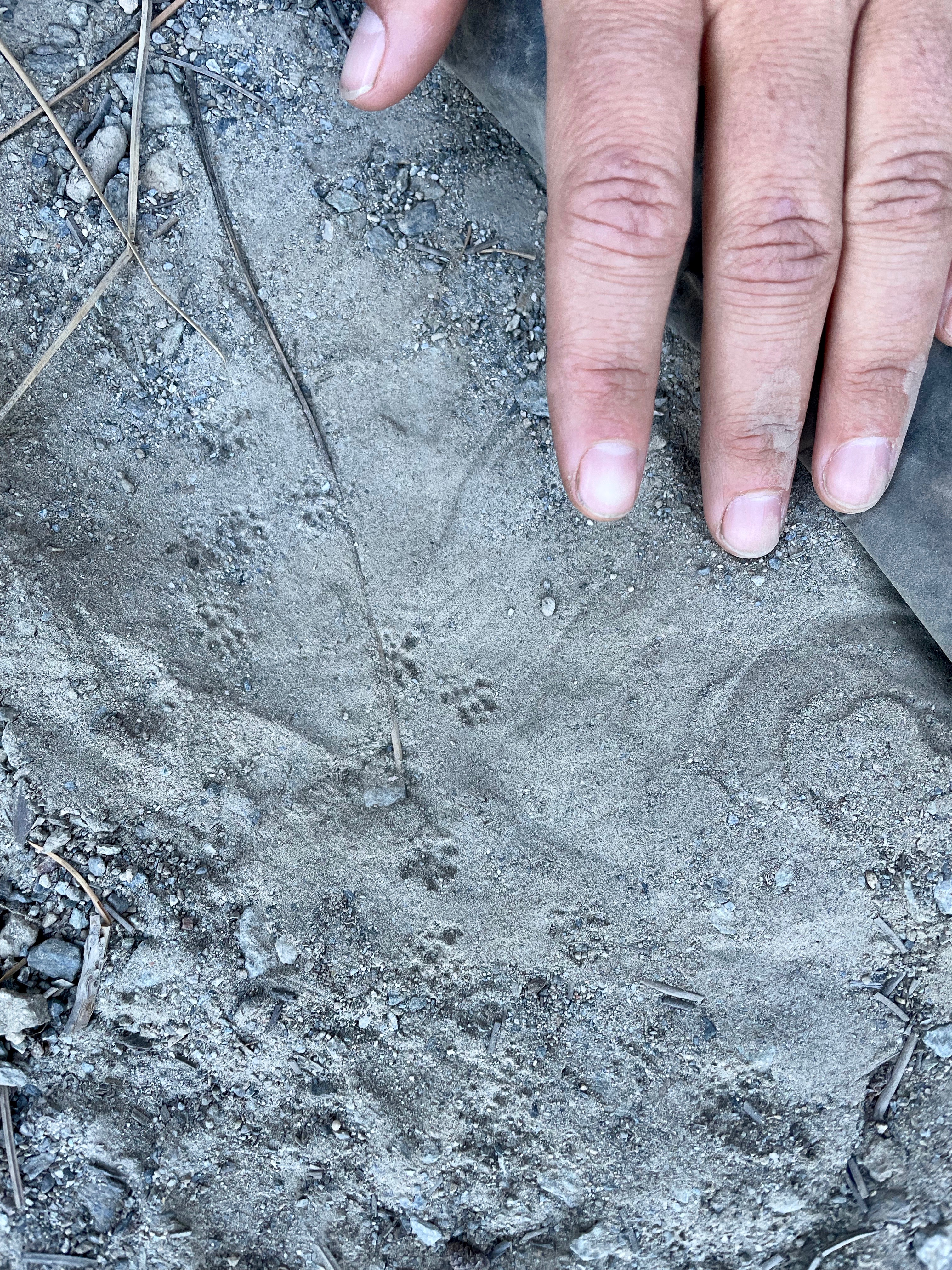
 From the east side of the lake, I thought it would be easy to just walk back through the trees and intersect the trail up to our north, but of course we missed it, and spend about a half hour poking around in the wrong direction looking for something that was slightly more than a deer path. We retraced our steps and found it. Such a big relief, every time that happens! It was marked with a cairn every once in a while, which really helped. I made a mental note of how sure I had been that we were going in the right direction, when actually we were 90 degrees off from it. Belief in infallibility is a real weakness. The first part of the trail is a pretty steep climb, and then we hit the meadows where we once again lost our way amid the flowers and dense growths of skunk cabbage. Lots of wandering in Beauty. One time, looking down, we found a beautiful fresh bear paw print in the mud of a little stream. Never did see who it belonged to.

 And so we once again headed back to the bear paw meadow, to find the trail back up to the saddle we had crossed over the day before, and from there back over to Wheeler Lake. Retracing our steps was, of course, easier, and we stayed on the trail more often than not. I found that I have a pretty good eye for remembering the contours of the land and individual trees.


 Leaving Wheeler Lake, we found a beautiful cold stream, and spent awhile there filtering and filling our water bottles in the cool shade.


 I decided to explore a bit to find us a campsite, and I’m really glad I did. On the far side of the lake, there was a long granite ridge, and nestled among the boulders was a real gem of a site, with views down the valley and up to the volcanic spires which we had seen on our left as we crossed the saddle, at about 8000 ft. We set up camp at about 3:30 and had a mid afternoon dinner.


 I am feeling much more comfortable with the map and compass now. For some reason, though we get no phone signal, Barbara’s iPhone is still able to find us on Google Maps. That seems rather sinister to me, but it does really help to have another point of reference to corroborate my semi-educated guesses. We walk in Beauty.


 I woke at 5:45 AM and was out the door by 6:30, riding with my friend Katie Renz up to the May Lake trailhead in Yosemite. Katie and I had met the previous summer, hiking on the High Sierra Trail in Sequoia National Park. She was on her way to Mt Whitney, and I was just wandering and enjoying a certain aimlessness. Since then, we had been planning a backpacking trip for this time period, expecting to be able to hike above the treeline somewhere.But with the enormous snowpack, the high country was still too impassable and many creeks too dangerous to ford. So in lieu of the backpacking trip, we had opted for a couple of day hikes, staying at night at the Yosemite Bug Resort, where I was cashing in on a comped two nights’ stay to make up for a water problem during the Yosemite Songwriting Retreat the previous Summer.
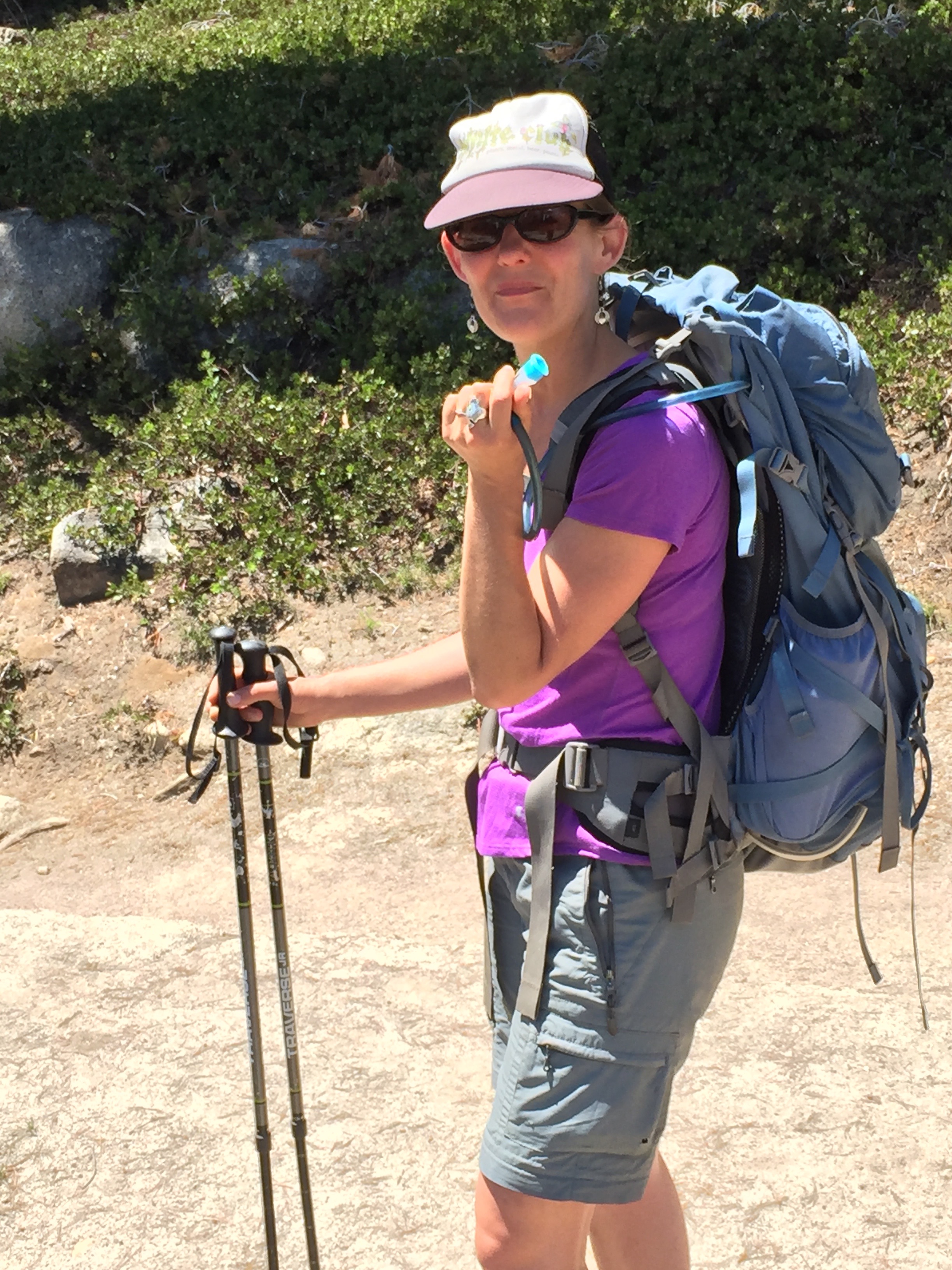


 There were gorgeous views of the Murphys Creek drainage, and beyond to the high peaks. The next few miles were perfect hiking: deepest azure cloudless summer skies and expanses of polished granite. Everything I love about the Sierra. Katie and I were good hiking companions, well-matched speed and endurance-wise, and equally and alternately quiet and talkative.

 We came to a stream crossing where the water sluiced across slick, glassy granite. I liked to keep my phone/camera in a zippered pocket just above the knee of my pants, where it was easy to access. I had just stepped out of the creek and onto the dry trail when I felt a strange slithering, and my phone dropped to the ground out of the bottom of the pocket. The seam had just come unraveled. I spent a few moments feeling grateful for the timing of the accident. A moment earlier, and it would have landed in the stream, and possibly have been swept downstream before I could retrieve it. It might not have killed it, but it probably would have been the end of photos that day…
 Those trees don’t look like they could be hiding so much snow!


 As I descended, it occurred to me that I was entering the biome where I might see Sequoiadendron Giganteum, the mountain redwoods. No sooner had I thought that, than I turned a corner and was suddenly in a small grove of relatively young beautiful, tall, straight trees (the area had been logged maybe 100 years ago or more, and there were no giants left), with late-season dogwood still in bloom in the darkness. Azaleas blossomed everywhere, and the air held a cool dampness that the rest of the route had lacked. John Muir wrote about how the Sequoia root structure conserved water for everything else around them, and created their own environment, separate from the forest around them. That difference was palpable.


 I emerged from the forest at Old Inspiration Point, which showed the wear and tear of countless admirers over the last 100 years. The park had closed it due to overuse. It was beautiful, and I stopped to rest in the quiet and relative unbugginess of the open air. After I had proceeded down the trail a few hundred yards, my knee started hurting and I realized I had left my trekking poles behind at the lookout. Damn! I backtracked, retrieved them, and started down again. The trail had become very dry, dusty and rock-strewn, and eventually joined what used to be the old paved road. There was no sign of anyone else having walked on it for a long time, and it was littered with fallen trees, and destroyed by landslides in the gullies. This part of the trail/road wasn’t even shown in my Yosemite hiking book.
 At one point, as I approached a small stream, I surprised a male quail, who actually quailed at the sight of me. It was fantastic. I don’t know which came first, the verb or the bird, but it was wonderful to see. He squatted down, ducking his head, and turned tail and ran. It was like a cartoon reaction.
 The last portion of the descent paralleled the new road at a little way up the hill, and I could hear the buses and cars whooshing past. I reached level ground near Bridalveil Falls parking lot, and started looking for a shuttle stop. I didn’t want to walk into the parking lot, though, and so missed that stop completely. I continued walking along the road east through the valley. The Merced River overflowed its banks to the left. Tourists were snapping photos and posing for selfies everywhere.


 Dewey Point is gorgeous! I spent a couple of hours there soaking it all in. Struck up a conversation with a young German man out for a day hike. He’s traveling the US and Canada until October, when his visa expires and he flies back to Germany. He has been working in Canada for a few years, and saving up money, planning for this trip. He’ll be hitting almost all of the western National Parks, mostly sleeping in his used Toyota van. For the second half of his trip, he will be joined by his mom. Awww. Tomorrow, he plans to hike up Yosemite Falls. I envy him the freedom and the strength of his youth.


 I stopped at a little creek crossing for a bandanna bath. It was so refreshing, but it didn’t make me walk any faster. Ribbon Falls is full and beautiful across the valley. The water breaks up and turns to mist after the first 1,000 feet of fall.

 I walked back to the last stream (Meadow Brook?) I had crossed, and went a little ways upstream of the trail to bathe. There was a perfect little pool down a steep bank, clear of sediment but with the water stained the color of weak tea by the tannic leaves. I washed off the salty sweat, rinsed out my hair and clothes, and walked the half mile back to camp in flip flops. I hung my wet clothes in a tree and tried to nap. That didn’t work. I ran out o storage space on my phone and started madly deleting old photos and apps so that I can still take more pictures. Every moment the light changes, and I want to capture some of it.
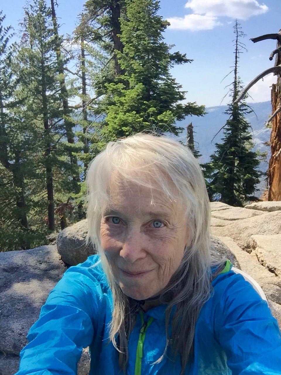

 Woodpeckers, robins, ruffed grouse, mountain chickadees (“Hey, Laurie”), and suddenly a little Merlin streaking past.


 Sunset at 8:25: the mosquitos are out in force! I have donned two pair of pants, gloves, hat, mosquito net, socks, and shoes. But they still seem to get me. Into the tent to escape.
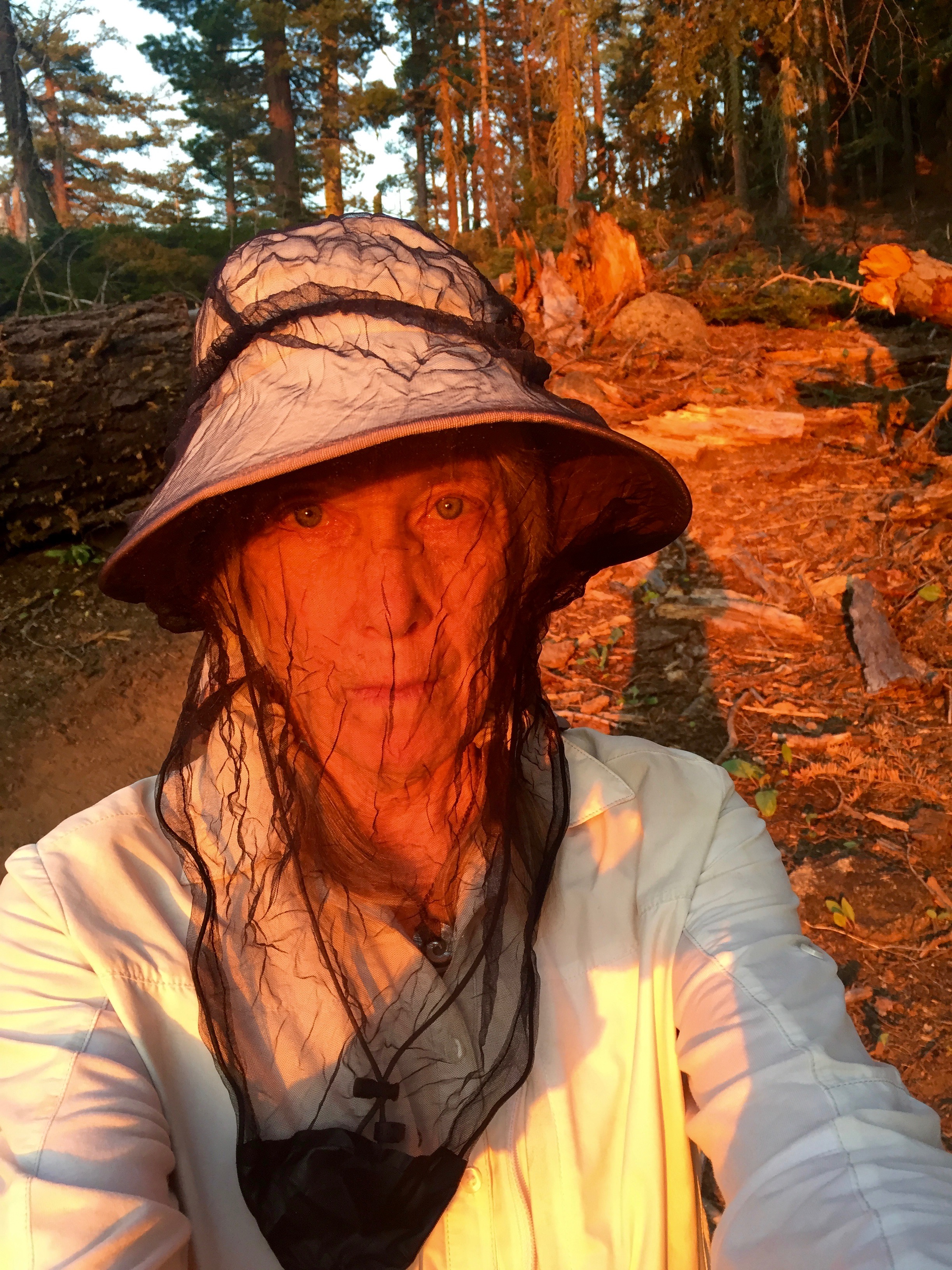

 I am so sad tonight. Thinking of “all my long-lost friends and lovers,” as Rosalie Sorrels sang. Phil, I am going to miss you when you’re gone. Tom Size, there is still such a sharp pain when I think of you. Sarah, Charles D, Charles S…I realize most of my lost friends are men. My women friends are mostly still here.
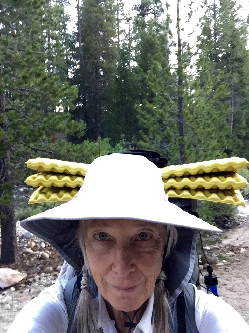


 In the midst of such beauty, I am occasionally overcome with sorrow, thinking of my friend Phil Brown, who is in the process of dying as I walk in his beloved mountains. I wish he could be with me. Phil is a member of my chosen family, a wonderful artist and funny guy, approaching his death with dignity, humor and openness. It breaks my heart.
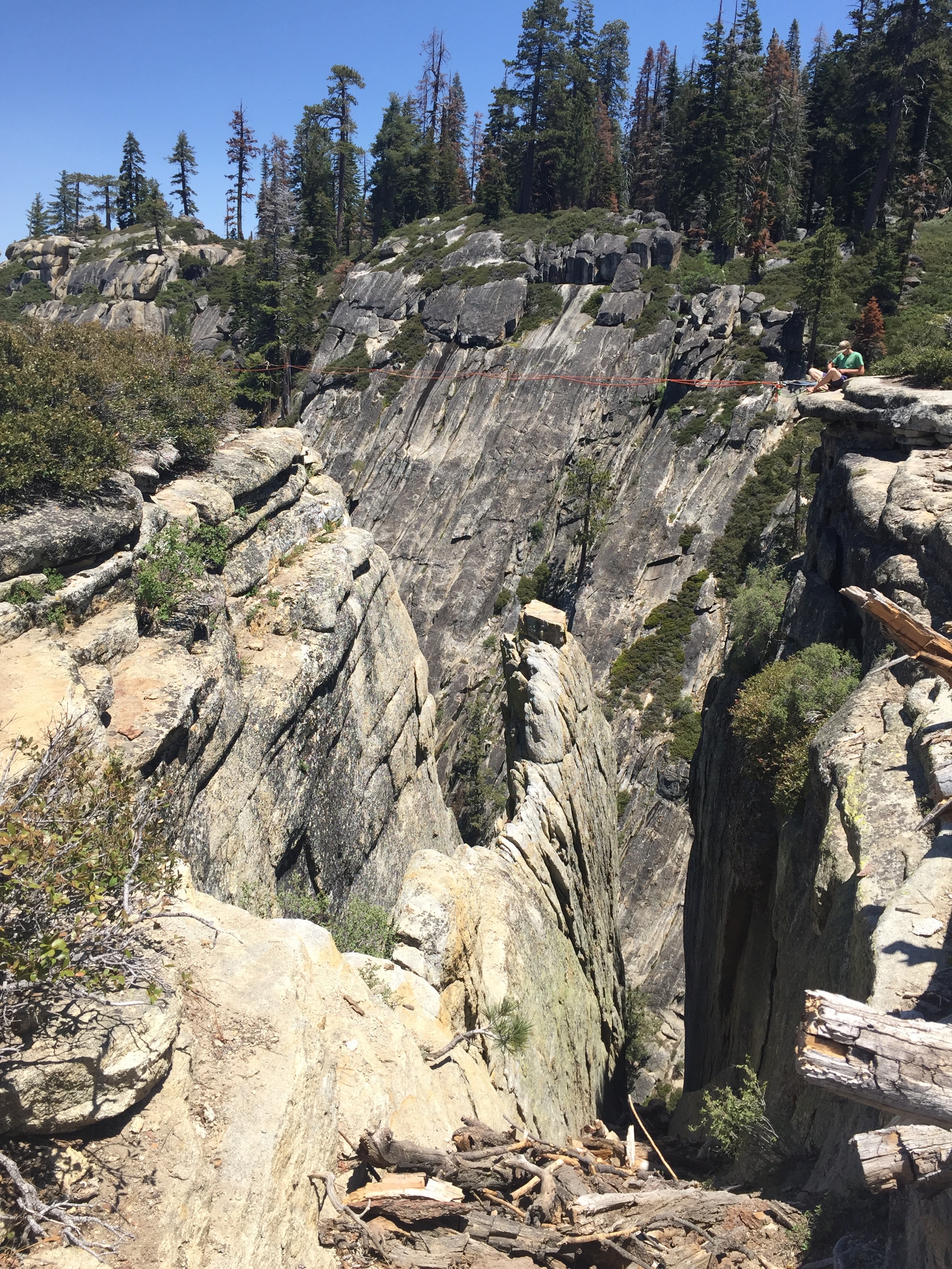

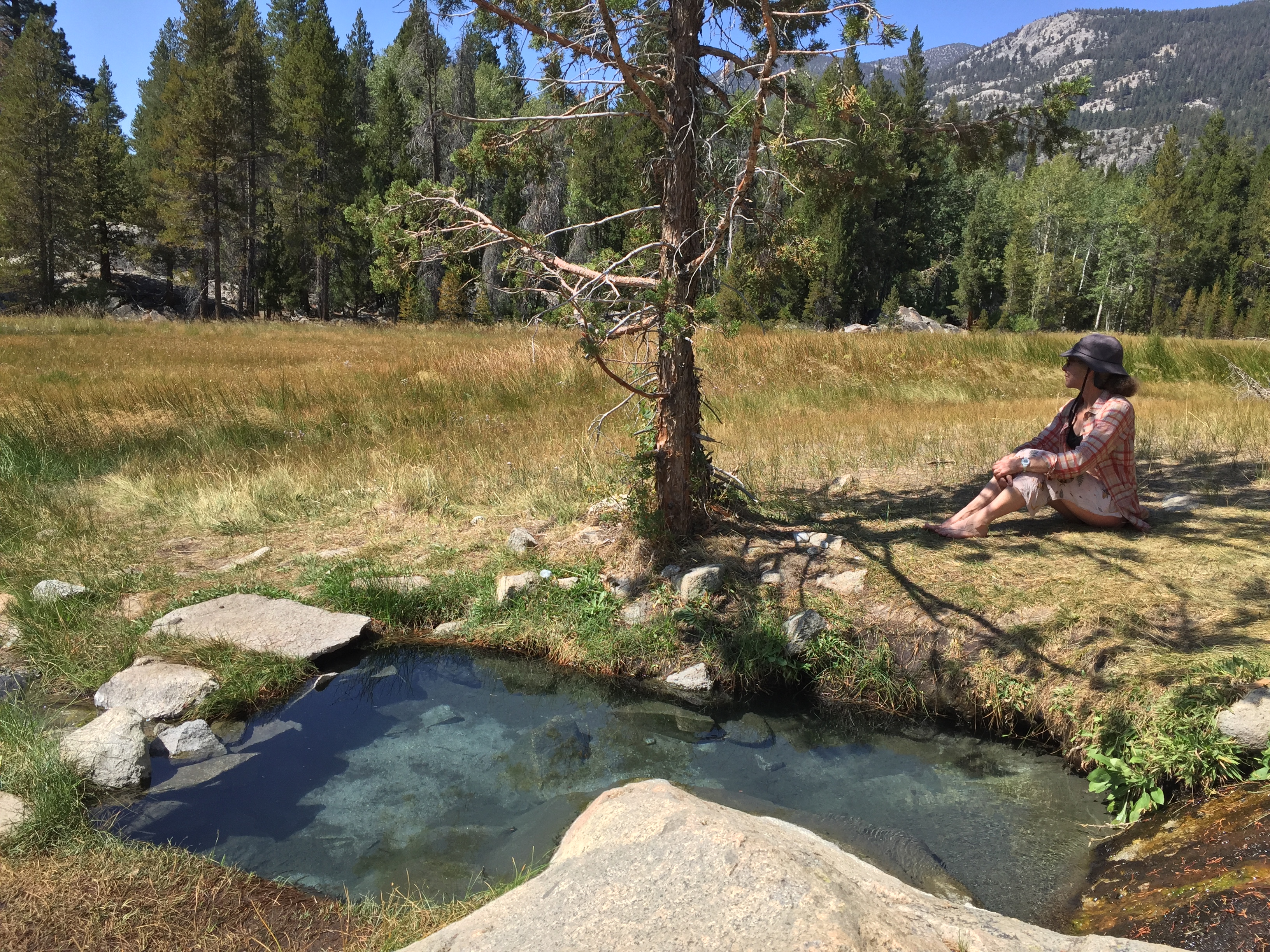
 I love washing up after such a hot and dusty day. The creek water (snowmelt) is super-cold but refreshing. Rinsing out my socks, gaiters, shirt, and gloves is a chore I really enjoy. And I cherish the fleeting taste of salt as I (quickly) submerge my head in the water.
 It was 2:00 PM when I arrived here, a nice early day. Map mileage shows somewhere around 9.5 miles, but my phone mileage shows 15.4 miles, 28,783 steps, and 76 floors climbed. I am tired!
 A party of 15 just arrived, all young teenagers. They said they hoped they wouldn’t be too noisy. I couldn’t hear them at their campsite, but can certainly hear them whooping and hollering down by the creek. I am feeling guilty that I have the best, flattest and most expansive campsite in the area all to myself. I could rent out the extra room. Or just give it away. I feel sort-of lonesome, and wish I had brought a book (one of the other things I forgot) There are still a couple of hours to kill before I can reasonably go to bed, as it’s only 6:30 now.


 I met and loved his four-legged companions Roger, Rosie, Red, Roxie, and a couple of others whose names have faded (except for the indubitable fact that they started with an “R”). Here are a couple of photos of Roxie, relaxing on the lawn and with her favorite item (a ball). She was found when she was a few weeks old, thrown away in a dumpster. Tom took her in and she grew into one of the happiest, most loving and trusting dogs I have ever met.


 It’s a beautiful clear, cloudless day. I saw a flock of birds break from the lodgepole pines in the shade below and then spiral upwards into the sun. They circled and then dispersed around the basin. Two landed on a boulder close by me, and I was able to identify them as juncos. I didn’t know that flocks nested/roosted close together at night. Now I do.


 I spent hours hiking around 9 Lakes Basin. There are no trails, so I tried to keep to the rocks whenever possible and not tread on the tender plants. I imagined if I went missing, they would hunt for me with dogs. They wouldn’t find any footprints. I wondered if anyone would comment on my careful path. I found myself on a shelf of slick granite, and considered climbing along a very tiny ledge to continue. Thought again and decided on the more prudent path of backtracking and descending along a different plane. After all, I am alone out here. I already slipped once on the granite yesterday. I navigated by sighting on one wind-blasted lodgepole and heading toward it, then finding another and heading toward that one.


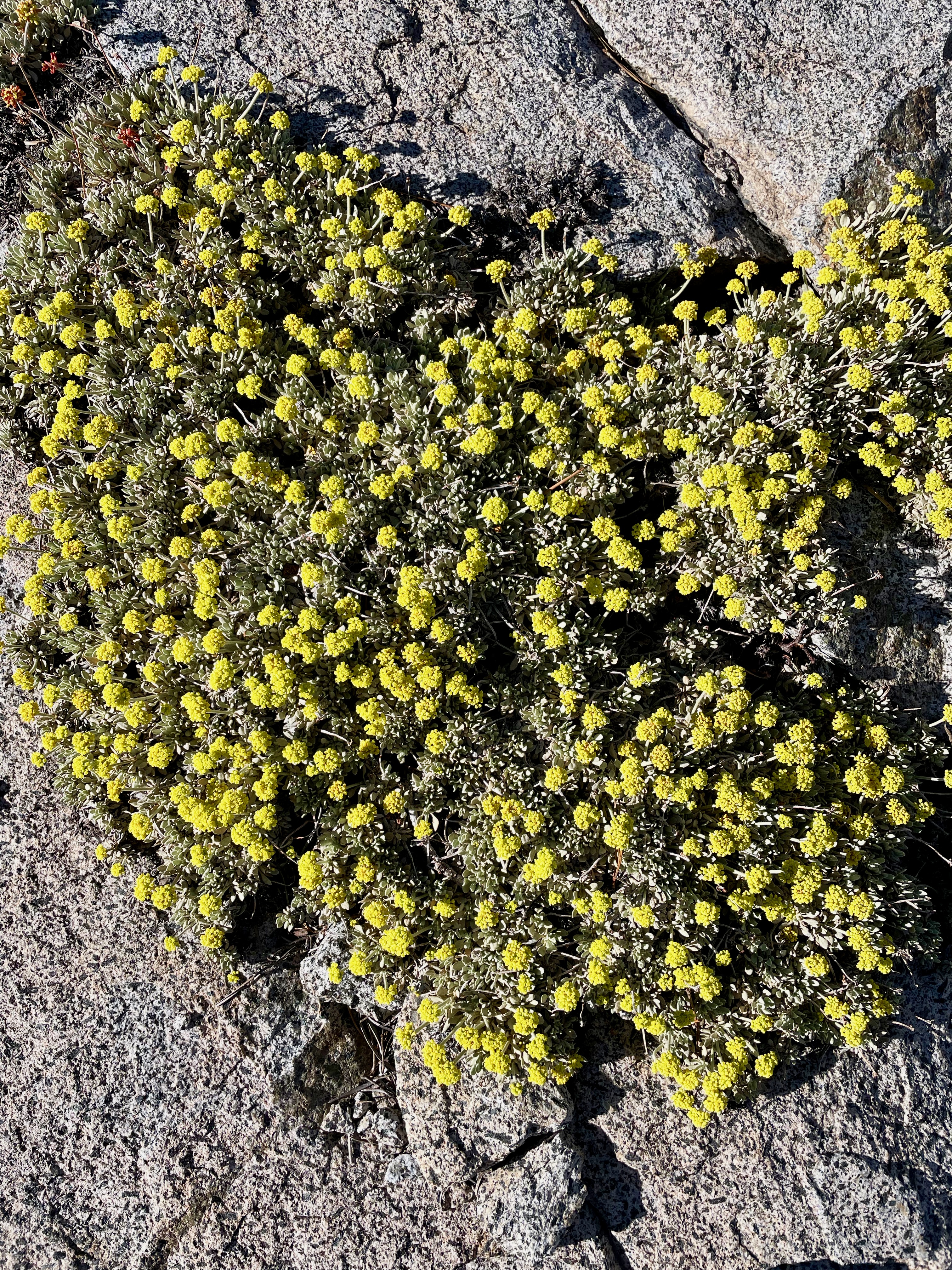
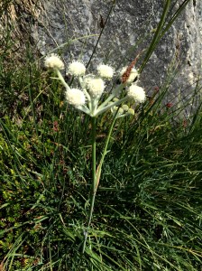 These little guys are Ranger’s Buttons. A great name for the button-sized blooms.


 7:15 and I’m in my tent. The sun is back out, and Katy, my neighbor, is just finishing dinner. My phone informs me that today I climbed 51 flights of stairs and hiked 13.52 miles. I’m ready to snooze. I can hear the various groups of campers chatting away around me, and fear they will keep me awake (spoiler alert: they didn’t).


 to be there, from 3:00 PM to 6:00 PM, but the Donkey website listed the start time as 5:00 PM, so he got there just before we quit. He got caught up in the Hwy 37 traffic jam caused by the NASCAR races at Sears Point. There was soooo much traffic that day, with the convergence of the San Francisco Pride Parade (on the heels of the historic Supreme Court ruling) and the races.