7/28/2020
Barbara and I were up and leaving camp by about 8:30 AM. from here, the trail rises to Timber Gap in aa little over two miles, with an elevation gain of 2,500′. I felt really good and strong, and the pack was, of course, the lightest it’s been the whole trip, since we ate all the food except for today’s snacks. That’s one of the ironies of the trail: when you start out, you are in the worst shape and carrying the heaviest load. As you get stronger, the load lightens. Wish it could be the other way around!
 The trail, through lodgepole and sugar pine and various other spruces and the like, led through meadows alive with flowers and butterflies. There were little white ones, orange ones, and on the way down some of those beautiful tiny Sierra blues. Chickadees sang “‘Bye, Laurie” to me as we walked past. Stopping to rest at one point, we watched a whole family of marmots waddling among the rocks. Chipmunks and ground squirrels ran hither and yon. It was a beautiful morning!
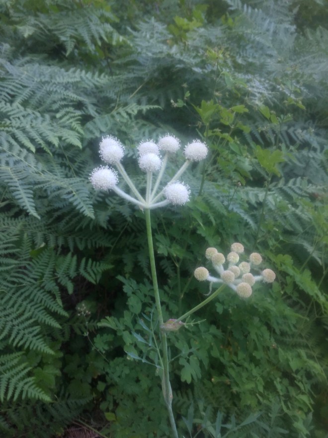
Ranger’s Buttons (don’t you love that name?)
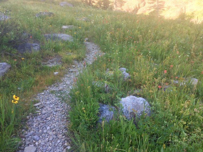
The perfect garden path.
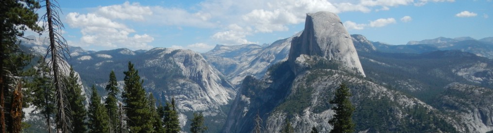
There were occasional views across the Middle Kaweah River Valley to Little Blue Dome, Morro Rock, and glimpses of the High Sierra Trail.
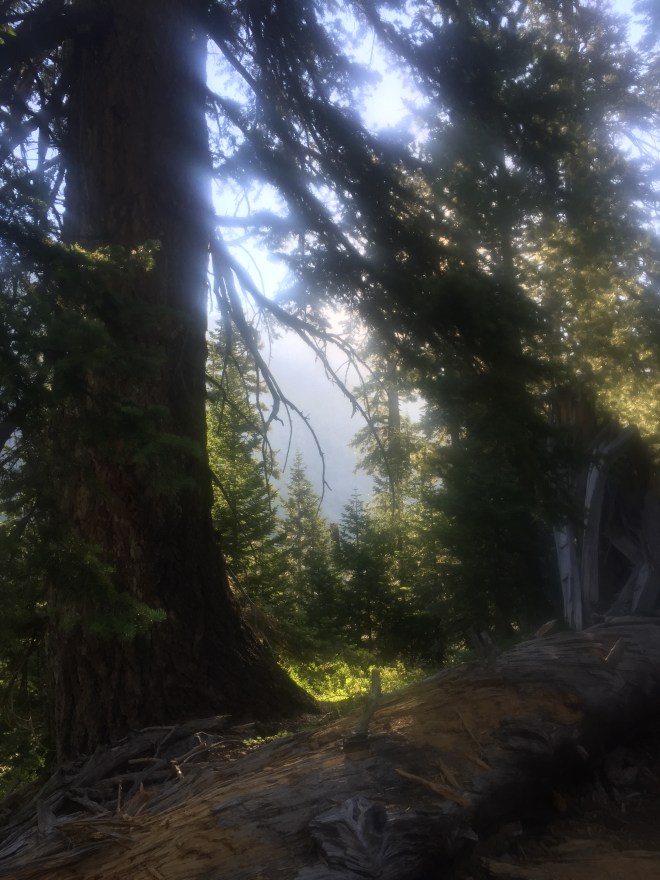
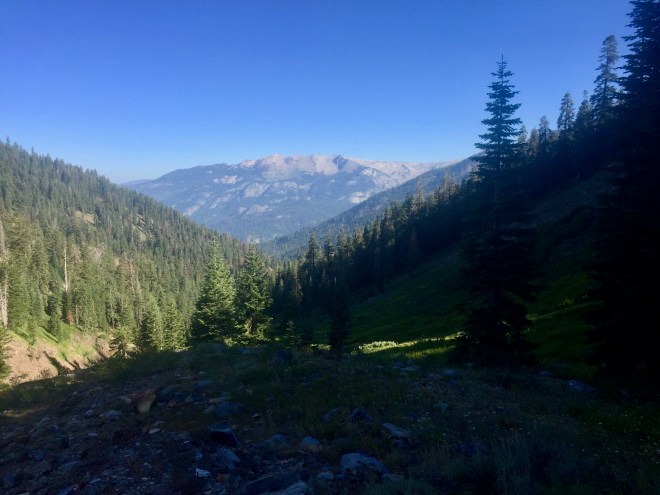 The last bunch of switchbacks to Timber Gap were a little daunting—more psychologically than physically—because I couldn’t tell where we were headed. I’d think I’d see the Gap ahead of us, but then the trail would make an abrupt turn and I’d have to rethink where we were going to reach the top. And then suddenly, there we were at 9,500′, and it was all downhill from there. True to the name, Timber Gap is pretty heavily wooded, so not much in the way of views.
The last leg of the trip was a breeze. My legs felt positively bionic, and i definitely had regained my stride. Feels so good!
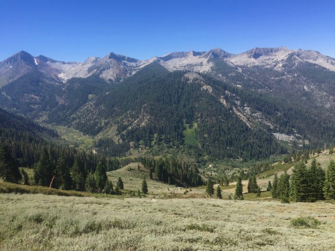
It looks very Alpen, coming down to Mineral King, but wilder.
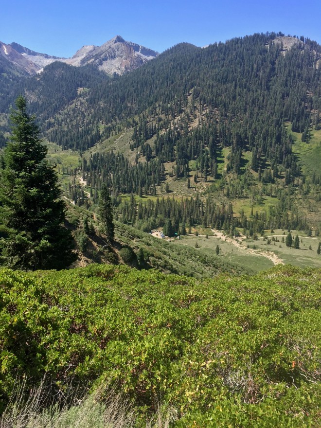
I can see the van!
Coming around one bend, I was surprised to see a Douglas squirrel nearly at my feet. It looked like something right out of a Japanese Manga magazine, with huge eyes, tufts on its ears, a perfect question mark of a tail curled over its back. Its’s definitely the prettiest member of the squirrel family I have ever seen. I had this feeling that i had seen one before in my rambles, but honestly couldn’t say whether it was only because I have read about them and seen their pictures so often. I knew it immediately. It foraged under a tree for awhile, and then ran up onto a branch to munch whatever it had found. My heart leapt for joy. I tried to take photos, but of course they were completely inadequate. So I stole one off the internet.


This is the best I could do…
Back at the van, the unwrapping process was straightforward and without mishap. There was a big puddle of water on the tarp from the thunderstorms. I could hear the stream rushing just out of sight from the parking lot, and suggested we take one last rinse-off before ewe changed our clothes and started the long drive home. Now, that was a GOOD IDEA!
 Driving out on Mineral King Road, we passed through Atwell Mills, and were awestruck, and saddened, by the size of the Sequoia stumps everywhere. Then, farther down the road, we looked back the way we had come, and could see Sawtooth Peak and the beginning of our hike.


Add two feet all the way around, to account for the bark. That was a Big Tree!
Farther still, we stopped in Three Rivers for ice cream. The best I ever had!
Then it was back on Highway 99 and a quick trip back up north to home. I confess, it was good to get home, just in time to harvest the last of the plums, and to see my loved ones again, but I am already ready to hit the trail again. Thank you for traveling with me.
Barbara just sent me some more photos from our trip to share, so here they are. Enjoy!
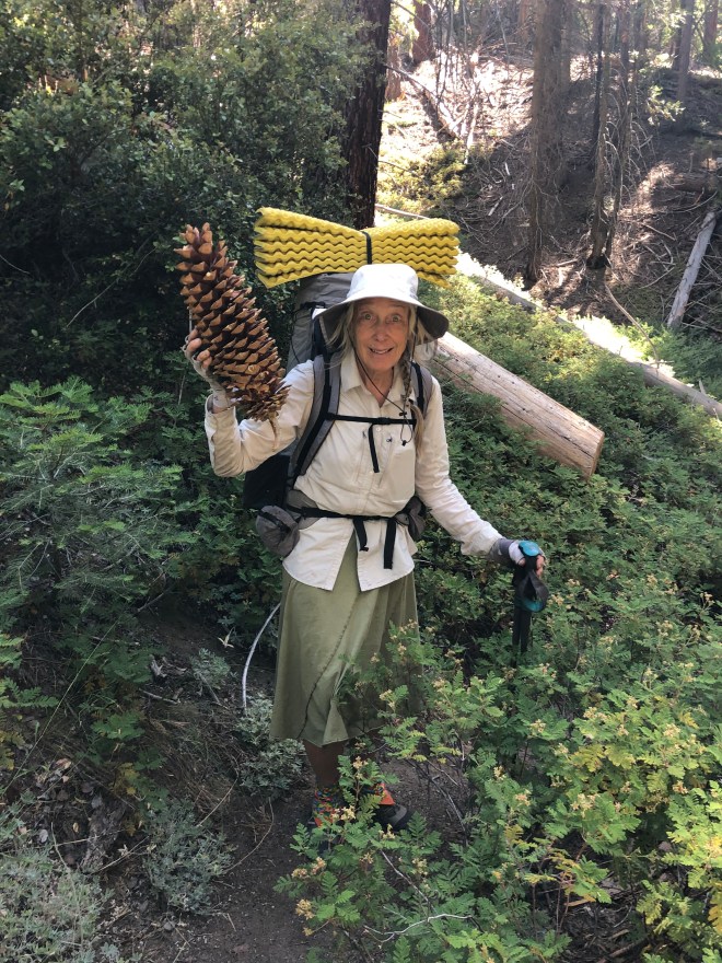
Whoa! A Sugar Pine cone. I am standing in mountain misery, FYI. It’s a very pungent, resinous ground cover. I thought that it was Scotch broom I was smelling at Val’s Cabin, but no. This is it.
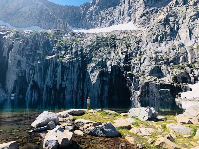
Standing on the edge of Precipice Lake
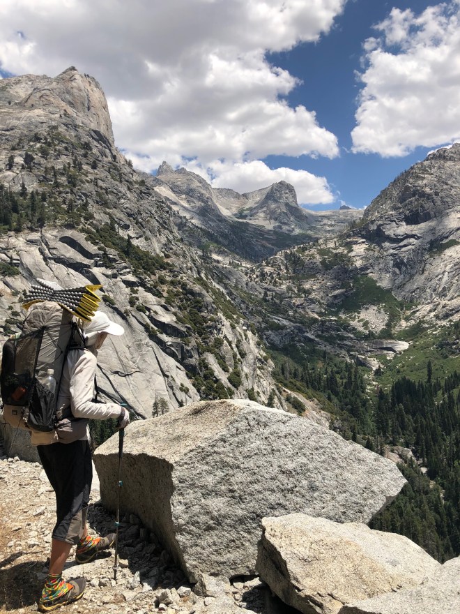
Overlooking the Middle Kaweah Valley, facing east toward Hamilton Lakes. Tiny peak in the background is Eagle Scout Peak, which rises above Precipice Lake.
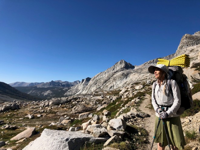
One last view of Kaweah Gap.
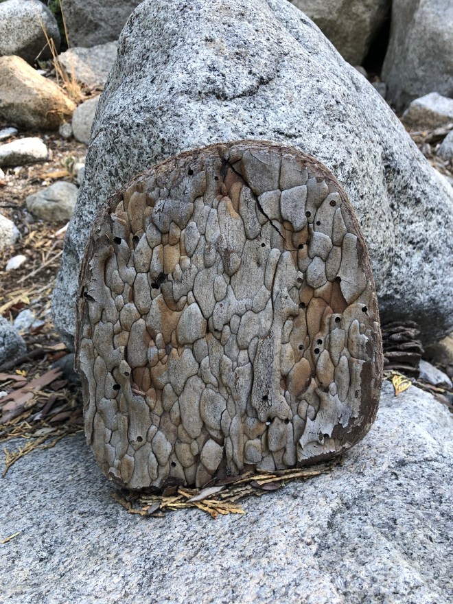
Nature left a piece of Art at our Granite Creek campsite.

My first real backpack was from Mineral King to Redwood Meadow over Timber Gap and back via Atwell Creek. That was 1974. Nice to see the Timber Gap trail is still in use. Thanks for rekindling some good memories with your posts! 🙂
LikeLike
Happy to see you made it back, safe and sound. I am in awe of your energy and
know you will make more trips into the wilds!
LikeLike
Wow ! Nice journal! No pikas up high? Are they for even higher ground?
LikeLike
Nope. No pikas on this trip, that we observed. Maybe our next trip, in northern Yosemite. I hope so!
LikeLike
Pingback: Artist Spotlight: Laurie Lewis - folkalley